Beantwoord enkele vragen, en binnen seconden geeft AI je een persoonlijk aankoopadvies op maat.
Beantwoord enkele vragen, en binnen seconden geeft AI je een persoonlijk aankoopadvies op maat.
This is a brand new title for ITMB and an attempt to portray a changing travel landscape in a mapping format. Eco-tourism is a rapidly growing activity, with enormous potential. At the same time, governments are seeking to reduce carbon pollution by encouraging train travel, so ITMB is climbing aboard the movement by publishing a map encouraging train travel while still retaining the road network and noting all the long-distance bike routes in southern France by designated number. This is, by its scale, a generalized map of that portion of France south of Poitiers or Lyon to the Mediterranean, so is more of a regional map showing biking opportunities than a detailed trail map. Nevertheless, it is an excellent map on waterproof paper showing cycling routes and tertiary roads that are suitable for recreational exploration. Naturally, motorways and main highways are shown as well. Legend Includes: Roads by classification, Rivers and Lakes, National Park, Airports, Points of Interests, Mining, Highways, Main Roads, Zoos, Fishing, , and much more...
€13,95
Bekijk product
The shape of the UK makes it difficult to map logically. The term South East, within crowded England, is generally more restrictive than is appropriate for a map. Our definition of SE is from the English Channel north to the northern tip of East Anglia and west to Portsmouth/Reading/Peterborough. This occupies side one of the sheet. Side two consists of that complex portion of England generally called ‘The Midlands’ stretching from Cambridge/Peterborough west to the Welsh border and from Luton/Gloucester north to Manchester/Grimsby. London is, of course, prominent, but only as a main roads map. This is the most recent sectional map of the UK that ITMB has published, and was necessitated by the realization that, to see England properly, one needs a detailed enough map to show rail lines, motorways, A-type highways and B-type secondary roads, but also the tertiary level of road joining villages. The road network of England is incredibly complex and cannot be shown in proper detail without mapping at this scale or better. England also has a sophisticated rail network and this is left off most maps to avoid clutter. We have emphasized all the rail lines carrying passengers, which makes the London portion look like a spaghetti factory, but there are lines everywhere. All motorways and highways are shown, but rail lines are prominently shown, to encourage travel by train. A Top Attractions list has been included as well, but hundreds of interesting touristic sites have been included.
€13,95
Bekijk product
Spoorwegen kaart van Oost Europa in kleur. Schaal 1:2,600,000. Toont spoorlijnen, snelwegen, secundaire wegen en andere wegen, veerboten en belangrijke scheepvaartdiensten; internationale grenzen, de grenzen van de gebieden met reisbeperkingen; bergen met de hoogte in meters. Met index van plaatsen. Schaal 1:2,600,000. . Gedrukt op twee zijden. ITMB is pleased to announce the release of the final regional map covering Europe at an enhanced scale. Europe may be small in comparison to Canada, but it is densely populated and difficult to map as a continent while providing detail. Eastern Europe used to be defined as everything behind the Iron Curtain during the Cold War, but now it encompasses everything east of Germany and Switzerland, which means that this map covers Italy, Greece and the Balkan countries, the Central European countries of Romania and Hungary and most of Ukraine, Poland and the three Baltic states, and western Russia as far east as Volgograd, as well as much of Turkey. It is a combined road and rail map, showing motorways and major highways, fast-train routes in red and regular services in black. It also shows major cruise line routes, although many have been suspended due to Covid and political situations in Russia and Turkey. Essentially, this is a map covering a very large area, as are our maps of Western and Central Europe, and our earlier map of Scandinavia. We have tried to make it politically correct, which is difficult considering the Russian occupation of Crimea and the Donetsk region of Ukraine and the on-going controversy over the ‘proper’ name for Macedonia, so we apologize for any errors. For simplicity’s sake, we have named most place names in English, so Roma is Rome and Moscva is Moscow etc. Fortunately, most English place names are the same in the local languages. However, being ITMB, Naples is Napoli, and Florence is Firenze, so don’t be too critical of us; we’re trying to reconcile differing perspectives. Legend Includes: Roads by classification, Rivers and Lakes, National Park, Airports, Points of Interests, Highways, Main Roads, Zoos, Fishing, and much more...
€13,95
Bekijk product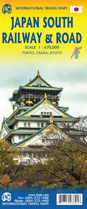
Een degelijke kaart met aanduidingen van o.a. nationale parken, vliegveld, benzinepomp, dirt-roads en kleine plattegronden van hoofdstad. Als overzichtskaart goed te gebruiken. This is a new title for ITMB. Japan divides nicely into north of Tokyo and south. This map covers the popular Tokyo to Osaka Route, and west to Hiroshima and south all the way to Kagoshima, the end of the Shinkansen rail network. Japan is seen as being a smallish country, but is densely populated, so having a map at this scale allows is to open up the information and show its many attractions more easily. The map also includes insets of the most southerly island chains of Okinawa, Senkaku and Sakishima, as wall as city insets of Kyoto, Nara and Osaka. Legend Includes: Roads by classification, Rivers and Lakes, National Park, Airports, Points of Interests, Mining, Highways, Main Roads, Zoos, Fishing, , and much more...
€13,95
Bekijk product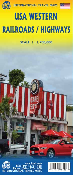
Spoorwegen kaart van het westen van de Verenigde Staten in kleur. Schaal 1:1.700.00. Toont spoorlijnen, snelwegen, secundaire wegen en andere wegen, veerboten en belangrijke scheepvaartdiensten; internationale grenzen, staatsgrenzen; bergen met de hoogte in feet. Met index van plaatsen. Afstanden in mijlen. Gedrukt op twee zijden.
€13,95
Bekijk product
Een degelijke wegenkaart met aanduidingen van o.a. nationale parken, vliegveld. Als overzichtskaart goed te gebruiken. This new version is printed on waterproof paper, more for durability than need, is double sided (south half/north half) in our traditional colours depicting elevations and showing roads, urban areas, attractions, airports, viewpoints, ferry routes, castles and everything else that visitors should want. The road information is very clearly shown, with motorways in blue, divided roads in green, major highways in orange, and secondary routes in red. The bridge from Copenhagen is shown as well as approach roads through Denmark, but only northern areas of Norway and a bit of Finland could be included in order to expand coverage to the max.
€13,95
Bekijk product

Spoorwegen kaart van het west en midden van Japan. Schaal 1:670.000. Toont spoorlijnen, snelwegen, secundaire wegen en andere wegen, veerboten en belangrijke scheepvaartdiensten; bergen met de hoogte in meters. Met index van plaatsen; Afstanden in kilometers. Gedrukt op twee zijden. Japan is too large and densely populated a country to show effectively on one map while showing all the attractions and smaller towns of the country. With this map, we are attempting to concentrate on the way the vast majority of visitors travel around Japan - by rail. The road network is still shown in excellent detail, but the rail routes that connect Tokyo to Osaka, Kyoto, and Hiroshima, and to the northern coastal cities of Nigata and Kanazawa are the way most visitors to Japan explore the country. The map also includes an excellent inset map of central Tokyo on one side and another of Osaka on the other side The map extends from Fukoka in the west to Tokyo in the east and to Sendai in the north, and includes many of the most popularly-visited cities of Japan, showing all the Shinkensen "bullet" train routes as well as the non-express regular lines. Japan has the most advanced rail network in the world, and this map captures its essence. Legend Includes: Urban Area, Lake, River, Waterfall, National Parks, Heights in meter, Volcano, Tourist Site, Buddist Temple
€13,95
Bekijk product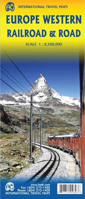
Spoorwegen kaart van West Europa in kleur. Schaal 1:2,500,000. Toont spoorlijnen, snelwegen, secundaire wegen en andere wegen, veerboten en belangrijke scheepvaartdiensten; internationale grenzen, de grenzen van de gebieden met reisbeperkingen; bergen met de hoogte in meters. Met index van plaatsen. Schaal 1:2,500,000. . Gedrukt op twee zijden. This is a new title for ITMB. It focusses on the western half of the European land mass at a much better scale than would be possible for all of Europe. Even at this scale, showing the rail lines and the major roads results in a map with a lot of information on it, but it meets the needs of those travelling around Europe by rail, which is its primary market. It can also be used by those driving, although it would be better for vehicle users to rely on individual country maps. Side 1 covers the British Isles, the Low Countries, Germany, Denmark, the Czech Republic, most of Poland, and southern Scandinavia. The second side covers the Iberian Peninsula, France, Italy, Slovenia, Croatia, Bosnia, Austria, Hungary, and the southern portion of Germany. Trains tend to be used by travellers in Europe for longer trips, say from Frankfurt to Rome, and for this reason our new map should find a good market. There has not been enough room on this map to show many touristically important sites, but where room exists, we have added UNESCO World Heritage sites, major churches, and most international airports. Coverage includes major ferry routes and includes the islands of Majorca, Menorca, Ibiza, Sardinia, Elba, and Corsica, Sicily, and Malta. As the EU evolves, passenger rail service is increasingly becoming a pan-European reality, but German trains running on French lines and Italian trains going north into Austria. This is a timely map; coming out at the beginning of a truly European rail system.
€13,95
Bekijk product