
Beantwoord enkele vragen, en binnen seconden geeft AI je een persoonlijk aankoopadvies op maat.
Beantwoord enkele vragen, en binnen seconden geeft AI je een persoonlijk aankoopadvies op maat.
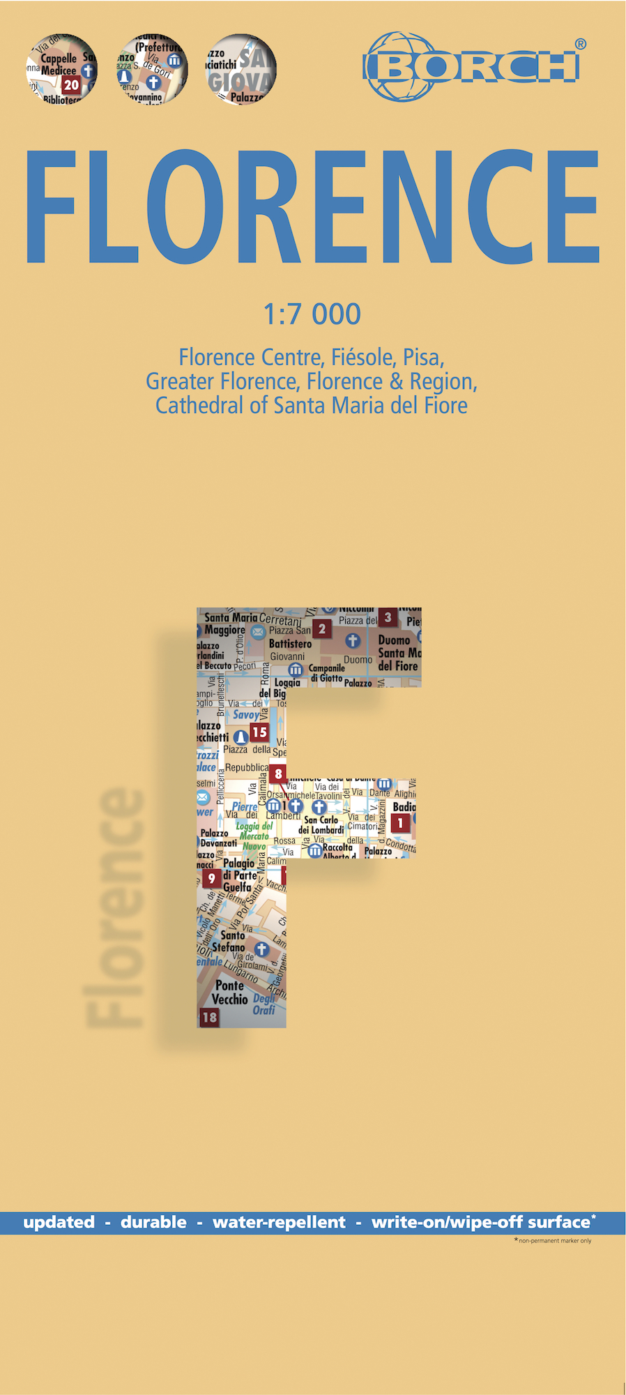
Borch Florence is een duidelijke, geplastificeerde plattegrond van het centrum met informatie over openbaar vervoer en bezienswaardigheden. Inclusief straatnamenregister. Our soft-laminated folded map of Florence shows: Florence Centre 1:7 000, Fiésole 1:12 000, Pisa 1:7 000, Florence & Environs 1:80 000, Florence & Region 1: 450 000 Cathedral of Santa Maria del Fiore 1: 1 900, Italy administrative, Top 24 Sights of Florence and 12 of Pisa. Borch maps are easy to fold, durable and water-repellent with a wipeable surface. Borch Maps show hotels, museums, monuments, markets, top sights and points of interest, useful statistics, conversion charts for temperatures, weights and measurements, climate charts showing temperatures, sunshine hours, precipitation and humidity, overview maps, time zones, and much more... Florence is famous for its unparalleled art and architecture and is known as the birthplace of the Italian Renaissance. It is the capital city of the region of Tuscany, is situated on the Arno River and is home to about 380,000 Tuscans. The historic center of Florence was declared a UNESCO World Heritage Site in 1982 and tourism is unquestionably its most important industry; the basilicas of Santa Croce, Santa Maria Novella and the Accademia and Uffizi museums are very important sights that must be seen. Between April and October locals are outnumbered by visitors from all over the world. Fashion is a major industry in Florence and the Salvatore Ferragamo empire resides here, as do subsidiaries of Gucci, Prada, Chanel and Roberto Cavalli. Food and wine have long been an important branch of the Florentine economy. Sangiovese grapes, which grow in the Chianti region (a winemaking region of world renown, south of Florence) feature prominently. A visit to beautiful Florence is simply a delight and indulgence for all the senses!
€9,95
Bekijk product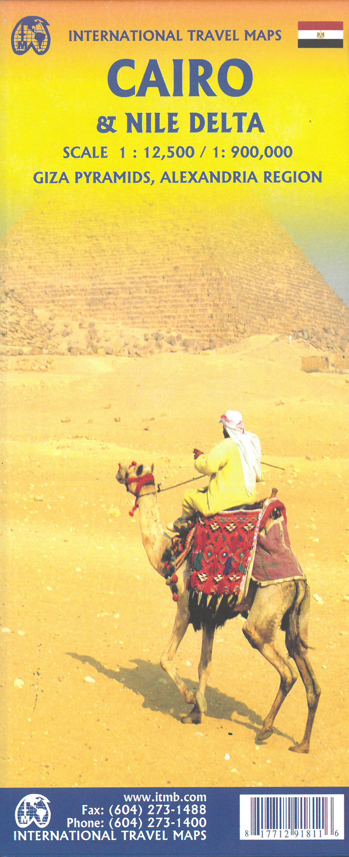
Stadsplattegrond van Cairo met stratenindex. Engelstalig.Nile Delta scale 900.000 This is a significant re-working of our Cairo map, showing a lot of infrastructure improvements and adding rapid transit lines. The real change, however, is the inclusion on the second side of a fully-detailed map of the Nile River from its wide delta to Cairo, where it narrows into the historic narrow band of green southward as far as Luxor. All known historic sites of ancient Egypt are included. The map area also includes the Suez Canal, the Gulf of Suez, and the western part of the Sinai.
€13,95
Bekijk product
Borch Las Vegas is een duidelijke, geplastificeerde plattegrond van het centrum met informatie over openbaar vervoer en bezienswaardigheden. Inclusief straatnamenregister. Our soft-laminated folded map of Las Vegas shows: Las Vegas 1:20 000, Las Vegas & Region 1:150 000, Las Vegas & National Parks 1:3 000 000, Grand Canyon National Park 1:225 000, Grand Canyon Village 1:40 000, USA administrative & time zones, Top 30 Sights. Borch Maps are easy to fold, durable and water-repellent with a wipeable surface. Borch Maps show hotels, museums, monuments, markets, public transport, top sights and points of interest, useful statistics, conversion charts for temperatures, weights and measurements, climate charts showing temperatures, sunshine hours, precipitation and humidity, overview maps, time zones, and much more... Las Vegas, literally translated as "The Meadows", is also known as "Sin City" and is the most populous city in the state of Nevada, with the largest number of hotel rooms in the U.S. Las Vegas is famous for shopping, entertainment, dining, and ... gambling! Established in 1905 as a popular railroad town, today's Las Vegas, in particular Las Vegas Boulevard South - better known as "The Strip" - is home to enormous casino resorts and world-famous shows. Despite losing its status as the world's highest grossing gambling center to Macau in 2006 and the consequences of the 2008 world finance shock surely didn't help, the combined driving forces behind its economy - tourism, gaming, conventions, and most recently technology - are steady. Its most famous casino hotels include the MGM Grand, the Bellagio and the Mirage, to name but a few. Many hotels have contributed to making The Strip more pedestrian-friendly by installing new facades and footbridges, but with an arid desert climate and temperatures of over 100F (38C) in the months of July and August, you might want to revert to a more temperate form of indoor entertainment.
€9,95
Bekijk product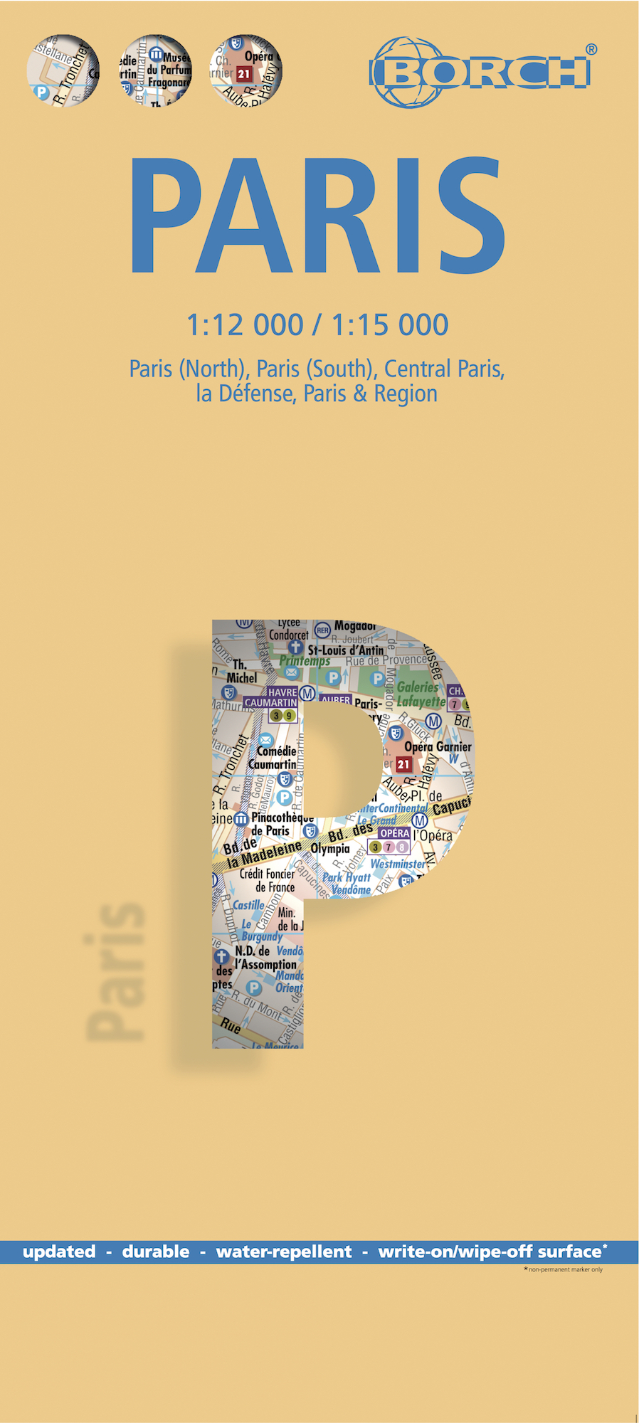
Borch Parijs is een duidelijke, geplastificeerde plattegrond van het centrum met informatie over openbaar vervoer en bezienswaardigheden. Inclusief straatnamenregister. Our soft-laminated folded map of Paris shows: Paris North 1:15 000, Paris South 1:15 000, Central Paris 1:12 000, La Defense 1:15 000, Paris & Region 1:130 000, Public Transport Paris, Top 30 Sights and France administrative. Borch Maps are easy to fold, durable and water-repellent with a wipeable surface. Borch Maps show hotels, museums, monuments, markets, public transport, top sights and points of interest, useful statistics, conversion charts for temperatures, weights and measurements, climate charts showing temperatures, sunshine hours, precipitation and humidity, overview maps, time zones, and much more... Paris is the capital city of France and French commerce, fashion, art, design and science. The "city of love" or "city of light" ("la ville lumière") is home to the Eiffel Tower, the Louvre housing Leonardo da Vinci’s famous Mona Lisa, among others, the Basilica de Sacre Coeur, Moulin Rouge, Disneyland Paris, more cafés than you can count and about 2.2 million inhabitants within the Périphérique (depicted clearly on our map). Almost 12 million live in the greater urban area. A vast array of museums, galleries, parks and gardens, restaurants and cafés, will keep you fully occupied day and night, not to mention the stunning architecture, great shopping, delicious cuisine, fascinating history and the thrill of finding yourself in the most romantic city in the world!
€9,95
Bekijk product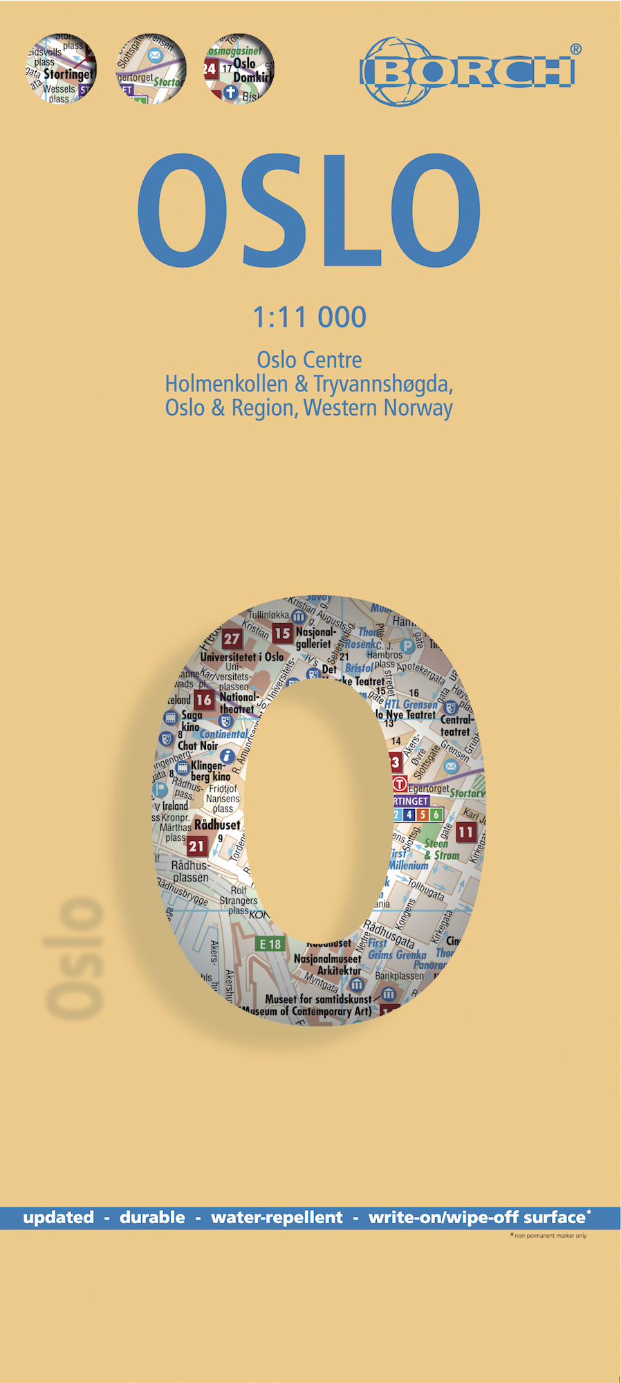
Borch Oslo is een duidelijke, geplastificeerde plattegrond van het centrum met informatie over openbaar vervoer en bezienswaardigheden. Inclusief straatnamenregister. Our soft-laminated folded map of Oslo shows: Oslo Centre 1:11 000, Holmenkollen & Tryvannshogda 1:25 000, Oslo & Region 1:200 000, Western Norway 1:800 000, Public Transport Oslo, Norway administrative & time zones, Top 30 Sights. Borch Maps show hotels, museums, monuments, markets, public transport, top sights and points of interest, useful statistics, conversion charts for temperatures, weights and measurements, climate charts showing temperatures, sunshine hours, precipitation and humidity, overview maps, time zones, and much more... The capital city of Norway was founded by King Harald III around 1048 and is located at the northern end of the Oslofjord. Today Oslo, home of the Nobel Peace Center Foundation, is the commercial, maritime, financial, governmental and cultural center of the country. It has a population of approx. 1.4 million and is the fastest growing city in Europe by population, due to immigration, while the Norwegian population of the city actually decreases annually. Due to its northern latitude, daylight hours vary greatly - from 18 daylight hours with hardly any real darkness in midsummer to 6 daylight hours in midwinter. Summers are mild to warm, quite often with heatwaves, and winters are, well, cold, with most snow falling from January to March - see our climate chart for details. Oslo has no less than 40 islands within its city limits and 343 lakes, the largest being Maridalsvannet. This friendly and safe city with its excellent public transport system, many parks, recreation areas, museums, galleries, restaurants, music and many other festivals, events and sights, is surrounded by beautiful forests, lakes and waterfalls..
€9,95
Bekijk product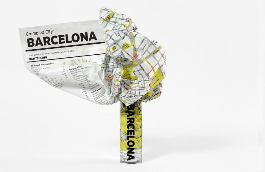
These are pretty much the coolest maps ever, unlike traditional paper maps which can be awkward to deal with, the Barcelona Crumpled City Map can be easily crammed into your pocket, backpack or the carrying pouch provided without having to worry about refolding it along the original creases. Moreover, the map is printed on special technological material that makes it the lightest and most resistant map on the market, as well as 100% waterproof. The map provides details about a large part of the city, including streets, monuments, museums, art galleries and much more, it also includes a sightseeing index and a list of unique "Soulsights". Crumple it before use! The map includes all the most important information about Barcelona as well as a list "SoulSights". It just takes 2 seconds to open and close this innovative soft map. Weighing only 20 grams, it is super resistant and 100% waterproof. The map uncrumples to around 87 x 58cm.
€14,95
Bekijk product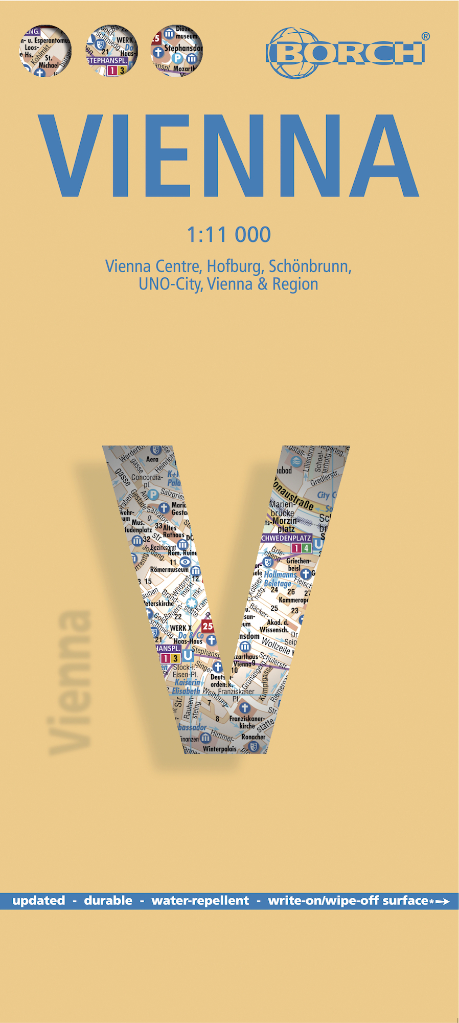
Borch Wenen is een duidelijke, geplastificeerde plattegrond van het centrum met informatie over openbaar vervoer en bezienswaardigheden. Inclusief straatnamenregister. Our soft-laminated folded map of Vienna shows: Vienna Centre 1:11 000, UNO-City 1:11 000, Schönbrunn 1:11 000, Hofburg 1: 7 000, Vienna & Region 1:100 000, Public Transport Vienna, Austria administrative and Top 30 sights. Borch Maps are easy to fold, durable and water-repellent with a wipeable surface. Borch Maps show hotels, museums, monuments, markets, public transport, top sights and points of interest, useful statistics, conversion charts for temperatures, weights and measurements, climate charts showing temperatures, sunshine hours, precipitation and humidity, overview maps, time zones, and much more... Vienna, situated in the east of Austria, is not only its largest city but also its capital in cultural, economic and political terms. Vienna boasts a high standard of living and was designated a UNESCO World Heritage site in 2001. Vienna is an important European cultural center with a vastly rich historical background, to which countless architectural masterpieces pay tribute. Vienna, seat of the former Austro-Hungarian empire, has brought forth myriad composers, scientists, doctors and inventors, all of world renown, not to mention the Viennese Waltz, incredible coffeehouses, and delectable cake! Take a break from the sightseeing to enjoy a piece of delicious "Sacher Torte" in one of the traditional Viennese cafés, just one of many culinary delights this wonderful city has to offer. Don't miss seeing the town from the seat of a traditional, horse-drawn "Fiaker" - this leisurely carriage ride through one of the prettiest and most interesting cities in Europe is a truly Viennese experience!
€9,95
Bekijk product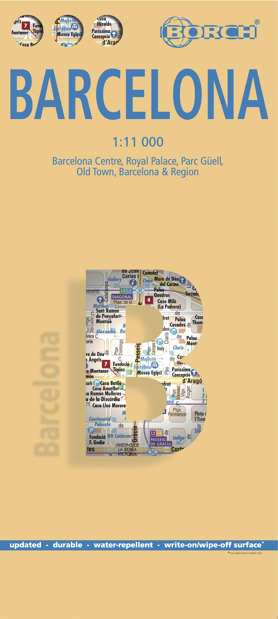
Borch Barcelona is een duidelijke, geplastificeerde plattegrond van het centrum met informatie over openbaar vervoer en bezienswaardigheden. Inclusief straatnamenregister. Our soft-laminated folded map of Barcelona shows: Barcelona Centre 1:11 000, Royal Palace 1: 11 000, Parc Güell 1:11 000, Old Town 1:5 500, Barcelona and Region 1:150 000, Public Transport Barcelona, Top 30 Sights and Spain administrative. Borch maps are easy to fold, durable and water-repellent with a wipeable surface. Borch Maps show hotels, museums, monuments, markets, top sights and points of interest, useful statistics, conversion charts for temperatures, weights and measurements, climate charts showing temperatures, sunshine hours, precipitation and humidity, overview maps, time zones, and much more... The city of Barcelona is situated on the beautiful Mediterranean coast and is bordered by the Serra de Collserola mountain ridge and the estuaries of the Llobregat and Besòs rivers. The capital city of "Catalunya" is not only an important economic and cultural center, but it is the second-largest Spanish city with the second-largest airport. Barcelona is home to the Parliament and Supreme Court of Catalonia and the Generalitat de Catalunya of the Catalan autonomous government. The city has a pleasantly mild climate with flourishing Mediterranean vegetation and enjoys a truly Mediterranean lifestyle. Among its many highlights are numerous architectural works by Antoni Gaudi and Lluis Domenech i Montaner, which are UNESCO World Heritage Sites. Enjoy delicious tapas along one of the elegant promenades, after a wonderful day of seeing the sights of this fine city.
€9,95
Bekijk product
Borch Madrid is een duidelijke, geplastificeerde plattegrond van het centrum met informatie over openbaar vervoer en bezienswaardigheden. Inclusief straatnamenregister. Our soft-laminated folded map of Madrid shows: Central Madrid 1:10 000, Madrid & Region 1:200 000, Province of Madrid 1:700 000, Toledo 1:9 000, Segovia 1:8 500, Public Transport Madrid, Spain administrative. Borch maps are easy to fold, durable and water-repellent with a wipeable surface. Borch Maps show hotels, museums, monuments, markets, public transport, top sights and points of interest, useful statistics, conversion charts for temperatures, weights and measurements, climate charts showing temperatures, sunshine hours, precipitation and humidity, overview maps, time zones, and much more... Madrid, located on the Manzanares River, is the capital and largest city of Spain and also its political and geographic center. Local residents are called Madrileños. Not only is Madrid one of the main financial centers of the Iberian Peninsula, but because of its economic, political and cultural significance it is regarded as a city of global importance. Along with London, Paris and Berlin, Madrid ranks high among the most populous cities/urban areas in the European Union. This city offers the visitor a multitude of cultural specialties: beautiful parks, historical archives in the 19th century National Library building, culinary high points, architectural highlights such as the Royal Palace or the restored 1850 opera house in the Teatro Real. Madrid's famous Prado Museum houses one of the finest art collections in the world. The museum of modern art, the Centro de Arte Reina Sofia and the Thyssen-Bornemisza Museum in the Villahermosa Palace, are also of world renown.
€9,95
Bekijk product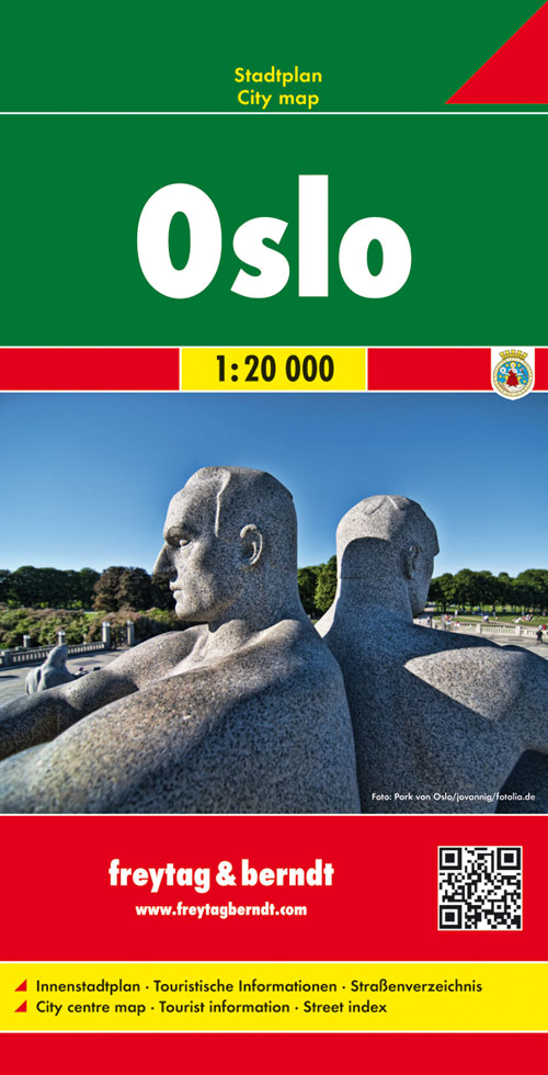
Stadsplattegrond met register. Helder kaartbeeld waarbij de naamgeving goed leesbaar is weergegeven. Met de toeristische bezienswaardigheden in symbolen weergeven: monumenten, musea, stadions e.a. Daarnaast handige zaken als postkantoren, parkeergarages en stations. Veelal ook met een openbaar vervoer of metro kaart als inzet
€13,95
Bekijk product