
Beantwoord enkele vragen, en binnen seconden geeft AI je een persoonlijk aankoopadvies op maat.
Beantwoord enkele vragen, en binnen seconden geeft AI je een persoonlijk aankoopadvies op maat.

Explore new places with dependable maps from Collins. This brand new edition retains the delightful water-colour mapping, with individual paintings of all the main sights and landmarks. This brand new edition retains the delightful water-colour mapping, with individual paintings of all the main sights and landmarks. Popular areas at larger scale, hundreds of shops, restaurants, cafés and bars, comprehensive travel information and index. This map includes: • Large-scale plans of the Castle, Royal Mile, Botanic Gardens, Leith and Newington • Shop-by-shop street maps of Princes Street, George Street, Victoria Street and the Grassmarket • Railway stations, bus routes, taxi ranks and car parks • Historical and contemporary anecdotes • Suggestions for day trips out of the city • Comprehensive index Area of coverage: Covers the centre of Edinburgh from Inverleith Park in the north to The Meadows in the south, and from the Scottish National Gallery of Modern Art in the west to the Palace of Holyroodhouse in the east. The perfect companion to Edinburgh for visitors and locals alike.
€12,50
Bekijk product
Navigate your way around Stratford-upon-Avon with detailed street maps from A-Z This up-to-date, folded A-Z street map indexes more than 550 streets in and around Stratford-upon-Avon. Coverage extends from Tiddington to Drayton, Lower Clopton to Clifford. The large scale street map includes the following: • Places of interest • One-way streets and car parks • Index to streets, places of interest, place and area names, park and ride sites, national rail stations, hospitals and hospices The perfect reference map for finding your way around Stratford-upon-Avon.
€7,95
Bekijk product

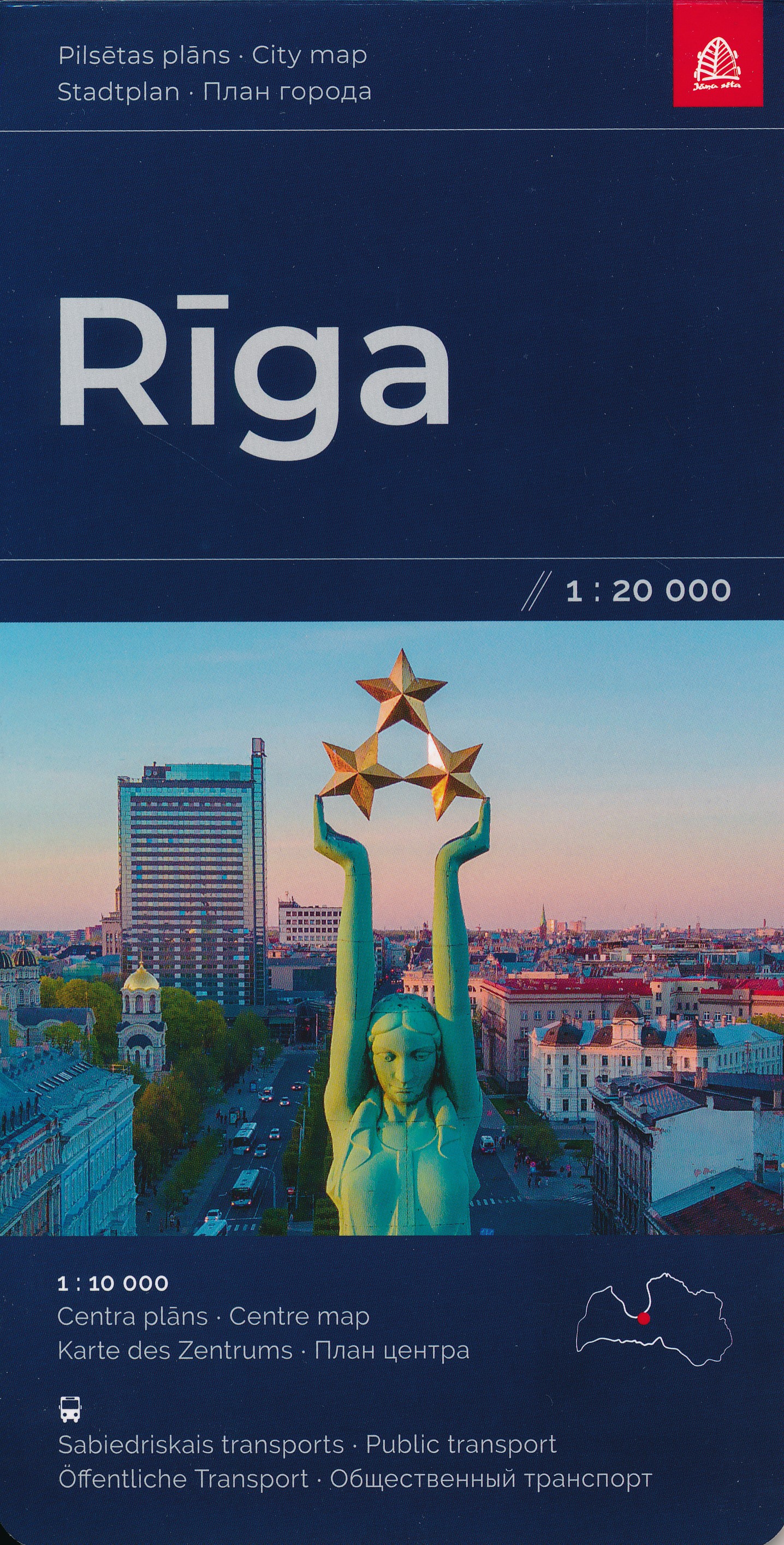
Stadsplattegrond van Riga met register en een extra inzet op schaal 1:10.000 van het centrum.
€14,95
Bekijk product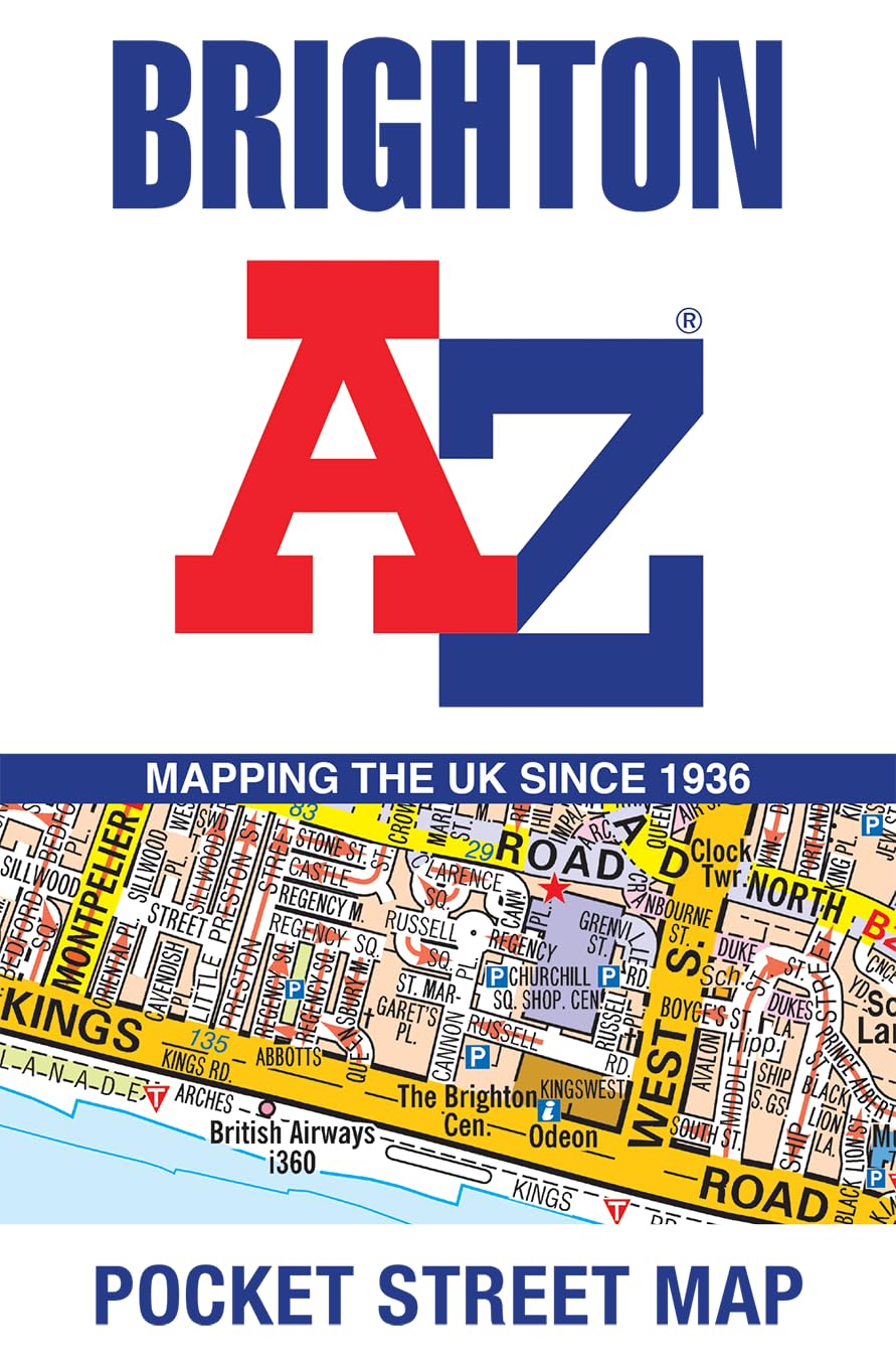
Navigate your way around Brighton with detailed street maps from A-Z This up-to-date, folded A-Z street map includes 2,600 streets in and around Brighton. As well as the seafront and Brighton Palace Pier, the other areas covered are The Lanes, Preston Park, the Artists’ Quarter, Hanover and Seven Dials. The large scale street map includes: • Places of interest • One-way streets and car parks • Index to streets, places of interest, place and area names, park and ride sites, national rail stations, hospitals and hospices The perfect reference map for finding your way around Brighton.
€7,95
Bekijk product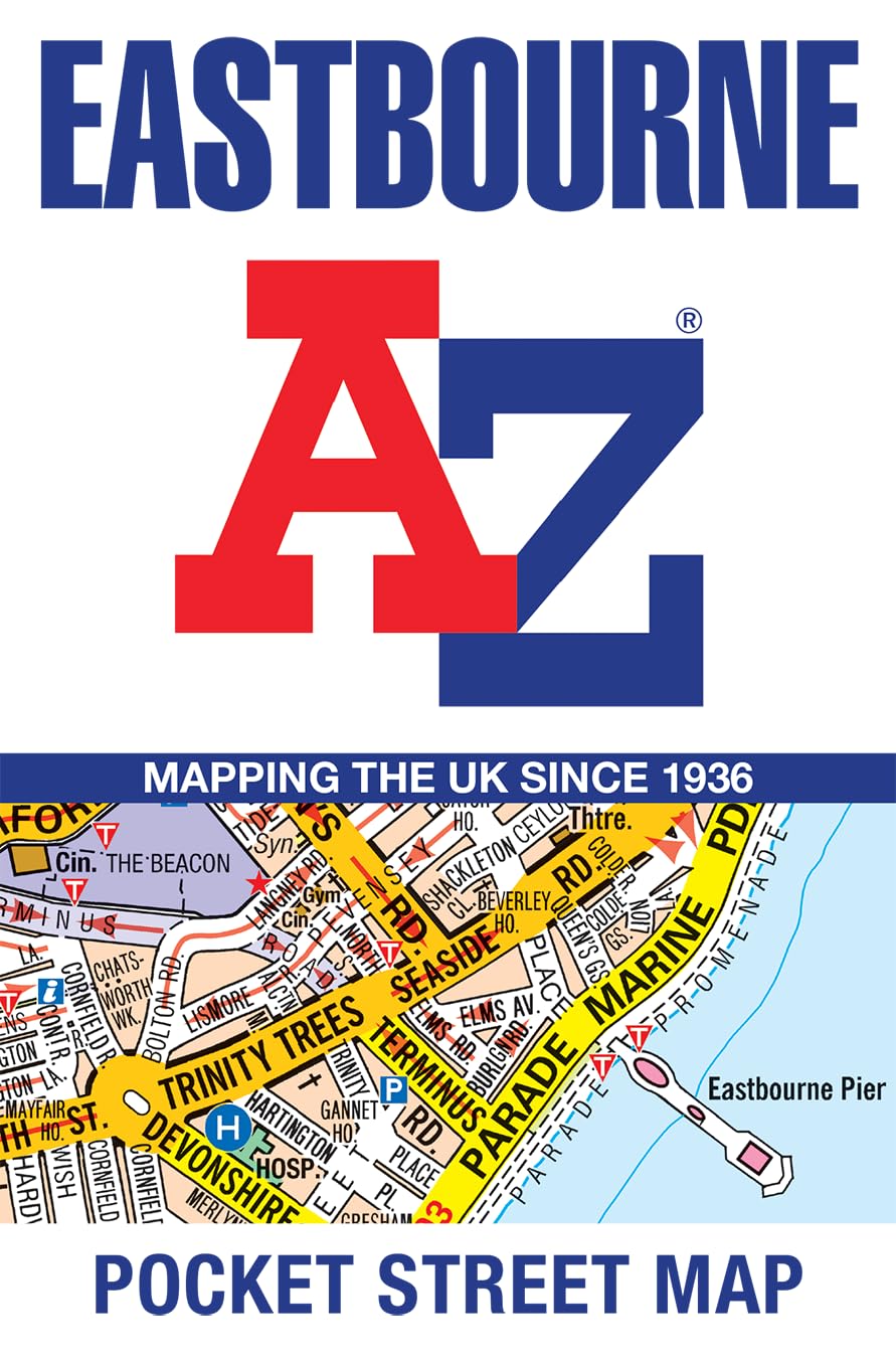
Navigate your way around Eastbourne with detailed street maps from A-Z This up-to-date, folded A-Z street map indexes more than 2,000 streets in and around Cardiff. As well as Cardiff Bay, the other areas covered are Cathays, Roath, Bute Park, and Riverside. The large scale 1 mile to 5.5 inch (1 km to 8.68 cm) street map includes the following: • Places of interest • One-way streets and car parks • Index to streets, places of interest, place and area names, park and ride sites, national rail stations, hospitals and hospices The perfect reference map for finding your way around Cardiff.
€7,95
Bekijk product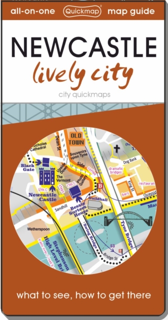
Know Newcastle like a local with area flavours. See all the attractions inside and surrounding including Durham and find easy ways to get to them without a car. Instantly understand the city on the zippy folding maps inside the discreet pocket-sized cover. This map-guide is ideal for visitors who are interested in experiencing this dynamic city.
€6,95
Bekijk product