
Beantwoord enkele vragen, en binnen seconden geeft AI je een persoonlijk aankoopadvies op maat.
Beantwoord enkele vragen, en binnen seconden geeft AI je een persoonlijk aankoopadvies op maat.
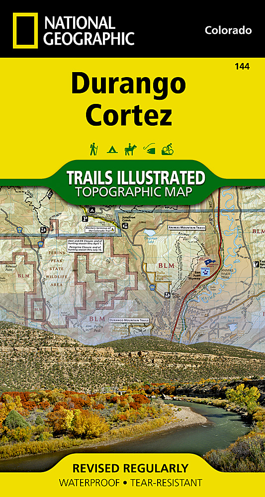
Prachtige geplastificeerde kaart van het bekende nationaal park. Met alle recreatieve voorzieningen als campsites, maar ook met topografische details en wandelroutes ed. Door uitgekiend kleurgebruik zeer prettig in gebruik. Scheur en watervast! Beautiful waterproof and tear-resistant topographical hiking map of a well-loved National Park, with campsites and walking routes clearly marked. Coverage includes San Juan National Forest. Mesa Verde National Park, McPhee Reservoir and Recreation Area, House Creek Recreation Area, Durango Mountain Ski Area, Mancos State Park. Animas River, Colorado Plateau, La Plata Mountains. Towns: Cortez, Durango, Mancos. San Juan Skyway and Trail of the Ancients Scenic Drives. Includes UTM grids for use with your GPS unit.
€17,95
Bekijk product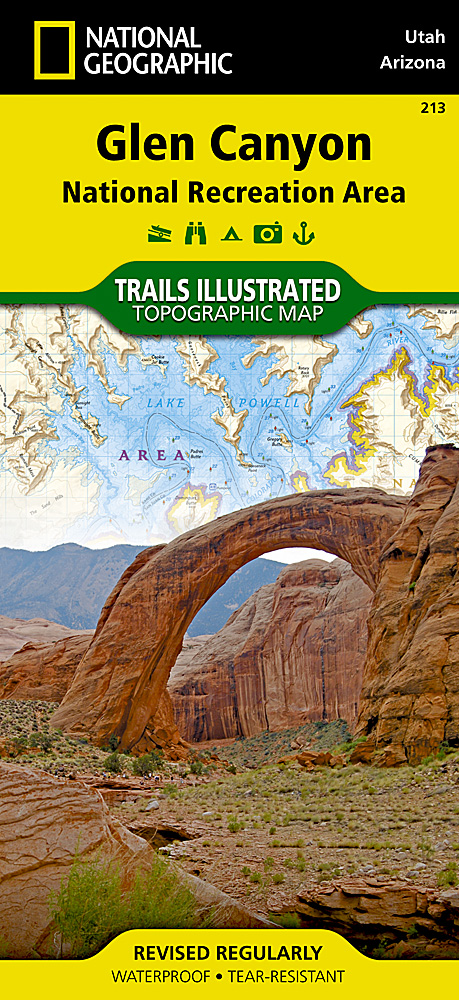
Prachtige geplastificeerde kaart van het nationaal park. Met alle recreatieve voorzieningen als campsites, maar ook met topografische details en wandelroutes ed. Door uitgekiend kleurgebruik zeer prettig in gebruik. Scheur en watervast! Our Glen Canyon NRA and Rainbow Bridge NM Trails Illustrated map provides detailed topographic coverage, trails, and locations of important recreational points of interest for outdoor enthusiasts. Inset maps for Hite, Halls Crossing, Dangling Rope, Bullfrog Bay, and Wahweap marinas and campgrounds show the location of key facilities such as boat ramps, RV campgrounds, laundry facilities, and parking. Like all Trails Illustrated maps, our Glen Canyon title is printed on durable, waterproof, tear-resistant material that will stand up to the elements. Selected locations on the map are shown with GPS waypoints for use with handheld GPS receivers.
€16,95
Bekijk product
De wandelkaart die de perfectie benadert! Werkelijk alle topografische details zijn er op te vinden; van hoogtelijnen tot aan bruggetjes en allerlei wandelpaden. Daarnaast hebben de makers een flinke dosis toeristische informatie op de kaart verwerkt: campings, gites d étape, restaurants en ingetekende doorgaande wandelpaden, de grandes randonnées. Het kleurgebruik is geweldig met schaduwzijdes, bos, weiland, etc goed te onderscheiden. De kaart is uitgevoerd met raster van graden, dus deze is GPS - toepasbaar! De TOP 25 kaarten (kaart nummers die eindigen op "T") hebben betrekking op gebieden van bijzonder toeristisch belang zoals de Alpen, de Pyreneeën,De Cevennes, de Vogezen, de Provence, en de Atlantische en Middellandse zeekusten. De kaarten hebben een opdruk en benadrukken zo de lokale wandelpaden, lange afstand GR routes en, in voorkomend geval, ski routes. Andere toeristische informatie omvat campings, paardensport of kanocentra, hutten, berghutten, etc. Elke "TOP 25" kaart bedekt een gebied van ongeveer 28 x 21 km. De rest van Frankrijk wordt in kaart gebracht met de "Série Bleu" (eindigend op O = ouest of E = est) welke geen speciale extra overdruk heeft om de wandelroutes aan te duiden. Op deze kaarten vind je dan ook geen toeristische informatie als campings en hutten; het zijn puur topografische kaarten, maar zoals gezegd bijzonder gedetailleerd. Elke "Série Bleu" kaart bedekt een gebied van ongeveer 20 x 14 km. L'indispensable carte de randonnée IGN 3715ET. D'une très grande précision elle contient tous les détails existants sur le terrain : voies de communication jusqu'au moindre sentier, constructions jusqu'au hangar, bois, arbre isolé, rivière, source... Sans oublier la représentation du relief par des courbes de niveau. Les sentiers balisés et les informations touristiques sont également représentés. Communes couvertes : Landersheim, Hengwiller, Jetterswiller, Dossenheim-Kochersberg, Wolschheim, Zilling, Bourscheid, Otterswiller, Saint-Jean-Kourtzerode, Ingenheim, Quatzenheim, Furchhausen, Haegen, Scherlenheim, Knoersheim, Neugartheim-Ittlenheim, Steinbourg, Garrebourg Lieux à découvrir : Parc naturel régional des Vosges du Nord,,Forêt Domaniale de Saverne,Langhardtkopf, Spitzberg, Grd Rosskopf, Col de Saverne, Schlosserhoehe, Rocher de Dabo, le Nutzkopf, Schlossberg, Vallée de la Zorn Dimensions : 96 cm x 132 cm
€17,95
Bekijk product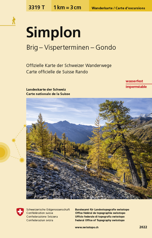
Een nieuwe serie van de Zwitserse topografische dienst, goede wandelkaarten met ingetekende wandelroutes op scheur- en watervast papier. Vooralsnog zijn ze uitgebracht van de populaire wandelgebieden en niet landelijk dekkend (zie overzicht). Op een gedetailleerde schaal van 1:33.333 met als ondergrond de onovertroffen topografische kaarten van Zwitserland zijn dit zeer bruikbare kaarten. Alle noodzakelijke topografische informatie, met ingetekende wandelroutes en bijvoorbeeld de locatie van berghutten. Ook zijn ze voorzien van een UTM grid en hoogtelijnen en daardoor bruikbaar in combinatie met een GPS. Steden/dorpen/gebieden/bergen/dalen/rivieren/meren: Brig, Naters, Glis, Saas-Fee, Saas-Grund, Saas-Almagell, Saas-Balen, Gondo, Simplon-Dorf, Visperterminen, Fletschhorn, Monte Leone, Pizzo Montalto, Bättlihorn, Weismies, Simplonpass
€14,95
Bekijk product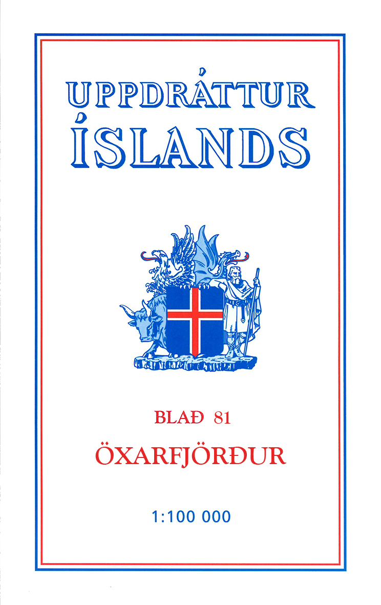
Deze kaarten zijn niet direkt op voorraad. De levertijd is echter normaal gesproken slechts enkele dagen. Niet alle kaarten van deze serie zijn op dit moment beschikbaar. De kaarten die u niet kunt vinden vanuit het overzicht zijn niet leverbaar. Deze serie topografische kaarten van IJsland zijn goed gedetailleerd. Alle topografische details zijn er op terug te vinden. Dat de kaarteserie al uit de jaren 80 stamt, is voor IJsland niet zo'n probleem: er verandert niet zo veel. One of the maps in the topographic survey of Iceland at 1:100,000. The series was last revised in the early eighties. Contour interval is 20 meters. In addition to the usual features shown on survey mapping, the maps also include a large amount of information indicating the type of the terrain and land use (block or smooth surfaced lava, clay, boulders, sand and dunes, cultivated area, meadows, pastures, bogs, wetlands, etc.) and details not often found on maps: physicians' residences, parsonages, etc. Each map covers an area of 44 x 40 km / 27 x 25 miles. Margin ticks give latitude and longitude in steps of 6'. Map legend includes English.
€24,95
Bekijk product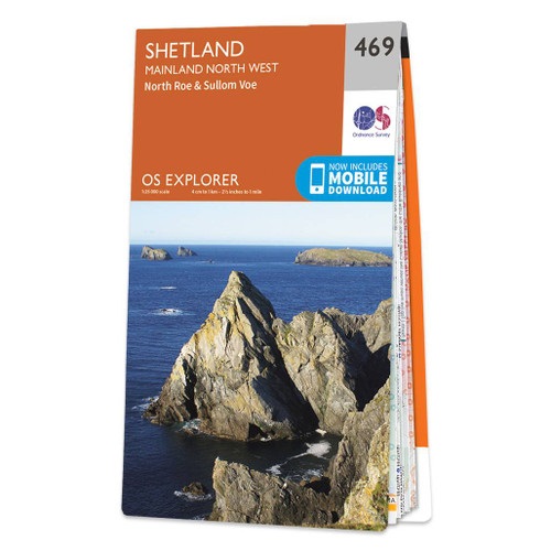
Met zijn 4cm voor 1 km (2 ½ cm voor 1 mijl) schaal, is de OS Explorer kaartenserie de ideale en meest gedetailleerde kaartenreeks voor mensen die graag outdoor-activiteiten zoals fietsen, wandelen, paardrijden, klimmen en watersporten. Deze kaart is nog gedetailleerder dan de 'gewone' Landranger maps. Voor- en achterzijde bedrukt! Zeker op de moors en andere natuurgebieden van onschatbare waarden met echt alle aspecten van het landschap op de kaart ingetekend. Zeer goede detailkaart met topografische ondergrond. Hierop zijn toeristische symbolen van bezienswaardigheden ingetekend, daarnaast staan bijvoorbeeld campings en jeugdherbergen vermeld en - voor wandelaars het belangrijkst - alle right of way paden en Lange afstands Wandelpaden zijn er op te vinden. De ideale kaart voor het wandelen in Engeland, Wales of Schotland. These highly detailed maps show all the administrative boundaries, settlements as small as isolated farms, the road network down to unfenced roads and country tracks, and field boundaries (hedges and drystone walls) which make navigation across the countryside much easier. Steep gradients on roads are indicated. Various landmarks, e.g. powerlines, archaeological sites, windmills, churches and lighthouses are shown and additional graphics indicate natural terrain features such as cliffs, scree, mud and vegetation variations. The contour interval is 5 metres in the lower parts of the country and 10 metres in the uplands, and spot heights are marked. Each map covers an area of 30 x 20km (i.e. approx. 19 x 12 miles), with some double-sided maps covering more, as indicated in the individual descriptions. The maps are fully GPS compatible, with the National Grid shown at 1km intervals and latitude and longitude indicated by margin ticks at 1'. The Explorer series has replaced the earlier, green-cover Pathfinder maps. The Explorer series is now complete and covers all of England, Wales & Scotland. Some sheets for popular areas like the National Parks are still branded as Outdoor Leisure (OL) maps, but are now included in this series as the cartography is the same as that in the Explorer Maps. The Explorer maps offer a substantial improvement on the Pathfinder series, with greater use of colour, larger area per map, and stronger emphasis on information for ramblers and tourists. This series is ideal for walking and other outdoor pursuits and each map shows a large amount of information for ramblers and tourists. Public rights of way are shown (except in Scotland), together with other routes with public access: National Trails and Recreational Paths, permitted paths and bridleways, and selected cycle routes. Open access land created under the Countryside and Rights of Way Act 2000 is marked. Tourist information includes caravan and camp sites, Park & Ride locations, recreation/leisure/sport centres, museums, historic buildings, English Heritage and National Trust sites, rural pubs, etc. The map legend is in English only, except for the tourist information content which is also in French and German
€19,50
Bekijk product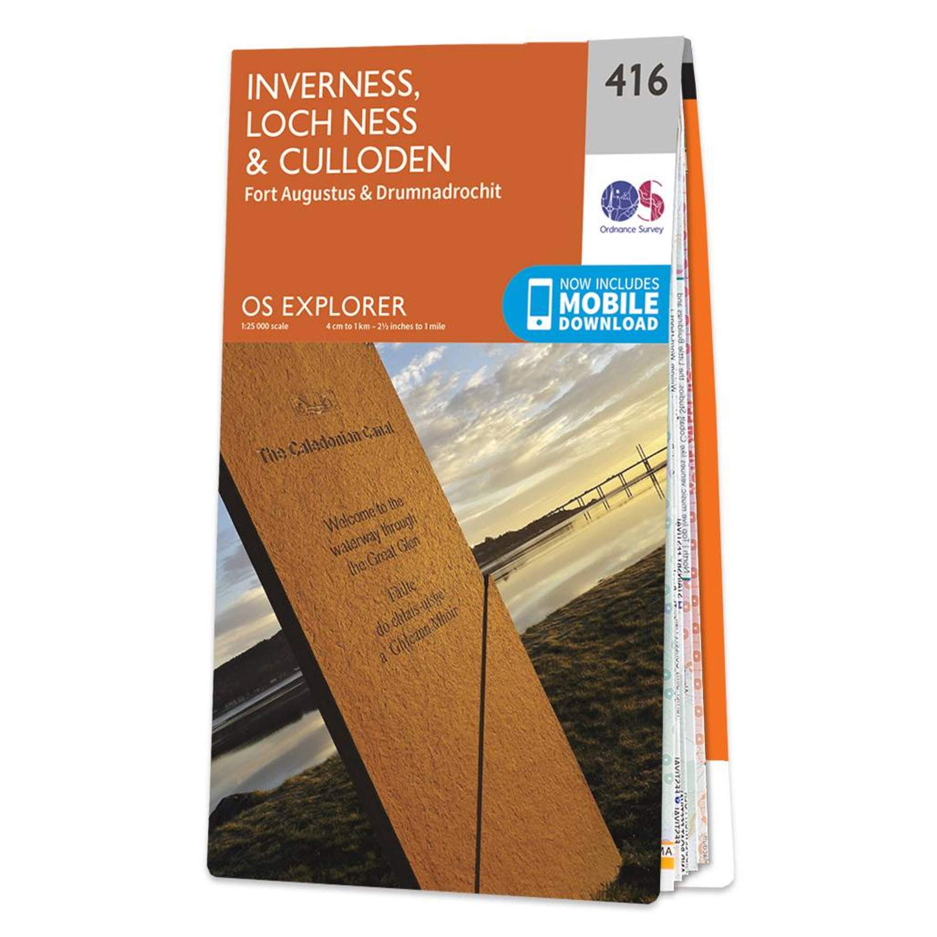
Met zijn 4cm voor 1 km (2 ½ cm voor 1 mijl) schaal, is de OS Explorer kaartenserie de ideale en meest gedetailleerde kaartenreeks voor mensen die graag outdoor-activiteiten zoals fietsen, wandelen, paardrijden, klimmen en watersporten. Deze kaart is nog gedetailleerder dan de 'gewone' Landranger maps. Voor- en achterzijde bedrukt! Zeker op de moors en andere natuurgebieden van onschatbare waarden met echt alle aspecten van het landschap op de kaart ingetekend. Zeer goede detailkaart met topografische ondergrond. Hierop zijn toeristische symbolen van bezienswaardigheden ingetekend, daarnaast staan bijvoorbeeld campings en jeugdherbergen vermeld en - voor wandelaars het belangrijkst - alle right of way paden en Lange afstands Wandelpaden zijn er op te vinden. De ideale kaart voor het wandelen in Engeland, Wales of Schotland. These highly detailed maps show all the administrative boundaries, settlements as small as isolated farms, the road network down to unfenced roads and country tracks, and field boundaries (hedges and drystone walls) which make navigation across the countryside much easier. Steep gradients on roads are indicated. Various landmarks, e.g. powerlines, archaeological sites, windmills, churches and lighthouses are shown and additional graphics indicate natural terrain features such as cliffs, scree, mud and vegetation variations. The contour interval is 5 metres in the lower parts of the country and 10 metres in the uplands, and spot heights are marked. Each map covers an area of 30 x 20km (i.e. approx. 19 x 12 miles), with some double-sided maps covering more, as indicated in the individual descriptions. The maps are fully GPS compatible, with the National Grid shown at 1km intervals and latitude and longitude indicated by margin ticks at 1'. The Explorer series has replaced the earlier, green-cover Pathfinder maps. The Explorer series is now complete and covers all of England, Wales & Scotland. Some sheets for popular areas like the National Parks are still branded as Outdoor Leisure (OL) maps, but are now included in this series as the cartography is the same as that in the Explorer Maps. The Explorer maps offer a substantial improvement on the Pathfinder series, with greater use of colour, larger area per map, and stronger emphasis on information for ramblers and tourists. This series is ideal for walking and other outdoor pursuits and each map shows a large amount of information for ramblers and tourists. Public rights of way are shown (except in Scotland), together with other routes with public access: National Trails and Recreational Paths, permitted paths and bridleways, and selected cycle routes. Open access land created under the Countryside and Rights of Way Act 2000 is marked. Tourist information includes caravan and camp sites, Park & Ride locations, recreation/leisure/sport centres, museums, historic buildings, English Heritage and National Trust sites, rural pubs, etc. The map legend is in English only, except for the tourist information content which is also in French and German
€19,50
Bekijk product