Beantwoord enkele vragen, en binnen seconden geeft AI je een persoonlijk aankoopadvies op maat.
Beantwoord enkele vragen, en binnen seconden geeft AI je een persoonlijk aankoopadvies op maat.
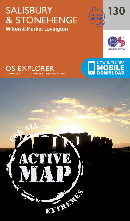
Met zijn 4cm voor 1 km (2 ½ cm voor 1 mijl) schaal, is de OS Explorer kaartenserie de ideale en meest gedetailleerde kaartenreeks voor mensen die graag outdoor-activiteiten zoals fietsen, wandelen, paardrijden, klimmen en watersporten. Deze kaart is nog gedetailleerder dan de 'gewone' Landranger maps. Voor- en achterzijde bedrukt! Zeker op de moors en andere natuurgebieden van onschatbare waarden met echt alle aspecten van het landschap op de kaart ingetekend. Zeer goede detailkaart met topografische ondergrond. Hierop zijn toeristische symbolen van bezienswaardigheden ingetekend, daarnaast staan bijvoorbeeld campings en jeugdherbergen vermeld en - voor wandelaars het belangrijkst - alle right of way paden en Lange afstands Wandelpaden zijn er op te vinden. De ideale kaart voor het wandelen in Engeland, Wales of Schotland. These highly detailed maps show all the administrative boundaries, settlements as small as isolated farms, the road network down to unfenced roads and country tracks, and field boundaries (hedges and drystone walls) which make navigation across the countryside much easier. Steep gradients on roads are indicated. Various landmarks, e.g. powerlines, archaeological sites, windmills, churches and lighthouses are shown and additional graphics indicate natural terrain features such as cliffs, scree, mud and vegetation variations. The contour interval is 5 metres in the lower parts of the country and 10 metres in the uplands, and spot heights are marked. Each map covers an area of 30 x 20km (i.e. approx. 19 x 12 miles), with some double-sided maps covering more, as indicated in the individual descriptions. The maps are fully GPS compatible, with the National Grid shown at 1km intervals and latitude and longitude indicated by margin ticks at 1'. The Explorer series has replaced the earlier, green-cover Pathfinder maps. The Explorer series is now complete and covers all of England, Wales & Scotland. Some sheets for popular areas like the National Parks are still branded as Outdoor Leisure (OL) maps, but are now included in this series as the cartography is the same as that in the Explorer Maps. The Explorer maps offer a substantial improvement on the Pathfinder series, with greater use of colour, larger area per map, and stronger emphasis on information for ramblers and tourists. This series is ideal for walking and other outdoor pursuits and each map shows a large amount of information for ramblers and tourists. Public rights of way are shown (except in Scotland), together with other routes with public access: National Trails and Recreational Paths, permitted paths and bridleways, and selected cycle routes. Open access land created under the Countryside and Rights of Way Act 2000 is marked. Tourist information includes caravan and camp sites, Park & Ride locations, recreation/leisure/sport centres, museums, historic buildings, English Heritage and National Trust sites, rural pubs, etc. The map legend is in English only, except for the tourist information content which is also in French and German
€25,95
Bekijk product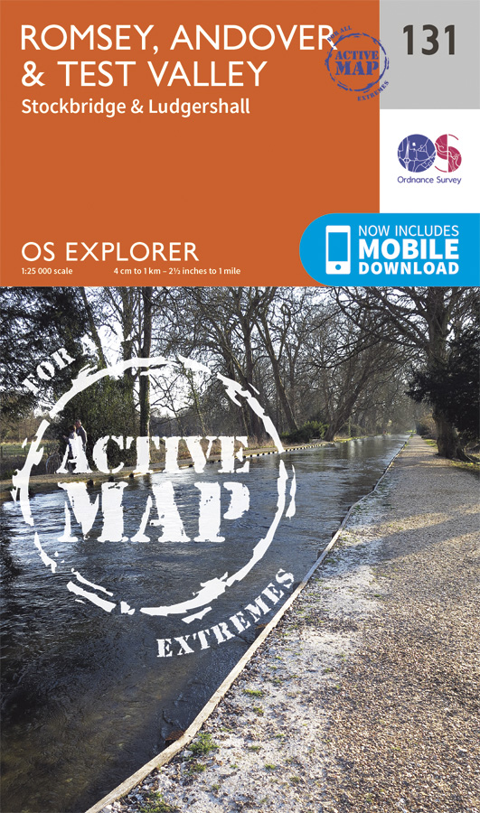
Met zijn 4cm voor 1 km (2 ½ cm voor 1 mijl) schaal, is de OS Explorer kaartenserie de ideale en meest gedetailleerde kaartenreeks voor mensen die graag outdoor-activiteiten zoals fietsen, wandelen, paardrijden, klimmen en watersporten. Deze kaart is nog gedetailleerder dan de 'gewone' Landranger maps. Voor- en achterzijde bedrukt! Zeker op de moors en andere natuurgebieden van onschatbare waarden met echt alle aspecten van het landschap op de kaart ingetekend. Zeer goede detailkaart met topografische ondergrond. Hierop zijn toeristische symbolen van bezienswaardigheden ingetekend, daarnaast staan bijvoorbeeld campings en jeugdherbergen vermeld en - voor wandelaars het belangrijkst - alle right of way paden en Lange afstands Wandelpaden zijn er op te vinden. De ideale kaart voor het wandelen in Engeland, Wales of Schotland. These highly detailed maps show all the administrative boundaries, settlements as small as isolated farms, the road network down to unfenced roads and country tracks, and field boundaries (hedges and drystone walls) which make navigation across the countryside much easier. Steep gradients on roads are indicated. Various landmarks, e.g. powerlines, archaeological sites, windmills, churches and lighthouses are shown and additional graphics indicate natural terrain features such as cliffs, scree, mud and vegetation variations. The contour interval is 5 metres in the lower parts of the country and 10 metres in the uplands, and spot heights are marked. Each map covers an area of 30 x 20km (i.e. approx. 19 x 12 miles), with some double-sided maps covering more, as indicated in the individual descriptions. The maps are fully GPS compatible, with the National Grid shown at 1km intervals and latitude and longitude indicated by margin ticks at 1'. The Explorer series has replaced the earlier, green-cover Pathfinder maps. The Explorer series is now complete and covers all of England, Wales & Scotland. Some sheets for popular areas like the National Parks are still branded as Outdoor Leisure (OL) maps, but are now included in this series as the cartography is the same as that in the Explorer Maps. The Explorer maps offer a substantial improvement on the Pathfinder series, with greater use of colour, larger area per map, and stronger emphasis on information for ramblers and tourists. This series is ideal for walking and other outdoor pursuits and each map shows a large amount of information for ramblers and tourists. Public rights of way are shown (except in Scotland), together with other routes with public access: National Trails and Recreational Paths, permitted paths and bridleways, and selected cycle routes. Open access land created under the Countryside and Rights of Way Act 2000 is marked. Tourist information includes caravan and camp sites, Park & Ride locations, recreation/leisure/sport centres, museums, historic buildings, English Heritage and National Trust sites, rural pubs, etc. The map legend is in English only, except for the tourist information content which is also in French and German.
€25,95
Bekijk product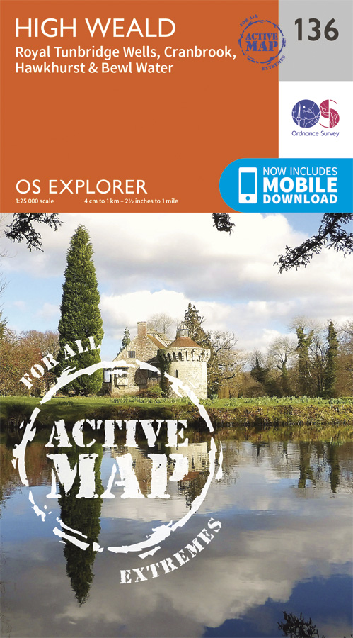
Met zijn 4cm voor 1 km (2 ½ cm voor 1 mijl) schaal, is de OS Explorer kaartenserie de ideale en meest gedetailleerde kaartenreeks voor mensen die graag outdoor-activiteiten zoals fietsen, wandelen, paardrijden, klimmen en watersporten. Deze kaart is nog gedetailleerder dan de 'gewone' Landranger maps. Voor- en achterzijde bedrukt! Zeker op de moors en andere natuurgebieden van onschatbare waarden met echt alle aspecten van het landschap op de kaart ingetekend. Zeer goede detailkaart met topografische ondergrond. Hierop zijn toeristische symbolen van bezienswaardigheden ingetekend, daarnaast staan bijvoorbeeld campings en jeugdherbergen vermeld en - voor wandelaars het belangrijkst - alle right of way paden en Lange afstands Wandelpaden zijn er op te vinden. De ideale kaart voor het wandelen in Engeland, Wales of Schotland. These highly detailed maps show all the administrative boundaries, settlements as small as isolated farms, the road network down to unfenced roads and country tracks, and field boundaries (hedges and drystone walls) which make navigation across the countryside much easier. Steep gradients on roads are indicated. Various landmarks, e.g. powerlines, archaeological sites, windmills, churches and lighthouses are shown and additional graphics indicate natural terrain features such as cliffs, scree, mud and vegetation variations. The contour interval is 5 metres in the lower parts of the country and 10 metres in the uplands, and spot heights are marked. Each map covers an area of 30 x 20km (i.e. approx. 19 x 12 miles), with some double-sided maps covering more, as indicated in the individual descriptions. The maps are fully GPS compatible, with the National Grid shown at 1km intervals and latitude and longitude indicated by margin ticks at 1'. The Explorer series has replaced the earlier, green-cover Pathfinder maps. The Explorer series is now complete and covers all of England, Wales & Scotland. Some sheets for popular areas like the National Parks are still branded as Outdoor Leisure (OL) maps, but are now included in this series as the cartography is the same as that in the Explorer Maps. The Explorer maps offer a substantial improvement on the Pathfinder series, with greater use of colour, larger area per map, and stronger emphasis on information for ramblers and tourists. This series is ideal for walking and other outdoor pursuits and each map shows a large amount of information for ramblers and tourists. Public rights of way are shown (except in Scotland), together with other routes with public access: National Trails and Recreational Paths, permitted paths and bridleways, and selected cycle routes. Open access land created under the Countryside and Rights of Way Act 2000 is marked. Tourist information includes caravan and camp sites, Park & Ride locations, recreation/leisure/sport centres, museums, historic buildings, English Heritage and National Trust sites, rural pubs, etc. The map legend is in English only, except for the tourist information content which is also in French and German
€25,95
Bekijk product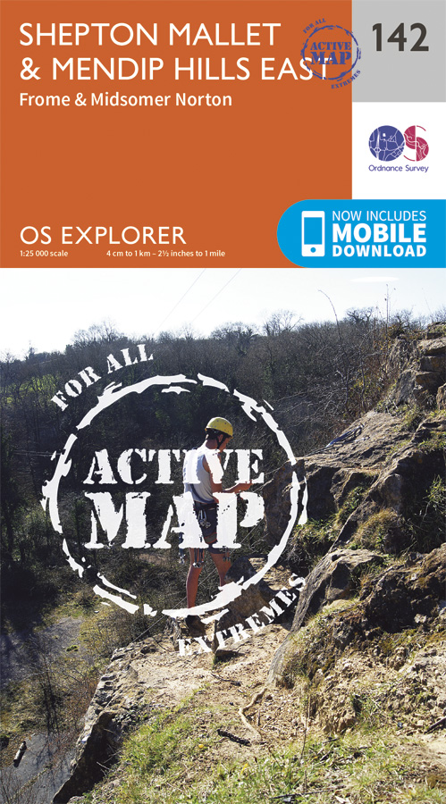
Met zijn 4cm voor 1 km (2 ½ cm voor 1 mijl) schaal, is de OS Explorer kaartenserie de ideale en meest gedetailleerde kaartenreeks voor mensen die graag outdoor-activiteiten zoals fietsen, wandelen, paardrijden, klimmen en watersporten. Deze kaart is nog gedetailleerder dan de 'gewone' Landranger maps. Voor- en achterzijde bedrukt! Zeker op de moors en andere natuurgebieden van onschatbare waarden met echt alle aspecten van het landschap op de kaart ingetekend. Zeer goede detailkaart met topografische ondergrond. Hierop zijn toeristische symbolen van bezienswaardigheden ingetekend, daarnaast staan bijvoorbeeld campings en jeugdherbergen vermeld en - voor wandelaars het belangrijkst - alle right of way paden en Lange afstands Wandelpaden zijn er op te vinden. De ideale kaart voor het wandelen in Engeland, Wales of Schotland. These highly detailed maps show all the administrative boundaries, settlements as small as isolated farms, the road network down to unfenced roads and country tracks, and field boundaries (hedges and drystone walls) which make navigation across the countryside much easier. Steep gradients on roads are indicated. Various landmarks, e.g. powerlines, archaeological sites, windmills, churches and lighthouses are shown and additional graphics indicate natural terrain features such as cliffs, scree, mud and vegetation variations. The contour interval is 5 metres in the lower parts of the country and 10 metres in the uplands, and spot heights are marked. Each map covers an area of 30 x 20km (i.e. approx. 19 x 12 miles), with some double-sided maps covering more, as indicated in the individual descriptions. The maps are fully GPS compatible, with the National Grid shown at 1km intervals and latitude and longitude indicated by margin ticks at 1'. The Explorer series has replaced the earlier, green-cover Pathfinder maps. The Explorer series is now complete and covers all of England, Wales & Scotland. Some sheets for popular areas like the National Parks are still branded as Outdoor Leisure (OL) maps, but are now included in this series as the cartography is the same as that in the Explorer Maps. The Explorer maps offer a substantial improvement on the Pathfinder series, with greater use of colour, larger area per map, and stronger emphasis on information for ramblers and tourists. This series is ideal for walking and other outdoor pursuits and each map shows a large amount of information for ramblers and tourists. Public rights of way are shown (except in Scotland), together with other routes with public access: National Trails and Recreational Paths, permitted paths and bridleways, and selected cycle routes. Open access land created under the Countryside and Rights of Way Act 2000 is marked. Tourist information includes caravan and camp sites, Park & Ride locations, recreation/leisure/sport centres, museums, historic buildings, English Heritage and National Trust sites, rural pubs, etc. The map legend is in English only, except for the tourist information content which is also in French and German.
€25,95
Bekijk product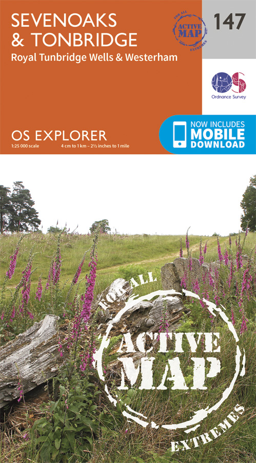
Met zijn 4cm voor 1 km (2 ½ cm voor 1 mijl) schaal, is de OS Explorer kaartenserie de ideale en meest gedetailleerde kaartenreeks voor mensen die graag outdoor-activiteiten zoals fietsen, wandelen, paardrijden, klimmen en watersporten. Deze kaart is nog gedetailleerder dan de 'gewone' Landranger maps. Voor- en achterzijde bedrukt! Zeker op de moors en andere natuurgebieden van onschatbare waarden met echt alle aspecten van het landschap op de kaart ingetekend. Zeer goede detailkaart met topografische ondergrond. Hierop zijn toeristische symbolen van bezienswaardigheden ingetekend, daarnaast staan bijvoorbeeld campings en jeugdherbergen vermeld en - voor wandelaars het belangrijkst - alle right of way paden en Lange afstands Wandelpaden zijn er op te vinden. De ideale kaart voor het wandelen in Engeland, Wales of Schotland. These highly detailed maps show all the administrative boundaries, settlements as small as isolated farms, the road network down to unfenced roads and country tracks, and field boundaries (hedges and drystone walls) which make navigation across the countryside much easier. Steep gradients on roads are indicated. Various landmarks, e.g. powerlines, archaeological sites, windmills, churches and lighthouses are shown and additional graphics indicate natural terrain features such as cliffs, scree, mud and vegetation variations. The contour interval is 5 metres in the lower parts of the country and 10 metres in the uplands, and spot heights are marked. Each map covers an area of 30 x 20km (i.e. approx. 19 x 12 miles), with some double-sided maps covering more, as indicated in the individual descriptions. The maps are fully GPS compatible, with the National Grid shown at 1km intervals and latitude and longitude indicated by margin ticks at 1'. The Explorer series has replaced the earlier, green-cover Pathfinder maps. The Explorer series is now complete and covers all of England, Wales & Scotland. Some sheets for popular areas like the National Parks are still branded as Outdoor Leisure (OL) maps, but are now included in this series as the cartography is the same as that in the Explorer Maps. The Explorer maps offer a substantial improvement on the Pathfinder series, with greater use of colour, larger area per map, and stronger emphasis on information for ramblers and tourists. This series is ideal for walking and other outdoor pursuits and each map shows a large amount of information for ramblers and tourists. Public rights of way are shown (except in Scotland), together with other routes with public access: National Trails and Recreational Paths, permitted paths and bridleways, and selected cycle routes. Open access land created under the Countryside and Rights of Way Act 2000 is marked. Tourist information includes caravan and camp sites, Park & Ride locations, recreation/leisure/sport centres, museums, historic buildings, English Heritage and National Trust sites, rural pubs, etc. The map legend is in English only, except for the tourist information content which is also in French and German Locations,Ash cum Ridley,Bidborough, Biggin Hill, Borough Green, Brasted, Bromley, Bromley Common and Keston, Cage Green, Castle, Chelsfield and Goddington, Chelsham and Farleigh, Chevening, Chiddingstone, Crofton, Culverden, Darwin, Dormans, Dunton Green, East Grinstead North, Edenbridge, Eynsford, Farnborough, Farningham, Hadlow, Halstead, Knockholt and Badgers Mount, Higham, Hildenborough, Ightham, Judd, Kemsing, Knockholt, Leigh, Limpsfield, Lingfield and Dormansland, Medway, Otford, Otford Kemsing, Oxted South, Pantiles, Park, Pembury, Penshurst, Platt, Plaxtol, Royal Tunbridge Wells, Rusthall, Sevenoaks, Sevenoaks Weald and Underriver, Sherwood, Shipbourne, Shoreham, Southborough, Speldhurst, Speldhurst and Bidborough, St. James, St. Johns, St. Marks, Stansted, Sundridge, Tatsfield, Titsey, Tonbridge, Tonbridge and Malling, Trench, Vauxhall, West Kingsdown, Westerham, Wrotham, North Downs Way, Eden Valley walk, E2, Medway, Eden, Bough Beech Reservoir, Kent Downs, High Weald, Surrey Hills, Kent, Middlesex, ,
€25,95
Bekijk product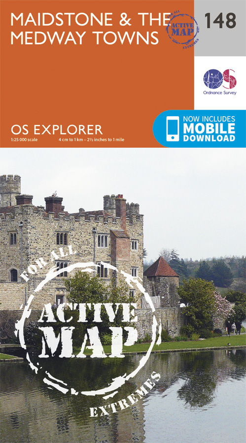
Walk a beautiful stretch of the North Downs Way offering spectacular views of the Kent Downs, Medway Valley and towards the Channel. Discover Kentish villages with their distinctive oast-house chimneys, vineyards on sunny slopes and romantic ruins as you head towards Rochester and its imposing castle guarding the road to London. Visit the Historic Dockyard Chatham, a beautifully-preserved relic of the Age of Sail home to three historic warships and much more Travel back in time at Leeds Castle near Maidstone, described as ‘the loveliest castle in the world’, or even further back at the megalithic dolmen known as Kit’s Coty Walk, hike or cycle along the North Downs Way and other recreational maps including the Medway Valley Walk and Wealdway Met zijn 4cm voor 1 km (2 ½ cm voor 1 mijl) schaal, is de OS Explorer kaartenserie de ideale en meest gedetailleerde kaartenreeks voor mensen die graag outdoor-activiteiten zoals fietsen, wandelen, paardrijden, klimmen en watersporten. Deze kaart is nog gedetailleerder dan de 'gewone' Landranger maps. Voor- en achterzijde bedrukt! Zeker op de moors en andere natuurgebieden van onschatbare waarden met echt alle aspecten van het landschap op de kaart ingetekend. Zeer goede detailkaart met topografische ondergrond. Hierop zijn toeristische symbolen van bezienswaardigheden ingetekend, daarnaast staan bijvoorbeeld campings en jeugdherbergen vermeld en - voor wandelaars het belangrijkst - alle right of way paden en Lange afstands Wandelpaden zijn er op te vinden. De ideale kaart voor het wandelen in Engeland, Wales of Schotland. These highly detailed maps show all the administrative boundaries, settlements as small as isolated farms, the road network down to unfenced roads and country tracks, and field boundaries (hedges and drystone walls) which make navigation across the countryside much easier. Steep gradients on roads are indicated. Various landmarks, e.g. powerlines, archaeological sites, windmills, churches and lighthouses are shown and additional graphics indicate natural terrain features such as cliffs, scree, mud and vegetation variations. The contour interval is 5 metres in the lower parts of the country and 10 metres in the uplands, and spot heights are marked. Each map covers an area of 30 x 20km (i.e. approx. 19 x 12 miles), with some double-sided maps covering more, as indicated in the individual descriptions. The maps are fully GPS compatible, with the National Grid shown at 1km intervals and latitude and longitude indicated by margin ticks at 1'. The Explorer series has replaced the earlier, green-cover Pathfinder maps. The Explorer series is now complete and covers all of England, Wales & Scotland. Some sheets for popular areas like the National Parks are still branded as Outdoor Leisure (OL) maps, but are now included in this series as the cartography is the same as that in the Explorer Maps. The Explorer maps offer a substantial improvement on the Pathfinder series, with greater use of colour, larger area per map, and stronger emphasis on information for ramblers and tourists. This series is ideal for walking and other outdoor pursuits and each map shows a large amount of information for ramblers and tourists. Public rights of way are shown (except in Scotland), together with other routes with public access: National Trails and Recreational Paths, permitted paths and bridleways, and selected cycle routes. Open access land created under the Countryside and Rights of Way Act 2000 is marked. Tourist information includes caravan and camp sites, Park & Ride locations, recreation/leisure/sport centres, museums, historic buildings, English Heritage and National Trust sites, rural pubs, etc. The map legend is in English only, except for the tourist information content which is also in French and German
€25,95
Bekijk product
Met zijn 4cm voor 1 km (2 ½ cm voor 1 mijl) schaal, is de OS Explorer kaartenserie de ideale en meest gedetailleerde kaartenreeks voor mensen die graag outdoor-activiteiten zoals fietsen, wandelen, paardrijden, klimmen en watersporten. Deze kaart is nog gedetailleerder dan de 'gewone' Landranger maps. Voor- en achterzijde bedrukt! Zeker op de moors en andere natuurgebieden van onschatbare waarden met echt alle aspecten van het landschap op de kaart ingetekend. Zeer goede detailkaart met topografische ondergrond. Hierop zijn toeristische symbolen van bezienswaardigheden ingetekend, daarnaast staan bijvoorbeeld campings en jeugdherbergen vermeld en - voor wandelaars het belangrijkst - alle right of way paden en Lange afstands Wandelpaden zijn er op te vinden. De ideale kaart voor het wandelen in Engeland, Wales of Schotland. These highly detailed maps show all the administrative boundaries, settlements as small as isolated farms, the road network down to unfenced roads and country tracks, and field boundaries (hedges and drystone walls) which make navigation across the countryside much easier. Steep gradients on roads are indicated. Various landmarks, e.g. powerlines, archaeological sites, windmills, churches and lighthouses are shown and additional graphics indicate natural terrain features such as cliffs, scree, mud and vegetation variations. The contour interval is 5 metres in the lower parts of the country and 10 metres in the uplands, and spot heights are marked. Each map covers an area of 30 x 20km (i.e. approx. 19 x 12 miles), with some double-sided maps covering more, as indicated in the individual descriptions. The maps are fully GPS compatible, with the National Grid shown at 1km intervals and latitude and longitude indicated by margin ticks at 1'. The Explorer series has replaced the earlier, green-cover Pathfinder maps. The Explorer series is now complete and covers all of England, Wales & Scotland. Some sheets for popular areas like the National Parks are still branded as Outdoor Leisure (OL) maps, but are now included in this series as the cartography is the same as that in the Explorer Maps. The Explorer maps offer a substantial improvement on the Pathfinder series, with greater use of colour, larger area per map, and stronger emphasis on information for ramblers and tourists. This series is ideal for walking and other outdoor pursuits and each map shows a large amount of information for ramblers and tourists. Public rights of way are shown (except in Scotland), together with other routes with public access: National Trails and Recreational Paths, permitted paths and bridleways, and selected cycle routes. Open access land created under the Countryside and Rights of Way Act 2000 is marked. Tourist information includes caravan and camp sites, Park & Ride locations, recreation/leisure/sport centres, museums, historic buildings, English Heritage and National Trust sites, rural pubs, etc. The map legend is in English only, except for the tourist information content which is also in French and German.
€25,95
Bekijk product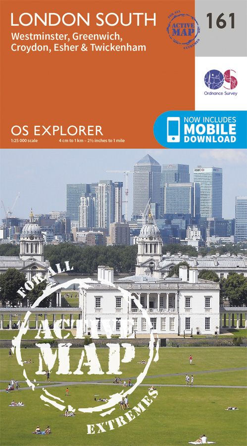
Follow the Thames Path through the heart of London’s oldest and most historic areas. Discover Westminster, a square mile densely packed with some of the world’s most famous attractions: Buckingham Palace, Westminster Abbey, Westminster Cathedral and the Palace of Westminster, home to the Houses of Parliament. Visit the World Heritage Sites of Kew Gardens, Maritime Greenwich including the Royal Observatory and the Palace of Westminster & Abbey complex Explore the suburbs of Croydon, Esher and Twickenham, home of English rugby and Horace Walpole’s miniature Gothic castle, Strawberry Hill Walk or cycle the Thames Path National Trail or recreational paths including the London Loop and Vanguard Way Met zijn 4cm voor 1 km (2 ½ cm voor 1 mijl) schaal, is de OS Explorer kaartenserie de ideale en meest gedetailleerde kaartenreeks voor mensen die graag outdoor-activiteiten zoals fietsen, wandelen, paardrijden, klimmen en watersporten. Deze kaart is nog gedetailleerder dan de 'gewone' Landranger maps. Voor- en achterzijde bedrukt! Zeker op de moors en andere natuurgebieden van onschatbare waarden met echt alle aspecten van het landschap op de kaart ingetekend. Zeer goede detailkaart met topografische ondergrond. Hierop zijn toeristische symbolen van bezienswaardigheden ingetekend, daarnaast staan bijvoorbeeld campings en jeugdherbergen vermeld en - voor wandelaars het belangrijkst - alle right of way paden en Lange afstands Wandelpaden zijn er op te vinden. De ideale kaart voor het wandelen in Engeland, Wales of Schotland. These highly detailed maps show all the administrative boundaries, settlements as small as isolated farms, the road network down to unfenced roads and country tracks, and field boundaries (hedges and drystone walls) which make navigation across the countryside much easier. Steep gradients on roads are indicated. Various landmarks, e.g. powerlines, archaeological sites, windmills, churches and lighthouses are shown and additional graphics indicate natural terrain features such as cliffs, scree, mud and vegetation variations. The contour interval is 5 metres in the lower parts of the country and 10 metres in the uplands, and spot heights are marked. Each map covers an area of 30 x 20km (i.e. approx. 19 x 12 miles), with some double-sided maps covering more, as indicated in the individual descriptions. The maps are fully GPS compatible, with the National Grid shown at 1km intervals and latitude and longitude indicated by margin ticks at 1'. The Explorer series has replaced the earlier, green-cover Pathfinder maps. The Explorer series is now complete and covers all of England, Wales & Scotland. Some sheets for popular areas like the National Parks are still branded as Outdoor Leisure (OL) maps, but are now included in this series as the cartography is the same as that in the Explorer Maps. The Explorer maps offer a substantial improvement on the Pathfinder series, with greater use of colour, larger area per map, and stronger emphasis on information for ramblers and tourists. This series is ideal for walking and other outdoor pursuits and each map shows a large amount of information for ramblers and tourists. Public rights of way are shown (except in Scotland), together with other routes with public access: National Trails and Recreational Paths, permitted paths and bridleways, and selected cycle routes. Open access land created under the Countryside and Rights of Way Act 2000 is marked. Tourist information includes caravan and camp sites, Park & Ride locations, recreation/leisure/sport centres, museums, historic buildings, English Heritage and National Trust sites, rural pubs, etc. The map legend is in English only, except for the tourist information content which is also in French and German
€25,95
Bekijk product