
Beantwoord enkele vragen, en binnen seconden geeft AI je een persoonlijk aankoopadvies op maat.
Beantwoord enkele vragen, en binnen seconden geeft AI je een persoonlijk aankoopadvies op maat.
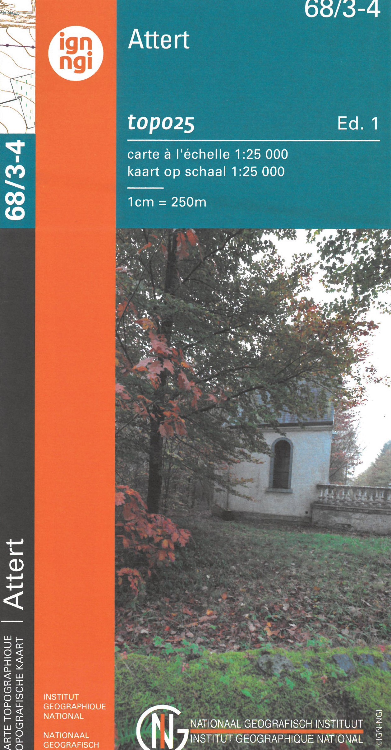
Zeer gedetailleerde topografische kaart van een deel van Belgie. Deze kaart is bijzonder geschikt voor wandeltochten in met name het heuvelachtige gebied van de Ardennen. Voorzien van alle topografische details als hoogtelijnen, waterlopen, bosgebieden, paden en brandgangen. Hoogtelijnen maken het mogelijk de moeilijkheidsgraad van een wandeling in te schatten. Belangrijke oriëntatiepunten, zoals solitaire bomen, kapelletjes, hoogspanningslijnen, en vele andere, zijn ingetekend. De kaarten zijn voorzien van een gradenoverzicht en UTM grid en daardoor dus te gebruiken voor GPS tochten. Elk kaartblad bedekt een gebied van 160 km2.
€10,95
Bekijk product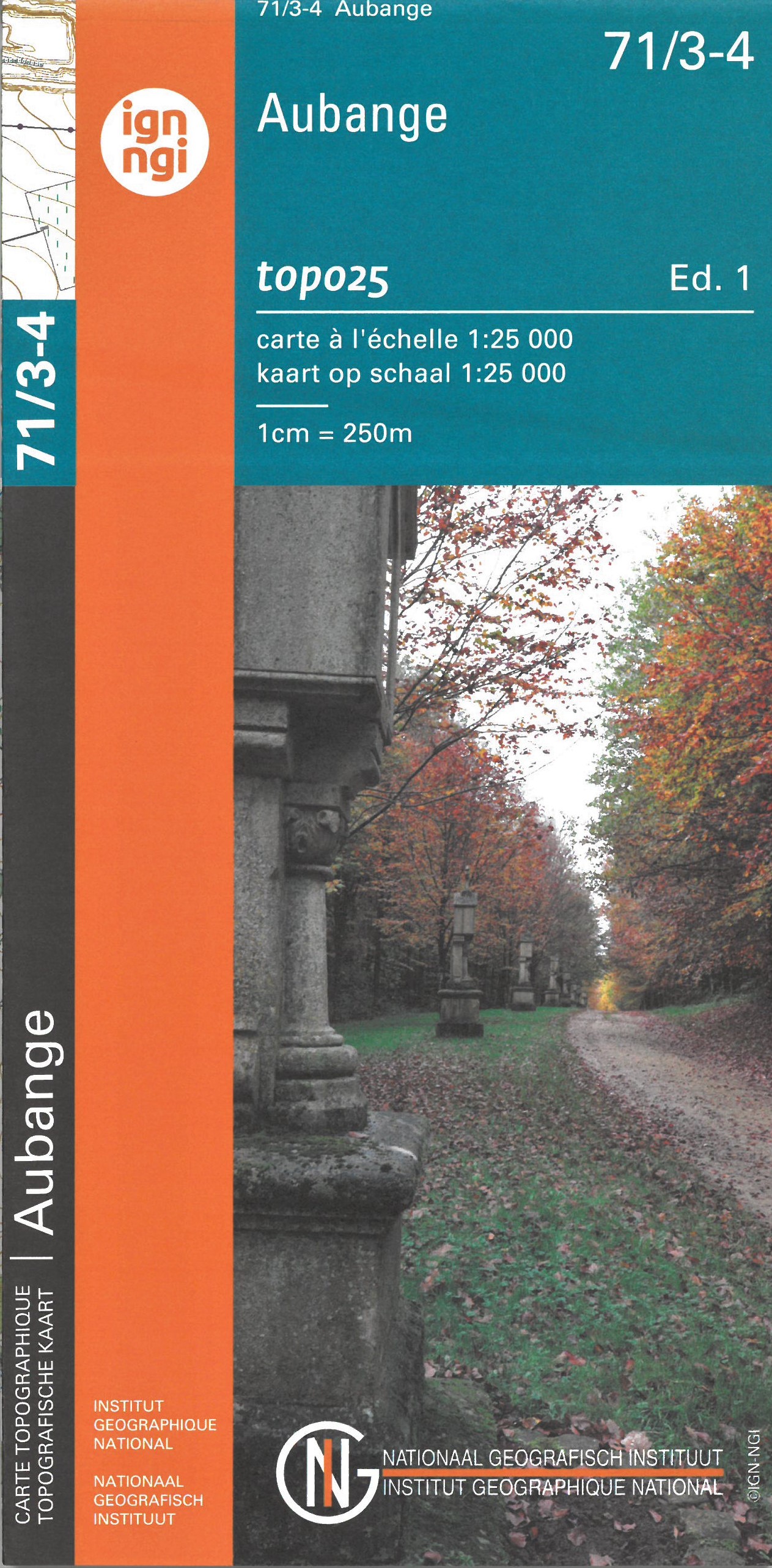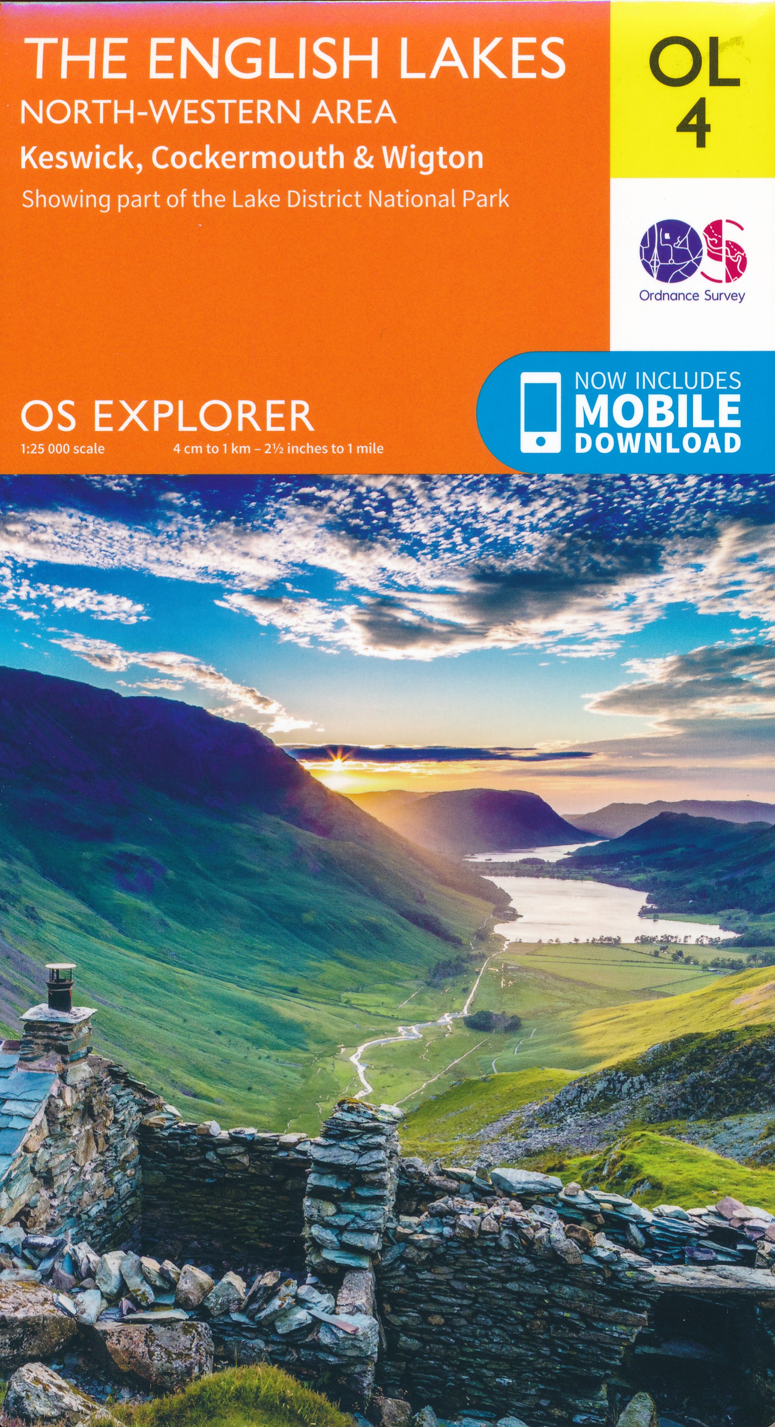
Met zijn 4cm voor 1 km (2 ½ cm voor 1 mijl) schaal, is de OS Outdoor Leisure kaartenserie de ideale en meest gedetailleerde kaartenreeks voor mensen die graag outdoor-activiteiten zoals fietsen, wandelen, paardrijden, klimmen en watersporten. Deze kaart is nog gedetailleerder dan de 'gewone' Landranger maps. Voor- en achterzijde bedrukt! Zeker op de moors en andere natuurgebieden van onschatbare waarden met echt alle aspecten van het landschap op de kaart ingetekend. Zeer goede detailkaart met topografische ondergrond. Hierop zijn toeristische symbolen van bezienswaardigheden ingetekend, daarnaast staan bijvoorbeeld campings en jeugdherbergen vermeld en - voor wandelaars het belangrijkst - alle right of way paden en Lange afstands Wandelpaden zijn er op te vinden. De ideale kaart voor het wandelen in Engeland, Wales of Schotland. These highly detailed maps show all the administrative boundaries, settlements as small as isolated farms, the road network down to unfenced roads and country tracks, and field boundaries (hedges and drystone walls) which make navigation across the countryside much easier. Steep gradients on roads are indicated. Various landmarks, e.g. powerlines, archaeological sites, windmills, churches and lighthouses are shown and additional graphics indicate natural terrain features such as cliffs, scree, mud and vegetation variations. The contour interval is 5 metres in the lower parts of the country and 10 metres in the uplands, and spot heights are marked. Each map covers an area of 30 x 20km (i.e. approx. 19 x 12 miles), with some double-sided maps covering more, as indicated in the individual descriptions. The maps are fully GPS compatible, with the National Grid shown at 1km intervals and latitude and longitude indicated by margin ticks at 1'. This series is ideal for walking and other outdoor pursuits and each map shows a large amount of information for ramblers and tourists. Public rights of way are shown (except in Scotland), together with other routes with public access: National Trails and Recreational Paths, permitted paths and bridleways, and selected cycle routes. Open access land created under the Countryside and Rights of Way Act 2000 is marked. Tourist information includes caravan and camp sites, Park & Ride locations, recreation/leisure/sport centres, museums, historic buildings, English Heritage and National Trust sites, rural pubs, etc. The map legend is in English only, except for the tourist information content which is also in French and German
€19,50
Bekijk product
Een van de beste detailkaarten die er op de wereld gemaakt worden: zeer gedetailleerd, prachtig helder kleurgebruik, veel topografische aspecten en - zeer belangrijk - allerlei toeristische en recreatieve aspecten zijn ingetekend. De perfecte kaart voor vakantie en vrije tijd: wandelen, fietsen of gewoon de omgeving verkennen. Door de grootte van de kaart, voor- en achterzijde, bestrijkt het een behoorlijk groot gebied! These highly detailed maps show all the administrative boundaries, settlements as small as isolated farms, road network down to unfenced roads and country tracks, and field boundaries (hedges and drystone walls) which make navigation across the countryside much easier. Steep gradients on roads are indicated. Various landmarks, eg. powerlines, archaeological sites, windmills, churches and lighthouses are shown, and additional graphics indicate natural terrain features such as cliffs, scree, mud and vegetation variations. Contour interval is 5 metres in the lower parts of the country and 10 metres in the uplands, and spot heights are marked. Each map covers an area of 30 x 20km (i.e. approx. 19 x 12 miles), with some double-sided maps covering more, as indicated in the individual descriptions. The maps are fully GPS compatible, with the National Grid shown at 1km intervals and latitude and longitude indicated by margin ticks at 1'. Explorer maps show a large amount of information for ramblers and tourists. Public rights of way are shown (except in Scotland), together with other routes with public access: National Trails and Recreational Paths, permitted paths and bridleways, and selected cycle routes. Open access land created under the Countryside and Rights of Way Act 2000 is marked. Tourist information includes caravan and camp sites, Park & Ride locations, recreation/leisure/sport centres, museums, historic buildings, English Heritage and National Trust sites, rural pubs, etc. The map legend is in English only, except for the tourist information content which is also in French and German.
€19,50
Bekijk product
Een van de beste detailkaarten die er op de wereld gemaakt worden: zeer gedetailleerd, prachtig helder kleurgebruik, veel topografische aspecten en - zeer belangrijk - allerlei toeristische en recreatieve aspecten zijn ingetekend. De perfecte kaart voor vakantie en vrije tijd: wandelen, fietsen of gewoon de omgeving verkennen. Door de grootte van de kaart, voor- en achterzijde, bestrijkt het een behoorlijk groot gebied! Jedburgh & Wooler. Showing part of the Northumberland National Park and the Pennine Way These highly detailed maps show all the administrative boundaries, settlements as small as isolated farms, road network down to unfenced roads and country tracks, and field boundaries (hedges and drystone walls) which make navigation across the countryside much easier. Steep gradients on roads are indicated. Various landmarks, eg. powerlines, archaeological sites, windmills, churches and lighthouses are shown, and additional graphics indicate natural terrain features such as cliffs, scree, mud and vegetation variations. Contour interval is 5 metres in the lower parts of the country and 10 metres in the uplands, and spot heights are marked. Each map covers an area of 30 x 20km (i.e. approx. 19 x 12 miles), with some double-sided maps covering more, as indicated in the individual descriptions. The maps are fully GPS compatible, with the National Grid shown at 1km intervals and latitude and longitude indicated by margin ticks at 1'. Explorer maps show a large amount of information for ramblers and tourists. Public rights of way are shown (except in Scotland), together with other routes with public access: National Trails and Recreational Paths, permitted paths and bridleways, and selected cycle routes. Open access land created under the Countryside and Rights of Way Act 2000 is marked. Tourist information includes caravan and camp sites, Park & Ride locations, recreation/leisure/sport centres, museums, historic buildings, English Heritage and National Trust sites, rural pubs, etc. The map legend is in English only, except for the tourist information content which is also in French and German.
€19,50
Bekijk product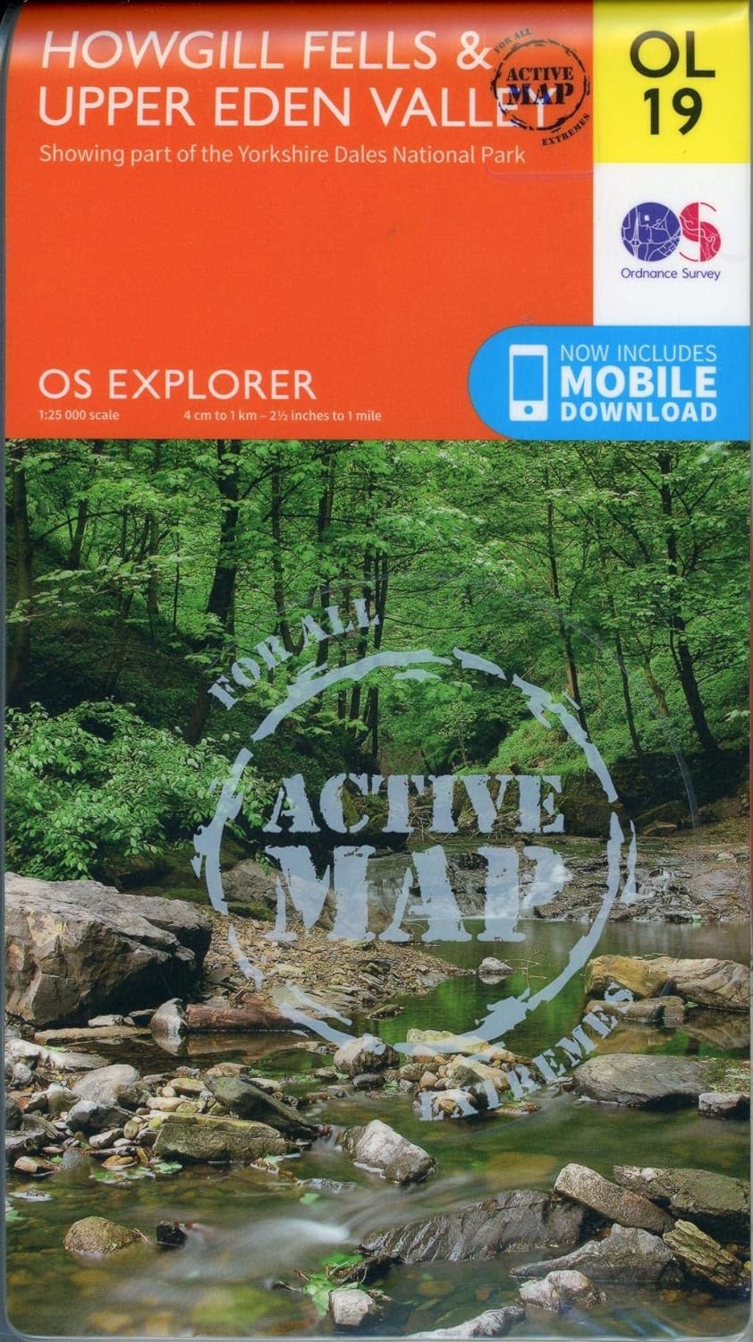
Een van de beste detailkaarten die er op de wereld gemaakt worden: zeer gedetailleerd, prachtig helder kleurgebruik, veel topografische aspecten en - zeer belangrijk - allerlei toeristische en recreatieve aspecten zijn ingetekend. De perfecte kaart voor vakantie en vrije tijd: wandelen, fietsen of gewoon de omgeving verkennen. Door de grootte van de kaart, voor- en achterzijde, bestrijkt het een behoorlijk groot gebied! Explore Howgill Fells in the Yorkshire Dales National Park and the North Pennines Area of Outstanding Natural Beauty with the Eden Valley running in between. Visit Sedbergh, a quaint market town at the confluence of four rivers and ancient trade routes, and Appleby-in-Westmorland, home of the famous horse fair since the seventeenth century. Climb the Howgill Fells for incredible views of the Lake District and Yorkshire Dales and ascend the heights of Wild Boar Fell, High Seat and Cautley Spout, England’s highest waterfall Follow A Pennine Journey through spectacular scenery north from Garsdale Head, and pause in the picturesque market town of Kirkby Stephen with its ‘Loki stone’ Walk, hike, cycle and ride along the Pennine Bridleway, Pennine Way, Dales High Way and A Pennine Journey OS Explorer Active Maps: 1:25 000 scale (4 cm to 1 km – 2½ inches to 1 mile). Laminated with a weatherproof finish, also suitable for dry-wipe pens. Great for walkers, hikers, cyclists, families, dog walkers, and horse riders. Includes roads, rights of way, permissive paths and bridleways, plus essential visitor information. Free digital download included. Other Ordnance Survey maps of the Yorkshire Dales include Yorkshire Dales: Northern & Central Areas Explorer map OL30 and North Pennines Explorer map OL31
€28,50
Bekijk product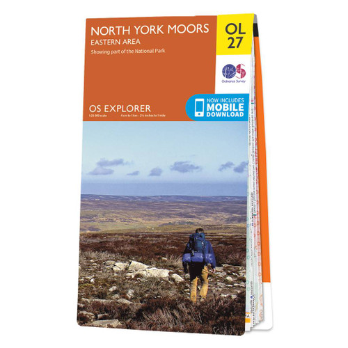
Een van de beste detailkaarten die er op de wereld gemaakt worden: zeer gedetailleerd, prachtig helder kleurgebruik, veel topografische aspecten en - zeer belangrijk - allerlei toeristische en recreatieve aspecten zijn ingetekend. De perfecte kaart voor vakantie en vrije tijd: wandelen, fietsen of gewoon de omgeving verkennen. Door de grootte van de kaart, voor- en achterzijde, bestrijkt het een behoorlijk groot gebied! These highly detailed maps show all the administrative boundaries, settlements as small as isolated farms, road network down to unfenced roads and country tracks, and field boundaries (hedges and drystone walls) which make navigation across the countryside much easier. Steep gradients on roads are indicated. Various landmarks, eg. powerlines, archaeological sites, windmills, churches and lighthouses are shown, and additional graphics indicate natural terrain features such as cliffs, scree, mud and vegetation variations. Contour interval is 5 metres in the lower parts of the country and 10 metres in the uplands, and spot heights are marked. Each map covers an area of 30 x 20km (i.e. approx. 19 x 12 miles), with some double-sided maps covering more, as indicated in the individual descriptions. The maps are fully GPS compatible, with the National Grid shown at 1km intervals and latitude and longitude indicated by margin ticks at 1'. Explorer maps show a large amount of information for ramblers and tourists. Public rights of way are shown (except in Scotland), together with other routes with public access: National Trails and Recreational Paths, permitted paths and bridleways, and selected cycle routes. Open access land created under the Countryside and Rights of Way Act 2000 is marked. Tourist information includes caravan and camp sites, Park & Ride locations, recreation/leisure/sport centres, museums, historic buildings, English Heritage and National Trust sites, rural pubs, etc. The map legend is in English only, except for the tourist information content which is also in French and German.
€19,50
Bekijk product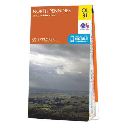
Een van de beste detailkaarten die er op de wereld gemaakt worden: zeer gedetailleerd, prachtig helder kleurgebruik, veel topografische aspecten en - zeer belangrijk - allerlei toeristische en recreatieve aspecten zijn ingetekend. De perfecte kaart voor vakantie en vrije tijd: wandelen, fietsen of gewoon de omgeving verkennen. Door de grootte van de kaart, voor- en achterzijde, bestrijkt het een behoorlijk groot gebied! These highly detailed maps show all the administrative boundaries, settlements as small as isolated farms, road network down to unfenced roads and country tracks, and field boundaries (hedges and drystone walls) which make navigation across the countryside much easier. Steep gradients on roads are indicated. Various landmarks, eg. powerlines, archaeological sites, windmills, churches and lighthouses are shown, and additional graphics indicate natural terrain features such as cliffs, scree, mud and vegetation variations. Contour interval is 5 metres in the lower parts of the country and 10 metres in the uplands, and spot heights are marked. Each map covers an area of 30 x 20km (i.e. approx. 19 x 12 miles), with some double-sided maps covering more, as indicated in the individual descriptions. The maps are fully GPS compatible, with the National Grid shown at 1km intervals and latitude and longitude indicated by margin ticks at 1'. Explorer maps show a large amount of information for ramblers and tourists. Public rights of way are shown (except in Scotland), together with other routes with public access: National Trails and Recreational Paths, permitted paths and bridleways, and selected cycle routes. Open access land created under the Countryside and Rights of Way Act 2000 is marked. Tourist information includes caravan and camp sites, Park & Ride locations, recreation/leisure/sport centres, museums, historic buildings, English Heritage and National Trust sites, rural pubs, etc. The map legend is in English only, except for the tourist information content which is also in French and German
€19,50
Bekijk product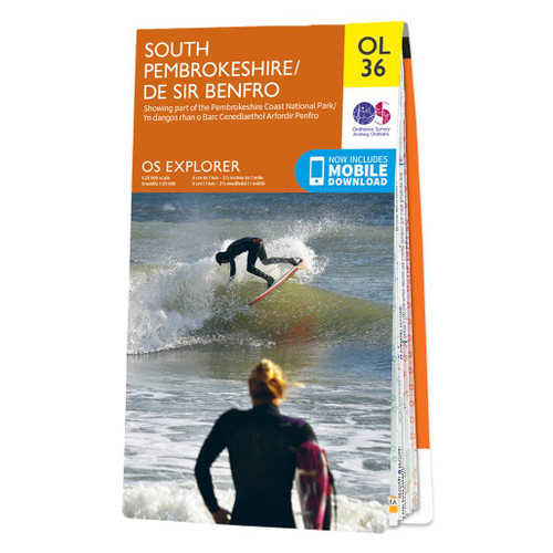
Met zijn 4cm voor 1 km (2 ½ cm voor 1 mijl) schaal, is de OS Outdoor Leisure kaartenserie de ideale en meest gedetailleerde kaartenreeks voor mensen die graag outdoor-activiteiten zoals fietsen, wandelen, paardrijden, klimmen en watersporten. Deze kaart is nog gedetailleerder dan de 'gewone' Landranger maps. Voor- en achterzijde bedrukt! Zeker op de moors en andere natuurgebieden van onschatbare waarden met echt alle aspecten van het landschap op de kaart ingetekend. Zeer goede detailkaart met topografische ondergrond. Hierop zijn toeristische symbolen van bezienswaardigheden ingetekend, daarnaast staan bijvoorbeeld campings en jeugdherbergen vermeld en - voor wandelaars het belangrijkst - alle right of way paden en Lange afstands Wandelpaden zijn er op te vinden. De ideale kaart voor het wandelen in Engeland, Wales of Schotland. These highly detailed maps show all the administrative boundaries, settlements as small as isolated farms, the road network down to unfenced roads and country tracks, and field boundaries (hedges and drystone walls) which make navigation across the countryside much easier. Steep gradients on roads are indicated. Various landmarks, e.g. powerlines, archaeological sites, windmills, churches and lighthouses are shown and additional graphics indicate natural terrain features such as cliffs, scree, mud and vegetation variations. The contour interval is 5 metres in the lower parts of the country and 10 metres in the uplands, and spot heights are marked. Each map covers an area of 30 x 20km (i.e. approx. 19 x 12 miles), with some double-sided maps covering more, as indicated in the individual descriptions. The maps are fully GPS compatible, with the National Grid shown at 1km intervals and latitude and longitude indicated by margin ticks at 1'. This series is ideal for walking and other outdoor pursuits and each map shows a large amount of information for ramblers and tourists. Public rights of way are shown (except in Scotland), together with other routes with public access: National Trails and Recreational Paths, permitted paths and bridleways, and selected cycle routes. Open access land created under the Countryside and Rights of Way Act 2000 is marked. Tourist information includes caravan and camp sites, Park & Ride locations, recreation/leisure/sport centres, museums, historic buildings, English Heritage and National Trust sites, rural pubs, etc. The map legend is in English only, except for the tourist information content which is also in French and German Ingetekende wandelroute PembrokeShire Coast Path
€19,50
Bekijk product