
Beantwoord enkele vragen, en binnen seconden geeft AI je een persoonlijk aankoopadvies op maat.
Beantwoord enkele vragen, en binnen seconden geeft AI je een persoonlijk aankoopadvies op maat.

Mooie wegenatlas van Marco Polo van Italie. Veel detail met wegenummers, onderscheid in verschillende wegen, afstanden tussen dorpen en steden. Ook bezienswaardigheden en andere toeristische aspecten staan met symbolen ingetekend. Achterin nog een behoorlijk aantal stadsplattegronden en een uitgebreid register. Spiraalbinding, A4 formaat.
€16,95
Bekijk product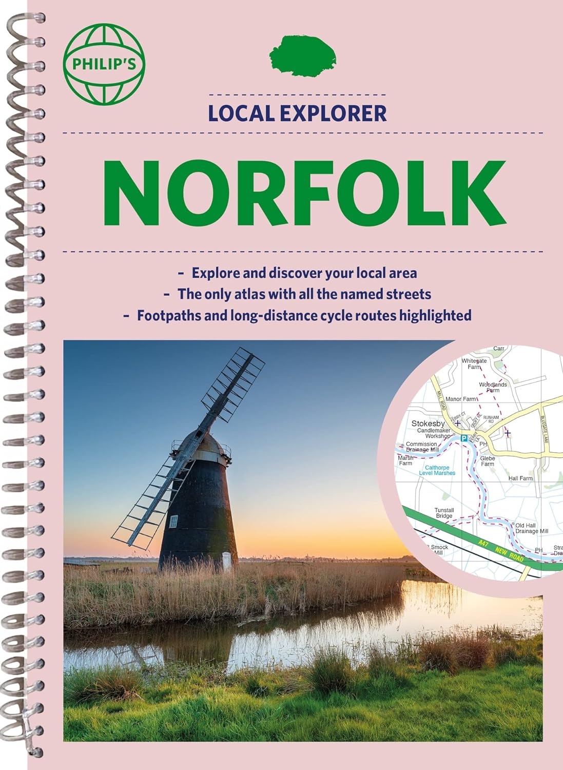
Who hasn't explored and enjoyed their surrounding area in recent years and come to appreciate what is on our respective doorsteps? Philip's have created this new series for walkers, cyclists and local explorers at a scale that provides greener options to uncover all the nature and hidden gems in your local area. Includes all the 20,000 streets in BECCLES, GREAT YARMOUTH, KING'S LYNN, Norwich, Thetford, Attleborough, Aylsham, Brundall, Bungay, Caister-on-Sea, Cromer, Dersingham, Diss, Downham Market, Fakenham, Harleston, Heacham, Hemsby, Hunstanton, Lakenheath, Loddon, North Walsham, Sheringham, Swaffham, Watton, Wells-next-the-Sea, Wisbech, Wymondham. The detailed scale allows explorers, walkers and cyclists to avoid main roads and select pathways, bridleways and lanes for optimum enjoyment. Whether it's meandering through the local parks or historic houses, exploring neighbourhood nature spots or the local town, we have the clear mapping and information you need. If you do have to travel to reach areas you'd like to explore, all A and B roads are clearly shown on our Route Planner and we include all the large-scale town and city plans. Exceptional detail allows the user to pinpoint exactly where they need to go and the best route to follow. · The only atlas with every road, street and lane in the county named, along with the best pedestrian routes, long-distance cycle routes. · Highlighting lanes, alleyways, footpaths and bridleways, camping and caravan sites, golf courses, parks, gardens and many, many other places of interest. · Contains all the usual one-way streets, barriers, car parks, railway and bus stations, hospitals, colleges and schools, police and fire stations, places of worship, post offices, shopping and leisure centres.
€23,95
Bekijk product
Who hasn't explored and enjoyed their surrounding area recently and come to appreciate what is on our respective doorsteps? Philip's have created this new series for walkers, cyclists and local explorers at a scale that provides greener options to uncover all the nature and hidden gems in your local area. The detailed scale allows explorers, walkers and cyclists to avoid main roads and select pathways, bridleways and lanes for optimum enjoyment. Whether it's meandering through the local parks or historic houses, exploring neighbourhood nature spots or the local town, we have the clear mapping and information you need. If you do have to travel to reach areas you'd like to explore, all A and B roads are clearly shown on our Route Planner and we include all the large-scale town and city plans. Exceptional detail allows the user to pinpoint exactly where they need to go and the best route to follow. · The only atlas with every road, street and lane in the county named, along with the best pedestrian routes, long-distance cycle routes. · Highlighting lanes, alleyways, footpaths and bridleways, camping and caravan sites, golf courses, parks, gardens and many, many other places of interest · Contains all the usual one-way streets, barriers, car parks, railway and bus stations, hospitals, colleges and schools, police and fire stations, places of worship, post offices, shopping and leisure centres
€23,95
Bekijk product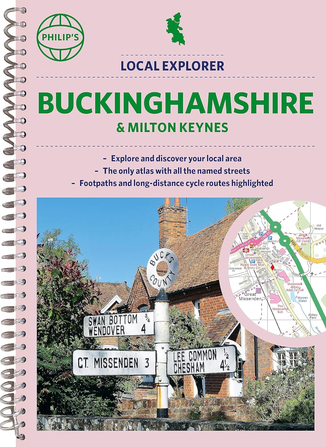
Philip's created this new series for walkers, cyclists and local explorers at a scale that provides greener options to uncover all the nature and hidden gems in your local area. With over 18,000 streets and lanes and alleys, and from Aylesbury to Wolverton, we cover Buckinghamshire in enticing detail. Who hasn't explored and enjoyed their surrounding area in recent years and come to appreciate what is on our respective doorsteps? Philip's have created this new series for walkers, cyclists and local explorers at a scale that provides greener options to uncover all the nature and hidden gems in your local area. Includes all the streets in AYLESBURY, BLETCHLEY, CHESHAM, HIGH WYCOMBE, MILTON KEYNES, SLOUGH, Amersham, Beaconsfield, Berkhamsted, Buckingham, Burnham, Chalfont St Giles, Chalfont St Peter, Chesham Bois, Chorleywood, Cookham, Denham, Flackwell Heath, Gerrards Cross, Great Missenden, Haddenham, Hazlemere, Iver, Linslade, Little Chalfont, Loudwater, Loughton, Maidenhead, Marlow, Newport Pagnell, Olney, Prestwood, Princes Risborough, Stoke Mandeville, Stoke Poges, Stony Stratford, Thame, Tring, Uxbridge, Wendover, Windsor, Winslow, Wolverton. The detailed scale allows explorers, walkers and cyclists to avoid main roads and select pathways, bridleways and lanes for optimum enjoyment. Whether it's meandering through the local parks or historic houses, exploring neighbourhood nature spots or the local town, we have the clear mapping and information you need. If you do have to travel to reach areas you'd like to explore, all A and B roads are clearly shown on our Route Planner and we include. Exceptional detail allows the user to pinpoint exactly where they need to go and the best route to follow. · The only atlas with every road, street and lane in the county named, along with the best pedestrian routes, long-distance cycle routes. · Highlighting lanes, alleyways, footpaths and bridleways, camping and caravan sites, golf courses, parks, gardens and many, many other places of interest · Contains all the usual one-way streets, barriers, car parks, railway and bus stations, hospitals, colleges and schools, police and fire stations, places of worship, post offices, shopping and leisure centres
€23,95
Bekijk product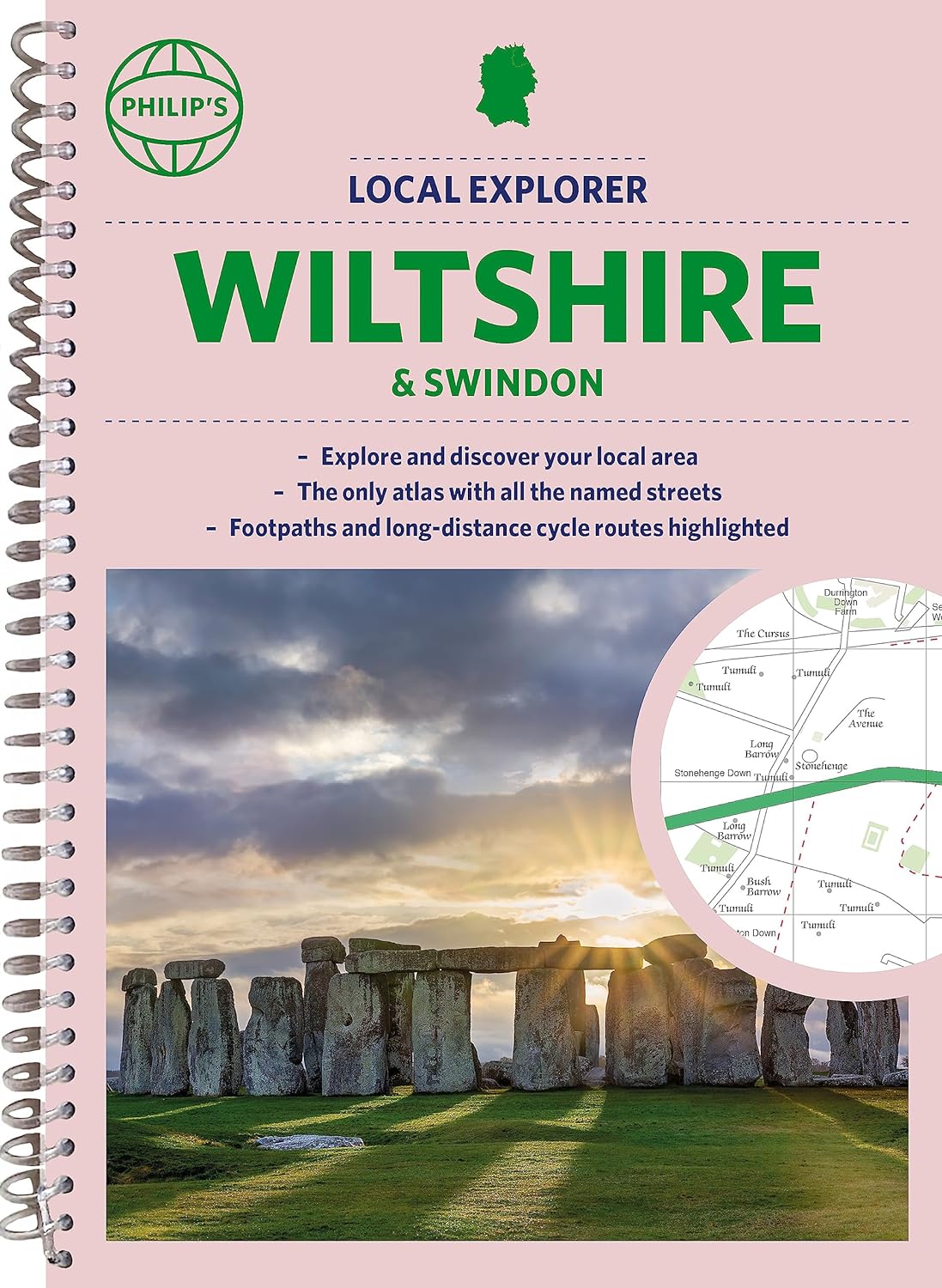
Who hasn't explored and enjoyed their surrounding area in recent years and come to appreciate what is on our respective doorsteps? Philip's have created this new series for walkers, cyclists and local explorers at a scale that provides greener options to uncover all the nature and hidden gems in your local area. Includes all the 13,000 streets, lanes and alleys in CHIPPENHAM, DEVIZES, MARLBOROUGH, SALISBURY, SWINDON, TROWBRIDGE, Warminster, Amesbury, Avebury, Bradford-on-Avon, Burbage, Calne, Corsham, Cricklade, Durrington, Frome, Great Bedwyn, Highworth, Hungerford, Lambourn, Larkhill, Lechlade-on-Thames, Little Bedwyn, Ludgershall, Lyneham, Malmesbury, Melksham, Mere, Pewsey, Purton, Royal Wootton Bassett, Shaftesbury, South Cerney, Stourton, Tidworth, Westbury, Wilton. The detailed scale allows explorers, walkers and cyclists to avoid main roads and select pathways, bridleways and lanes for optimum enjoyment. Whether it's meandering through the local parks or historic houses, exploring neighbourhood nature spots or the local town, we have the clear mapping and information you need. If you do have to travel to reach areas you'd like to explore, all A and B roads are clearly shown on our Route Planner and we include all the large-scale town and city plans. Exceptional detail allows the user to pinpoint exactly where they need to go and the best route to follow.
€23,95
Bekijk product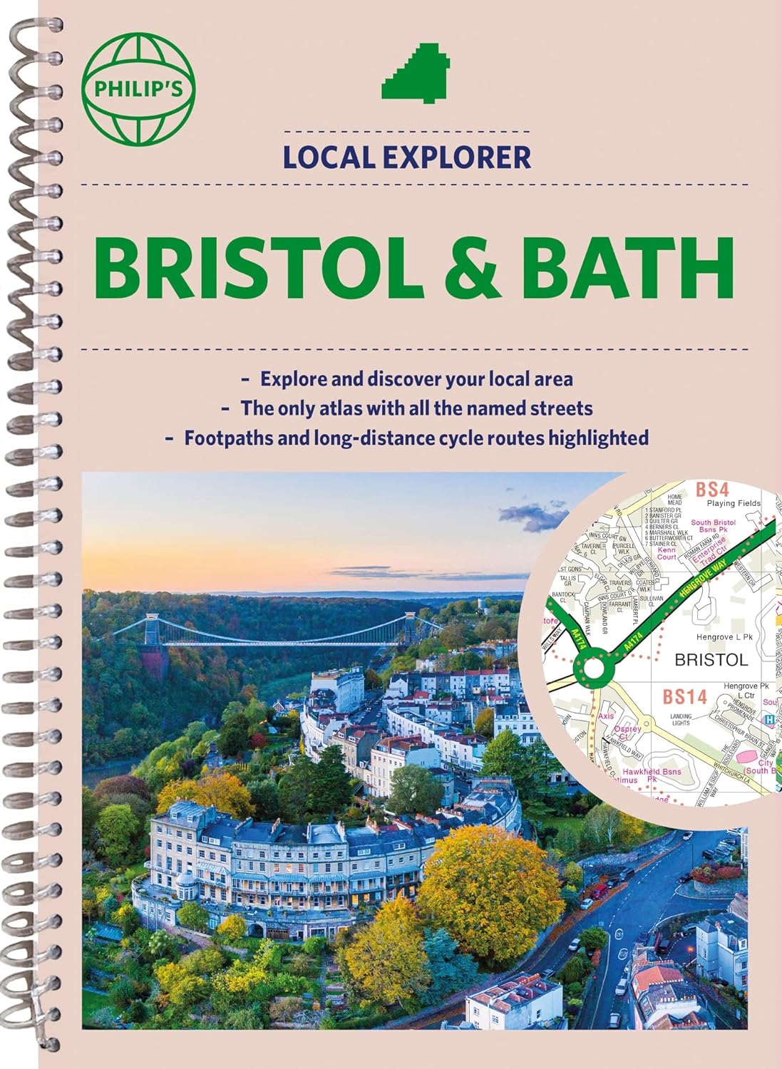
Who hasn't explored and enjoyed their surrounding area recently and come to appreciate what is on our respective doorsteps? Philip's have created this new series for walkers, cyclists and local explorers at a scale that provides greener options to uncover all the nature and hidden gems in your local area. The detailed scale allows explorers, walkers and cyclists to avoid main roads and select pathways, bridleways and lanes for optimum enjoyment. Whether it's meandering through the local parks or historic houses, exploring neighbourhood nature spots or the local town, we have the clear mapping and information you need. If you do have to travel to reach areas you'd like to explore, all A and B roads are clearly shown on our Route Planner and we include all the large-scale town and city plans. Exceptional detail allows the user to pinpoint exactly where they need to go and the best route to follow. · The only atlas with every road, street and lane in the county named, along with the best pedestrian routes, long-distance cycle routes. · Highlighting lanes, alleyways, footpaths and bridleways, camping and caravan sites, golf courses, parks, gardens and many, many other places of interest · Contains all the usual one-way streets, barriers, car parks, railway and bus stations, hospitals, colleges and schools, police and fire stations, places of worship, post offices, shopping and leisure centres
€23,95
Bekijk product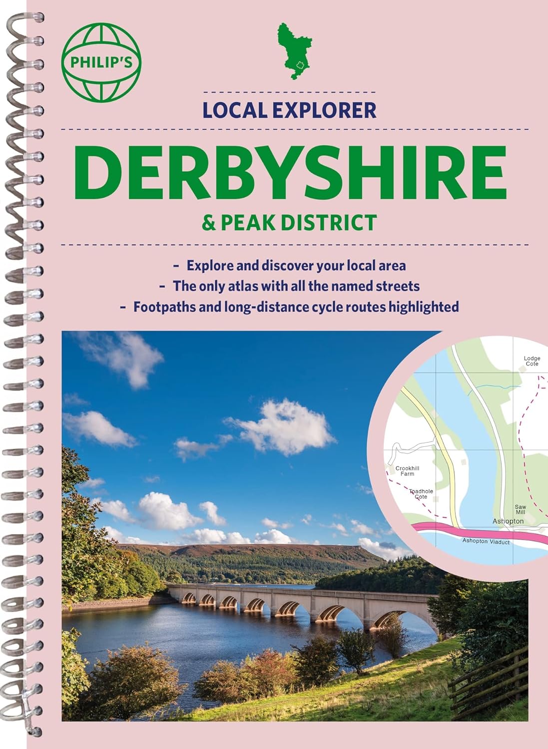
Who hasn't explored and enjoyed their surrounding area in recent years and come to appreciate what is on our respective doorsteps? Philip's have created this new series for walkers, cyclists and local explorers at a scale that provides greener options to uncover all the nature and hidden gems in your local area. Includes all the streets in BUXTON, CHESTERFIELD, DERBY, LONG EATON, MATLOCK, SWADLINCOTE, Alfreton, Ashbourne, Bakewell, Belper, Bolsover, Brimington, Chapel-en-le-Frith, Clay Cross, Clowne, Dronfield, Eckington, Glossop, Heanor, Ilkeston, New Mills, Pinxton, Ripley, Shirebrook, South Normanton, Staveley, Whaley Bridge, Wirksworth. The detailed scale allows explorers, walkers and cyclists to avoid main roads and select pathways, bridleways and lanes for optimum enjoyment. Whether it's meandering through the local parks or historic houses, exploring neighbourhood nature spots or the local town, we have the clear mapping and information you need. If you do have to travel to reach areas you'd like to explore, all A and B roads are clearly shown on our Route Planner and we include all the large-scale town and city plans. Exceptional detail allows the user to pinpoint exactly where they need to go and the best route to follow. · The only atlas with every road, street and lane in the county named, along with the best pedestrian routes, long-distance cycle routes. · Highlighting lanes, alleyways, footpaths and bridleways, camping and caravan sites, golf courses, parks, gardens and many, many other places of interest. · Contains all the usual one-way streets, barriers, car parks, railway and bus stations, hospitals, colleges and schools, police and fire stations, places of worship, post offices, shopping and leisure centres.
€23,95
Bekijk product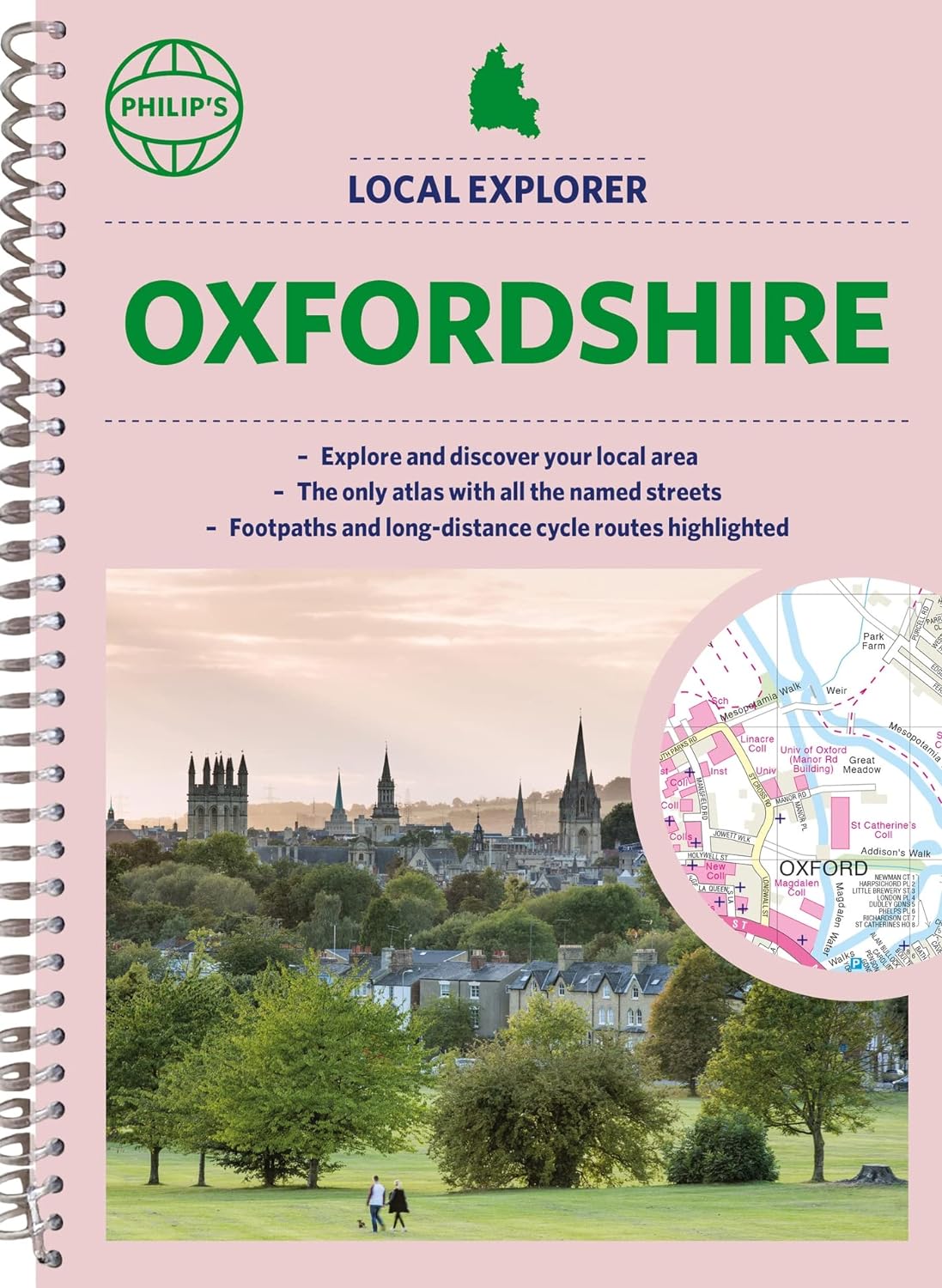
Who hasn't explored and enjoyed their surrounding area in recent years and come to appreciate what is on our respective doorsteps? Philip's have created this new series for walkers, cyclists and local explorers at a scale that provides greener options to uncover all the nature and hidden gems in your local area. Includes all the streets in ABINGDON-ON-THAMES, BANBURY, BICESTER, DIDCOT, HENLEY-ON-THAMES, KIDLINGTON, OXFORD, THAME, WITNEY, Adderbury, Benson, Burford, Carterton, Caversham, Chalgrove, Charlbury, Chinnor, Chipping Norton, Cholsey, Cowley, Cumnor, Eynsham, Faringdon, Goring, Grove, Headington, Highworth, Kennington, Lechlade-on-Thames, Middleton Cheney, Pangbourne, Sonning Common, Stokenchurch, Wallingford, Wantage, Wargrave, Watlington, Wheatley, Woodstock, Wootton. The detailed scale allows explorers, walkers and cyclists to avoid main roads and select pathways, bridleways and lanes for optimum enjoyment. Whether it's meandering through the local parks or historic houses, exploring neighbourhood nature spots or the local town, we have the clear mapping and information you need. If you do have to travel to reach areas you'd like to explore, all A and B roads are clearly shown on our Route Planner and we include a large-scale city plan of Oxford. Exceptional detail allows the user to pinpoint exactly where they need to go and the best route to follow. · The only atlas with every road, street and lane in the county named, along with the best pedestrian routes, long-distance cycle routes. · Highlighting lanes, alleyways, footpaths and bridleways, camping and caravan sites, golf courses, parks, gardens and many, many other places of interest · Contains all the usual one-way streets, barriers, car parks, railway and bus stations, hospitals, colleges and schools, police and fire stations, places of worship, post offices, shopping and leisure centres
€23,95
Bekijk product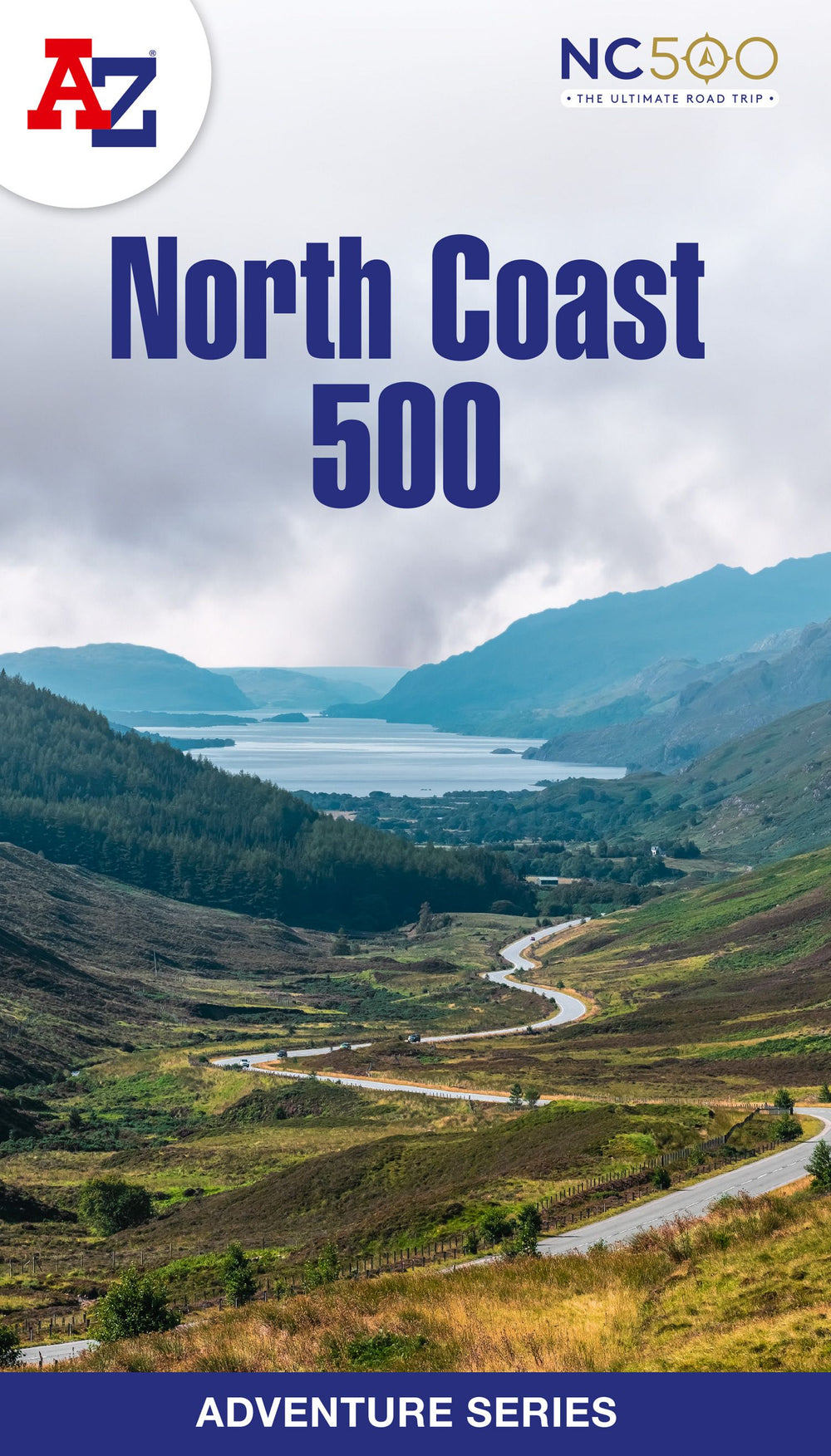
The A-Z Adventure Series of maps is the perfect companion for walkers, off-road cyclists, and anyone wishing to explore the great outdoors. The scenic North Coast 500 is one of the most popular routes in Scotland and journeying along it makes for an incredible adventure. The 516 mile (830 km) route passes through picturesque landscapes and abundant wildlife, linking a wide range of tourist destinations in the Highlands. This A-Z North Coast 500 Adventure Atlas features more than 90 pages of continuous 1:50 000 mapping, providing detailed coverage of the entire route. A route planner showing distances between places and the amenities available is also included, along with the locations of: Campsites (seasonal opening) Information Centres Hotels/B&Bs Youth Hostels Pubs, Restaurants and Cafes Shops Petrol Stations Now with NEW electric charge point data from Zapmap! Other walks available in the A-Z Adventure series include: Cotswold Way, Peddars Way and Norfolk Coast Path, Coast to Coast Path, South Downs Way and The Pembrokeshire Coast Path.
€13,95
Bekijk product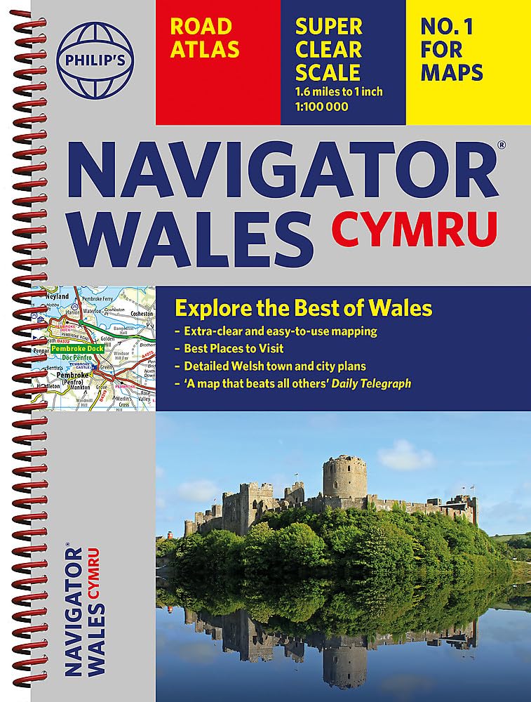
Ideaal voor fietsers! Explore the many attractions of Wales with this easy-to-use road atlas showing all the top spots. Easy-to-read mapping, superb extra detail, and a great lie-flat format make this the ultimate Welsh road trip companion. – Unrivalled level of detail from motorways to country lanes. – Exceptional clarity at a scale of 1.6 miles to 1 inch (1:100,000). – Ideal for explorers: heritage sites, spectacular sights, and the best walks around Snowdonia, the Brecon Beacons, the Pembrokeshire Coast and more. – Tourist attractions and places of interest clearly highlighted, from Caernarfon Castle to St David’s Cathedral. – Indexed town plans for all major centres, including Aberystwyth, Bangor, Cardiff, Holyhead, Llandudno, Llanelli, Merthyr Tydfil, Newport, Newtown, Swansea, and Wrexham. – Packed with hundreds of individually named farms, houses, and hamlets, alongside airports, airfields, stations, ferries, canals, and harbours. – Key to map symbols are clearly indexed and shown in English and Welsh. With its large scale and wealth of travel information, the Navigator atlas is perfect for both leisure and business.
€14,95
Bekijk product