Beantwoord enkele vragen, en binnen seconden geeft AI je een persoonlijk aankoopadvies op maat.
Beantwoord enkele vragen, en binnen seconden geeft AI je een persoonlijk aankoopadvies op maat.
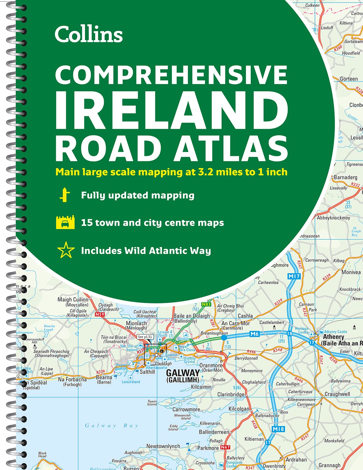
Duidelijke en gedetailleerde atlas voor Ierland in A4-formaat met ringband. Clear, detailed road atlas of Ireland in a handy A4 spiral-bound format. This comprehensive, general purpose road atlas of the whole of Ireland is ideal for both business and pleasure use. The atlas contains a range of mapping scales: • 9 miles to 1 inch route planning map • Main maps at 3.2 miles to 1 inch, which are ideal for navigation. • A wide selection of detailed town centre street plans. This edition boasts road mapping packed with detail showing colour classified road network, toll roads, land heights, the location of safety cameras, Blue Flag and Green Coast beaches, tourist information centres and a wide range of tourist attractions. There is also comprehensive guide information for visitors to Belfast, Cork, Dublin and Limerick. The locations of Speed Enforcement Zones, which highlight roads that have a high risk of accidents as identified by the Garda and the National Roads Authority, are included. There is also a wide range of fully indexed town and city centre maps. These are: Bangor, Belfast, Cork, Drogheda, Dublin, Dn Laoghaire, Galway, Kilkenny, Killarney, Limerick, Lisburn, Londonderry (Derry), Newry, Newtownabbey and Waterford.
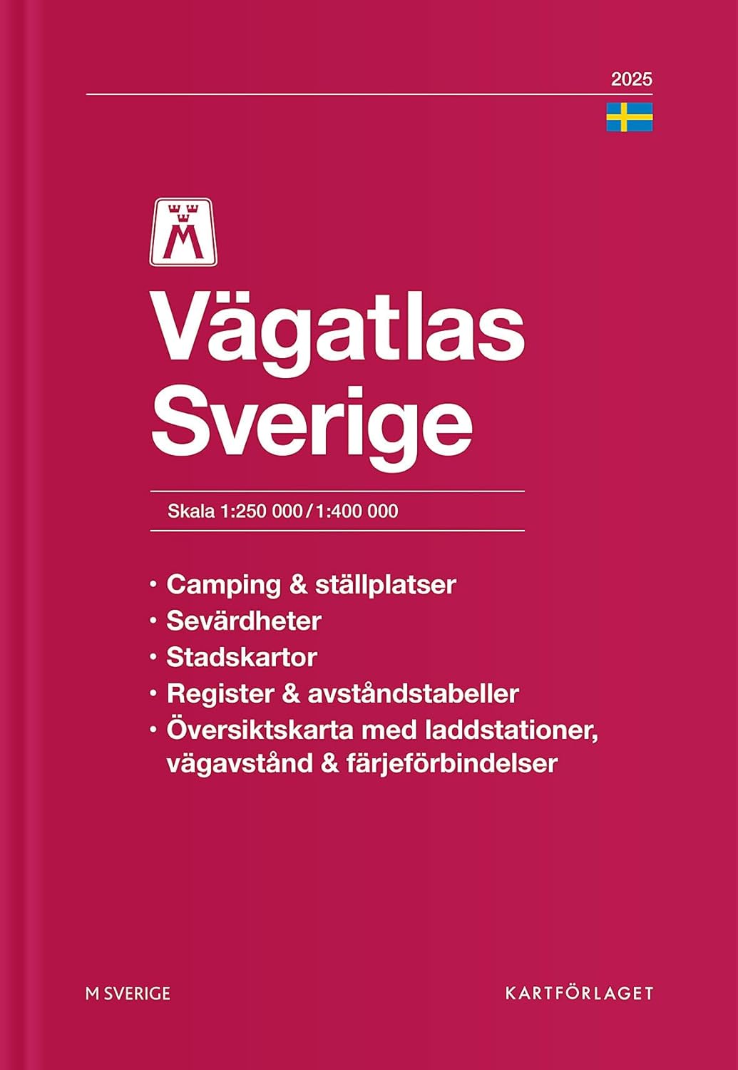
€14,95
Bekijk product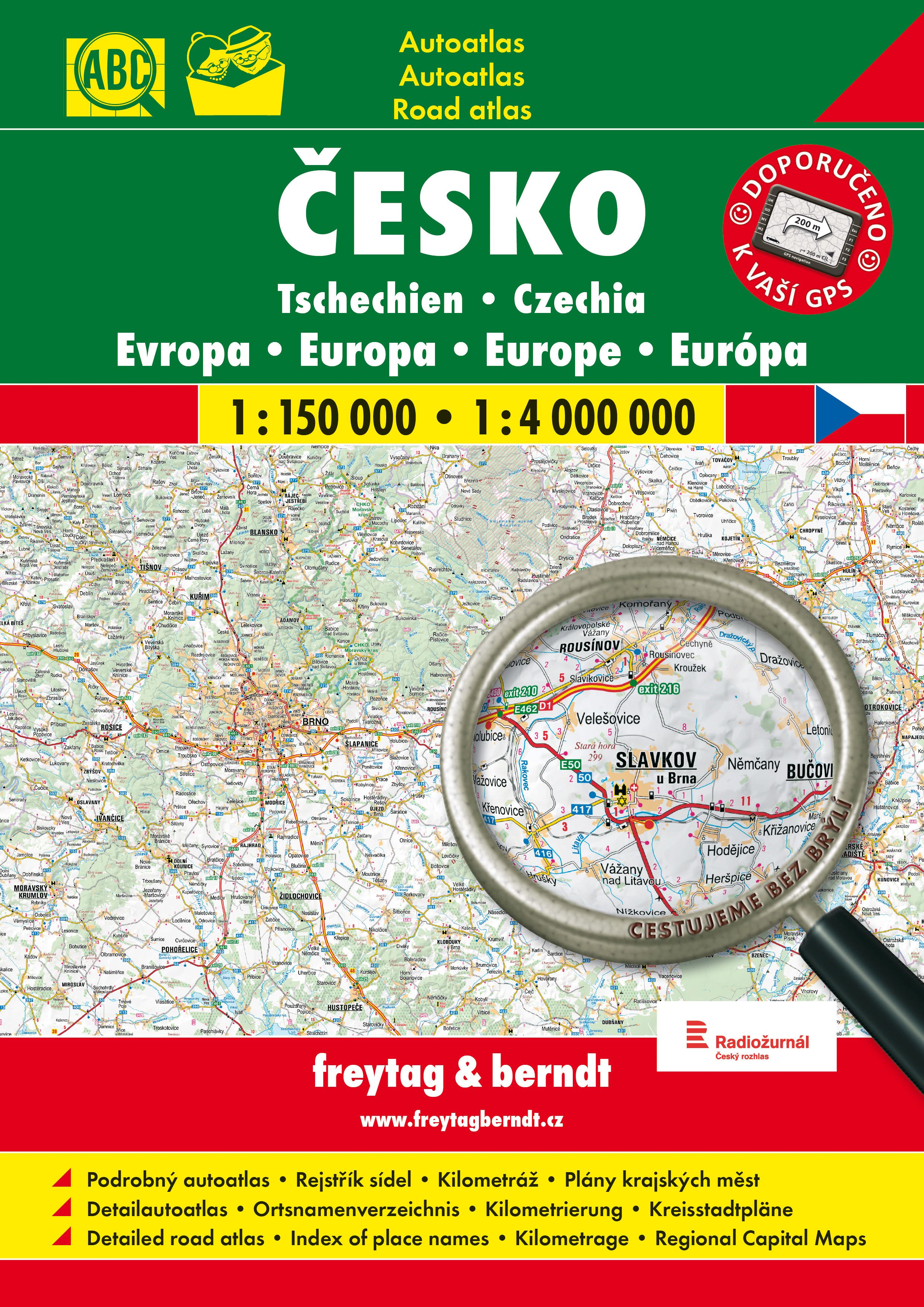
Goede, gedetailleerde wegenatlas van Tsjechië, met register, schaal 1:150.000 + Europa 1:400.000 De berijdbare wegen zijn goed weergeven, zowel de hoofdwegen als provinciale en lokale wegen; wegnummers worden vermeld. Afstanden tussen plaatsen zijn in kilometers op de kaart ingetekend, daarnaast worden ook op belangrijke plekken benzinepompen gemarkeerd. In het kaartbeeld wordt door middel van schaduw het reliëf weergegeven en soms enkele punten in het landschap met de daadwerkelijke hoogte. Provinciegrenzen zijn goed terug te vinden, nationale parken en reservaten ook. Met allerhande symbolen worden toeristische bezienswaardigheden weergegeven als monumenten, historisch belangrijke plekken en uitzichtpunten. In bepaalde plaatsen zijn hotels en campings te vinden, luchthavens, treinverbindingen en havens vindt u er ook op!
€23,95
Bekijk product

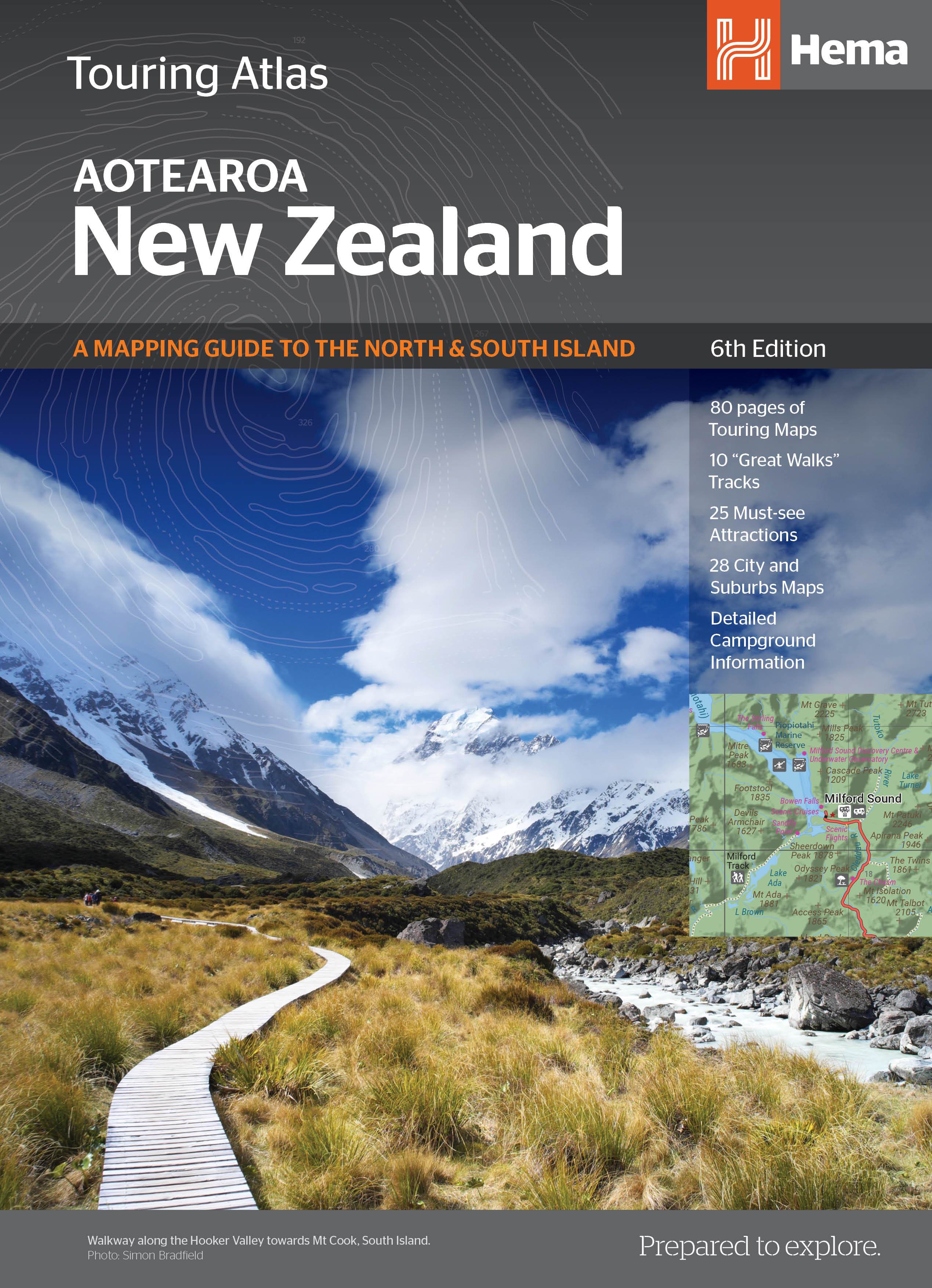
Uitstekende wegenatlas van zowel Noord als Zuid eiland met goed leesbare kaarten, met stadsplattegronden en afstandstabel. In ringband, A4 formaat / Engelstalig. Met 80 pagina's wegenkaarten, 26 stadsplattegronden, volledig ge-updated, met campings en veel ingetekende details. Tour the land of the long white cloud with New Zealand’s clearest and most up-to-date maps – the hard work's all taken care of. There's something for every kind of traveller among these meticulously crafted maps and guides, with more than 1500 motorhome parks, adventure activity locations, camping grounds and additional city and national park maps. All presented in an easy to read, easy to store format – finally putting an end to back-road map rage. With so much to see and do you'll be glad to have this comprehensive travel companion at your side, helping you cut down the planning time so you have time to explore! Product Features • 80 pages of touring maps • 10 “Great Walks” tracks • 25 must-see attractions • 28 City Maps • Detailed campground information What's New in This Edition • New cartographic look and feel • Updated parks and facilities • 8 additional regional maps (NZ Atlas) • Extensive and updated information on the NZ “Great Walks”
€34,95
Bekijk product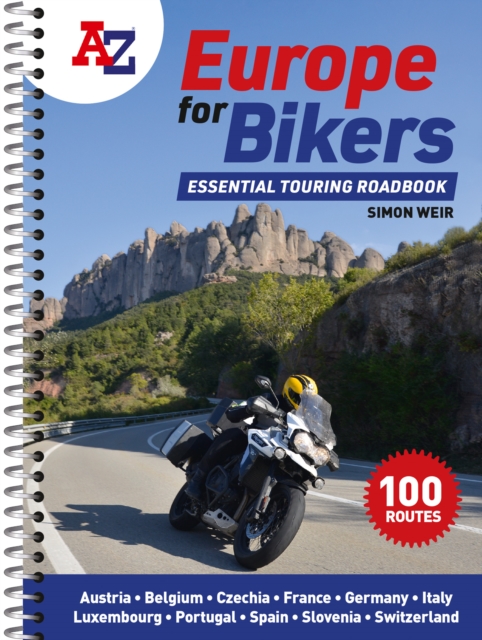
Discover the best biking routes around Europe. The definitive European motorcycle touring bible, with the best biking roads presented in 100 easy-to-follow, tried-and-tested routes from motorcycle journalist, author and traveller Simon Weir. From the peaks of the Picos de Europa to the sun-kissed shores of Sicily, from Alpine passes to dramatic gorges, atmospheric forests and fabulous historic sites, A-Z Europe for Bikers is packed with fantastic places to ride. With full-day and multi-day touring rides across the whole of western Europe, each route is presented with turn-by-turn directions and detailed mapping, with all the key attractions highlighted. Printed on high-durability paper and spiral bound to fit in a tankbag, you need never end up on a dull road again. Packed with practical advice and stunning photography, there are memorable rides to be discovered in every corner of Portugal, Spain, France, Belgium, Luxembourg, Germany, Austria, Czechia, Switzerland, Slovenia and Italy. Features include: 100 great biking routes to discover on your European adventureClear, detailed maps to help you planRoutes for short days and long daysIdeal size for fitting in a tank bag
€20,95
Bekijk product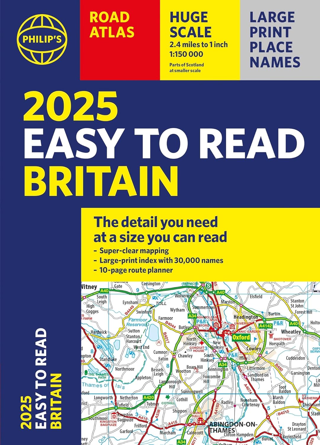
"The detail you need at a size you can read". The latest 2025 Philip's Easy to Read Road Atlas of Britain from the best-selling Road Atlas range has over 350 pages packed with exceptionally clear mapping and everything you need for exploring Britain. Now available as a practical paperback, it will enhance any trip. · Clear maps packed with extra details for a better journey · Huge 1:150,000 scale (approx 2.4 miles to 1 inch) · Large print place names · Large print index · Super-clear 10-page route planner to create the best journeys · Thousands of attractions clearly mapped, including castles, theme parks, gardens, zoos and more. · London's expanded ULEZ clearly shown on approach mapping At last, a road atlas that everyone can read easily, in or out of the car, no matter what the conditions. With up-to-date mapping technology, your travels have never been easier to plan. This edition contains a wealth of useful information, including tourist attractions, to ensure the best possible journey. Whether it's dark, or if you just can't find your glasses, the 2025 Philip's Easy to Read Road Atlas of Britain is the ultimate road companion.
€22,50
Bekijk product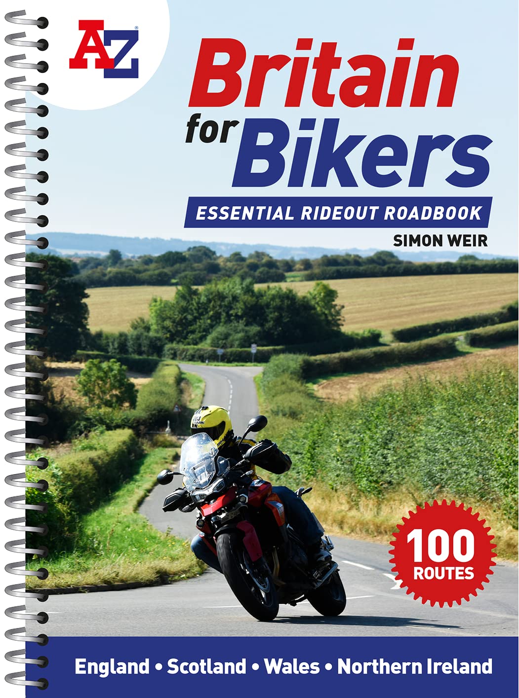
Discover the best biking routes around Great Britain and Northern Ireland. Your essential rideout roadbook covering the best biking routes around Great Britain and Northern Ireland, including short trips and longer tours. Discover the best motorcycling roads around Great Britain and Northern Ireland, chosen by the biking route expert, Simon Weir. Each one is explained in depth with all key attractions highlighted in the detailed A-Z mapping. Stunning photographs and easy-to-follow road book directions throughout. * Simple turn-by-turn directions and clear maps for every route * Ideal size for fitting in a tank bag * Short, practical rides for the weekend, most lasting 1-2 hours * Comprehensive coverage of every corner of the country * 100 great rideouts to discover with your friends
€20,95
Bekijk product