
Beantwoord enkele vragen, en binnen seconden geeft AI je een persoonlijk aankoopadvies op maat.
Beantwoord enkele vragen, en binnen seconden geeft AI je een persoonlijk aankoopadvies op maat.
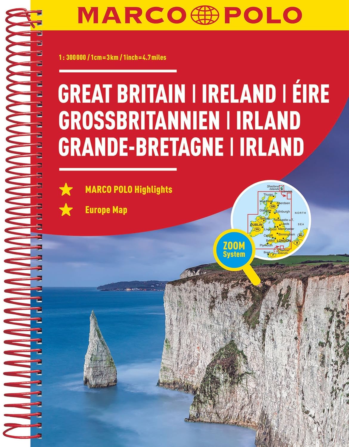
Goede wegenatlas met gedetailleerde kaarten. Alle wegen staan erop vermeldt plus onverharde wegen. Pittoreske weggetjes die de moeite waard zijn, zijn groen gearceerd. Alle toeristische informatie, ook campings zijn er prima op te vinden. Uitgevoerd in ringband, met register, afstandstabel een plaatsnamenregister zit bij de kaart. Van de belangrijkste steden zijn aparte stadsplattegronden toegevoegd. Iets groter dan A4 formaat. Der MARCO POLO Reiseatlas zeichnet sich durch moderne Kartographie aus und bildet Großbritannien und Irland im optimalen Maßstab 1:300 000 ab. Mit Highlights aus Kultur und Natur und landschaftlich schönen Strecken wird dein Roadtrip damit zum echten Erlebnis. Länder- und Reiseinformationen bewahren dich vor dem Knöllchen, und das praktischen Zoom-System bietet von der Europakarte bis zum Stadtplan immer das richtige Kartendetail, sowohl für die Planung als auch während der Fahrt.
€15,49
Bekijk product
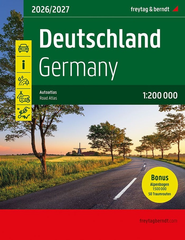
Wegenatlas op A4 formaat en spiraalband, in extra grote letters; met duidelijke, goed leesbare kaarten met reliëfschaduwen; informatie over belangrijke bezienswaardigheden; uitgebreid plaatsnamenregister; gedetailleerde informatie over wegen, zoals tolwegen, pittoreske routes, privé wegen; informatie over campings; afstandenvermelding; plattegronden van de belangrijkste steden; regionale kaarten; schaal 1:200-400,000 Der Straßenatlas Deutschland 1:200.000, 2026/2027 ist der ideale Begleiter für alle, die in Deutschland mit dem Auto unterwegs sind und dabei nicht nur die Autobahn nutzen möchten. Er ist ideal für die Planung und erweist sich auch während der Reise als unverzichtbare Orientierungshilfe. Mit dem detailreichen Kartenbild und dem genauen Maßstab lassen sich auch weniger befahrene Nebenstraßen entdecken, die in Übersichtskarten meist gar nicht eingezeichnet sind. Landschaftlich schöne Strecken sind farblich hervorgehoben. Im Kapitel "Traumrouten" werden 50 der schönsten Routen Deutschlands auf 20 Seiten beschrieben. Informationen zum Straßenatlas Deutschland 2026/2027Deutschland 1:200.000Alpenbogen 1:500.000Europa 1:3,5 Mio.Spiralbindung verdeckt50 Themen- und FerienstraßenCamping- und StellplätzeReduzierter Index (Gesamter Index online abrufbar)312 Seiten, Format 23 x 29,7cm Der beste Autoatlas für Deutschland Das dichte Straßennetz ist exakt abgebildet, landschaftlich schöne Strecken und Touristenstraßen sind farblich hervorgehoben und viele Ausflugsziele sind in der Karte eingezeichnet. Auto- und Motorradfahrer schätzen die exakte Kartographie von freytag & berndt besonders für die Planung und Orientierung vor Ort. Damit die Reise auch mit Wohnmobil, Wohnwagen oder Camper gut planbar ist, sind alle Camping- und Stellplätze im Atlas eingezeichnet. 50 Traumrouten "Raus aus dem Alltag, entschleunigen und die Landschaft genießen" lautete die Devise bei der Auswahl der 50 beschriebenen Themen- und Ferienstraßen. Sie verteilen sich über ganz Deutschland und spiegeln mit ihren unterschiedlichen thematischen Schwerpunkten die Vielfalt der Bundesrepublik wider.
€19,95
Bekijk product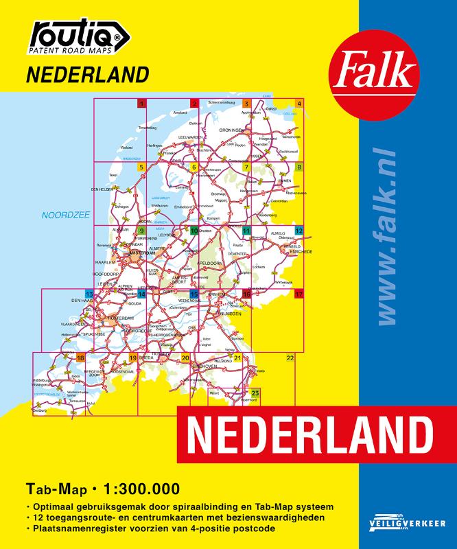
De meest gebruiksvriendelijke wegenkaart van Nederland is ongetwijfeld de Falk Routiq Tab Map. De Routiq Tab Map bladen zijn in een handige ringband gebonden, waar je op de rechterzijde inzoomt op het gebied waar je je bevindt en de linkerzijde geeft aan waar je je globaal bevindt. Het perfecte formaat van de individuele kaarten maakt dat je deze gemakkelijk kunt lezen in de auto. De nummer 1 wegenkaart voor professionele bestuurders! De meest actuele kaart van Nederland Optimaal gebruiksgemak door het Tab Map systeem Wire-O Spiraalbinding. Uitgebreid met toegangsroute- en centrumkaarten met Insider Tips Plaatsnamenregister, afstandentabel
€19,99
Bekijk product

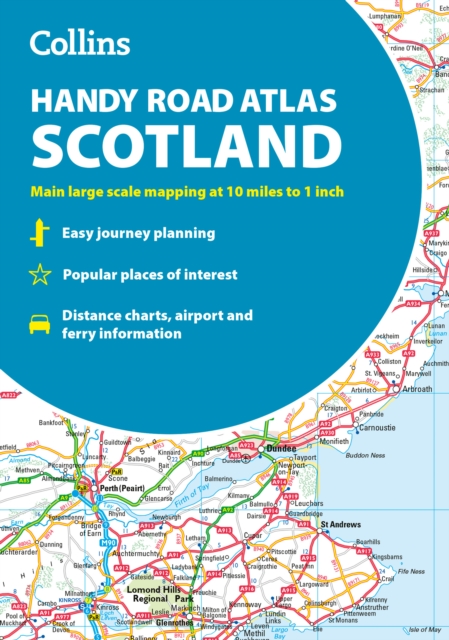
Discover new places with handy road atlases from Collins. Your ideal companion for navigating around Scotland. It has extremely clear, route planning maps of Scotland, detailed city plans of the major cities and towns and fits neatly into your glovebox, briefcase or bag. Main features Clear, attractive route planning maps of the whole of Scotland supported by comprehensive, fully indexed city centre street maps of Aberdeen, Dundee, Edinburgh, Glasgow, Inverness and Perth. Scale of main maps: 1:625,000 (9.9 miles to 1 inch). Also includes * Places of tourist interest are highlighted * Attractive layer colouring showing land height * Road network fully classified and colour coded * Detailed street mapping of Edinburgh, including the Royal Mile with all its attractions clearly marked, Leith and Holyrood Park * Detailed street mapping of Glasgow, including the West End, city centre and M74 extension * Detailed street mapping of Aberdeen, including the bypass * Street maps, with indexes, of Dundee, Inverness and Perth city centres * Handy distance calculator chart highlighting distances between the major towns * Administrative areas map showing council areas * Transport connections section listing all the airports and details of all vehicle ferries into and within Scotland Area of coverage Covers the whole of Scotland and part of northern England, extending down to Kendal and Scarborough in the south.
€12,95
Bekijk product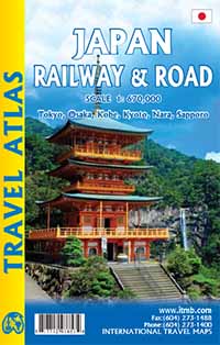
Wegenatlas in handig A5 formaat. Prettig leesbaar. Travel to Japan is growing in leaps and bounds and our basic difficulty with a map is that the country is so concentrated with urban areas that it is difficult to portray the country’s features so that anyone could read them. By using the book format, we have been able to expand the scale to a much more usable size and add double-page sized insets of Tokyo, Kyoto, Nara, Osaka, and Kobe. Legend Includes: Railways, roads by classifications, distances between points, shrines and temples, rivers, lakes, hot springs, national parks, beaches, hotels, universities, airports, places of interest and other information
€16,50
Bekijk product