
Beantwoord enkele vragen, en binnen seconden geeft AI je een persoonlijk aankoopadvies op maat.
Beantwoord enkele vragen, en binnen seconden geeft AI je een persoonlijk aankoopadvies op maat.

Looking for inspiration to hit the open road? Fancy exploring the best routes Britain and Ireland has to offer? This user-friendly atlas is designed to make your road trips both effortless and exhilarating. Why not embark on an unforgettable adventure with Philip's Great Road Trip Atlas and satisfy your inner explorer? Or perhaps you fancy a delightful meander through valleys and dales, or skirting snow-capped mountains and ending up cruising along the coast? Wherever you want to travel, we have the inspirational mapping, route planning tools and essential information that you need to set off on the open road. * Featuring specially easy-to-read maps and clear directions * Navigating through scenic routes and bustling cities has never been easier * Discover charming roadside attractions and picturesque villages alongside dramatic scenery and wildly thrilling drives. * From the North Coast 500 in the Highlands to the Atlantic Highway in Devon and Cornwall, or the Wild Atlantic Way in Ireland, Philip's Great Road Trip Atlas ensures that every mile is filled with excitement and discovery. So fasten your seatbelt, wind down the windows, and embark on the road trip of a lifetime or just a restorative roll through the countryside. There's an adventure around every bend - are you ready to hit the open road?
€12,95
Bekijk product
Atlas van de alpen door Marco Polo, bevat zuid-oostelijk deel Frankrijk, Zwitserland, Oostenrijk, Slovenië, noorden van Italië tot voorbij Rome, groot gedeelte van Kroatie en kleine delen van de omliggende landen op schaal 1:300.000. Praktische en toeristische informatie is op de kaarten aangegeven. Inclusief 22 plattegronden van belangrijke steden en kaartenmateriaal van overig Europa op schaal 1:4.500.000.. In spiraaluitvoering. Marco Polo: Mit landschaftlich schönen Strecken und Sehenswürdigkeiten. Übersichtskarte zum Ausklappen, Entfernungstabelle, Ortsregister, 22 Citypläne, Europateil. 1: 300.000, Europa 1 : 4.500.000
€17,50
Bekijk product
The definitive guidebook for discovering Tasmania, featuring the Top 15 4WD Trips of the State and 5 of the best walking tracks. This first edition Tasmania Atlas & Guide contains 40 atlas pages at a large scale of 1:150 000 in a stunning cartographic style. The guide features the Top 15 4WD Trips for Tassie, which has been field checked by Hema's Map Patrol. Also included is an introduction to the region, as well as information sections on planning the trip and what to see and do. There are detailed touring sections on the distinct regions of Tasmania. The Top 15 4WD Trips are broken into their respective localities, with each trip containing comprehensive trip information including gradings, distances, relevant travel information and drive coverage from start to finish. Key Features 40 atlas pages at a scale of 1:150 000 Top 15 4WD Trips Top 5 Walking tracks Best campsites Adventure activities Trip planning tips
€45,95
Bekijk product
Wegenatlas, met spiraal, van Groot-Brittannie, Engeland, Wales en Schotland, met toeristische informatie This top-selling road atlas showcases Britain’s clearest mapping from the experts at the AA at a large 3.2 miles to 1 inch scale. Each page has been titled with its geographical location so you can turn to the page you need more easily. Wide and narrow minor roads, National Trust, English and World Heritage sites and hard-to-find places are shown. There are 112 city, town, port and airport plans, full colour country, unitary and administrative area map and a comprehensive 31,500 entry index with airports, top tourist sites and motorway services listed. Plus, scenic routes, over 1,800 golf courses and the top 300 AA-Inspected caravan and camping sites symbolised on the mapping. Motorway maps, ferry planning information and 5 district maps provide the essential motoring content for travelling the country. 10 pages of central London street mapping with index. District maps of Birmingham, Glasgow, London, Manchester and Tyne & Wear. 6 page clear Route Planner map.
€24,95
Bekijk product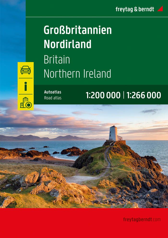
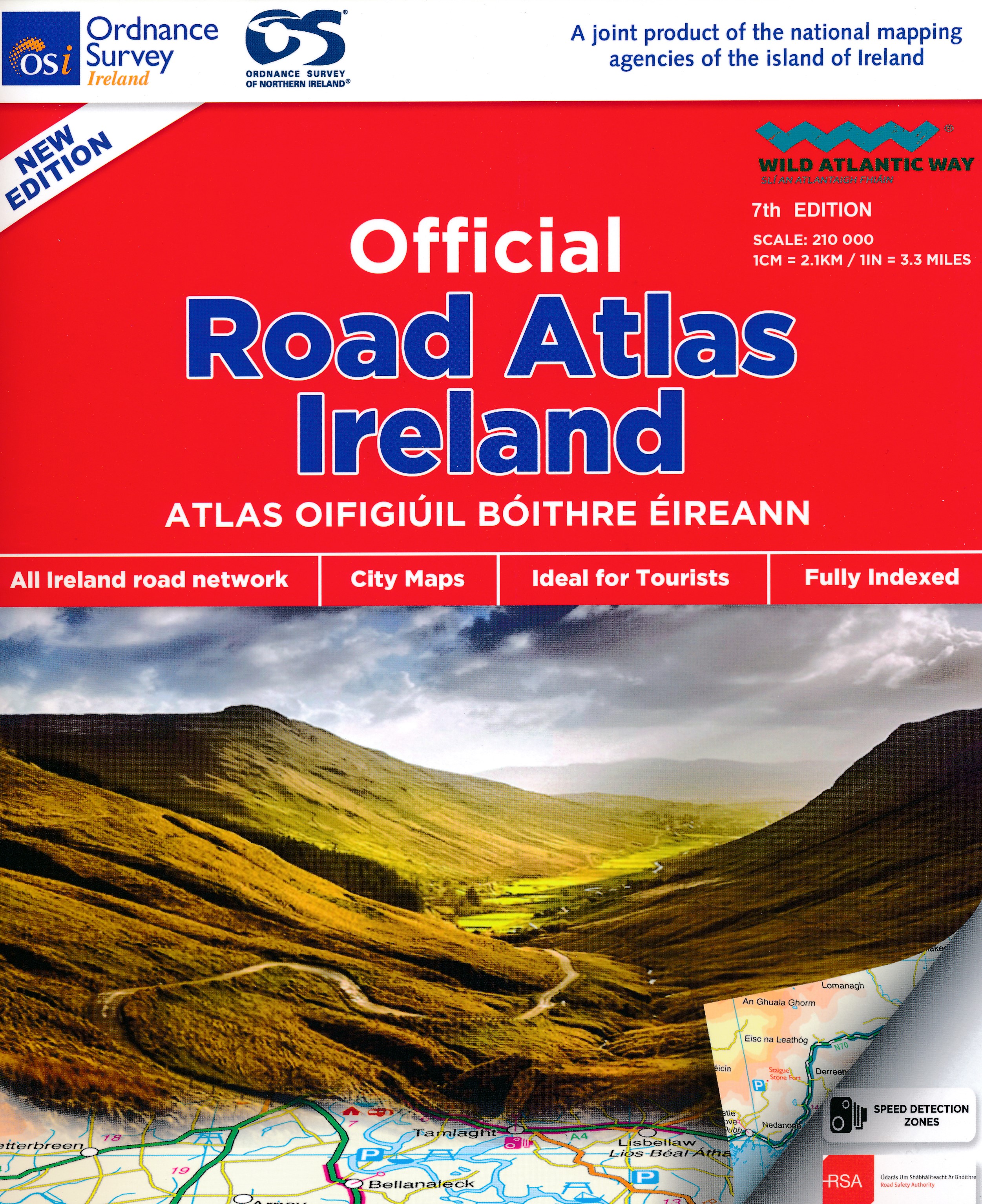
Mooie atlas met bijzonder kleurgebruik. Hoogte wordt hierdoor zeer duidelijk weergegeven. Met alle noodzakelijke en toeristische informatie, afstandentabel, stadsplattegronden en register . In ringband uitgevoerd tussen A4 en A5 qua formaat. This road atlas contains detailed road maps of the whole of Ireland. In addition it also contains City and Town Maps, Touring and Motoring information, a distance chart, full gazetteer and the location of every Golf Union of Ireland golf course.
€24,95
Bekijk product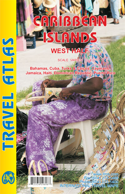
Wegenatlas voor de westelijke Caraïbische eilanden - verschillende schalen : Bahamas, Turks- en Caicoseilanden, Cuba, Kaaimaneilanden, Jamaica, Dominikaanse Republiek, Puerto Rico. Met inzetjes van Freeport, Nassau, Havana, Varadero, Georgetown, Kingston, Port-au-Prince, Santo Domingo, San Juan The Caribbean is a particularly difficult part of the world to map effectively. It is a combination of larger islands in the west and a string of small islands in the east. Some can be shown as separate maps, but others are too small (or too lacking in market appeal) to be mapped adequately as folded paper maps. This atlas covers the Bahamas and the Turks and Caicos Islands in the north with Cuba, the Cayman Islands, Jamaica, the Dominican Republic, and Puerto Rico in scales ranging from 1:18,000 for Puerto Rico to 1:600,000 for Cuba The atlas is the same size as all ITM atlases (8''x5'' or 21x13.5cm) and has a straight spine edge with title for displaying spine outwards on store shelves, if desired. Essentially, this atlas covers six different areas mapped by ITMB folded maps and adds the Turks area. Inset maps of Freeport, Nassau, Havana, Varadero, Georgetown, Kingston, Port Au Prince, Santo Domingo, and San Juan are included. The level of detail is identical with ITM's folded maps; this is a marketing concept for those wishing the convenience of information in a convenient book format, with no loss of detail. Legend Includes: Roads by classification, International Boudaries, Time Zone Border, Points of interest, Historic site, Hotels, Museums, Golf courses, Restaurants, Caves, Lighthouses, Gas Stations, Waterfalls, Hotsprings,Hospitals, Historical Sites, Tourist information, Mountain Peaks, Churches,Schools, Embassies,Shipping Centers, Banks,Railway Stations, Bus Terminals, Police Station,Universities, Post Offices,Ferries, Parkings and much more
€16,50
Bekijk product
Wegenatlas - A5 formaat - verschillende schalen - voor de het Noord-Amerikaanse gedeelte van de Pan-Americana ( Pan-American Highway ) van Alaska langs the Pacific kust van British Colombia in Canada, de staten Washington, Oregon en Californie, Mexico, Guatemala tot Panama. The Pan-American Highway was created by the USA to improve road communications within the Western Hemisphere post-WW2. The highway started at the Mexican border and eventually reached somewhere south of Santiago in Chile. It was a vote-buying gimmick by the Americans to fund allies, but it also created an essential 'spine' road through Central America to the Darien Gap and along the west coast of South America to the then-limits of Chile. Driving the Pan-Am has become a travel experience. More recently, the improvement in more northerly highways, such as the Dalton Highway from Fairbanks to Prudhoe Bay in Alaska, the paving of most of the Stewart Highway through British Columbia, and the tremendous improvement in highway infrastructure in Mexico over the past two decades, has made possible the long-awaited Panamericana Adventure Highway. Stretching from the Arctic Ocean at Prudhoe Bay south to the famous Alaska Highway, then east into Canada's Yukon, the Panamericana takes a westerly route along the coast and an easterly route through Edmonton and south to Texas. The western route is more interesting, in that much of it runs through pristine mountain wilderness. We have chosen the western route for this atlas, following the Pacific Coast as closely as possible through BC, Washington/Oregon/California to Tijuana. From here, the route can follow south through Baja California or head east and south along the eastern side of the Gulf of Colorado, past Mazatlan and Acapulco to join the original Pan-American at the Guatemala border. From Guatemala south to Panama, the Panamericana North (or Norte) is the original and well-maintained Pa-Am. The Darien Gap still prevents the North and South segments from joining, but this is more a political issue than a technical one. This is an epic atlas covering an epic journey. As often is the case with ITMB, this is another unique title of an interesting part of the world. We plan to do a South edition at a later date. Legend Includes: Roads by classification, International Boudaries, Time Zone Border, Points of interest, Historic site, Hotels, Museums, Golf courses, Restaurants, Caves, Lighthouses, Gas Stations, Waterfalls, Hotsprings,Hospitals, Historical Sites, Tourist information, Mountain Peaks, Churches,Schools, Embassies,Shipping Centers, Banks,Railway Stations, Bus Terminals, Police Station,Universities, Post Offices,Ferries, Parkings, Stadium and much more
€16,50
Bekijk product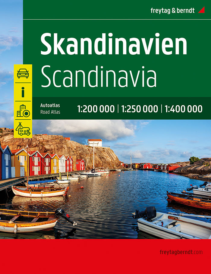
Zeer goed leesbare wegenatlas van Noorwegen, Zweden en Finland. Met vele symbolen wordt veel informatie, o.a. campings, veerdiensten en (jeugd-)herbergen gegeven. Een groot deel van Scandinavie op een schaal van 1:250.000, Finland en het noorden van Zweden en Noorwegen in 1:400.000. DUI/DEN/NED in 400.000 schaal er bij. Enige echte nadeel is het gewicht van deze dikke atlas! De berijdbare wegen zijn goed weergeven, zowel de hoofdwegen als provinciale en lokale wegen; wegnummers worden vermeld. Afstanden tussen plaatsen zijn in kilometers op de kaart ingetekend, daarnaast worden ook op belangrijke plekken benzinepompen gemarkeerd. In het kaartbeeld wordt door middel van schaduw het reliëf weergegeven en soms enkele punten in het landschap met de daadwerkelijke hoogte. Provinciegrenzen zijn goed terug te vinden, nationale parken en reservaten ook. Met allerhande symbolen worden toeristische bezienswaardigheden weergegeven als monumenten, historisch belangrijke plekken en uitzichtpunten. In bepaalde plaatsen zijn hotels en campings te vinden, luchthavens, treinverbindingen en havens vindt u er ook op! Der Straßenatlas Skandinavien 1:200.000 - 400.000 ist der richtige Begleiter für alle Urlauber die mit dem Auto im hohen Norden unterwegs sind und auch die Gegend links und rechts der Autobahn kennenlernen wollen. Er ist ideal für die Planung und erweist sich auch während der Reise als unverzichtbare Orientierungshilfe.
€39,50
Bekijk product