
Beantwoord enkele vragen, en binnen seconden geeft AI je een persoonlijk aankoopadvies op maat.
Beantwoord enkele vragen, en binnen seconden geeft AI je een persoonlijk aankoopadvies op maat.

Mooie, overzichtelijke wegenkaart van de snelwegen in Amerika. Handig als je grote afstanden in het land moet afleggen. Our soft-laminated folded map of the USA in the 9th edition shows: USA West, USA East, Hawaiian Islands, Puerto Rico each 1:4 000 000, Alaska 1:8 000 000, USA administrative & time zones. Borch Maps are easy to fold, durable and water-repellent with a wipeable surface. Borch Maps show hotels, museums, monuments, markets, public transport, top sights and points of interest, useful statistics, conversion charts for temperatures, weights and measurements, climate charts showing temperatures, sunshine hours, precipitation and humidity, overview maps, time zones, and much more... "Get your motor running, head out on the highway"! The Interstate highway system (officially the "Dwight D. Eisenhower National System of Interstate and Defense Highways") authorized by the Federal Aid Highway Act of 1956 and supported by former US President Eisenhower who had been impressed by the German Autobahn system, is a network of roadways interconnecting the nation. It was originally intended as part of a national defense system by which goods and arms could be transported cross-country in case of a national emergency. Today the nearly 47 thousand miles (75,000 kilometers) of road are mostly used by vacationers, tourists and commuters. Nowadays it would be unthinkable to get by without the Interstate. From shore to shore, from border to border, the Interstate connects the whole country.
€11,50
Bekijk product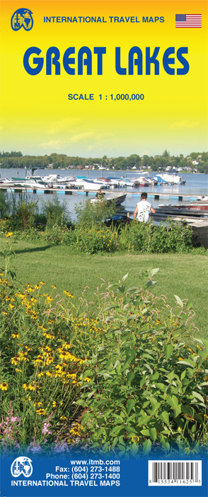
To North Americans, there is only one "Great Lakes" - the waterway stretching far into the interior of the continent from the Gulf of St. Lawrence to the tip of Lake Superior. This vast region has exerted a fundamental hold on the development of both the USA and Canada; first as a canoeing trade route for trapping furs, then as a means of settlement, and now as a water route to move products to world markets. The region is also densely populated with well-known touristic cities and attractions, and houses in excess of 100,000,000 people. Surprisingly, until now, there has never been a map for this interesting and historic part of the continent. Using this map, one can explore Lakes Ontario and Erie as circular routes; also Huron and Superior; visit Ottawa and Toronto, Chicago and Duluth, and find Fort William or the Wawa Goose. This is a double-sided map covering from Ottawa in the north to Pittsburgh and Columbus in the south and Duluth and Thunder Bay in the west. Both Canada and the USA portions of the Great Lakes Region are included. Legend Includes: Roads by classification, Airports, Ferrie routes, States boudaries, border crossing, Time zones, State parks with or without campsites, Campsites, Wayside or Roadside parks, Hospitals, Museums, Tourist information centers, Points of interest, , Churches, Points of Interest, Waterfalls, zoos, World heritage sites, Viewpoints, Lighthouses, Hot springs, Mines and quarries, Native American reserves, Mountain peaks, Caves, Universities, Beaches, Skiing, Tennis courts, Golf courses and much more.
€13,95
Bekijk product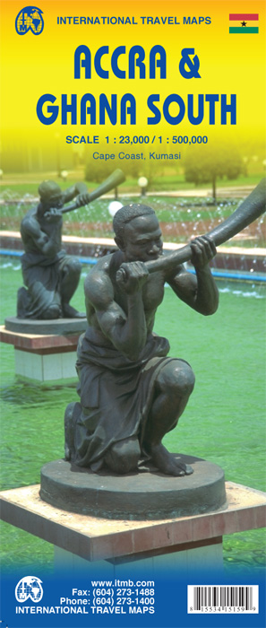
Ghana was the first African colony to become an independent nation, in 1957. It may not be the largest, most populous, or richest country on the continent, but it is one of the best-managed and prosperous democracies. One seldom hears about Ghana on the news as a result, because there is seldom bad news to report! Accra is one of the oldest cities in sub-Saharan Africa, and the coast of Ghana is littered by historical remnants of trading forts built by the Portuguese, the Dutch, and the British during the age of expansion. Accra itself is an interesting city and our motivation in publishing a map of it is simply the reality that no map existed prior to this effort. The regional map shows Ghana's coastline to advantage and the interior of the country as far north as Kumasi. Legend Includes: Roads by classification, Airports, Aerodromes and small aircrafts, Ferries, Bus terminals, Railway stations, Gas stations, Border crossing and custom posts, Hospitals, Museums, Tourist information centers, Points of interest, Ruins and archeology sites, Castles or forts, Churches, Mosques, Points of Interest, Viewpoints, Mines, Restaurants, Theatres, Banks, Embassies, Libraries, Shools, Universities, Shopping centers, Hotels, Notable buildings, Lodges, Campsites and huts, Wildlife reserves, Mountain peaks, Non-active volcanoes, Beaches, Waterfalls, Watersports, Golf courses, Radio towers, Stadiums and much more.
€13,95
Bekijk product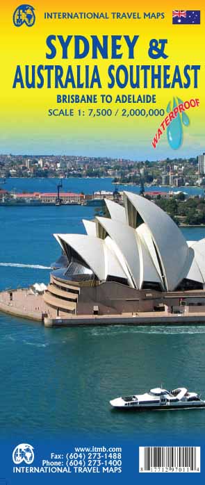
Plattegrond van Sydney, schaal 1:7.500, met aan de andere zijde een overzichtskaart van zuidoost Australië, schaal 1:2.000.000 Sydney is probably the best-known city in Australia and this map benefits from trips we have taken to ground-truth the information. It is attractive, pertinent, and easy to use as a map. As with many of our international city maps, we have re-worked this title into a double-sided map with the souteastern half of Australia on the reverse side. As with many of ITMB's map this edition is freshly printed on waterproof paper, more for its durability in the case of Australia than humidity. Legend Includes: Roads by classification, International Airports, Airports, Ferry lines, Boat-Ferry docks, Railways, Railway stations, Bus terminals, Bicycle Trails, Foreshore trail systems, Pedestrian streets, Staircases, Small Nature reservesm Zoos, Fishing, Caves, Camps sites, Accomodation, Tourism information centers, Museums, Live Theatres, Cinemas, Post offices, Police Stations, Shopping centers, Schools, Universities, Hospitals, Churches, Mosques, Synagogues, Buddhist temples, Stadiums, Playing fields, Golfing, Beaches, Points of interest, Ruins, Aboriginal settlements, Lighthouses, Castles, Palaces, Unesco World Heritages Sites, Mines, Oil, Gas wells, Moutains, and much more...
€13,95
Bekijk product
Coverage is from Vancouver to Tijuana to Las Vegas, and information includes rest areas, parks, touristic attractions and the like, as well as detailed road information. There are no inset maps on this title, which also makes a very nice wall map of the west coast! Legend Includes: International Boundary, State Boundary, County Boundary, Interstate Hwy, Freeway / UC, Toll Hwy / UC, Multilane Hwy / UC, US Divided Hwy, Two lane road / State Highway, Other Road / Track, Pacific Crest Trail, Ferry Route, Time Zone, Mountain peak (feet) State Park, National Forest, National Park, Exit Number and approx. distance between two exists (dist. in miles), Approx. Road Distance (in miles), Interstate Highway, United States Highway, State Highway, Historic Route 66, Large Urban area, State Capital, More than 250,000, 85,000 - 250,000, < 85,000, Town, River / Lake, Salt Lake, Indian reserve, Military property area, Rest Area, Lodge, Point of Interest, Natural Point of Interest, International Airport, Domestic/Regional Airport, Information Center, Golf Course, Hot Spring, Port of Entry / Border Crossing, Gas Station / Service Area, University of College, Museum, Skiing, Lighthouse, Beach, Cave, Campsite, Wayside or Roadside park, Indian Area, Spring, Waterfall, Ranger station, Viewpoint, Harbor, Mountain pass, Monument, Nature Reserve, World Heritage site, Spanish Mission, Mine / Quarry, Dam, Snowpark / Winter Rec, State Park with campsites, State Park without campsites,and much more...
€13,95
Bekijk product
Bijzonder goed leesbare kaart van een deel van de Verenigde Staten - USA, in dit geval het gebied van de staten Californie en Nevada. Op deze kaart zijn de Nationale Parken goed zichtbaar ingetekend met een heldere achtergrondkleur. Wegnummers, register, afstanden tussen steden en bijvoorbeeld de beroemde groene wegenaanduiding van Michelin ontbreken niet. Met stadsplattegronden (alleen het centrum) van Las Vegas, Los Angeles, Phoenix, Salt Lake City, San Diego en San Francisco Michelin USA California, Nevada Map 174 (scale: 1:1,267,000)—part of Michelin's brand-new US regional map series with bright green covers—zooms in close for comprehensive coverage of California and Nevada, as well as western Utah and Arizona. It contains city maps for easy driving in Las Vegas, Los Angeles, Phoenix, Salt Lake City, San Diego and San Francisco. Michelin star-rated sights and a selection of not-to-be-missed annual events and festivals serve as inspiration for future road trips. Outdoor enthusiasts can choose from multiple national parks for scenery and activities: Bryce Canyon, Channel Islands, Death Valley, Grand Canyon, Great Basin, Joshua Tree, Kings Canyon, Lassen Volcanic, Pinnacles, Redwood, Sequoia, Yosemite and Zion. The QR code on the front cover offers even more travel information on destinations through Michelin's ViaMichelin website. The map includes a comprehensive index, a distance chart, and a multi-language legend in English and Spanish. Those traveling for business or pleasure, as well as locals traveling farther afield, will appreciate Michelin's high standard of clear and accurate mapping and the additional information on parks, events and points of interest to make the journey more enjoyable. Californie, Las Vegas, Los Angeles, Nevada, Phoenix, San Diego, San Francisco
€10,95
Bekijk product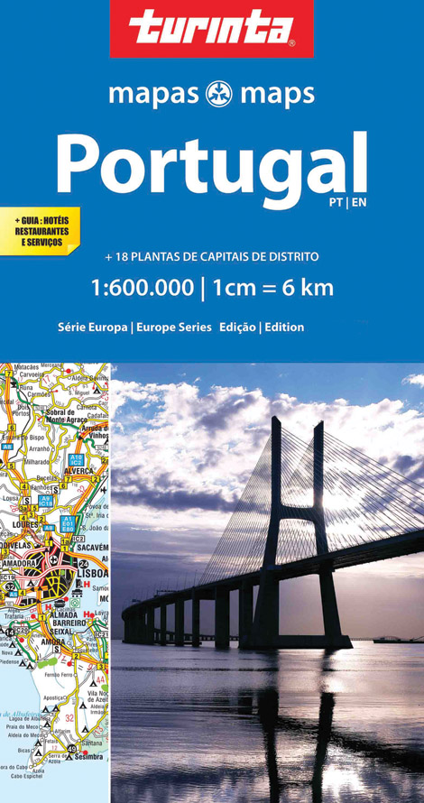
Landkaart van heel Portugal, duidelijk leesbaar. Ondanks de wat grove schaal toch heel wat details, met afstandsaanduidingen, nationale parken en register. Deze kaart is met name goed als het gaat om aanduiding van campings, sommige hotels en poussadas. Daarnaast staan op de achterzijde centrumkaarten van diverse steden.
€11,50
Bekijk product
Duidelijke wegenkaart met wegnummers, grote en kleine plaatsen, spoorlijnen, veerverbindingen, toeristische informatie en bezienswaardigheden. Met plaatsnamenregister. Op de achterzijde bevinden zich ondermeer 10 stadsplattegronden Offizielle Strassenkarte Touring Club SchweizKümmerly+Frey mit dem Touring Club Schweiz gemeinsam auf Schweizer-Strassen! Diese Strassenkarte bringt Ihnen zahlreiche Vorteile: - modernste digitale Kartografie - aktuelles und übersichtliches Kartenbild - unvergleichbare Schweizer Qualität - wertvolle touristische Informationen und Sehenswürdigkeiten - 4-sprachige Legende - 13 Stadtübersichtspläne Begleitheft mit Ortsindex und PLZ, Reiseinformationen, Distanztabelle, Verkehrssicherheit TCS Massstab: 1:301 000
€20,50
Bekijk product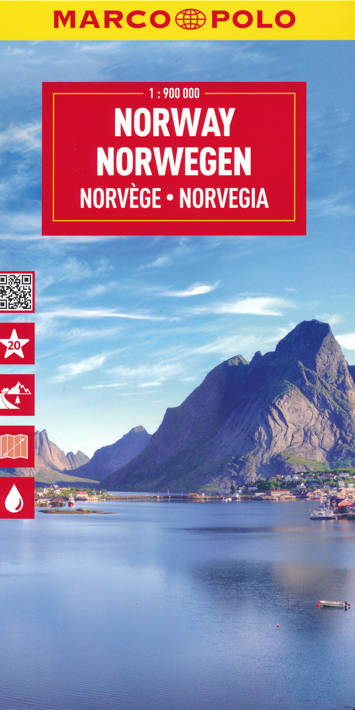
Uitstekende kaart van Noorwegen . Met informatie als benzinepompen, kilometerafstanden, toeristische symbolen. Met index en enkele stadsplattegronden. De kaart dekt ook Zweden, Denemarken en een klein gedeelte van noord Duitsland en Finland This Marco Polo map of Norway features really easy to read cartography. Topography is highlighted with relief shading and loads of spot heights and the road network is clearly shown with roads ranging from motorways all the way through to minor secondary roads. The map also clearly indicates airports, places of interest, scenic/tourist routes, view points etc. The map includes a booklet attached to the cover that contains some useful information and a very extensive index that covers locations, places of interest and geographical features. Also included are a distance/driving time chart, a fold out flap on the cover with an overview map of the region covered and 6 reasonably detailed enlargements showing the major cities in the region. A unique feature of the Marco Polo maps is "mark it" stickers, a set of seven reusable stickers (ie they don't damage the map when removed and placed elsewhere) that can be used to highlight interesting places, the route you plan to take (to make navigation easier), or whatever you want really. The legend is in a multitude of languages including English.
€14,95
Bekijk product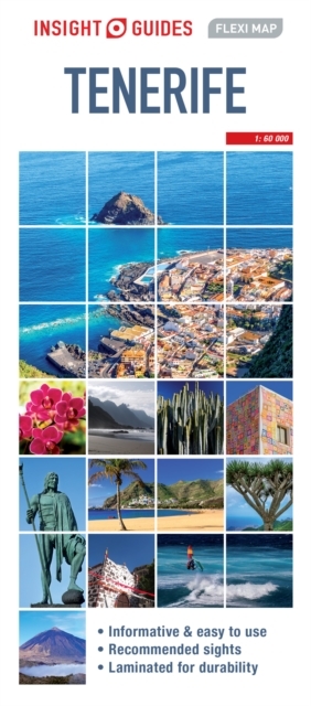
Geplastificeerde kaart van Tenerife, met register. Voor de 'gewone' toerist een handige kaart, geen groot formaat, overzichtelijk met alle belangrijke plaatsen goed weergegeven. Insight Fleximap Tenerife combines a laminated finish, clear cartography and travel information. In addition to the main map of Tenerife and street plans of Santa Cruz and Puerto de la Cruz, there are also maps of the neighbouring island of La Gomera and the Canaries as a whole. The mapping is complemented by a descriptive list of recommended sights and essential tourist information.
€9,95
Bekijk product