Beantwoord enkele vragen, en binnen seconden geeft AI je een persoonlijk aankoopadvies op maat.
Beantwoord enkele vragen, en binnen seconden geeft AI je een persoonlijk aankoopadvies op maat.
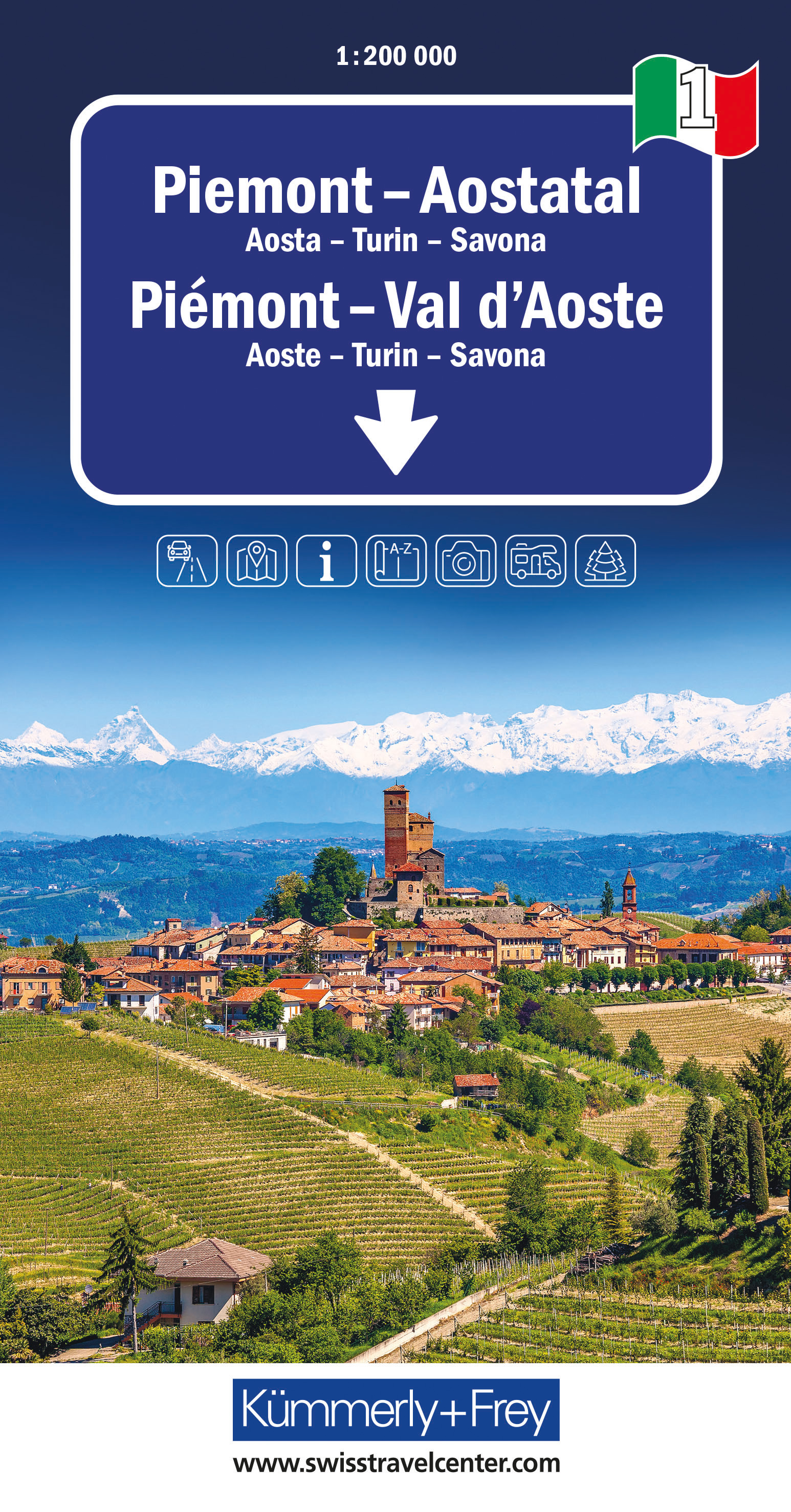
Goede wegenkaart van een deel van Italie. Mooi kleurgebruik geeft de kaart een natuurkundig beeld met veel toeristische informatie. Gebaseerd op de kaarten van de Italiaanse anwb. Vrijwel elke info is er op te vinden, maar helaas geen campings. (kaartno. 1381) Optimale Orientierung - die Regionalkarten helfen weiter Mit den Regionalkarten von Kümmerly+Frey fühlen Sie sich auch in den Ferien wie zu Hause. Sie wissen immer, wo Sie sind und wie weit es bis zur nächsten Sehenswürdigkeit ist. Die Regionalkarten sind Lizenzausgaben namhafter kartografischer Verlage. Es gibt sie von folgenden Ländern: Deutschland, Österreich, Italien, Frankreich, Grossbritannien, Spanien/Portugal, Norwegen, Schweden und Dänemark. Beachten Sie dazu die detaillierten Blattschnitte. Massstab: 1:200 000
€13,50
Bekijk product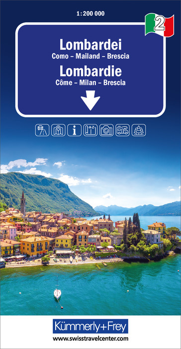
Goede wegenkaart van een deel van Italie. Mooi kleurgebruik geeft de kaart een natuurkundig beeld met veel toeristische informatie. Gebaseerd op de kaarten van de Italiaanse anwb. Vrijwel elke info is er op te vinden, maar helaas geen campings. (kaartno. 1382) Optimale Orientierung - die Regionalkarten helfen weiter. Mit den Regionalkarten von Kümmerly+Frey fühlen Sie sich auch in den Ferien wie zu Hause. Sie wissen immer, wo Sie sind und wie weit es bis zur nächsten Sehenswürdigkeit ist. Die Regionalkarten sind Lizenzausgaben namhafter kartografischer Verlage. Es gibt sie von folgenden Ländern: Deutschland, Österreich, Italien, Frankreich, Grossbritannien, Spanien/Portugal, Norwegen, Schweden und Dänemark. Beachten Sie dazu die detaillierten Blattschnitte. Massstab 1: 200 000
€13,95
Bekijk product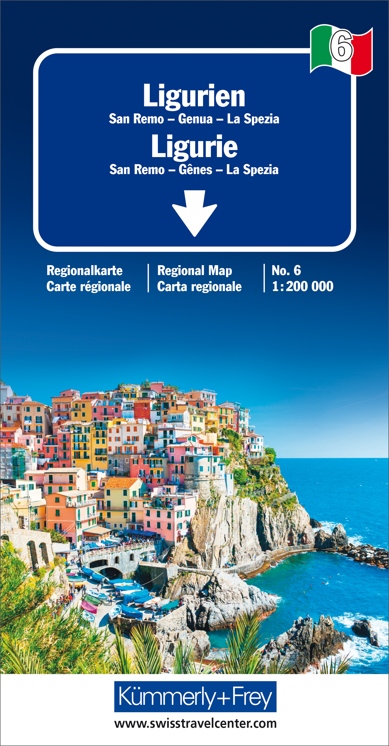
Goede wegenkaart van een deel van Italie. Mooi kleurgebruik geeft de kaart een natuurkundig beeld met veel toeristische informatie. Gebaseerd op de kaarten van de Italiaanse anwb. Vrijwel elke info is er op te vinden, maar helaas geen campings. (kaartno. 1386) Optimale Orientierung - die Regionalkarten helfen weiter Mit den Regionalkarten von Kümmerly+Frey fühlen Sie sich auch in den Ferien wie zu Hause. Sie wissen immer, wo Sie sind und wie weit es bis zur nächsten Sehenswürdigkeit ist. Die Regionalkarten sind Lizenzausgaben namhafter kartografischer Verlage. Es gibt sie von folgenden Ländern: Deutschland, Italien, Frankreich, Grossbritannien, Norwegen, Schweden und Dänemark. Beachten Sie dazu die detaillierten Blattschnitte. Massstab: 1:200 000 Englisch, Französisch, Deutsch, Italienisch.
€13,50
Bekijk product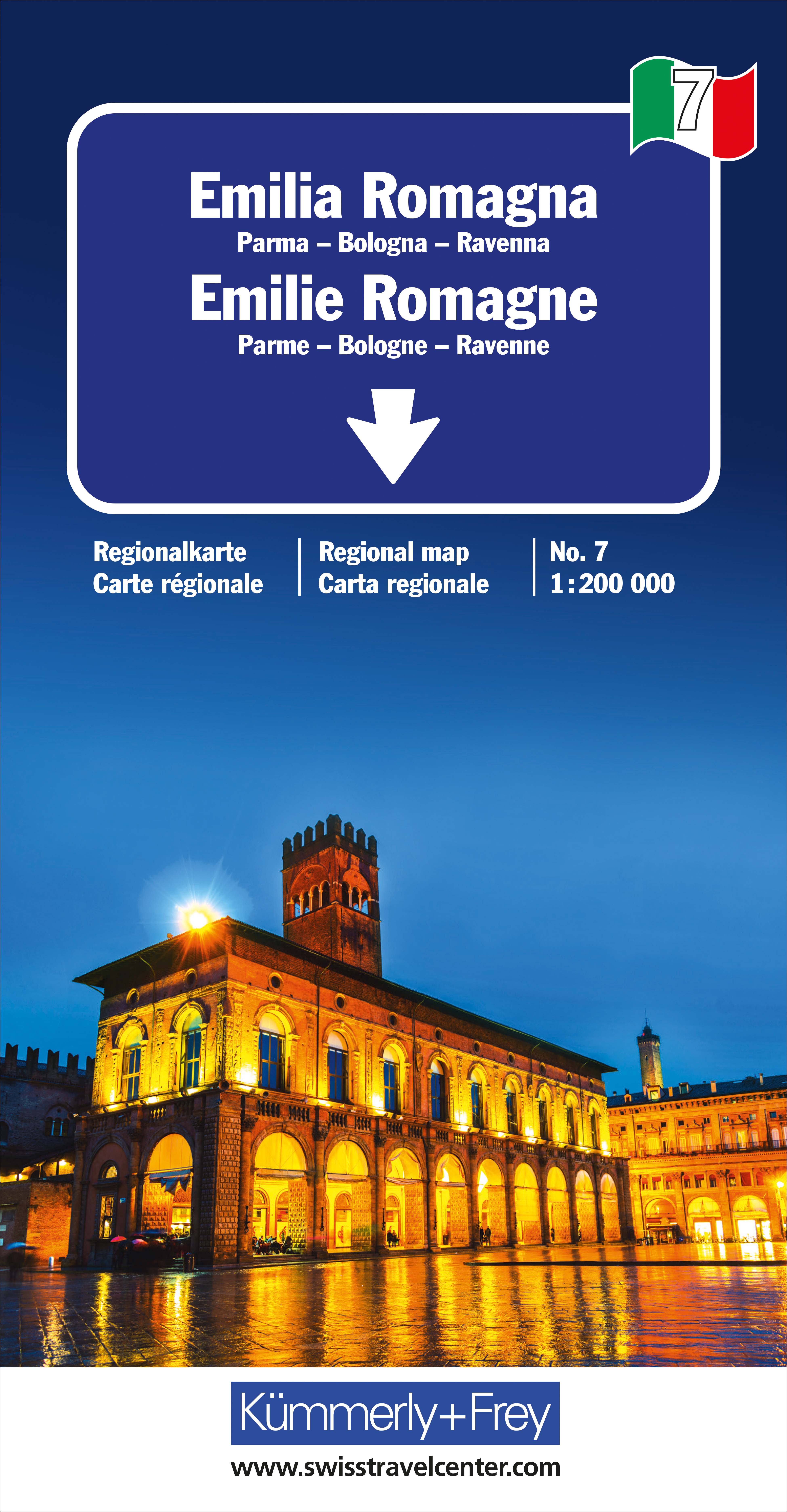
Goede wegenkaart van een deel van Italie. Mooi kleurgebruik geeft de kaart een natuurkundig beeld met veel toeristische informatie. Gebaseerd op de kaarten van de Italiaanse anwb. Vrijwel elke info is er op te vinden, maar helaas geen campings. (kaartno. 1387) Optimale Orientierung - die Regionalkarten helfen weiter. Mit den Regionalkarten von Kümmerly+Frey fühlen Sie sich auch in den Ferien wie zu Hause. Sie wissen immer, wo Sie sind und wie weit es bis zur nächsten Sehenswürdigkeit ist. Die Regionalkarten sind Lizenzausgaben namhafter kartografischer Verlage. Es gibt sie von folgenden Ländern: Deutschland, Österreich, Italien, Frankreich, Grossbritannien, Spanien/Portugal, Norwegen, Schweden und Dänemark. Beachten Sie dazu die detaillierten Blattschnitte. Massstab 1: 200 000
€13,50
Bekijk product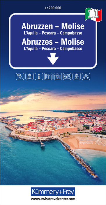
Goede wegenkaart van een deel van Italie. Mooi kleurgebruik geeft de kaart een natuurkundig beeld met veel toeristische informatie. Gebaseerd op de kaarten van de Italiaanse anwb. Vrijwel elke info is er op te vinden, maar helaas geen campings. (kaartno. 1391) Optimale Orientierung - die Regionalkarten helfen weiter. Mit den Regionalkarten von Kümmerly+Frey fühlen Sie sich auch in den Ferien wie zu Hause. Sie wissen immer, wo Sie sind und wie weit es bis zur nächsten Sehenswürdigkeit ist. Die Regionalkarten sind Lizenzausgaben namhafter kartografischer Verlage.
€13,50
Bekijk product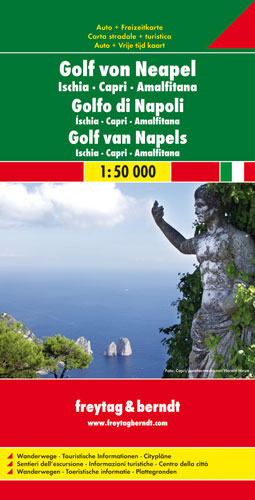
Gedetallieerde kaart van de Golf van Napels met bekende wandelgebieden als de kust van Amalfi, Pompei en Capri. Wandelroutes staan ingetekend, alle noodzakelijke kaartinfo aanwezig. Met stadsplattegrond, dubbelzijdig bedrukt. Explore the Bay of Naples (Golfo di Napoli) with this Freytag & Berndt double-sided road and leisure map. The map will allow you to travel independently, and plan your journey well. The topography of the land is well displayed using shading. The map also features full colour photographs of some of the scenery to be found in the area. You will also find plans of the townships of Amalfi, Ischia Ponte, Capri, Pompeii, Naples City and Sorrento as well as some enlargements of the islands of Capri and Ischia. As with all Freytag & Berndt maps, icons and markings are used to denote tourist information and points of interest. These include: Roads, foot paths, shipping routes, airports Places to see such as churches, monasteries, castles, museums, ruins and archaeological sites Caves and camp sites Distances between points are shown in kilometres. The legend is in German, English, French and Italian.
€14,95
Bekijk product