
Beantwoord enkele vragen, en binnen seconden geeft AI je een persoonlijk aankoopadvies op maat.
Beantwoord enkele vragen, en binnen seconden geeft AI je een persoonlijk aankoopadvies op maat.
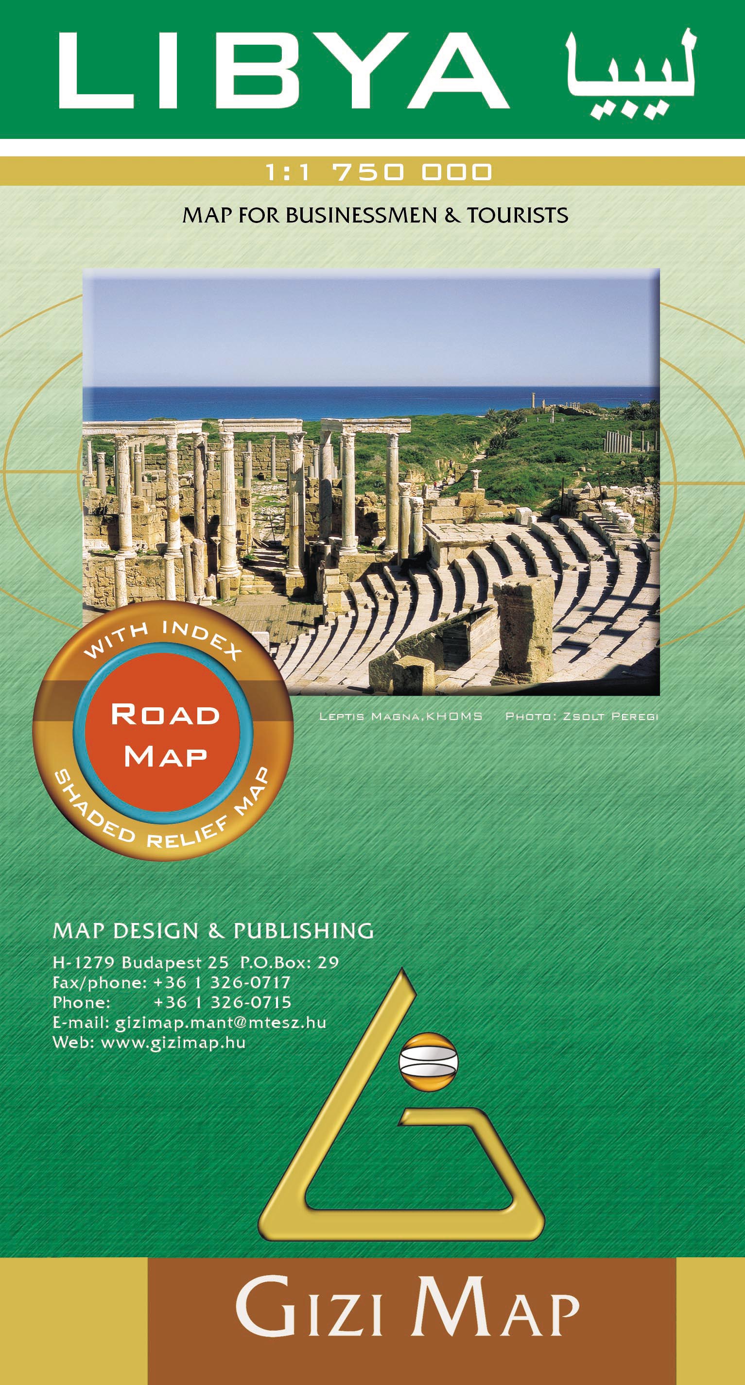
Libya at 1:1,750,000 on an indexed road map from Gizi Map with exceptionally fine and detailed presentation of its physical geography, oil and gas wells and pipelines, water aqueducts, ancients sites and other places of interest, etc. Names of larger towns and selected smaller locations, as well as of many topographic features are also shown in Arabic. The map provides a very fine presentation of the country’s geography through relief shading and graphics for sandy or stone deserts, swamps, salt flats, oasis, and water wells, plus numerous spot heights and plenty of names of mountain ranges, wadis, etc. Road network shows desert tracks and gives distances on main routes. Railway lines are included and domestic airports/aerodromes are marked. The map also shows oil or gas wells and pipelines, water aqueducts and boundaries of administrative provinces. Symbols indicate locations with campsites or youth hostels, various places of interest including archaeological sites and natural curiosities, etc. Latitude and longitude lines are drawn at 1° intervals. The index is next to the map. Map legend includes English and Arabic. Also provided is a distance table.
€15,95
Bekijk product
Een degelijke kaart met aanduidingen van o.a. nationale parken, vliegveld, benzinepomp, dirt-roads en kleine plattegrond van hoofdstad. Als overzichtskaart goed te gebruiken. At last! This is the 'new' artwork covering northern Borneo in detail. We used to have two maps for this area, but have combined the artwork into one double-sided map covering the same area as formerly, but as one map, and with greater consistency in colouring and style. The base artwork has been updated and readability improved. This is a 'new' map, in that ITMB has never had a title exactly like this, but it is an 'update' in that we have had this artwork available before, which justifies the 2nd Edition label. Legend Includes: Motorway, Major Highway,Airport,Car Ferry route and many more
€13,95
Bekijk product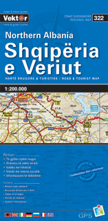
Geplastificeerde wegenkaart van het noorden van Albanië. De kaart bevat het volledige wegennetwerk, belangrijke toeristische bezienswaardigheden en een index met plaatsnamen. A three-sheet set that gives complete coverage of Albania. The maps use contour lines, spot heights, and color tinting to show elevation and relief. Regional, prefectural, and some municipal boundaries are shown. Roads are clearly marked, many with distances between road junctions. Villages are marked and there is a city/village index and multilingual legend
€9,95
Bekijk product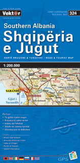
Geplastificeerde wegenkaart van het zuiden van Albanië. De kaart bevat het volledige wegennetwerk, belangrijke toeristische bezienswaardigheden en een index met plaatsnamen. A three-sheet set that gives complete coverage of Albania. The maps use contour lines, spot heights, and color tinting to show elevation and relief. Regional, prefectural, and some municipal boundaries are shown. Roads are clearly marked, many with distances between road junctions. Villages are marked and there is a city/village index and multilingual legend
€9,95
Bekijk product
Bijzonder gedetailleerde kaart (1:10.000 !) van alleen het eiland St. Eustatius. Zowel de wegen als ook de wandelpaden staan er op vermeld. Stranden, interessante plekken en bovendien de meeste duikplakken staan met diepte helder weergegeven op de kaart. This first and only complete road and street map with a street index of the Dutch Caribbean island of Saint Eustatius (Statia), ( Scale 1 : 10 000 ) renders roads and streets with their names and locates hiking trails and diving sites. The map is sold folded, measuring 4 7/8" x 8 7/8" ( 12.5 cm x 22.5 cm ), and is designed for easy opening and refolding. Its full unfolded format is 26 3/8" x 35" ( 67 cm x 89 cm ). Designed for travelers, this excellent map has unsurpassed coverage of the island, and its extensive information and depth of detail fit a broad range of interests. The map has hill shading, three levels of roads (footpaths, secondary roads, and main roads) and symbols representing a large number of physical features. It contains the following features Attractive full color layout; Rich topographic detail; Symbol key and scale; An airport (international), beaches, old forts, former plantation sites, sugar mill ruins, cemeteries, churches, a synagogue (ruins), cliffs, diving and snorkel sites, gas stations, geological formations, hiking trails, a hospital, a lighthouse, marine reserves, moorings, natural reserves, a parking area, a post office, protected zones, reefs, a university, an inactive volcano crater, and other points of interest; Depth curves, soundings in meters, longitude and latitude lines and other identifiers.
€18,50
Bekijk product
Goede wegenkaart van een deel van Griekenland. Waar beschikbaar worden hotels en campings getoond en met symbolen worden allerhande toeristische symbolen aangeduid als historische plaatsen, kloosters, museas etc. Tweetalig. Op elke kaart staat van de belangrijkste steden een centrumkaart en er is een behoorlijk uitgebreid register (wel kleine letters!) Kleurgebruik is duidelijk, maar een beetje flets, waardoor hoogteverschillen niet echt goed uitkomen.
€10,25
Bekijk product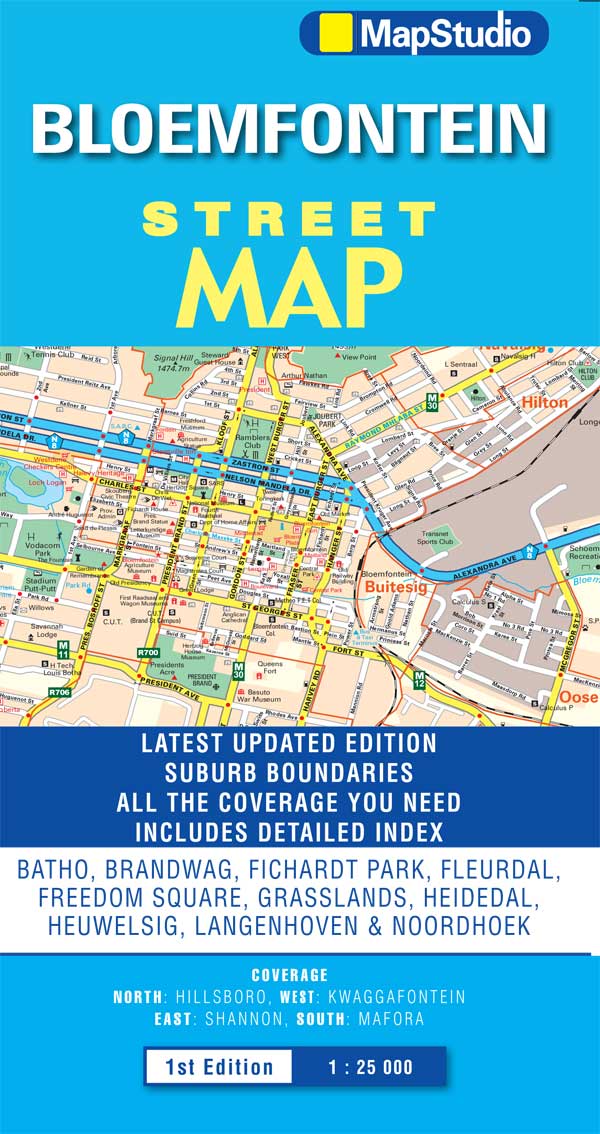
Uitgebreide stadsplattegrond van Bloemfontein en directe omgeving. The Bloemfontein Street Map is a 1st edition street map providing coverage of Bloemfontein and surrounds, plus includes the latest interchange layouts, names and route numbers. The main map is at a 1:25 000 street-level scale and includes a detailed Bloemfontein map. The map features reserves, parks and fields; golf courses, sports fields and stadiums; retail areas and shopping malls; intersection layouts, route numbers and interchange names; places of interest, historic sites and hotels; suburb names with boundaries; schools and sporting venue locations; a detailed index booklet with all street names and suburbs; industrial areas; hospitals and clinic locations; police station locations; wine estates and heritage sites; traffic light positions; bird sanctuaries; detailed sport symbols for sport venues; parks and public open-areas; post office and library locations. Coverage Extent: Batho, Brandwag, Fichardt Park, Fleurdal, Freedom Square, Grasslands, Heidedal, Heuwelsig, Langenhoven & Noordhoek.
€7,95
Bekijk product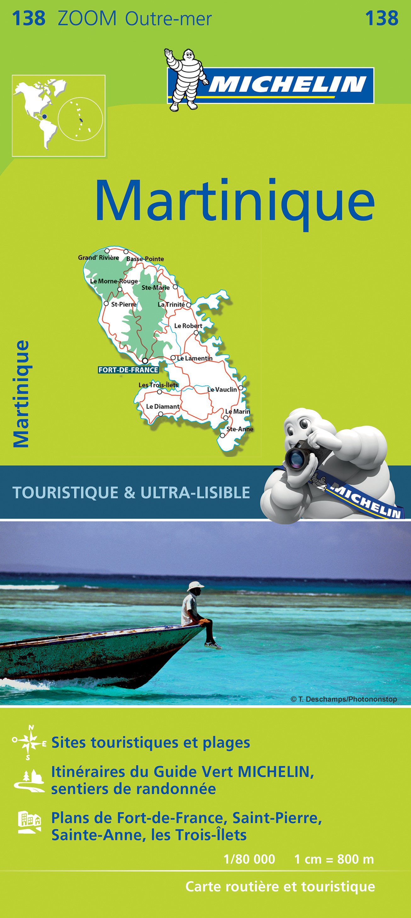
Speciale toeristische kaart van Martinique, gemaakt voor een goed bezocht gebied en uitvergroot. Daardoor zeer prettig leesbaar met een hoog nivo wat we van Michelin al veel langer gewend zijn. Alle wegen staan er op, met verschillende kleuren voor de aparte soorten wegen. Verder veel aandacht met symbolen voor de bezienswaardigheden in de regio, de bekende groene stroken naast de mooie wegen. Fort-de-France, Grand'Rivière, Martinique, Ste-Anne
€10,95
Bekijk product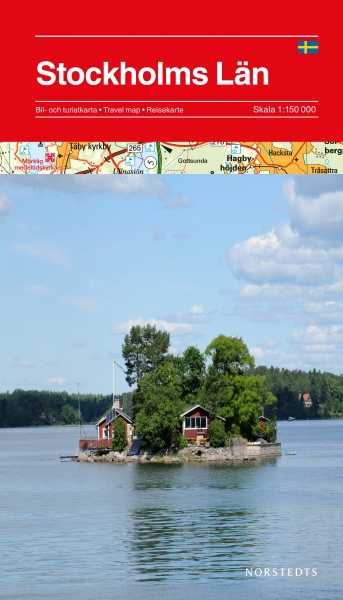
Deelkaart van Zweden gericht op het gewone toerisme. Aan de hand van symbolen worden bezienswaardigheden weergeven alsmede toeristisch belangrijke zaken als havens, restaurants en fietsmogelijkheden.
€18,95
Bekijk product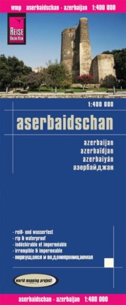
Tweetalige kaart (Engels en Duits). Door ingetekende lengte- en breedtegraden is het gebruik van GPS mogelijk. Met hoogtelijnen en uitgebreid wegennetwerk: daarnaast worden ook de afstanden tussen belangrijke plaatsen duidelijk leesbaar weergegeven. Het kleurgebruik is zodanig dat je een goede indruk krijgt van hoogteverschillen en soorten landschap. Natuurlijk staan de toeristische bezienswaardigheden duidelijk vermeld. Hochreißfeste und 100% wasserfeste Landkarte "Aserbaidschan" aus der Serie world mapping project. Reise Know-How Landkarten zeichnen sich durch besonders stabiles Kunststoffpapier aus, das beschreibbar ist wie Papier, sogar mit Bleistift. Der Pappumschlag ist abnehmbar, so dass sich die Karte bequem in jede Tasche stecken lässt. Eine Schutzhülle ist nicht erforderlich. Die kartografische Darstellung konzentriert sich auf die wichtigsten Informationen für Reisende und ist besonders gut lesbar. Statt einer Schummerung werden farbige Höhenschichten verwendet. Höhenlinien mit Höhenangaben Farbige Höhenschichten Klassifiziertes Straßennetz mit Entfernungsangaben Sehenswürdigkeiten Ausführlicher Ortsindex GPS-genau Längen- und Breitengrade Fünfsprachige Legende (deutsch, englisch, französisch, spanisch, russisch) Übersichtskarte auf dem Umschlag
€11,50
Bekijk product