
Beantwoord enkele vragen, en binnen seconden geeft AI je een persoonlijk aankoopadvies op maat.
Beantwoord enkele vragen, en binnen seconden geeft AI je een persoonlijk aankoopadvies op maat.
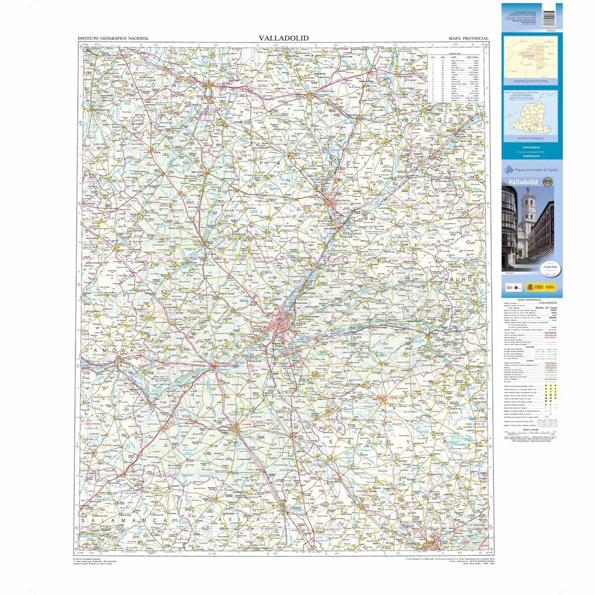
Deze kaart is zuiver gericht op de provincie als in de titel. Gebieden naast de kaart worden zonder kleur weergegeven. Ideale kaart als het gaat om het onderscheid in topografische details als hoogte, nationale parken, vegetatie en plaatsen. Met schaduwrelief wordt hoogte goed zichtbaar. Zeker geschikt voor fietsers, al heb je er soms wel veel nodig. Nadeel is het feit dat deze kaarten niet altijd even goed up-to-date zijn. Het komt soms wel voor dat bepaalde wegen inmiddels veel groter zijn geworden dan ingetekend op de kaart. Maar dan gaat het vooral om de grotere wegen: voor kleinere details is het een prima kaart. One of the titles in a series of contoured road maps from Spain's civilian survey organisation, each covering one administrative province, excellent in presenting the country’s topography and locations of its many national and natural parks. The maps have contours at 100-metre intervals enhanced by relief shading, plus spot heights. Additional colouring is used to indicate various types of vegetation. Boundaries of national/natural parks are highlighted. Road network includes minor local roads and tracks, and motorways distinguish between free and toll routes. Railways show high speed, double, and single track lines. Unless indicated to the contrary in the individual descriptions, the maps have UTM grid, plus latitude and longitude margin ticks at 15' intervals, and an index of place names on the reverse. The legend is in Spanish only. Unlike in the older versions of this series, on each title all the information continues outside the provincial boundary, but without the relief shading and vegetation colouring.
€9,95
Bekijk product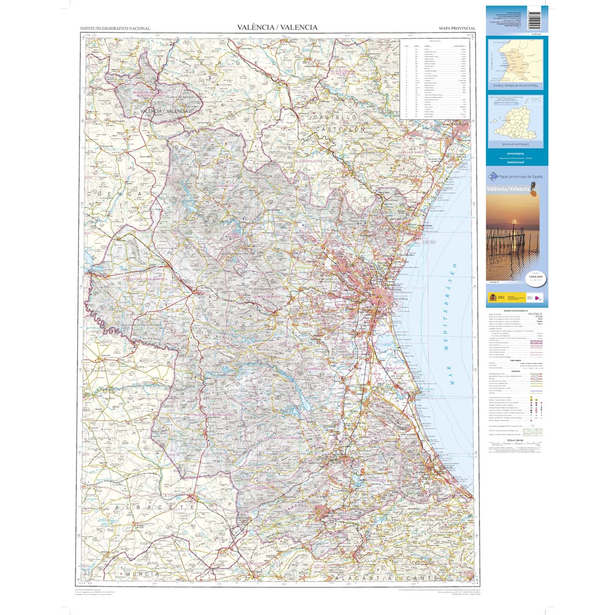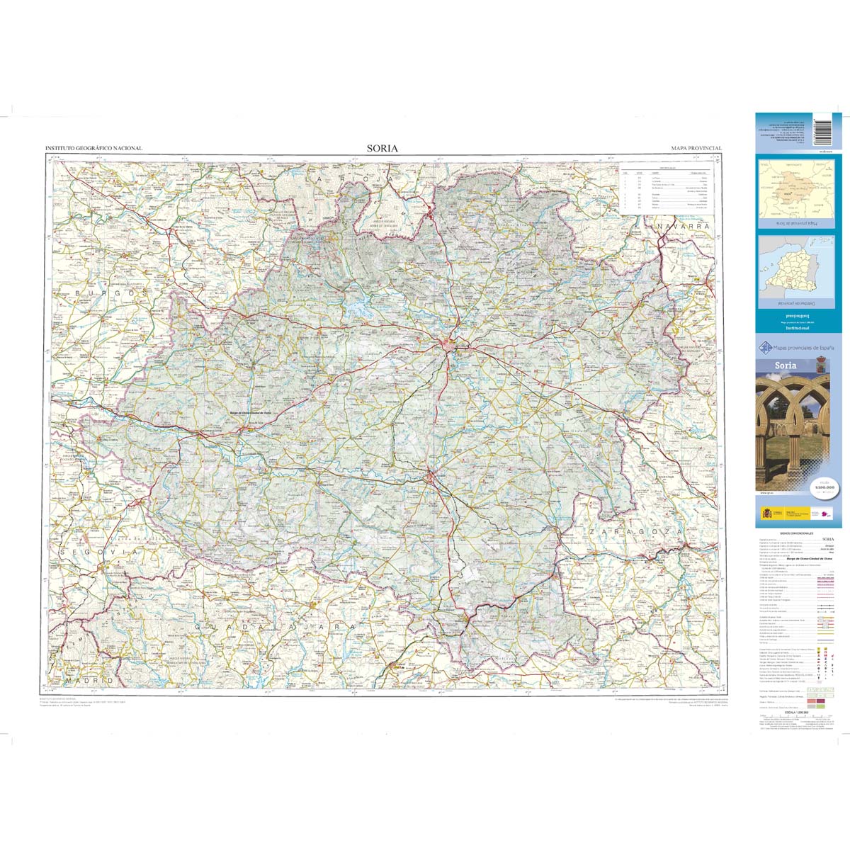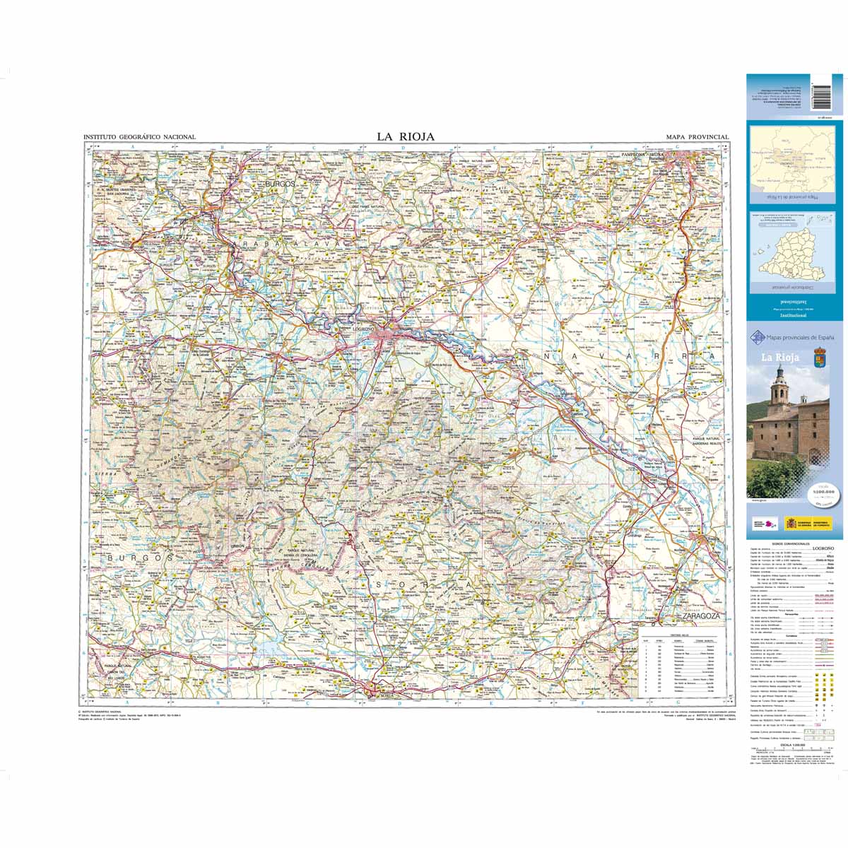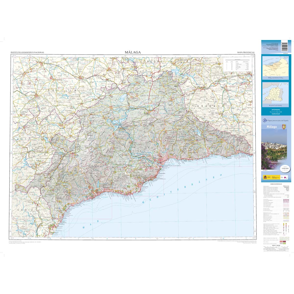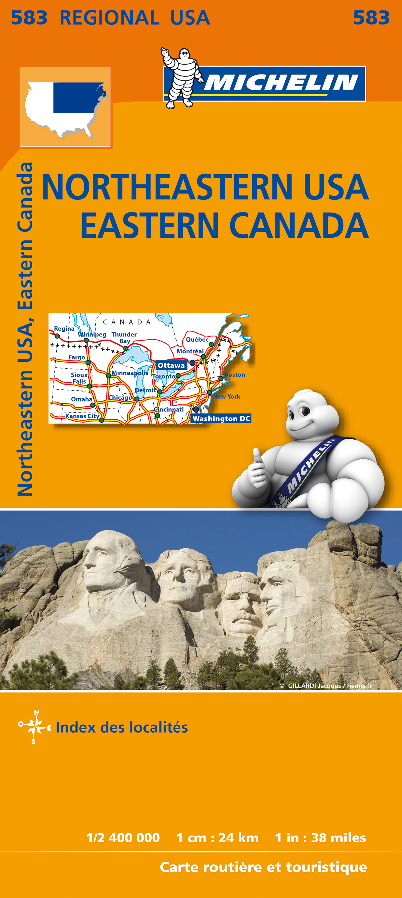
Wegenkaart van het noordoostelijke gedeelte van de USA (Kansas City - Fargo - Boston - Washington DC) en zuidoost Canada (Québec - Montréal - Ottawa - Winnipeg - Regina). Zie uitsnede op de voorkant van de kaart. Primary & secondary road networks are clearly marked out with indications of the number of lanes, intermediate distances and various possible road obstacles or things you should know including steep hills, height limits, toll barriers, prohibited roads and roads subject to restrictions. The map also includes small insets with street plans of the regions major towns, showing road names, one way streets and various places of interest (tourist sights, hospitals, parking, railway stations, etc.). Scenic routes on the map are marked out in green and an extensive index of place names is included. The map also features: Administrative boundaries Railways, Airports and Ferry Services Important sights such as castles, ruins, and churches Driving Times and Distance Charts Road Safety Information A legend in multiple languages, including English Canada, Côte Est américaine, Dakota, Est canadien, Midwest, New York (état), Nouveau-Brunswick, Nouvelle-Angleterre, Ontario, Québec
€12,95
Bekijk product

Gedetailleerde wegenkaart en wandelkaart met alle kleine wegen, wandelpaden, hoogtelijnen en toeristische informatie aangegeven. Alle tekst is tweetalig in Engels en Grieks en de waterproof kaart is geschikt voor gebruik met GPS. Terrain’s map of Central Crete provides travelers with everything they need: Scale of 100.000, which attributes all the information with clarity and in detail. Map data processed within a GIS environment, resulting in great accuracy. Double coordinate system, WGS 84 and ΕΓΣΑ 87, completely compatible with GPS. It is printed on Polyart material, making it totally waterproof and rip-proof. You can fold it and unfold it a hundred times, fold it in irregular ways, dunk it in the sea or leave it out in the rain. This map is indestructible! Clear symbols, easily readable fonts, rich colors and excellent arrangement of every element make the map extremely friendly to the user. Unique wealth of information. Every village, every road (including their distance in km), every sight, every beach, every gas station, the camping areas and much more, are all included in the map. The most important trails of the area are marked in the map, with clear lines, in two categories (main and secondary trails), including their exact distance in km, as well as the mountain refuges. For the first time in a map of Crete, the bolted canyoning routes and the climbing crags of the area are included. Moreover, suggested scenic routes are marked with a green shadow on the map. Also, a full index of the place names and the archaeological sites is included, as well as a detailed townplan of Heraklion in the scale of 1:4.500.
€12,50
Bekijk product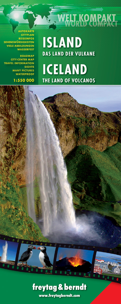
Gedetailleerde, geplastificeerde landkaart van IJsland met toeristische informatie en stadsplattegronden Freytag and Berndt tourist map and road map of Iceland - world compact series includes Top tourist information, city maps, text in English and German, waterproof map Freytag und Berndt Autokarte Island Welt Kompakt 1:550.000 führt Sie in das Land der Vulkane. Beschreibung der Top-Sehenswürdigkeiten finden Sie auf dieser Übersichtskarte inklusive Stadtpläne, sowie touristische Informationen, Länderinformationen und einen Sprachführer. Sprachen: Deutsch, Englisch reiß- und wasserfest Duidelijk minder gedetailleerd dan de andere Freytag kaart van IJsland, maar groot voordeel is dat deze geplastificeerd is.
€14,95
Bekijk product