
Beantwoord enkele vragen, en binnen seconden geeft AI je een persoonlijk aankoopadvies op maat.
Beantwoord enkele vragen, en binnen seconden geeft AI je een persoonlijk aankoopadvies op maat.
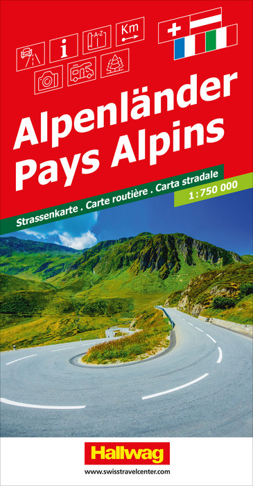
Heldere, goed leesbare wegenkaart van het hele Alpen gebied. Ook de mooie wegen staan aangeduid met een groene markering. Een register is bijgevoegd, hierin staat ook een afstandentabel. De kaart beslaat de belangrijkste gebieden van Frankrijk (Nice, Dijon, Mulhouse, enz.), Duitsland (Stuttgart, München, Freiburg, enz.), Oostenrijk (Salzburg, Wenen, Graz, enz.). ), van Slovenië (Ljubljana, enz.), van Kroatië (Rijeka, Zagreb, enz.), van Italië (Bolzano, Milaan, Genua, Bologna, enz.) tot Zwitserland (Zürich, Bern, enz.). STRASSENKARTEN MIT REISEINFORMATIONEN Die vielen Zusatzinformationen für Planung und Reise sind schnell und einfach greifbar. Überzeugen Sie sich vom einmaligen Leistungsangebot der Hallwag-Karten! Reiseinformationen mit Piktogrammen auf der Deckelinnenseite - alles auf einen Blick. Ortsverzeichnis in beigehefteter Broschüre oder direkt auf dem Kartenblatt. Strassenkarte mit Reiseinformationen, Index, Distanzentabelle, Sehenswürdigkeiten, Camping, Fährverbindungen, National Parks.
€14,50
Bekijk product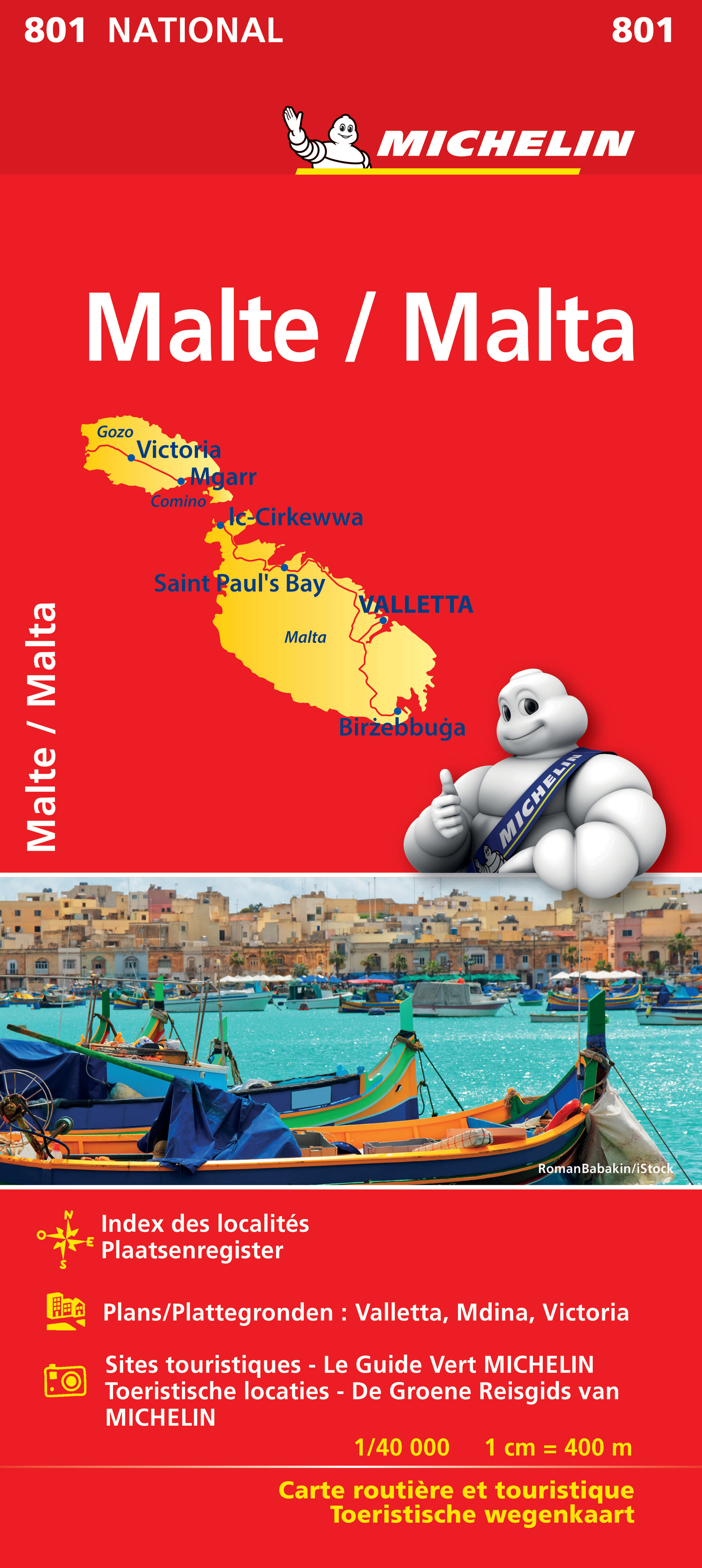
Zoals je van Michelin mag verwachten is deze kaart zeer overzichtelijk en heeft een duidelijk helder kaartbeeld. De kaart geeft uitgebreid toeristische informatie weer. Met register, afstanden en reistijden. Wegen worden naar verschillende klasse ingedeeld. Hindernissen voor automobilisten met caravans zijn gemarkeerd: steile hellingen, bergpassen of een anderzins moeilijke route. Bezienswaardigheden als een kasteel, religieus gebouw, ruine of grot is door een symbool goed te vinden. Il-Mellieħa, La Valette, Malte, San Pawl il-Baħar, Tas-Sliema
€12,95
Bekijk product
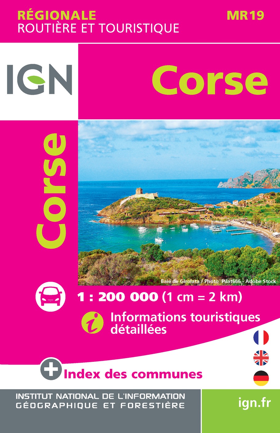
Goed leesbare wegenkaart van Corsica. Anders dan de gewone kaart is deze in klein formaat gevouwen, past makkelijk in je jaszak. Regionale kaart 1:200.000 van Frankrijk, IGN: Wegenkaart met afstandsaanduiding, toeristische informatie en spoorwegen met stations, nationale en regionale parken zijn duidelijk aangegeven. De kaart bevat ook kaartjes van het centrum van de grote steden in de regio, met straatnaamregister. De legenda is ook in Engels. Corsica is part of IGN's 1:200 000 Regional Road & Tourist series. The map features super clear road detail, showing everything from major motorways to small secondary roads. Toll sections are marked along with the location of the toll gates, the location of the fixed speed cameras is given, service areas and rest areas are shown and junction numbers are clearly marked. All of the bigger roads indicate intermediate road distances. The map is aimed at the tourist and, as such, shows the location of many places of interest including towns of interest to tourists, cathedrals, castles, museums, megaliths, ruins, view points, national parks and more. Railways and airports are indicated and different colouring shows built up and industrial areas. Topography is shown using subtle relief shading and colouring is used to show vegetation. An index of towns is included as are a couple of insets with quite detailed enlargements of the town centres of Bastia and Ajaccio with road names, one way streets and various important or interesting buildings marked. These insets also have a street index. A latitude and longitude grid is shown at 30' intervals and the legend is in French, German and English.
€6,95
Bekijk product
Een degelijke kaart van Laos met aanduidingen van o.a. nationale parken, vliegveld, benzinepomp, dirt-roads en kleine plattegronden van Vientiane, Luang Prabang we're very pleased to introduce you to this new, double-sided, map at a great scale, with fantastic detail. To me, the north side is the most interesting, covering the portion of Laos from Vientiane, the capital, to the Chinese border. Detailed inset maps of Vientiane and Louang Prabang, the temple city, are included on this side, as are bits of both Thailand and Vietnam. The south portion fills the other side of the sheet, including a goodly portion of Vietnam, showing all border crossings. Much of Thailand has had to be obscured, unfortunately, to make room for the place names index, but the immediate border areas are shown, including the rail line south from Vientiane. In an interesting departure from previous ITMB maps, the back cover consists of a detailed inset map of Vientiane at 1:16,000 scale, making it easy to use in the city without having to unfold the map sheet. Laos, as a country, has an exceptionally rich history, with the exotic Plain of Jars, the enormous temples, and in its involvement in the Vietnam War. This is a country well worth a visit and now it has a map enticing everyone to visit! Legend Includes: Museum, Place of interest, Cave, Grotto, Pagoda, Temple, World Heritage, Hot Spring, Church, Waterfall, Port, Dock, Ferry, Lighthouse, Beach, Diving, Elephant Santuary etc,.
€13,95
Bekijk product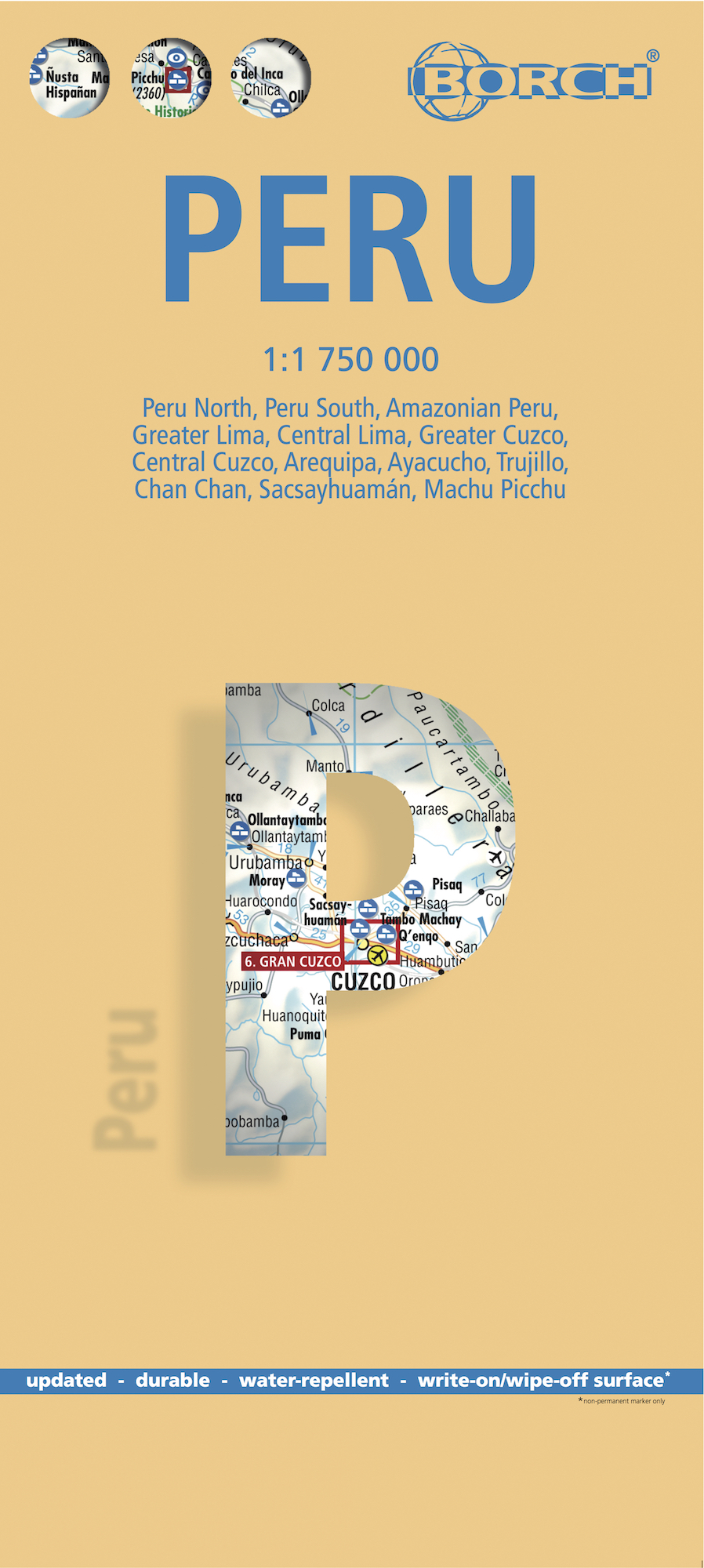
Mooie geplasticieerde kaart van Peru. Deze kaart biedt een goed overzicht van het land met detailkaarten. Our soft-laminated folded map of Peru shows: Peru North 1:1 750 000, Peru South 1:1 750 000, Amazonian Peru 1:2 500 000, Central Lima 1:18 000, Greater Lima 1:150 000, Central Cuzco 1:12 000, Greater Cuzco 1:50 000, Ayacucho 1:20 000, Arequipa 1:17 000, Chan Chan 1:40 000, Trujillo 1:20 000, Sacsayhuaman 1:10 000, Machu Picchu 1:44 000, Peru administrative & time zones. Borch Maps are easy to fold, durable and water-repellent with a wipeable surface. Borch Maps show hotels, museums, monuments, markets, public transport, top sights and points of interest, useful statistics, conversion charts for temperatures, weights and measurements, climate charts showing temperatures, sunshine hours, precipitation and humidity, overview maps, time zones, and much more... Bordering Brazil, Bolivia, Chile, Colombia, Ecuador and the Pacific Ocean, the Republic of Peru is the cradle of the Inca empire. Peru is home to many parks, reservations and sanctuaries, unique flora and fauna, tropical jungles, the highest lake in the world, several deserts, a rich cultural heritage, as well as being noted for its unique art, literature, music and folklore. Just 100 kilometers inland, the Andes rise up to 6,000 meters (18,000 feet), their jagged ranges separated by deep canyons. Descending the eastern slopes, the rich cloud forests transform into the rainforest of the Amazon Basin. Mountaineers can try their luck around Huarez and the former Inca capital Cuzco; wildlife enthusiasts will be entertained by the sea lions on the Islas Ballestas near Pisco; culture and history buffs will be able to feast on Peru's archeological wealth and charming colonial cities; Chan Chan - the huge adobe capital of the Chimu (near Trujillo); the 2,500 year old Chavín ruins near Huarez; the beautiful cities of Arequipa and Cajamarca. The ultimate experience, however, is walking the famous Inca Trail, which leads through spectacular mountain scenery and past mysterious ancient ruins, until the path descends to Peru's icon - legendary Machu Picchu - detailed on our map.
€11,50
Bekijk product
Tweetalige kaart (Engels en Duits). Door ingetekende lengte- en breedtegraden is het gebruik van GPS mogelijk. Met hoogtelijnen en uitgebreid wegennetwerk: daarnaast worden ook de afstanden tussen belangrijke plaatsen duidelijk leesbaar weergegeven. Het kleurgebruik is zodanig dat je een goede indruk krijgt van hoogteverschillen en soorten landschap. Natuurlijk staan de toeristische bezienswaardigheden duidelijk vermeld. Reise Know-How Landkarten zeichnen sich durch besonders stabiles Kunststoffpapier aus, das beschreibbar ist wie Papier, sogar mit Bleistift. Der Pappumschlag ist abnehmbar, so dass sich die Karte bequem in jede Tasche stecken lässt. Eine Schutzhülle ist nicht erforderlich. Die kartografische Darstellung konzentriert sich auf die wichtigsten Informationen für Reisende und ist besonders gut lesbar. Statt einer Schummerung werden farbige Höhenschichten verwendet. Ausstattung: – Höhenlinien mit Höhenangaben; – Farbige Höhenschichten; – Klassifiziertes Straßennetz mit Entfernungsangaben; – Sehenswürdigkeiten; – Ausführlicher Ortsindex; – GPS-genau; – Längen- und Breitengrade; – Fünfsprachige Legende (deutsch, englisch, französisch, spanisch, russisch); – Übersichtskarte auf dem Umschlag. Handliches Format: 70×100 cm, 2-seitig bedruckt.
€13,95
Bekijk product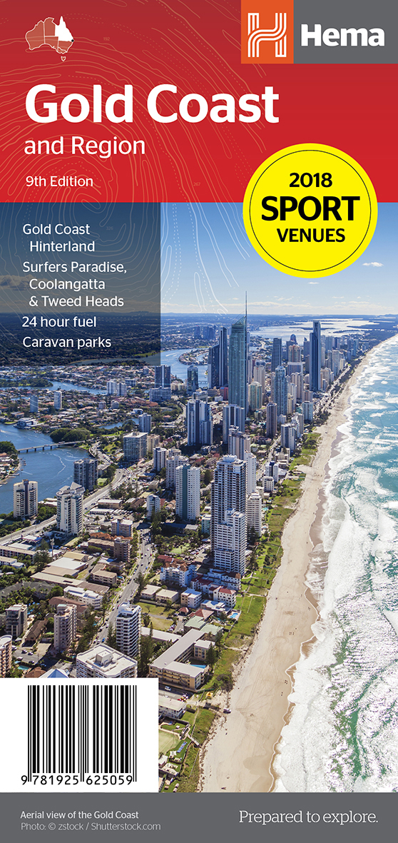
Goede, overzichtelijke, leesbare kaart van de hele provincie. Nationale Parken zijn er goed op te vinden en de afstanden worden weergegeven. Op de achterkant nog deelkaartjes van enkele steden en NP s. Map of Gold Coast: CBD, City, Suburbs & Hinterland This map of the Gold Coast includes detailed mapping of the city (1:15,000) and suburbs (1:50,000), as well as a comprehensive overview of the surrounding Gold Coast Hinterland (1:100,000). There’s plenty of useful visitor information marked on the mapping for staying in and getting around the Gold Coast, including fully updated roads, facilities and accommodation, as well as 2018 Commonwealth Games venues and temporary Park ‘n’ Ride locations. Map Features: Perfect for Visitors Surfers Paradise, Coolangatta & Tweed Heads Gold Coast Hinterland Commonwealth Games Venues Commonwealth Games Park n Ride locations Public Transport Route Map 24-hour fuel Accommodation & POI Marked Fully Indexed Suburbs Index Street Index Tourist Attractions Shopping Centres Golf Courses Tourist Information Centres National Park Contacts Major Markets Sporting Events Ideal for tourists, travel, beaches, theme parks & as a road map.
€14,50
Bekijk product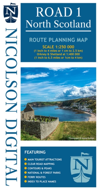
Duidelijke kaart met een schaal van 1:250.000, op topografische ondergrond van de Ordnance Survey, met hoogtelijnen. Primat voor het plannen van de reisroute. Voorzien van toeristische highlights, Nationale en regionale parken, ferries en index. Kleurgebruik is dusdanig sterk dat het soort landschap in één oogopslag duidelijk wordt.
€12,95
Bekijk product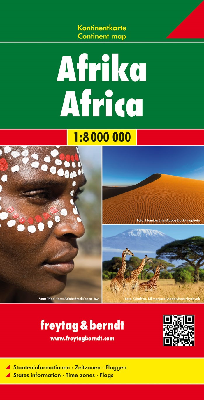
Grote overzichtskaart van het continent waarbij vooral de politieke aspecten getoond worden. De landen hebben verschillende kleuren, grenzen zijn duidelijk weergegeven en de belangrijkste steden en verbindingswegen zijn ingetekend. Ook spoorlijnen zijn er goed op terug te vinden. De gevouwen éénzijdige kaart is uitgevoerd op stevig papier en voorzien van een plastic laagje.
€18,95
Bekijk product