Beantwoord enkele vragen, en binnen seconden geeft AI je een persoonlijk aankoopadvies op maat.
Beantwoord enkele vragen, en binnen seconden geeft AI je een persoonlijk aankoopadvies op maat.


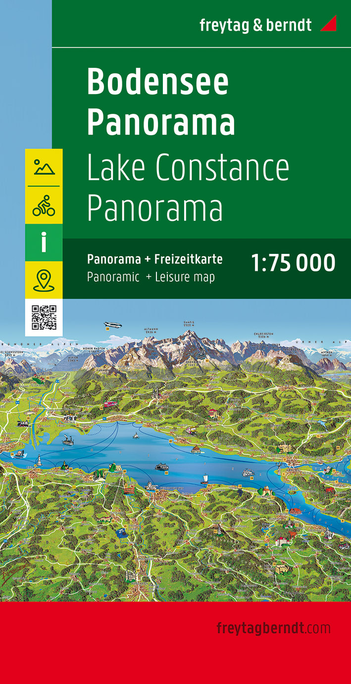
Tweetalige kaart (Engels en Duits). Door ingetekende lengte- en breedtegraden is het gebruik van GPS mogelijk. Met hoogtelijnen en uitgebreid wegennetwerk: daarnaast worden ook de afstanden tussen belangrijke plaatsen duidelijk leesbaar weergegeven. Het kleurgebruik is zodanig dat je een goede indruk krijgt van hoogteverschillen en soorten landschap. Natuurlijk staan de toeristische bezienswaardigheden duidelijk vermeld. Gedrukt op water- en scheurvast papier! Polyart is een synthetisch product vrij van giftige stoffen dus duurzaam. Het papier gaat echt lang mee. Topography is indicated by altitude colouring with numerous spot heights and names of mountain ranges and passes. Salt lakes, swamps, seasonal rivers and glacier are also shown. Detailed presentation of the road network includes minor roads and tracks and railways are also shown. Internal administrative units are presented with their boundaries and names. National parks and other protected areas are highlighted. A wide range of symbols mark various places of interest. Map legends include English and all the maps have an index of localities.
€13,95
Bekijk product
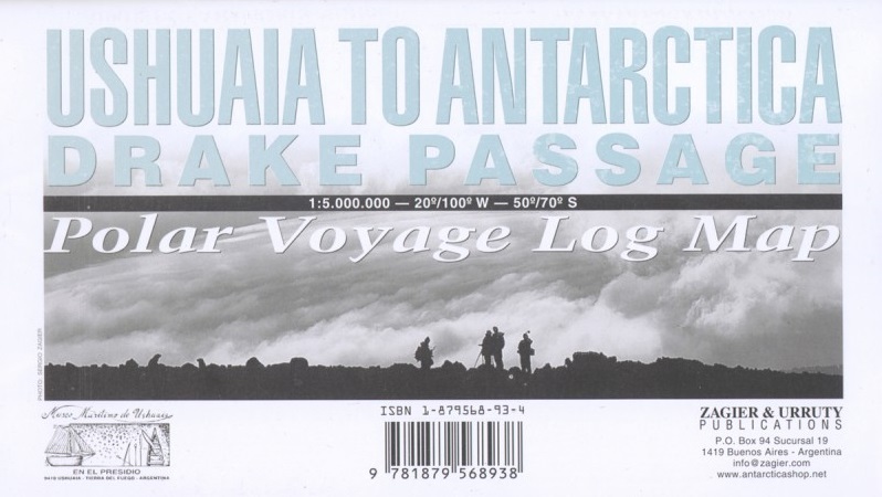
Deze kaart is geschikt voor bootreizen van Ushuaia naar Antarctica. De kaart bevat behalve dieptemeters en stromingen ook de plaatsen van scheepswrakken en andere interessante plekken. The ship voyage from South America to the Antarctic Peninsula is a travel of a lifetime. After two days navigating on a sea of miles deep with the strongest and wildest currents and winds, the traveler arrives to a paradise for people looking for nature, history and adventure. This map is based in the Argentine Hydrographic Survey and the Ushuaia Maritime Museum charts and includes historic sites in the area as well as place for stamps and signatures from the ship and stations crew. A certificate for having crossed the Drake Passage is printed, too. afmeting 65 x 95 cm
€17,95
Bekijk product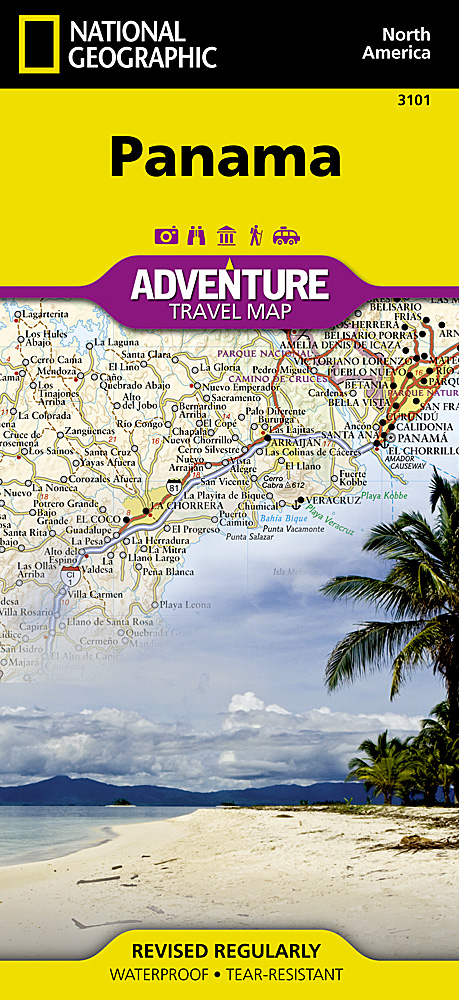
Panama: beroemd om het Panama-kanaal maar er is zoveel meer. Van een levendige hoofdstad tot regenwoud vol met biodiversiteit, van paradijselijke stranden tot bergen met ruisende rivieren. Panama biedt een breed scala aan avonturen die voortvloeien uit de eerbiediging van haar natuurlijke en culturele erfgoed. Inclusief Panama op de grootste schaal mogelijk en twee inzetten voor Panama City. Panama: famous for its canal, there is so much more. From a vibrant capital city to rain forests teeming with biodiversity, from paradisiacal beaches to mountains laced with rushing rivers, Panama offers a wide array of adventures that derive from and respect its natural and cultural heritage. Includes all of Panama at the largest scale possible and two insets for Panama City. Printed on waterproof tear-resistant material.
€17,50
Bekijk product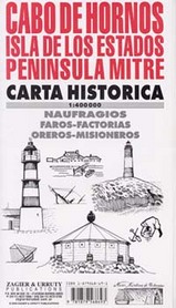
Een geweldige historische en hydrografische kaart van het zuidelijkste stuk van Zuid-Amerika: Cabo de Hornos. DE plek waar in de 16e en 17e eeuw veel schepen zijn vergaan. De wrakken van deze schepen zijn op de kaart ingetekend.
€17,95
Bekijk product