
Beantwoord enkele vragen, en binnen seconden geeft AI je een persoonlijk aankoopadvies op maat.
Beantwoord enkele vragen, en binnen seconden geeft AI je een persoonlijk aankoopadvies op maat.

Goede wegenkaart van heel Noorwegen: tweezijdig, met register en enkele kleine stadsplattegronden. Description: 1:600,000 scale folded, cardboard cover, double sided paper Norway map from Freytag and Berndt (F&B). Includes index booklet containing city centre maps for: Bergen, Hammerfest, Oslo, Narvik, Stavanger and Trondheim. De berijdbare wegen zijn goed weergeven, zowel de hoofdwegen als provinciale en lokale wegen; wegnummers worden vermeld. Afstanden tussen plaatsen zijn in kilometers op de kaart ingetekend, daarnaast worden ook op belangrijke plekken benzinepompen gemarkeerd. In het kaartbeeld wordt door middel van schaduw het reliëf weergegeven en soms enkele punten in het landschap met de daadwerkelijke hoogte. Provinciegrenzen zijn goed terug te vinden, nationale parken en reservaten ook. Met allerhande symbolen worden toeristische bezienswaardigheden weergegeven als monumenten, historisch belangrijke plekken en uitzichtpunten. In bepaalde plaatsen zijn hotels en campings te vinden, luchthavens, treinverbindingen en havens vindt u er ook op! Neben der übersichtlichen Gestaltung verfügt die Straßenkarte Norwegen 1:600.000 über zahlreiche Zusatzinformationen wie z.B. Straßenbeschaffenheit, Sehenswürdigkeiten, Campingplätze und diverse Innenstadtpläne. Mit dem umfangreichen Ortsregister gelingt zudem eine rasche Orientierung. Citypläne von Bergen, Hammerfest, Oslo, Narvik, Stavanger und Trondheim; Ortsregister mit Postleitzahlen, Entfernungen in km; freytag & berndt Autokarten sind für viele Länder und Regionen weltweit erhältlich.
€14,95
Bekijk product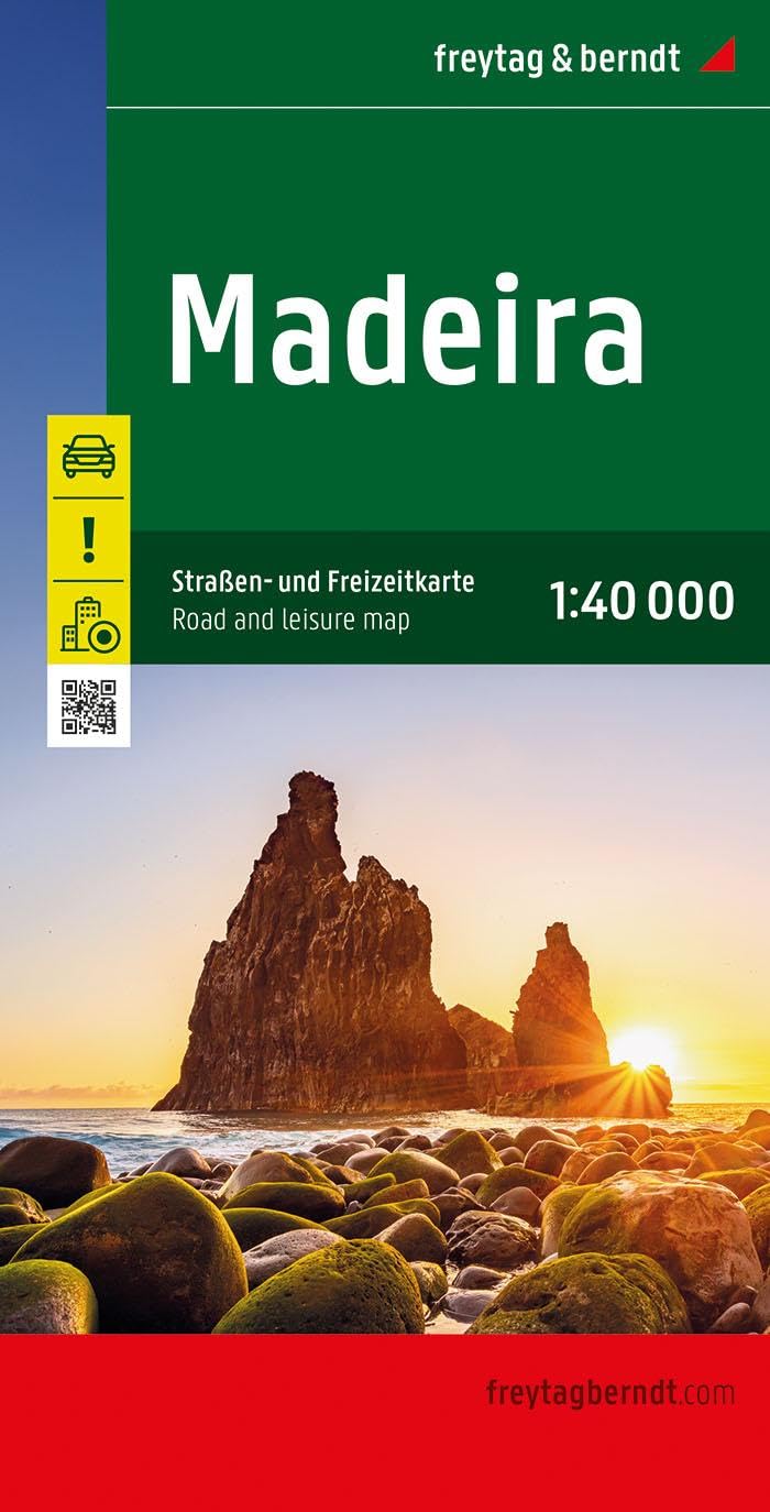
Duidelijke kaart met hoofdwegen en kleine wegen. Afstanden zijn gemarkeerd, Schaduwwerking en en bergtekening tonen de hoogte. De Levada's - de kanalen waarlangs uitstekend gewandeld kan worden - staan goed ingetekend. Verder met veel toeristische symbolen voor bezienswaardigheden, campings, nationaal park grenzen, etc. Ingevoegd een simpele kaart van het centrum van Funchal en een inzet van Porto Santo op schaal 1:50.000. This detailed road map of Madeira is very suitable for planning and traveling around the country. The road network is well represented, both the main roads, provincial and local roads. Road numbers are also clearly stated. Distances between places are marked on the map in kilometers, and gas stations are also marked in important places. Shadow shows the relief and sometimes some points with the actual height. Province borders, national parks and reserves are easy to find. Symbols indicate the location of tourist sites, monuments, historically important places and viewpoints. In certain places you can find hotels and campsites, airports, train connections and ports. Neben der übersichtlichen Gestaltung bietet die "Straßen- und Freizeitkarte Madeira 1:40.000" zahlreiche Zusatzinformationen wie z.B. Sehenswürdigkeiten, Campingplätze und einen Innenstadtplan.Mit dem umfangreichen Ortsregister gelingt eine rasche Orientierung. - Infoguide- Besondere Ausflugsziele - Cityplan Funchal- Ortsregister mit PLZ- GPS KoordinatenDer beiliegende, mehrsprachige Infoguide bietet Informationen zu besonderen und sehenswerten Ausflugszielen der Inseln. Sprachen: Portugiesisch, Deutsch, Englisch, Französisch, Italienisch, Spanisch, Niederländisch, Tschechisch, Slowakisch, Ungarisch.
€14,95
Bekijk product
Goede detailkaart van dit kleine gebied in noordoost Griekenland. Met legenda en plaatsnamenregister. De berijdbare wegen zijn goed weergeven, zowel de hoofdwegen als provinciale en lokale wegen; wegnummers worden vermeld. Afstanden tussen plaatsen zijn in kilometers op de kaart ingetekend, daarnaast worden ook op belangrijke plekken benzinepompen gemarkeerd. In het kaartbeeld wordt door middel van schaduw het reliëf weergegeven en soms enkele punten in het landschap met de daadwerkelijke hoogte. Provinciegrenzen zijn goed terug te vinden, nationale parken en reservaten ook. Met allerhande symbolen worden toeristische bezienswaardigheden weergegeven als monumenten, historisch belangrijke plekken en uitzichtpunten. In bepaalde plaatsen zijn hotels en campings te vinden, luchthavens, treinverbindingen en havens vindt u er ook op!
€14,95
Bekijk product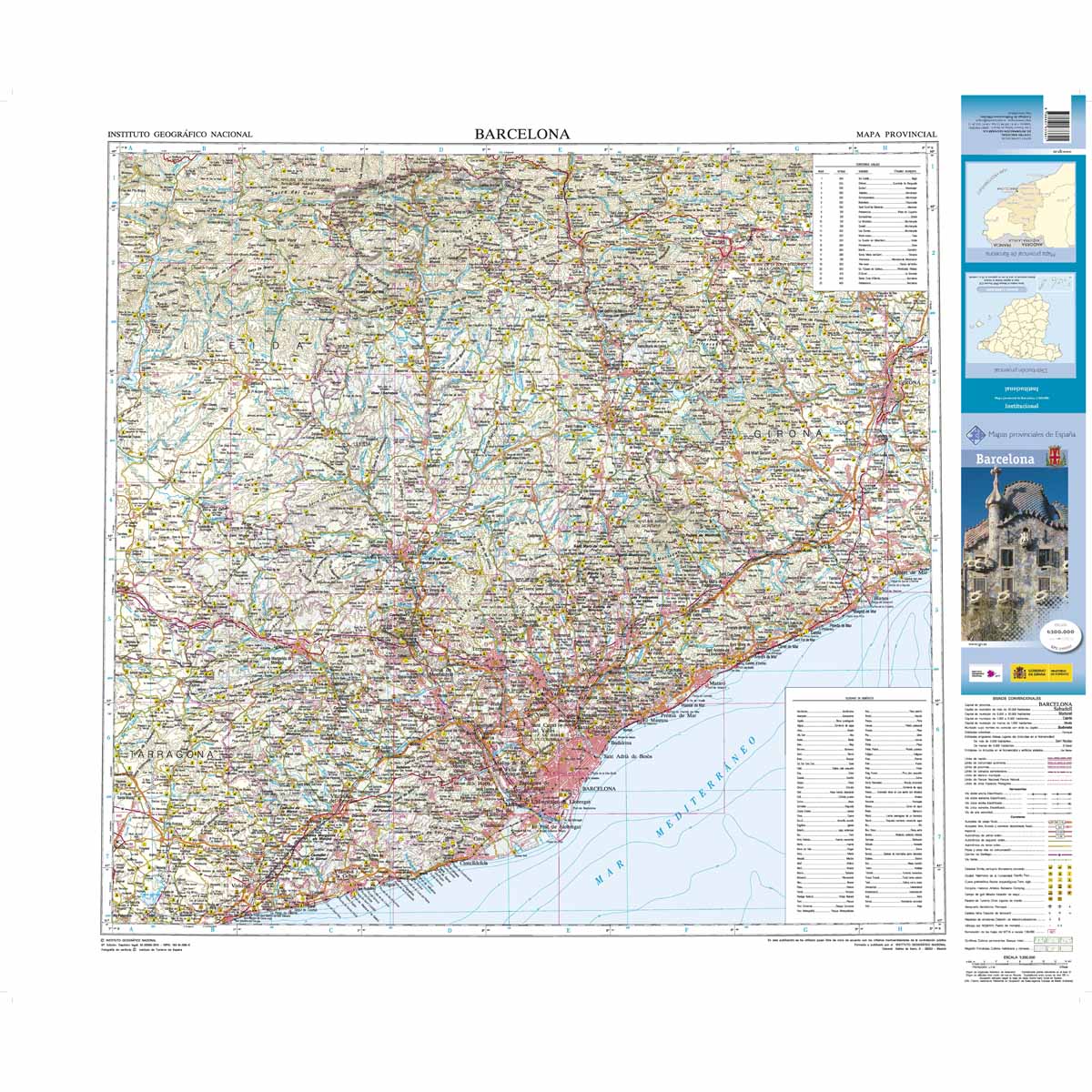
Deze kaart is zuiver gericht op de provincie in de titel. Gebieden naast de kaart worden zonder kleur weergegeven. Ideale kaart als het gaat om het onderscheid in topografische details als hoogte, nationale parken, vegetatie en plaatsen. Met schaduwrelief wordt hoogte goed zichtbaar. Zeker geschikt voor fietsers, al heb je er soms wel veel nodig. Nadeel is het feit dat deze kaarten niet altijd even goed up-to-date zijn. Het komt soms wel voor dat bepaalde wegen inmiddels veel groter zijn geworden dan ingetekend op de kaart. Maar dan gaat het vooral om de grotere wegen: voor kleinere details is het een prima kaart. One of the titles in a series of contoured road maps from Spain's civilian survey organisation, each covering one administrative province, excellent in presenting the country’s topography and locations of its many national and natural parks. The maps have contours at 100-metre intervals enhanced by relief shading, plus spot heights. Additional colouring is used to indicate various types of vegetation. Boundaries of national/natural parks are highlighted. Road network includes minor local roads and tracks, and motorways distinguish between free and toll routes. Railways show high speed, double, and single track lines. Unless indicated to the contrary in the individual descriptions, the maps have UTM grid, plus latitude and longitude margin ticks at 15' intervals, and an index of place names on the reverse. The legend is in Spanish only. Unlike in the older versions of this series, on each title all the information continues outside the provincial boundary, but without the relief shading and vegetation colouring.
€9,95
Bekijk product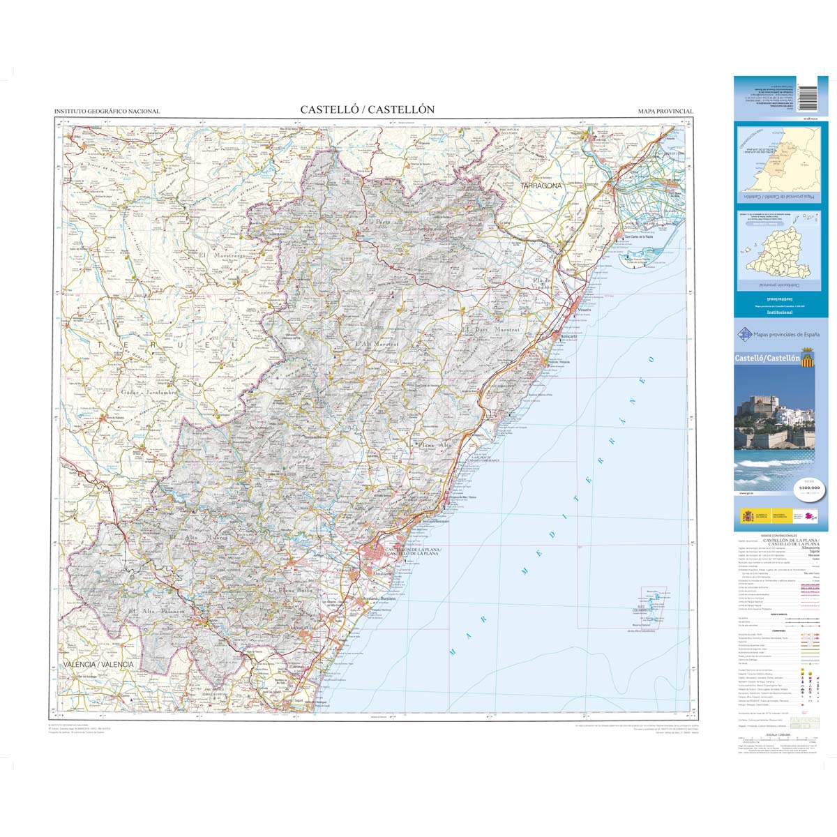
Deze kaart is zuiver gericht op de provincie als in de titel. Gebieden naast de kaart worden zonder kleur weergegeven. Ideale kaart als het gaat om het onderscheid in topografische details als hoogte, nationale parken, vegetatie en plaatsen. Met schaduwrelief wordt hoogte goed zichtbaar. Zeker geschikt voor fietsers, al heb je er soms wel veel nodig. Nadeel is het feit dat deze kaarten niet altijd even goed up-to-date zijn. Het komt soms wel voor dat bepaalde wegen inmiddels veel groter zijn geworden dan ingetekend op de kaart. Maar dan gaat het vooral om de grotere wegen: voor kleinere details is het een prima kaart. One of the titles in a series of contoured road maps from Spain's civilian survey organisation, each covering one administrative province, excellent in presenting the country’s topography and locations of its many national and natural parks. The maps have contours at 100-metre intervals enhanced by relief shading, plus spot heights. Additional colouring is used to indicate various types of vegetation. Boundaries of national/natural parks are highlighted. Road network includes minor local roads and tracks, and motorways distinguish between free and toll routes. Railways show high speed, double, and single track lines. Unless indicated to the contrary in the individual descriptions, the maps have UTM grid, plus latitude and longitude margin ticks at 15' intervals, and an index of place names on the reverse. The legend is in Spanish only. Unlike in the older versions of this series, on each title all the information continues outside the provincial boundary, but without the relief shading and vegetation colouring.
€9,95
Bekijk product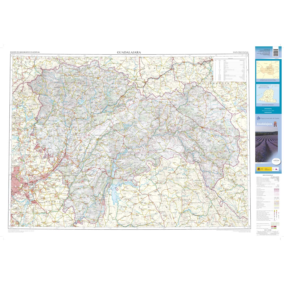
Deze kaart is zuiver gericht op de provincie als in de titel. Gebieden naast de kaart worden zonder kleur weergegeven. Ideale kaart als het gaat om het onderscheid in topografische details als hoogte, nationale parken, vegetatie en plaatsen. Met schaduwrelief wordt hoogte goed zichtbaar. Zeker geschikt voor fietsers, al heb je er soms wel veel nodig. Nadeel is het feit dat deze kaarten niet altijd even goed up-to-date zijn. Het komt soms wel voor dat bepaalde wegen inmiddels veel groter zijn geworden dan ingetekend op de kaart. Maar dan gaat het vooral om de grotere wegen: voor kleinere details is het een prima kaart. One of the titles in a series of contoured road maps from Spain's civilian survey organisation, each covering one administrative province, excellent in presenting the country’s topography and locations of its many national and natural parks. The maps have contours at 100-metre intervals enhanced by relief shading, plus spot heights. Additional colouring is used to indicate various types of vegetation. Boundaries of national/natural parks are highlighted. Road network includes minor local roads and tracks, and motorways distinguish between free and toll routes. Railways show high speed, double, and single track lines. Unless indicated to the contrary in the individual descriptions, the maps have UTM grid, plus latitude and longitude margin ticks at 15' intervals, and an index of place names on the reverse. The legend is in Spanish only. Unlike in the older versions of this series, on each title all the information continues outside the provincial boundary, but without the relief shading and vegetation colouring.
€9,95
Bekijk product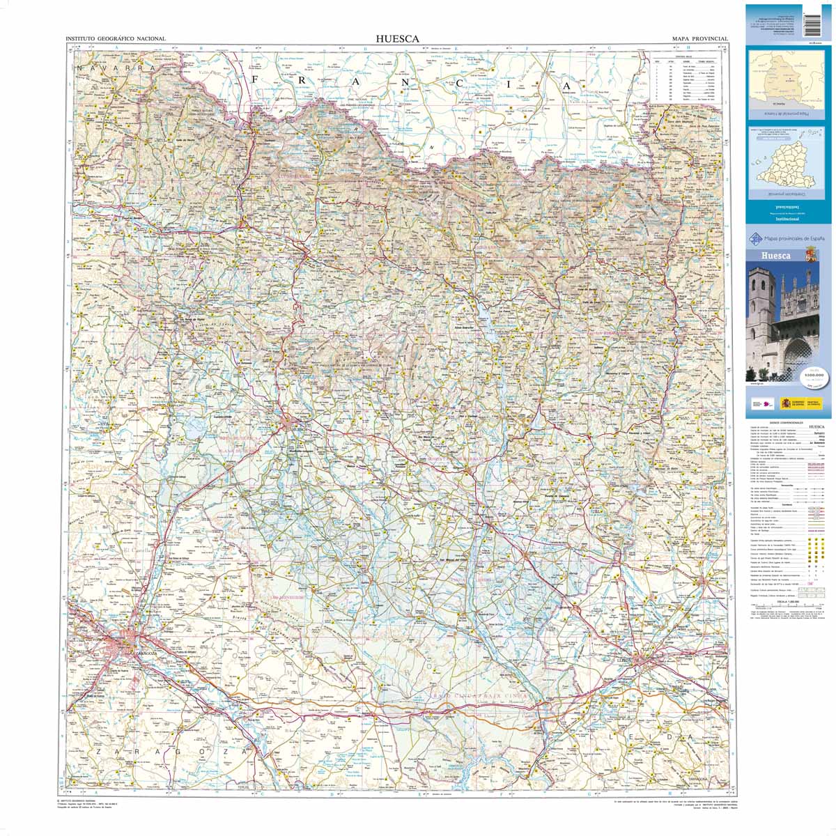
Deze kaart is zuiver gericht op de provincie als in de titel. Gebieden naast de kaart worden zonder kleur weergegeven. Ideale kaart als het gaat om het onderscheid in topografische details als hoogte, nationale parken, vegetatie en plaatsen. Met schaduwrelief wordt hoogte goed zichtbaar. Zeker geschikt voor fietsers, al heb je er soms wel veel nodig. Nadeel is het feit dat deze kaarten niet altijd even goed up-to-date zijn. Het komt soms wel voor dat bepaalde wegen inmiddels veel groter zijn geworden dan ingetekend op de kaart. Maar dan gaat het vooral om de grotere wegen: voor kleinere details is het een prima kaart. One of the titles in a series of contoured road maps from Spain's civilian survey organisation, each covering one administrative province, excellent in presenting the country’s topography and locations of its many national and natural parks. The maps have contours at 100-metre intervals enhanced by relief shading, plus spot heights. Additional colouring is used to indicate various types of vegetation. Boundaries of national/natural parks are highlighted. Road network includes minor local roads and tracks, and motorways distinguish between free and toll routes. Railways show high speed, double, and single track lines. Unless indicated to the contrary in the individual descriptions, the maps have UTM grid, plus latitude and longitude margin ticks at 15' intervals, and an index of place names on the reverse. The legend is in Spanish only. Unlike in the older versions of this series, on each title all the information continues outside the provincial boundary, but without the relief shading and vegetation colouring.
€9,95
Bekijk product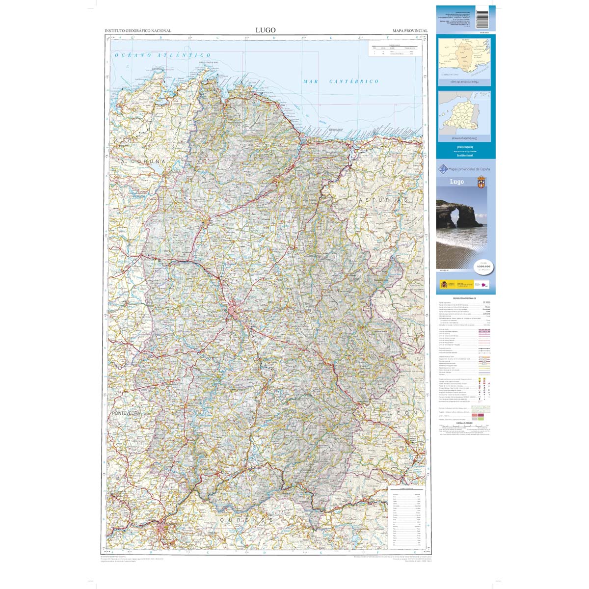
Deze kaart is zuiver gericht op de provincie als in de titel. Gebieden naast de kaart worden zonder kleur weergegeven. Ideale kaart als het gaat om het onderscheid in topografische details als hoogte, nationale parken, vegetatie en plaatsen. Met schaduwrelief wordt hoogte goed zichtbaar. Zeker geschikt voor fietsers, al heb je er soms wel veel nodig. Nadeel is het feit dat deze kaarten niet altijd even goed up-to-date zijn. Het komt soms wel voor dat bepaalde wegen inmiddels veel groter zijn geworden dan ingetekend op de kaart. Maar dan gaat het vooral om de grotere wegen: voor kleinere details is het een prima kaart. One of the titles in a series of contoured road maps from Spain's civilian survey organisation, each covering one administrative province, excellent in presenting the country’s topography and locations of its many national and natural parks. The maps have contours at 100-metre intervals enhanced by relief shading, plus spot heights. Additional colouring is used to indicate various types of vegetation. Boundaries of national/natural parks are highlighted. Road network includes minor local roads and tracks, and motorways distinguish between free and toll routes. Railways show high speed, double, and single track lines. Unless indicated to the contrary in the individual descriptions, the maps have UTM grid, plus latitude and longitude margin ticks at 15' intervals, and an index of place names on the reverse. The legend is in Spanish only. Unlike in the older versions of this series, on each title all the information continues outside the provincial boundary, but without the relief shading and vegetation colouring.
€9,95
Bekijk product
Hele goede wegenkaart met veel topografische details, aangepast aan de toerist / reiziger met symbolen voor allerhande bezienswaardigheden en praktische zaken als campings en benzinepompen. Quality section map showing the southwest of Iceland. The map has contour lines and shading at 50 m intervals, and contains the latest information about Iceland's road system, including road distances and road numbers, as well as important travel-service information such as service stations, accommodation, swimming pools, museums, protected relics, golf courses, viewing dials and boat trips
€22,50
Bekijk product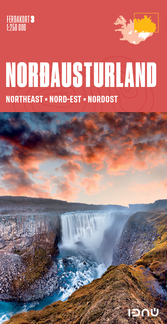
Hele goede wegenkaart met veel topografische details, aangepast aan de toerist / reiziger met symbolen voor allerhande bezienswaardigheden en praktische zaken als campings en benzinepompen. Quality section map showing the northeast of Iceland. The map has contour lines and shading at 50 m intervals, and contains the latest information about Iceland's road system, including road distances and road numbers, as well as important travel-service information such as service stations, accommodation, swimming pools, museums, protected relics, golf courses, viewing dials and boat trips.
€22,50
Bekijk product