
Beantwoord enkele vragen, en binnen seconden geeft AI je een persoonlijk aankoopadvies op maat.
Beantwoord enkele vragen, en binnen seconden geeft AI je een persoonlijk aankoopadvies op maat.

Goede wegenkaart van Banff & Jasper met bezienswaardigheden, Overnachtingsmogelijkheden, Campings en hete bronnen. This is our most popular driving (touring) map and the map most recommended as an overview for anyone planning a trip to the Canadian Rocky Mountain Parks - Banff, Jasper, Yoho and Kootenay. It also covers Mount Revelstoke and Glacier national parks, the Bugaboos and the Purcell Mountains further west. 29 of the best points of interest in the Rocky Mountain Parks are numbered and described. Mountain lodges, campgrounds, hostels, hot springs, golf courses, ski areas, picnic sites, visitor centres and highway viewpoints are labelled. The mountains are also labelled with their name and elevation, if available, and glaciers are easy to pick out because they are shown in a different colour. On the back, you will find a map of Western Canada showing all the major highways, as well as maps showing the major arteries in the cities of Edmonton and Calgary. There are also town maps of Banff, Jasper and Lake Louise. Points of interest are numbered and described on the Edmonton, Calgary, Banff, Jasper and Lake Louise town maps. There is also a guide to campgrounds in Banff, Jasper, Yoho and Kootenay National Parks. Pretty much everything that visitors to Canadian Rockies need to know - all on one map.
€13,95
Bekijk product
Goede wegenkaart van British Columbia met Nationale Parken, Overnachtingsmogelijkheden, Ski gebieden en bezienswaardigheden. Gem Trek’s Southwest British Columbia & Northern Washington map meets the needs of visitors looking to explore the lower mainland of British Columbia and the northern section of Washington state. All the major highways are shown, as well as national, provincial, and state parks and wilderness areas. The map also shows lesser-known back roads, and pinpoints the location of lodges, campgrounds and hot springs. Mileage charts on the front and back provide distances between major towns and cities. The Southwest British Columbia & Northern Washington map covers all of Vancouver Island and extends west through the city of Vancouver and the Okanagan Valley to the Kootenays. South of the border, Washington state is covered from the Gulf Islands in the west to Spokane in the east, with coverage as far south as Mount Rainer National Park. The Southwest British Columbia & Northern Washington map includes: full colour on both sides national and provincial parks cities, towns, and villages campgrounds
€8,95
Bekijk product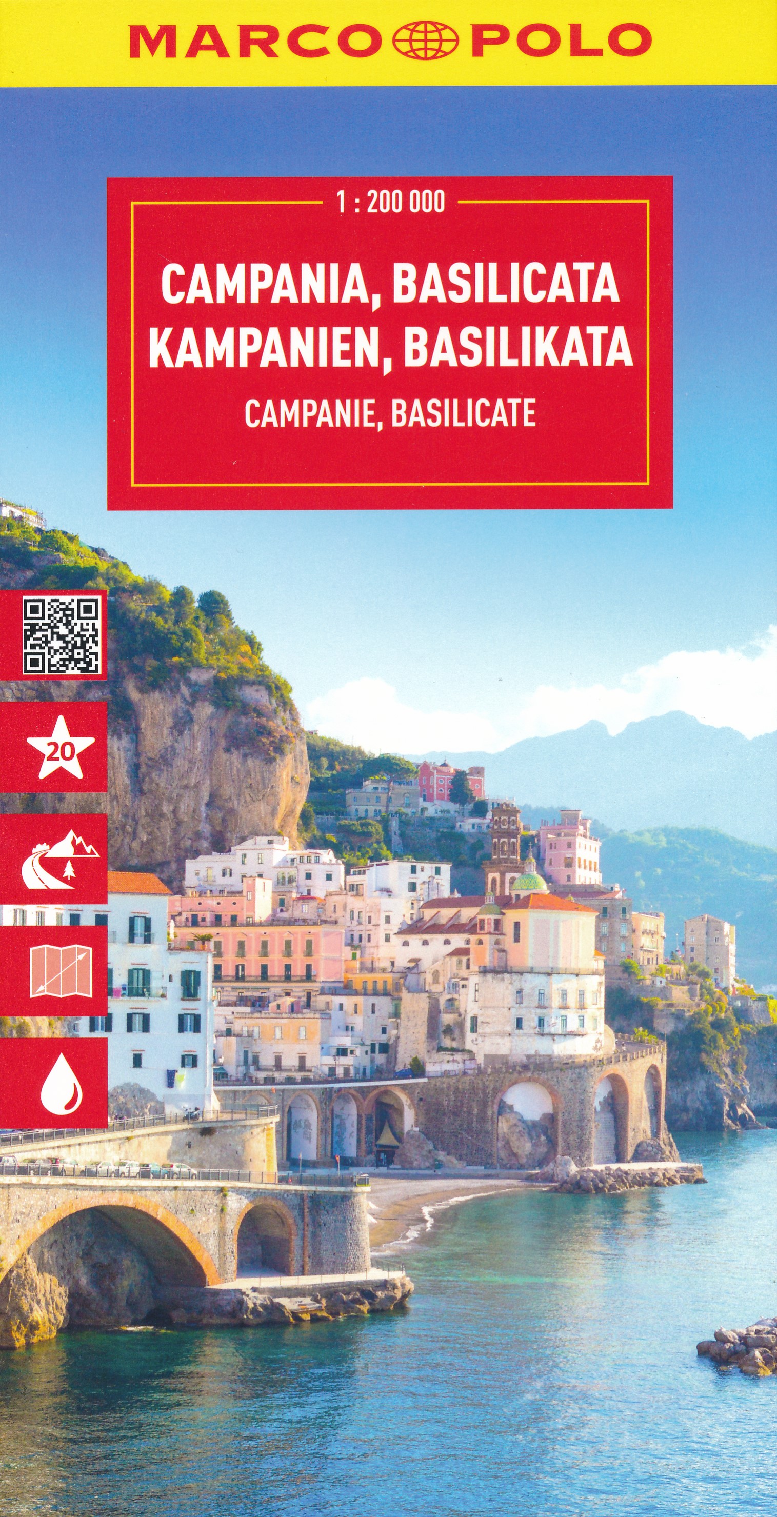
Uitstekende deelkaart van Italie met als basis een bijna topografische ondergrond. Mooie wegen staan met groen weergegeven en groot voordeel boven de Michelin en Kummerley/Frey series is het feit dat er -weliswaar klein - campings op staan ingetekend. Zeer leesbare kaart, met register en alle noodzakelijke informatie. The series is particularly good for identifying geographical features: mountain and hill chains, valleys, national parks, etc. Picturesque towns and places of interest are given star rating, and other tourist information includes campsites and youth hostels, landmarks, recreational facilities etc. Latitude and longitude grid is drawn at intervals of 10'.
€14,95
Bekijk product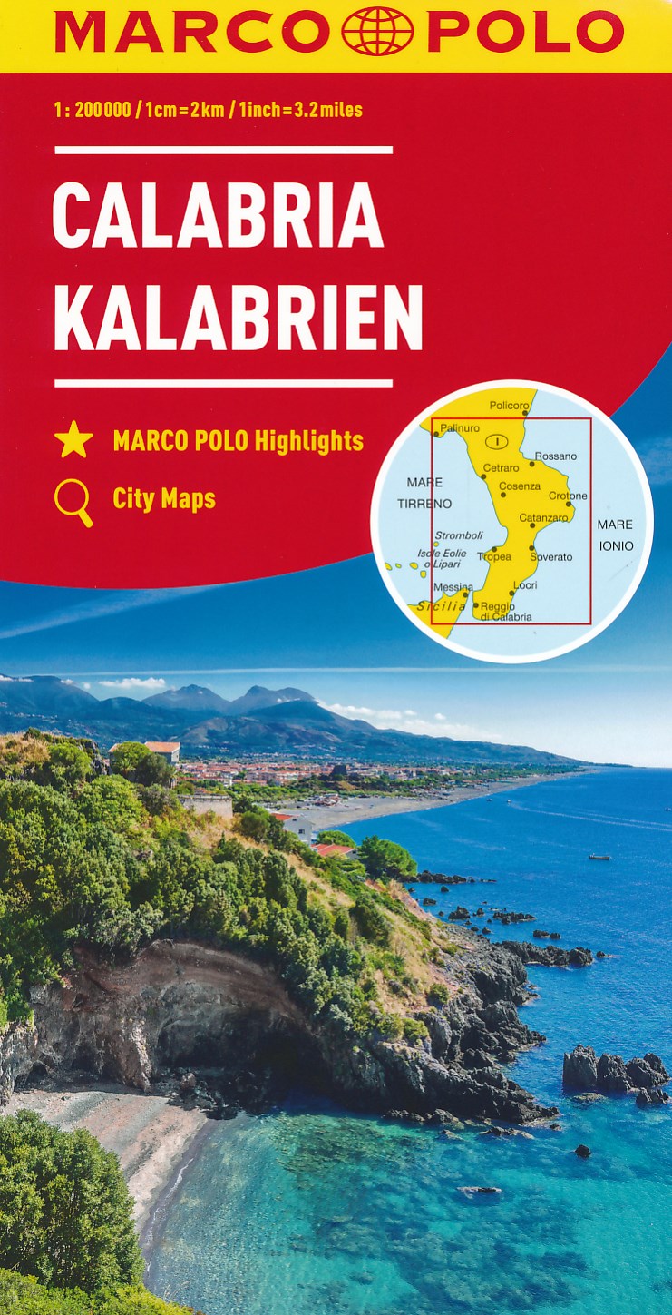
Uitstekende deelkaart van Italie met als basis een bijna topografische ondergrond. Mooie wegen staan met groen weergegeven en groot voordeel boven de Michelin en Kummerley/Frey series is het feit dat er -weliswaar klein - campings op staan ingetekend. Zeer leesbare kaart, met register en alle noodzakelijke informatie. The series is particularly good for identifying geographical features: mountain and hill chains, valleys, national parks, etc. Picturesque towns and places of interest are given star rating, and other tourist information includes campsites and youth hostels, landmarks, recreational facilities etc. Latitude and longitude grid is drawn at intervals of 10'. Each title comes with a booklet which contains a street plan of the central area in the region’s main city, plus an extensive index of place names, including geographical features. Also provided are a table with distances and traveling times and main traffic and speed regulations. Map legend and all information include English.
€14,95
Bekijk product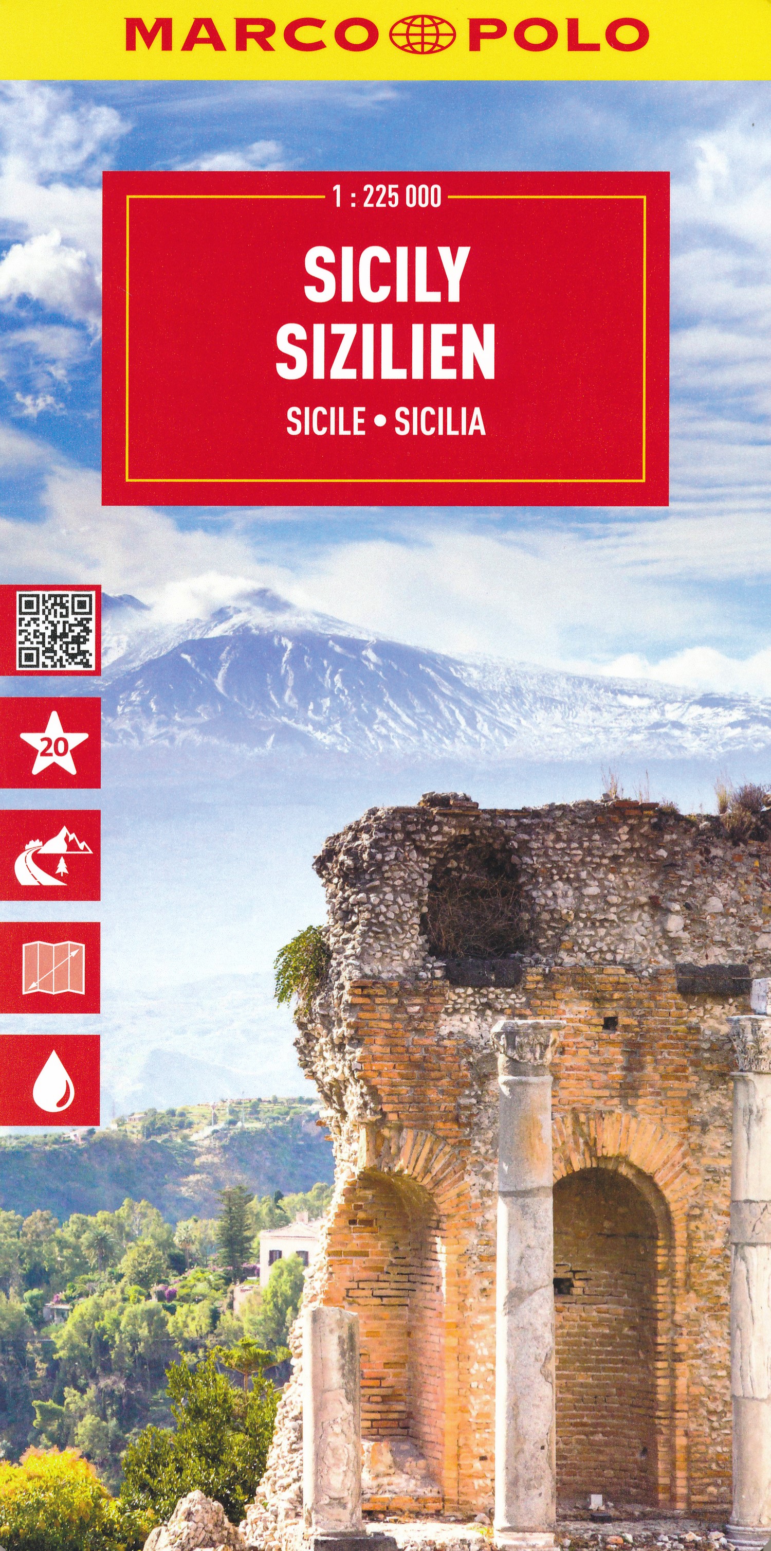
Uitstekende deelkaart van Italie met als basis een bijna topografische ondergrond. Mooie wegen staan met groen weergegeven en groot voordeel boven de Michelin en Kummerley/Frey series is het feit dat er -weliswaar klein - campings op staan ingetekend. Zeer leesbare kaart, met register en alle noodzakelijke informatie. "Immer einen Schritt voraus, immer im Trend. Es ist gut zu wissen, wo sich im Urlaubsgebiet die bedeutenden kulturellen und landschaftlichen Sehenswürdigkeiten befinden. Das präzise und klar lesbare Kartenbild der MARCO POLO Karte führt Sie nicht nur zu diesen wirklich interessanten Stellen, sondern zeigt Ihnen außerdem noch viele andere wissenswerte Details. Dank des großen Maßstabs 1:200 000 können Sie sich gut in der fremden Landschaft orientieren und finden auch auf interessanten, abgelegenen Straßen sicher zum Ziel."
€14,95
Bekijk product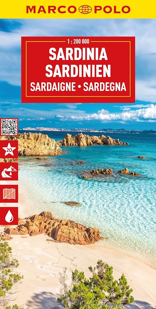
Uitstekende deelkaart van Italie met als basis een bijna topografische ondergrond. Mooie wegen staan met groen weergegeven en groot voordeel boven de Michelin en Kummerley/Frey series is het feit dat er -weliswaar klein - campings op staan ingetekend. Zeer leesbare kaart, met register en alle noodzakelijke informatie. The series is particularly good for identifying geographical features: mountain and hill chains, valleys, national parks, etc. Picturesque towns and places of interest are given star rating, and other tourist information includes campsites and youth hostels, landmarks, recreational facilities etc. Latitude and longitude grid is drawn at intervals of 10'. Each title comes with a booklet which contains a street plan of the central area in the region’s main city, plus an extensive index of place names, including geographical features. Also provided are a table with distances and traveling times and main traffic and speed regulations. Map legend and all information include English.
€14,95
Bekijk product
Uitstekende wegenkaart van de Azoren. Met index, toeristische informatie, Autoveerboten en jachthavens. Elk eiland op een aparte inzet. Gedetailleerde landkaart, ook te gebruiken als wandelkaart of fietskaart van de Azoren (Acores, Portugal) schaal 1:50.000 met uitgebreide legenda en plaatsnamenregister. This large double-sided road map of the Azores, at 1:50,000 from Freytag & Berndt, shows the islands both individually and as a group and comes with an attached index and concise leisure guide booklet. This map shows main and minor roads, motorways and toll roads, sections under construction or closed to traffic. Conveniently highlighted are scenic routes, gradients on steep roads, driving distances in kilometres, petrol and service stations etc. Railway lines are marked and international and local airports are indicated as well as ferry connections to the other islands. Relief shading, spot heights and colouring and/or graphics provide a good presentation of the islands topography. Natural reserves are marked and symbols indicate various places of interest and facilities, e.g. museums, churches and castles, viewpoints, beaches, campsites and motels, etc. Latitude and longitude lines are drawn at 2' intervals. A small inset shows the islands together as a group and ferry and domestic airlines connection within the islands. The multilingual booklet, which includes English, contains an index listing all the localities with their postcodes and GPS coordinates and a brief description of main tourist sights.
€14,95
Bekijk product
Goede kaart van het noorden van Argentinie met Uruguay. Aan beide kanten bedrukt. Met veel toeristische aanduidingen als nationale parken en culturele bezienswaardigheden. Prima leesbare kaart. Folded road and tourist map of Northern Argentina and Uruguay at 1:2 500 000 scale. All of Uruguay is covered and Argentina is covered from the northern border south past Bahia Blanca on the eastern coast. Places of interest and national parks are highlighted and shaded-relief colouring clearly depicts topography. The map includes insets showing central Montevideo at 1:12 500, Tucuman at 1:30 000, Cordoba at 1:16 000, Iguacu at 1:450 000, central Buenos Aires at 1:20 000, greater Buenos Aires at 1:750 000 and a locator map. The legend is in English, German, Spanish and French. For over 20 years Nelles maps have been renowned throughout the world for their quality, faithfulness to detail and up-to-dateness. So that streets, ferry links, railway lines, etc are always up to date, Nelles are continuously upgrading their maps - with the help of their international team of correspondents. Roads are provided with an exact kilometerage. Sights are highlighted extra clearly so that you don't miss any tourist attractions. A good map must be hard-wearing and allow itself to be folded up simply and quickly. Nelles Maps are a handy pocket size with the reliable, practical concertina fold. In addition they use an extra high-quality speciality paper resulting in considerably increased fold strength.
€11,95
Bekijk product
Goede duidelijke wegenkaart aan twee kanten bedrukt. Wel een grote lap kaart, maar daardoor bestrijkt het een groot gebied. Alle toeristische details staan er op, ook campings worden vermeld. De berijdbare wegen zijn goed weergeven, zowel de hoofdwegen als provinciale en lokale wegen; wegnummers worden vermeld. Afstanden tussen plaatsen zijn in kilometers op de kaart ingetekend, daarnaast worden ook op belangrijke plekken benzinepompen gemarkeerd. In het kaartbeeld wordt door middel van schaduw het reliëf weergegeven en soms enkele punten in het landschap met de daadwerkelijke hoogte. Provinciegrenzen zijn goed terug te vinden, nationale parken en reservaten ook. Met allerhande symbolen worden toeristische bezienswaardigheden weergegeven als monumenten, historisch belangrijke plekken en uitzichtpunten. In bepaalde plaatsen zijn hotels en campings te vinden, luchthavens, treinverbindingen en havens vindt u er ook op!
€14,95
Bekijk product
Tweetalige kaart (Engels en Duits). Door ingetekende lengte- en breedtegraden is het gebruik van GPS mogelijk. Met hoogtelijnen en uitgebreid wegennetwerk: daarnaast worden ook de afstanden tussen belangrijke plaatsen duidelijk leesbaar weergegeven. Het kleurgebruik is zodanig dat je een goede indruk krijgt van hoogteverschillen en soorten landschap. Natuurlijk staan de toeristische bezienswaardigheden duidelijk vermeld. Gedrukt op water- en scheurvast papier! Polyart is een synthetisch product vrij van giftige stoffen dus duurzaam. Het papier gaat echt lang mee. Topography is indicated by altitude colouring with numerous spot heights and names of mountain ranges and passes. Salt lakes, swamps, seasonal rivers and glacier are also shown. Detailed presentation of the road network includes minor roads and tracks and railways are also shown. Internal administrative units are presented with their boundaries and names. National parks and other protected areas are highlighted. A wide range of symbols mark various places of interest. Map legends include English and all the maps have an index of localities.
€15,95
Bekijk product