
Beantwoord enkele vragen, en binnen seconden geeft AI je een persoonlijk aankoopadvies op maat.
Beantwoord enkele vragen, en binnen seconden geeft AI je een persoonlijk aankoopadvies op maat.

<p> Prachtige geplastificeerde kaart van het bekende nationaal park. Met alle recreatieve voorzieningen als campsites, maar ook met topografische details en wandelroutes ed. Door uitgekiend kleurgebruik zeer prettig in gebruik. Scheur en watervast!</p> <div> This Trails Illustrated topographic map for Dinosaur National Monument, which straddles the state lines of northwest Colorado and northeast Utah, is the perfect recreational map for this stunning monument. Within its craggy hills, you can discover pieces of a long ago world where the largest land creatures of all time once roamed and died.</div> <div> </div> <div> The map includes the entire national monument area, with detailed trails and topographic information. Included are the Lodore Nature Trail, The Green River, Yampa River, Jenny Lind Rock, Harpers Corner Nature Trail, Rainbow Park, Dinosaur Quarry, the Green Riuver Campground, and much more. The map is full of detailed trail information, park information, history and culture, geology, and natural history.</div>
€16,95
Bekijk product
<div> <span style="color: rgb(0, 0, 0); font-family: 'Helvetica Neue', Helvetica, sans-serif, Arial; font-size: 12px; line-height: 16.363636016845703px;">Prachtige geplastificeerde kaart van het nationaal park. Met alle recreatieve voorzieningen als campsites, maar ook met topografische details en wandelroutes ed. Door uitgekiend kleurgebruik zeer prettig in gebruik. Scheur en watervast!</span></div> <div> </div> <div> This Trails Illustrated topographic map for Organ Pipe Cactus National Monument, straddling southern Arizona, and northern Sonora, Mexico, is the perfect recreational map for this beautiful Sonoran desert wilderness.</div> <div> </div> <div> The map includes the entire Organ Pipe Cactus national monument area, with detailed topographic information. Included on the map are the Ajo Range, the Ajo Mountain Drive, Arch Canyon, Bates Mountains, Cipriano Hills, the Puerto Blanco Mountains, and much more. Includes UTM grids for use with your GPS unit.</div>
€16,95
Bekijk product
<p> <span style="color: rgb(0, 0, 0); font-family: 'Helvetica Neue', Helvetica, sans-serif, Arial; line-height: 16.363636016845703px;">Prachtige geplastificeerde kaart van het nationaal park. Met alle recreatieve voorzieningen als campsites, maar ook met topografische details en wandelroutes ed. Door uitgekiend kleurgebruik zeer prettig in gebruik. Scheur en watervast!</span></p> <div> Beautiful waterproof, tear-resistant, topographic map. <span style="font-size: 12px;">The map includes Big Bend National Park, Portions of Big Bend Ranch State Park, Black Gap Wildlife Management ARea, the Chisos Mountains, Sierra del Carmen, Sierra del Caballo Muerto, designated backcountry camping sites, park information, and more. Includes UTM tick marks for use with your GPS unit.</span></div>
€16,95
Bekijk product
<p> <span style="color: rgb(0, 0, 0); font-family: 'Helvetica Neue', Helvetica, sans-serif, Arial; line-height: 16.363636016845703px;">Prachtige geplastificeerde kaart van het nationaal park. Met alle recreatieve voorzieningen als campsites, maar ook met topografische details en wandelroutes ed. Door uitgekiend kleurgebruik zeer prettig in gebruik. Scheur en watervast!</span></p> <p> The map includes Shenandoah National Park in its entirety, wilderness areas, Rapidian Wildlife Management Area, Overall Run Waterfall, Whiteoak Canyon Waterfall, Cedar Run Waterfall, Rose River Waterfall, Dark Hollow Waterfall, Lewis Waterfall, South River Waterfall, Doyles River Waterfalls #1 and #1, Jones Run Waterfall, the citis of Front Royal, Waynesboro, Harrisonburg, Shenandoah, Elkton, Grottoes,and Charlottesville, George Washington National Forest, the Appalachian Trail, Shenandoah River, Skyline Drive, and much more. Includes UTM grids for use with your GPS unit.</p> <p> </p>
€16,95
Bekijk product
<p> <span style="color: rgb(0, 0, 0); font-family: 'Helvetica Neue', Helvetica, sans-serif, Arial; line-height: 16.363636016845703px;">Prachtige geplastificeerde kaart van het nationaal park. Met alle recreatieve voorzieningen als campsites, maar ook met topografische details en wandelroutes ed. Door uitgekiend kleurgebruik zeer prettig in gebruik. Scheur en watervast!</span></p> <div> This Trails Illustrated topographic map for Everglades National Park and surrounding area is the perfect map for hiking, boating, paddling, biking, fishing, exploring, camping, and sightseeing in this unique national treasure.</div> <p> </p> <div> This two-sided map includes the Key Largo, Everglades City, Chokoloskee, Everglades National Park, portions of Big Cypress National Preserve, Fakahatchee Strand State Preserve, Cape Romano Ten Thousand Islands Aquatic Preserve, Shark Valley Tram Road, Old Ingraham highway and campsite, North Nest Key, West Lake Canoe Trail, Snake Bight Trail, backcountry campsites, beach sites, ground sites, and chickees, and detailed insets of Flamingo, Whitewater Bay, Pineland Trails of the Long Pine Key area, and Nine Mile Pond. The map also shows the entire Wilderness Waterway, from the Gulf Coast Visitor Center near Everglades City to its terminus beyond the Flamingo Visitor Center. Includes UTM grids for use with your GPS unit.</div>
€16,95
Bekijk product
<p> <span style="color: rgb(0, 0, 0); font-family: 'Helvetica Neue', Helvetica, sans-serif, Arial; line-height: 16.363636016845703px;">Prachtige geplastificeerde kaart van het nationaal park. Met alle recreatieve voorzieningen als campsites, maar ook met topografische details en wandelroutes ed. Door uitgekiend kleurgebruik zeer prettig in gebruik. Scheur en watervast!</span></p> <p> This two-sided map includes Katmai National Park and Wilderness in its entirety, Becharof National Wildlife Refuge, Becharof Wilderness Area, Alaska Peninsula National Wildlife Refuge, Alagnak Wild River Katmai National Preserve, McNeil River State Game Refuge, McNeil River State Game Sanctuary, Iliamna Lake, Kukaklek Lake, Naknek Lake, Kvichak Bay, Becharof LAke, Upper Ugashik Lake, Puale Bay, Katmai Bay, and the Shelikof Strait. Also included are Mt Katmai, Trident Bolcano, Novatupta, Mt. Mageik, Mt. Martin, Three Forks Overlook, and Brooks Camp. The map features Wilderness Safety tips, land use regulations, and information on how best to react to bear encounters. Beautiful cartography shows the mountains, rivers, marsh areas, and natural features of this spectacular land. Includes UTM tick marks for use with your GPS unit.</p>
€16,95
Bekijk product
<p> <span style="color: rgb(0, 0, 0); font-family: 'Helvetica Neue', Helvetica, sans-serif, Arial; line-height: 16.363636016845703px;">Prachtige geplastificeerde topografische wandel- en vaarkaart van het Cape Cod kustgebied. Met alle recreatieve voorzieningen als campsites, stranden, en watersport maar ook met topografische details en wandelroutes ed. Door uitgekiend kleurgebruik zeer prettig in gebruik. Scheur en watervast!</span></p> <div> National Geographic's Cape Cod Coastal Recreation map is the ideal companion for adventures along shore and on the water.<span style="font-size: 12px;">National Geographic's new family of Coastal Recreation maps are two-sided, waterproof maps designed specifically for recreation along America's most beautiful shorelines. These hybrid maps strike the perfect balance between professional boating charts and detailed topographic maps for land. There is no other map in the market today that provides as much versatility for coastal recreation as National Geographic's Coastal Recreation series. For paddlers, sail, and power boaters these maps are ideal for planning, cover waters up to three nautical miles off-shore, conveniently sized for use on-board a craft of anysize, packed with essentially boating information, and a valuable safety companion. Beach-goers, wildlife enthusiasts, and those that enjoy exploring coastal towns will find these maps an invaluable resource for local beaches, parks, wildlife viewing areas, lighthouses, and unique places of interest.</span></div> <div> </div> <div> The Cape Cod Coastal Recreation map covers the Cape from the canal to Provincetown at a scale of 1:63,360 (one inch equals one mile). The front side of the map details the outer and part of the mid-cape from Provincetown to Dennis, including the Cape Cod National Seashore, Pleasant Bay, Wellfleet, Monomoy National Wildlife Refuge, Nantucket Sound, Truro, Eastham, Orleans, Chatham, Brewster, Harwich and Dennis. The reverse, with overlapping coverage, details the mid and upper cape including Nantucket Sound, Cape Cod Bay, Cape Cod Canal, Nickerson State Park, Brewster, Harwichport, Hyannis, Cotuit, Barnstable, and Sandwich.</div> <div> </div> <div> <span style="font-size: 12px;">The Cape Cod map is designed and printed in the United States on durable synthetic paper, making it waterproof, tear-resistant and capable of going anywhere you do. The map is two-sided, and is folded to a convenient size of 4.25" x 9.25" ; unfolded size is 26" x 38". These maps fit easily in lifejacket, center console, or glove box. </span></div>
€16,95
Bekijk product
<div> <span style="font-family: 'Helvetica Neue', Helvetica, sans-serif, Arial; line-height: 16.363636016845703px;">Prachtige geplastificeerde kaart van het nationaal park. Met alle recreatieve voorzieningen als campsites, maar ook met topografische details en wandelroutes ed. Door uitgekiend kleurgebruik zeer prettig in gebruik. Scheur en watervast!</span></div> <div> </div> <div> <div> National Geographic's Trails Illustrated map for Chilkoot Trail in Klondike Gold Rush National Historic Park in the Alaskan panhandle is perfect for hiking, camping, and wildlife viewing in this scenic, rugged frontier. Created in partnership with local land management agencies, this expertly researched map features key areas of interest including Chilkoot Trail National Historic Site; portions of the Klondike Highway; Happy Camp; Taiya Inlet; the town of Skagway; Klondike Gold Rush National Historical Park; Skagway River; Dyea; and Deep, Bennett, Crater, Long, and Lindeman lakes.</div> <div> </div> <div> The print map includes insets of historic routes to the Klondike gold fields, Historic Dyea, and Skagway Historic District with some of the prominent gold rush-era buildings noted. There is a great deal of helpful material about traveling in the area, customs, permits and fees, safety tips, agency contact information, a suggested equipment list, and more. A trail profile of Chilkoot Trail is included as well. A table of featured hiking trails showing distance, approximate hiking time, elevation gain, difficulty, and features will help you choose a path that's right for you. The map base includes contour lines, shaded relief, and elevations for summits, passes and many lakes. Recreation features are clearly marked, including campgrounds, public use cabins, cross country ski and snowshoeing areas, interpretive areas, and scenic viewpoints.</div> <div> </div> <div> Every Trails Illustrated map is printed on "Backcountry Tough" waterproof, tear-resistant paper. A full UTM grid is printed on the map to aid with GPS navigation.</div> <div> </div> <div> Other features found on this map include: Klondike Gold Rush National Historical Park, Mount Foster, Tongass National Forest.</div> </div> <p> </p>
€16,95
Bekijk product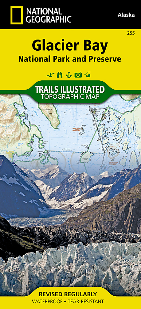
<p> <span style="color: rgb(0, 0, 0); font-family: 'Helvetica Neue', Helvetica, sans-serif, Arial; line-height: 16.363636016845703px;">Prachtige geplastificeerde kaart van het nationaal park. Met alle recreatieve voorzieningen als campsites, maar ook met topografische details en wandelroutes ed. Door uitgekiend kleurgebruik zeer prettig in gebruik. Scheur en watervast!</span></p> <div> This Trails Illustrated map for Glacier Bay National Park, Glacier Bay National Preserve, and surrounding area and surrounding area in Alaska's panhandle is perfect for hiking, camping, boating, paddling, and wildlife viewing in this scenic, rugged frontier.</div> <div> </div> <div> <span style="font-size: 12px;">This two-sided map includes Glacier Bay National Park, Glacier Bay National Preserve, Glacier Bay Wilderness, portions of Tongass National Forest, Chicagof Island, Endicott River Wilderness, Haines State Forest and Resource Management Area, Chilkat State Park, Chilkat Islands, Sullivan Island State Marine Park, Pleasant Island, Lemesurier Island, Inian Islands, and Tatshenshini Alsek Park. Waterways include the Gulf of Alaska, Glacier Bay, Cross Sound, Icy Strait, Lynn Canal, Geikie Inlet, Muir Inlet, Tarr Inlet, Jophns Hopkins Inlet, Tituya Bay, Taylor Bay, North Passage, Berners Bay, Chilkoot Inlet, Chilkat Inlet, Wachusett Inlet, Queen Inlet, Rendu Inlet, Tidal Bay, Scidmore Bay, and more. Water depths for Glacier Bay and its inlets are also shown. The map has detailed insets of Gustavus, Tarr Inlet and Johns Hopkins Inlet, and Lamplugh Glacier. Natural features include the Fairweather Range, Brady Glacier, St. Elias Mountains, Takhins Mountains, Chilkat Range, Carroll Glacier, Riggs Glacioer, McBride Glacier, and more. Includes UTM tick marks for use with your GPS unit.</span></div>
€16,95
Bekijk product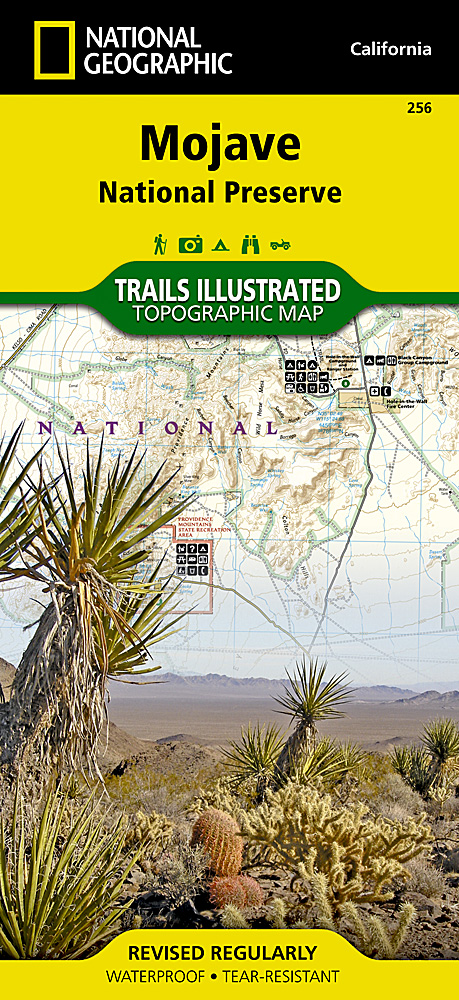
<p> Prachtige geplastificeerde kaart van het nationaal park. Met alle recreatieve voorzieningen als campsites, maar ook met topografische details en wandelroutes ed. Door uitgekiend kleurgebruik zeer prettig in gebruik. Scheur en watervast!</p> <p> This beautiful waterproof and tear-resistant map of the Mojave National Preserve is useful for all types of recreational activities. <span style="font-size: 12px;">Trails are classified by use - hiking, horse and hike, mountain bike, shared use, or motorized - and includes a trail chart showing trail name, location, and allowed use. </span></p>
€17,95
Bekijk product