
Beantwoord enkele vragen, en binnen seconden geeft AI je een persoonlijk aankoopadvies op maat.
Beantwoord enkele vragen, en binnen seconden geeft AI je een persoonlijk aankoopadvies op maat.
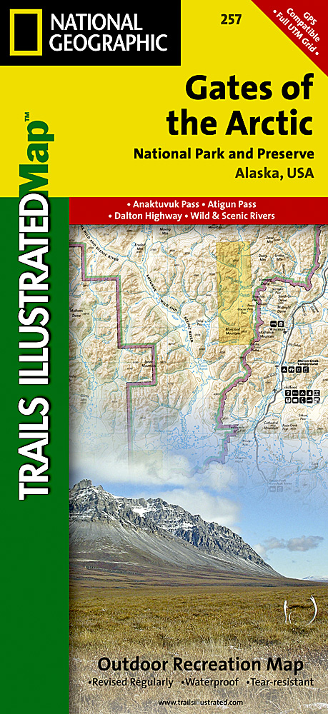
<p> <span style="color: rgb(0, 0, 0); font-family: 'Helvetica Neue', Helvetica, sans-serif, Arial; line-height: 16.363636016845703px;">Prachtige geplastificeerde kaart van het nationaal park. Met alle recreatieve voorzieningen als campsites, maar ook met topografische details en wandelroutes ed. Door uitgekiend kleurgebruik zeer prettig in gebruik. Scheur en watervast!</span></p> <div> <div> Let National Geographic's Trails Illustrated map for Gates of the Arctic National Park and Preserve guide you on your adventure in this remote wilderness of northern Alaska. With neither roads or trails within the park, the map's contour lines, elevations, labeled peaks and summits, water features will be essential in your navigation of the area. Coverage includes many land and water points of interest within the park, as well as in neighboring areas, including the Brooks Range; Noatak, Alatna, John, Tinayguk and Koyukuk Wild and Scenic Rivers; Schwatka and Endicott Mountains; Yukon Flats and Kanuti National Wildlife Refuge Area; Noatak National Preserve; Walker Lake; Anaktuvuk Pass; and the Continental Divide. Also pinpointed are the area's bush airstrips; Marion Creek and Galbraith Lake campgrounds; the communities of Wiseman, Coldfoot, Evansville and Bettles; and a nearly 200 mile stretch of the Dalton Highway with its roadside facilities.</div> <div> </div> <div> The reverse side of the map features a spectacular map of Alaska, mapped with all of her national parks and preserves, along with background information about each one. Detailed information about Gates of the Arctic National Park and Preserve is provided, as are trip planning tips, backcountry activities and safety tips, minimum impact guidelines and essential contact information. This expertly researched map was created in cooperation with the National Park Service, Bureau of Land Management and others.</div> <div> </div> <div> Every Trails Illustrated map is printed on "Backcountry Tough" waterproof, tear-resistant paper. A full UTM grid is printed on the map to aid with GPS navigation.</div> <div> </div> <div> Other features found on this map include: Alatna River, Brooks Range, Chandler Lake, Cockedhat Mountain, Easter Creek, Endicott Mountains, Fish Creek, Gates of the Arctic National Park, Gates of the Arctic National Preserve, Iniakuk Lake, Jim River, John River, Lake Selby, Mauneluk River, Middle Fork Koyukuk River, Mount Igikpak, Nigu River, Noatak National Preserve, North Fork Koyukuk River, Norutak Lake, Nutuvukti Lake, Reed River, Schwatka Mountains, South Fork Koyukuk River, Walker Lake.</div> </div> <p> </p>
€16,95
Bekijk product
<p> Prachtige geplastificeerde kaart van het nationaal park. Met alle recreatieve voorzieningen als campsites, maar ook met topografische details en wandelroutes ed. Door uitgekiend kleurgebruik zeer prettig in gebruik. Scheur en watervast!</p> <p> Coverage of the Old Faithful area of Yellowstone National Park includes Heart Lake BMA, Pitchstone Plateau, Bechler Ranger Station, South Entrance, Teton Wilderness, John D. Rockefeller Jr Memorial Parkway, Jedediah Smith Wilderness, Winegar Hole Wilderness, Bechler Canyon, Cascade Corner, Firehole BMA, Shoshone Lake, Western half of Yellowstone Lake. Includes UTM grids for use with your GPS unit.</p>
€14,95
Bekijk product
<div> Prachtige geplastificeerde kaart van het nationaal park. Met alle recreatieve voorzieningen als campsites, maar ook met topografische details en wandelroutes ed. Door uitgekiend kleurgebruik zeer prettig in gebruik. Scheur en watervast!</div> <div> </div> <div> Coverage of the Tower / Canyon area of Yellowstone National Park includes Canyon Village, Tower - RooseveltWashburn BMA, Antelope BMA, Mirror Plateau BMA, Absaroka Beartooth Wilderness, Gallatin National Forest, Northeast entrance. Includes UTM grids for use with your GPS unit.</div>
€14,95
Bekijk product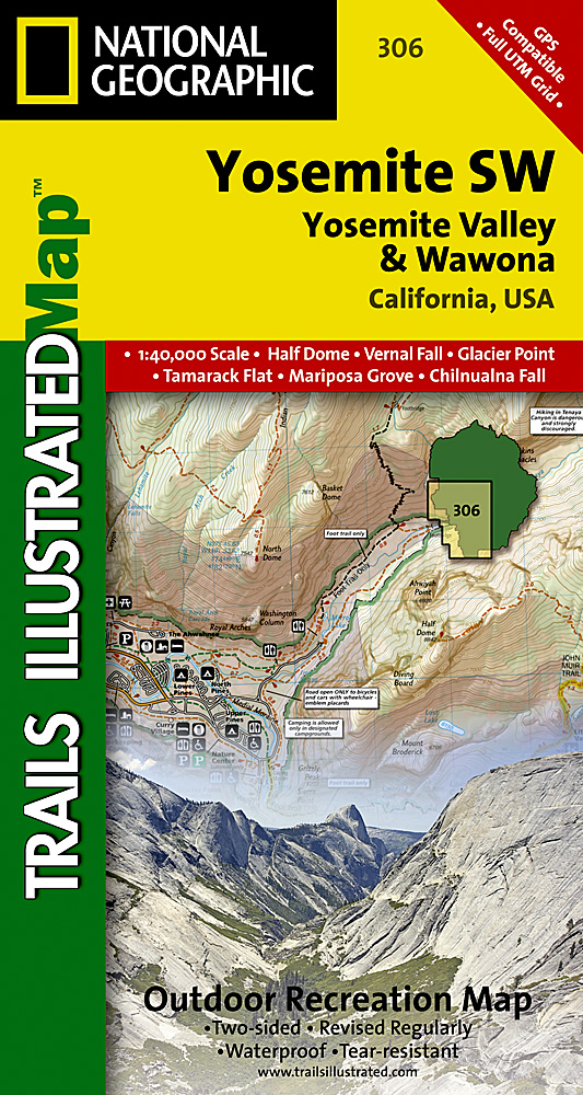
<div> Prachtige geplastificeerde kaart van het nationaal park. Met alle recreatieve voorzieningen als campsites, maar ook met topografische details en wandelroutes ed. Door uitgekiend kleurgebruik zeer prettig in gebruik. Scheur en watervast!</div> <div> </div> <div> Coverage of the Yosemite Valley and Wawona area of Yosemite National Park includes Sierra National Forest, Yosemite Wilderness, Stanislaus National Forest. Yosemite Valley, Pioneer Yosemite History Center, Badger Pass Ski Area. Includes UTM grids for use with your GPS unit.</div>
€14,95
Bekijk product
<p> <span style="color: rgb(0, 0, 0); font-family: 'Helvetica Neue', Helvetica, sans-serif, Arial; line-height: 16px;">Prachtige geplastificeerde kaart van het nationaal park. Met alle recreatieve voorzieningen als campsites, maar ook met topografische details en wandelroutes ed. Door uitgekiend kleurgebruik zeer prettig in gebruik. Scheur en watervast!</span></p> <p> Coverage of the Yosemite Valley and Wawona area of Yosemite National Park includes Sierra National Forest, Yosemite Wilderness, Stanislaus National Forest. Yosemite Valley, Pioneer Yosemite History Center, Badger Pass Ski Area. Includes UTM grids for use with your GPS unit.</p>
€14,95
Bekijk product
<p> <span style="color: rgb(0, 0, 0); font-family: 'Helvetica Neue', Helvetica, sans-serif, Arial; line-height: 16px;">Prachtige geplastificeerde kaart van het nationaal park. Met alle recreatieve voorzieningen als campsites, maar ook met topografische details en wandelroutes ed. Door uitgekiend kleurgebruik zeer prettig in gebruik. Scheur en watervast!</span></p> <p> Coverage of the Tuolomne Meadows and Hoover Wilderness area of Yosemite National Park includes Ansel Adams Wilderness, Yosemite Wilderness, Mono Basin National Forest Scenic Area, Monroe Hall Research Natural Area, Humbolt - Toiyabe National Forest, Twin Lakes. Includes UTM grids for use with your GPS unit.</p>
€14,95
Bekijk product
<p> <span style="color: rgb(0, 0, 0); font-family: 'Helvetica Neue', Helvetica, sans-serif, Arial; line-height: 15.994318008422852px; font-size: 12px;">Prachtige geplastificeerde kaart van het nationaal park. Met alle recreatieve voorzieningen als campsites, maar ook met topografische details en wandelroutes ed. Door uitgekiend kleurgebruik zeer prettig in gebruik. Scheur en watervast!</span></p> <p> This sectional map of Canyonlands National Park zooms in on the Island in the Sky District in the northern area of the park. This map provides more detail of this area than the full Canyonlands National Park map with an enhanced scale. The map includes trail and backcountry road charts, backcountry zones and campsites, trail and road mileages, as well as backcountry permit and regulations information.</p>
€14,95
Bekijk product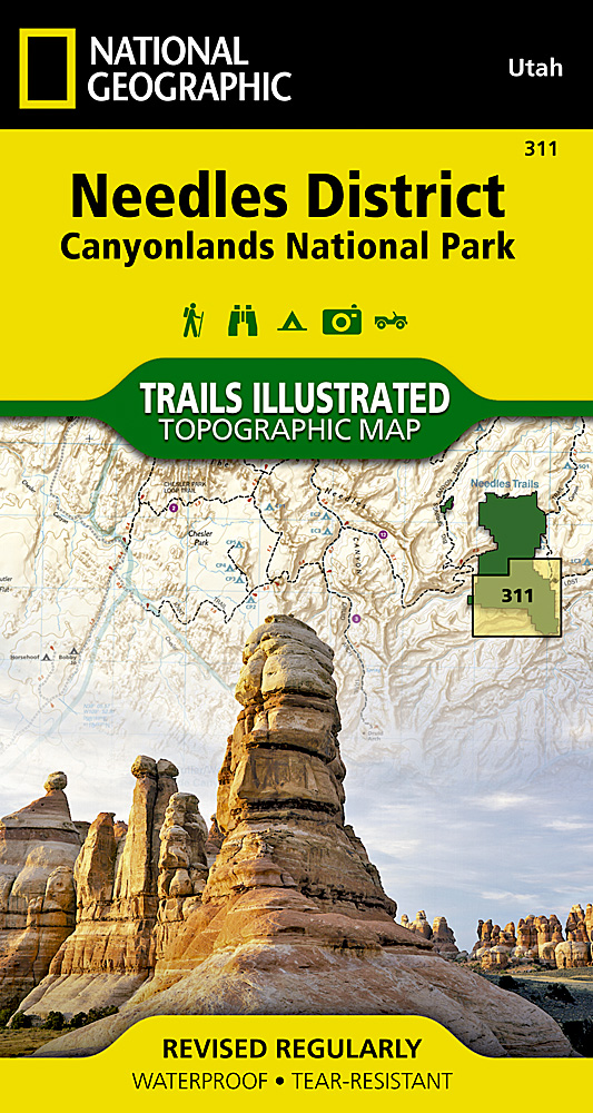
<p> <span style="color: rgb(0, 0, 0); font-family: 'Helvetica Neue', Helvetica, sans-serif, Arial; line-height: 16.363636016845703px;">Prachtige geplastificeerde kaart van het bekende nationaal park. Met alle recreatieve voorzieningen als campsites, maar ook met topografische details en wandelroutes ed. Door uitgekiend kleurgebruik zeer prettig in gebruik. Scheur en watervast!</span></p> <p> <span style="font-size: 12px;">This sectional map of Canyonlands National Park zooms in on the Island in the Sky District in the northern area of the park. This map provides more detail of this area than the full Canyonlands National Park map with an enhanced scale. The map includes trail and backcountry road charts, backcountry zones and campsites, trail and road mileages, as well as backcountry permit and regulations information.</span></p> <p> </p>
€14,95
Bekijk product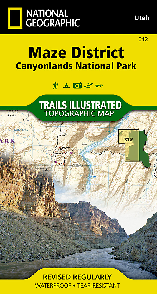
<p> <span style="color: rgb(0, 0, 0); font-family: 'Helvetica Neue', Helvetica, sans-serif, Arial; line-height: 16.363636016845703px;">Prachtige geplastificeerde kaart van het bekende nationaal park. Met alle recreatieve voorzieningen als campsites, maar ook met topografische details en wandelroutes ed. Door uitgekiend kleurgebruik zeer prettig in gebruik. Scheur en watervast!</span></p> <p> This sectional map of Canyonlands National Park zooms in on the Maze District in the western area of the park. This map provides more detail of this area than the full Canyonlands National Park map with an enhanced scale. The map includes trail and backcountry road charts, backcountry zones and campsites, trail and road mileages, as well as backcountry permit and regulations information.</p>
€14,95
Bekijk product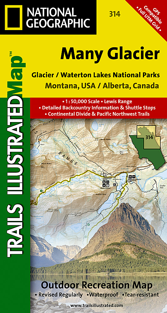
<div> <span style="color: rgb(0, 0, 0); font-family: 'Helvetica Neue', Helvetica, sans-serif, Arial; line-height: 16.363636016845703px;">Prachtige geplastificeerde kaart van het bekende nationaal park. Met alle recreatieve voorzieningen als campsites, maar ook met topografische details en wandelroutes ed. Door uitgekiend kleurgebruik zeer prettig in gebruik. Scheur en watervast!</span></div> <div> </div> <div> Located just north of Kalispell in Montana's northwest corner, Glacier National contains an abundance of recreational opportunities for outdoor enthusiasts of all interests.</div> <div> </div> <div> This detailed topographic recreation map contains carefully researched trails, campsites, forest service roads, and points-of-interests, for the Many Glacier section of the park. Two additional maps for the North Fork and the Two Medicine regions of the park along with a comprehensive Glacier National Park Trails Illustrated map are also available. <span style="font-size: 12px;">An enhanced scale of 1:50,000, useful UTM and Latitude/Longitude grids, mileage charts, and other navigation features make the North Fork sectional the best map available for the western side of the park.</span></div> <div> </div> <div> The North Side of the Map Includes: Waterton Lakes National Park, Lower, Middle, and Upper Waterton Lakes, Blakiston Falls, Prince of Wales Hotel, Upper Kintla Lake, Continental Divide Trail, Goat Haunt, Pacific Northwest Trail, and more..</div> <div> </div> <div> The South Side of the Map Includes: Cosley Lake, Glenns Lake, Ipasha Glacier, Chaney Glacier, Lake Josephine, Lake Sherburne, St Mary Lake, Many Glacier Hotel, Swiftcurrent Pass, Continental Divide Trail, Pacific Northwest Trail, and more...</div> <div> </div> <div> Like all Trails Illustrated Maps, the Glacier Sectionals are printed on a highly durable waterproof, tear-resistant material designed to stand up to elements.</div>
€14,95
Bekijk product