
Beantwoord enkele vragen, en binnen seconden geeft AI je een persoonlijk aankoopadvies op maat.
Beantwoord enkele vragen, en binnen seconden geeft AI je een persoonlijk aankoopadvies op maat.
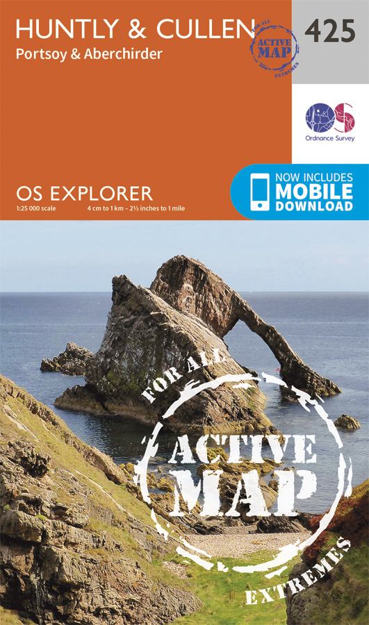
<div> Met zijn 4cm voor 1 km (2 ½ cm voor 1 mijl) schaal, is de OS Explorer kaartenserie de ideale en meest gedetailleerde kaartenreeks voor mensen die graag outdoor-activiteiten zoals fietsen, wandelen, paardrijden, klimmen en watersporten.</div> <div> </div> <div> Deze kaart is nog gedetailleerder dan de 'gewone' Landranger maps. Voor- en achterzijde bedrukt! Zeker op de moors en andere natuurgebieden van onschatbare waarden met echt alle aspecten van het landschap op de kaart ingetekend. Zeer goede detailkaart met topografische ondergrond. Hierop zijn toeristische symbolen van bezienswaardigheden ingetekend, daarnaast staan bijvoorbeeld campings en jeugdherbergen vermeld en - voor wandelaars het belangrijkst - alle right of way paden en Lange afstands Wandelpaden zijn er op te vinden. De ideale kaart voor het wandelen in Engeland, Wales of Schotland.</div> <div> </div> <div> These highly detailed maps show all the administrative boundaries, settlements as small as isolated farms, the road network down to unfenced roads and country tracks, and field boundaries (hedges and drystone walls) which make navigation across the countryside much easier. Steep gradients on roads are indicated. Various landmarks, e.g. powerlines, archaeological sites, windmills, churches and lighthouses are shown and additional graphics indicate natural terrain features such as cliffs, scree, mud and vegetation variations. The contour interval is 5 metres in the lower parts of the country and 10 metres in the uplands, and spot heights are marked. Each map covers an area of 30 x 20km (i.e. approx. 19 x 12 miles), with some double-sided maps covering more, as indicated in the individual descriptions. The maps are fully GPS compatible, with the National Grid shown at 1km intervals and latitude and longitude indicated by margin ticks at 1'.</div> <div> </div> <div> The Explorer series has replaced the earlier, green-cover Pathfinder maps. The Explorer series is now complete and covers all of England, Wales & Scotland. Some sheets for popular areas like the National Parks are still branded as Outdoor Leisure (OL) maps, but are now included in this series as the cartography is the same as that in the Explorer Maps. The Explorer maps offer a substantial improvement on the Pathfinder series, with greater use of colour, larger area per map, and stronger emphasis on information for ramblers and tourists.</div> <div> </div> <div> This series is ideal for walking and other outdoor pursuits and each map shows a large amount of information for ramblers and tourists. Public rights of way are shown (except in Scotland), together with other routes with public access: National Trails and Recreational Paths, permitted paths and bridleways, and selected cycle routes. Open access land created under the Countryside and Rights of Way Act 2000 is marked. Tourist information includes caravan and camp sites, Park & Ride locations, recreation/leisure/sport centres, museums, historic buildings, English Heritage and National Trust sites, rural pubs, etc. The map legend is in English only, except for the tourist information content which is also in French and German</div>
€25,95
Bekijk product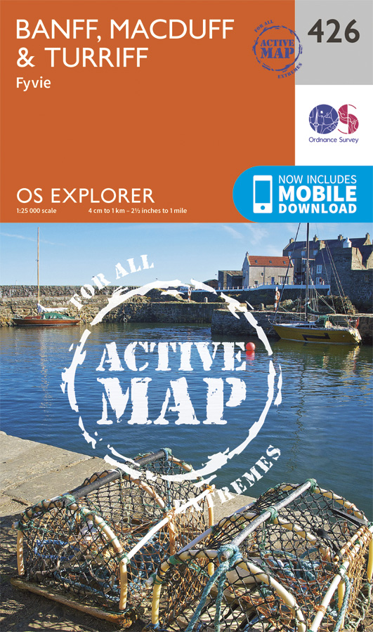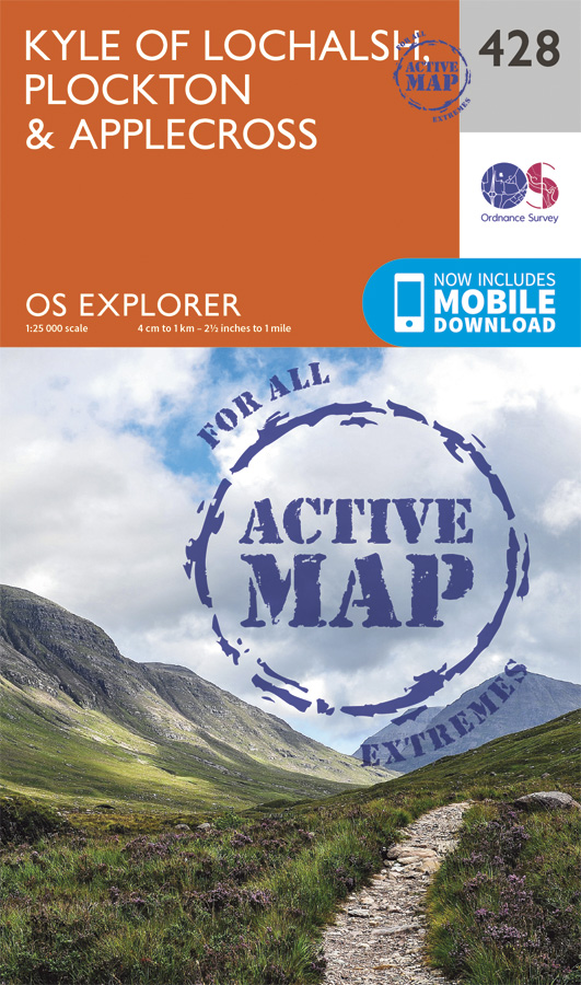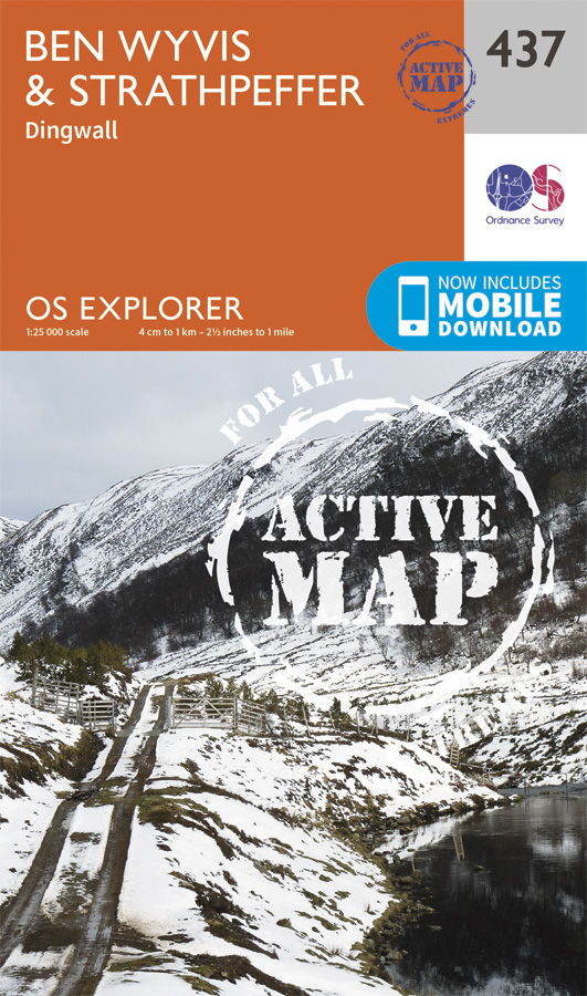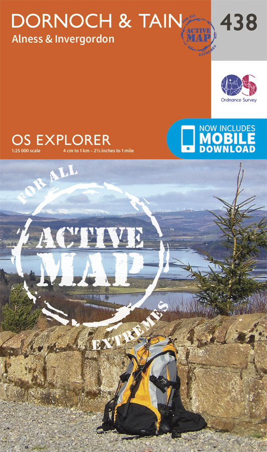
<div> Explore Dornoch Firth, a National Scenic Area renowned for its beauty and rare wildlife. Stroll the golden sandy beaches of Dornoch, stretching for miles of golden sand.</div> <div> </div> <div> - Visit Dornoch Cathedral and climb Fyrish to the west of Alness, where a sculpted monument offers amazing views over the Cromarty Firth</div> <div> - Discover Tain, Scotland’s oldest royal burgh, and climb Tain Hill for magnificent views over Dornoch Firth</div> <div> - Walk, hike, cycle, climb or kayak through the glens and shorelines of Easter Ross</div> <div> </div> <div> OS Explorer Active Maps:</div> <div> </div> <div> - 1:25,000 scale (4 cm to 1 km – 2½ inches to 1 mile).</div> <div> - Laminated with a weatherproof finish, also suitable for dry-wipe pens.</div> <div> - Great for walkers, hikers, cyclists, families, dog walkers, and horse riders.</div> <div> - Includes roads, rights of way, permissive paths and bridleways, plus essential visitor information.</div> <div> - Free digital download included.</div> <div> - Other Ordnance Survey Explorer maps of Easter Ross include Black Isle map 432 and Lairg, Bonar Bridge & Golspie map 441.</div>
€25,95
Bekijk product
<div> Met zijn 4cm voor 1 km (2 ½ cm voor 1 mijl) schaal, is de OS Explorer kaartenserie de ideale en meest gedetailleerde kaartenreeks voor mensen die graag outdoor-activiteiten zoals fietsen, wandelen, paardrijden, klimmen en watersporten.</div> <div> </div> <div> Deze kaart is nog gedetailleerder dan de 'gewone' Landranger maps. Voor- en achterzijde bedrukt! Zeker op de moors en andere natuurgebieden van onschatbare waarden met echt alle aspecten van het landschap op de kaart ingetekend. Zeer goede detailkaart met topografische ondergrond. Hierop zijn toeristische symbolen van bezienswaardigheden ingetekend, daarnaast staan bijvoorbeeld campings en jeugdherbergen vermeld en - voor wandelaars het belangrijkst - alle right of way paden en Lange afstands Wandelpaden zijn er op te vinden. De ideale kaart voor het wandelen in Engeland, Wales of Schotland.</div> <div> </div> <div> These highly detailed maps show all the administrative boundaries, settlements as small as isolated farms, the road network down to unfenced roads and country tracks, and field boundaries (hedges and drystone walls) which make navigation across the countryside much easier. Steep gradients on roads are indicated. Various landmarks, e.g. powerlines, archaeological sites, windmills, churches and lighthouses are shown and additional graphics indicate natural terrain features such as cliffs, scree, mud and vegetation variations. The contour interval is 5 metres in the lower parts of the country and 10 metres in the uplands, and spot heights are marked. Each map covers an area of 30 x 20km (i.e. approx. 19 x 12 miles), with some double-sided maps covering more, as indicated in the individual descriptions. The maps are fully GPS compatible, with the National Grid shown at 1km intervals and latitude and longitude indicated by margin ticks at 1'.</div> <div> </div> <div> The Explorer series has replaced the earlier, green-cover Pathfinder maps. The Explorer series is now complete and covers all of England, Wales & Scotland. Some sheets for popular areas like the National Parks are still branded as Outdoor Leisure (OL) maps, but are now included in this series as the cartography is the same as that in the Explorer Maps. The Explorer maps offer a substantial improvement on the Pathfinder series, with greater use of colour, larger area per map, and stronger emphasis on information for ramblers and tourists.</div> <div> </div> <div> This series is ideal for walking and other outdoor pursuits and each map shows a large amount of information for ramblers and tourists. Public rights of way are shown (except in Scotland), together with other routes with public access: National Trails and Recreational Paths, permitted paths and bridleways, and selected cycle routes. Open access land created under the Countryside and Rights of Way Act 2000 is marked. Tourist information includes caravan and camp sites, Park & Ride locations, recreation/leisure/sport centres, museums, historic buildings, English Heritage and National Trust sites, rural pubs, etc. The map legend is in English only, except for the tourist information content which is also in French and German</div>
€25,95
Bekijk product
<div> Zeer goede detailkaart met topografische ondergrond. Kleurgebruik is goed over nagedacht: bijzonder goed leesbaar en helder kaartbeeld. Hierop zijn toeristische symbolen van bezienswaardigheden ingetekend, daarnaast staan bijvoorbeeld campings en jeugdherbergen vermeld en - voor wandelaars het belangrijkst - alle right of way paden en Lange afstands Wandelpaden zijn er op te vinden. De ideale kaart voor het wandelen in Engeland, Wales of Schotland. De kaarten zijn te gebruiken met GPS (UTM OSGB36), de legenda is in het Engels, Frans en Duits. </div> <div> </div> <div> Plaatsen op deze kaart: Ballater, Crathie, Coilacriech, Inverenzie, Millfield, Aboyne, Kincardie O’ Neill, Dinnet, Torphins, Lumphanan, Tarland, Logie Coldstone, Corgarff, Glenkindie, Kildrummy, Milton of Cushnie, Muir of Fowlis, Tullynessle, Lumsden, Auchleven, Leslie, Clatt, Rhynie, Insch, Colpy, Gartly, Cabrach, Bridgend.</div>
€25,95
Bekijk product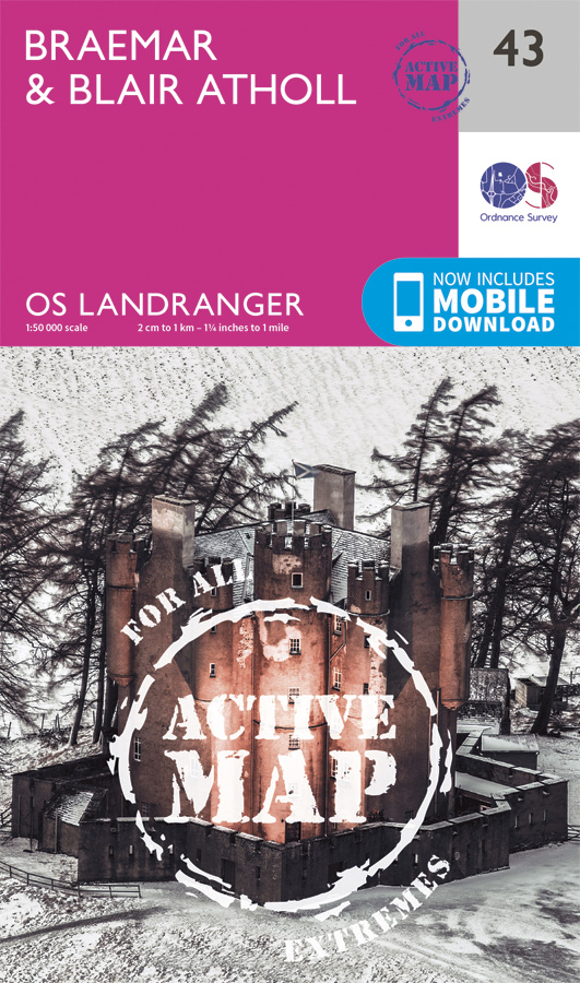
<div> Zeer goede detailkaart met topografische ondergrond. Kleurgebruik is goed over nagedacht: bijzonder goed leesbaar en helder kaartbeeld. Hierop zijn toeristische symbolen van bezienswaardigheden ingetekend, daarnaast staan bijvoorbeeld campings en jeugdherbergen vermeld en - voor wandelaars het belangrijkst - alle right of way paden en Lange afstands Wandelpaden zijn er op te vinden. De ideale kaart voor het wandelen in Engeland, Wales of Schotland. De kaarten zijn te gebruiken met GPS (UTM OSGB36), de legenda is in het Engels, Frans en Duits. </div> <div> </div> <div> Plaatsen op deze kaart: Braemar, Blair Atholl, Dalhally, Cray, Brewlands Bridge, Enochdhu, Kirkmicheal, Straloch, Killiecrankie, Tirinie, Calvine, Aberdeenshire, Grampian Mountains, Cairngorms National Park</div>
€25,95
Bekijk product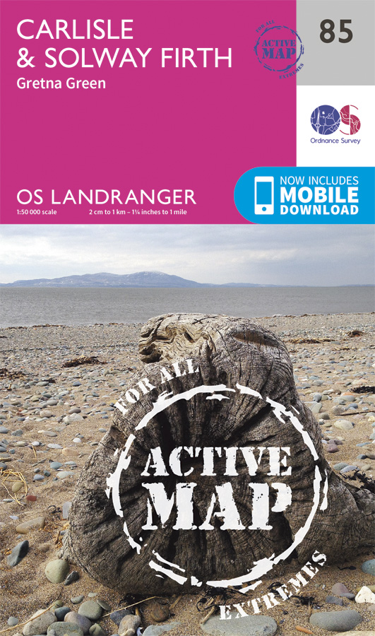
<div> Zeer goede detailkaart met topografische ondergrond. Kleurgebruik is goed over nagedacht: bijzonder goed leesbaar en helder kaartbeeld. Hierop zijn toeristische symbolen van bezienswaardigheden ingetekend, daarnaast staan bijvoorbeeld campings en jeugdherbergen vermeld en - voor wandelaars het belangrijkst - alle right of way paden en Lange afstands Wandelpaden zijn er op te vinden. De ideale kaart voor het wandelen in Engeland, Wales of Schotland. De kaarten zijn te gebruiken met GPS (UTM OSGB36), de legenda is in het Engels, Frans en Duits. </div> <div> </div> <div> Plaatsen op deze kaart: Carlisle, Solway, Sebergham, Mealsgate, Aspatria, Allonby, Westnewton, Mawbray, Wigton, Welton, Thursby, Dalton, Aikton, Abbey Town, Silloth, Kirkbride, Kirkbampton, Burgh by Sands, Houghton, Smithfield, Longtown, Gretna Green, Netherby, Canonbie, Chapelknowe, Waterbeck, Ecclefechan, Eastriggs, Annan, Brydekirk, Powfoot, Clarencefield, Mouswald, Dalton Hightae and Kettleholm</div> <div> </div> <div> Ingetekende wandelroute</div> <div> Hadrian's Wall Path</div> <div> </div>
€25,95
Bekijk product