
Beantwoord enkele vragen, en binnen seconden geeft AI je een persoonlijk aankoopadvies op maat.
Beantwoord enkele vragen, en binnen seconden geeft AI je een persoonlijk aankoopadvies op maat.

<p> Prachtige geplastificeerde kaart van het bekende nationaal park. Met alle recreatieve voorzieningen als campsites, maar ook met topografische details en wandelroutes ed. Door uitgekiend kleurgebruik zeer prettig in gebruik. Scheur en watervast!</p> <p> Coverage includes Ashley National Forest; Flaming Gorge National Recreation Area; Eastern Uinta Mountains; Steinaker State Recreation Area; Green River, Wyoming; McKinnon Junction, Dutch John, Dry Fork, Manila and Greendale; Matt Warner, Cedar View and Beaver Meadow reservoirs; and the Red Canyon of the Green River. Includes UTM tick marks for use with your GPS unit.</p>
€17,95
Bekijk product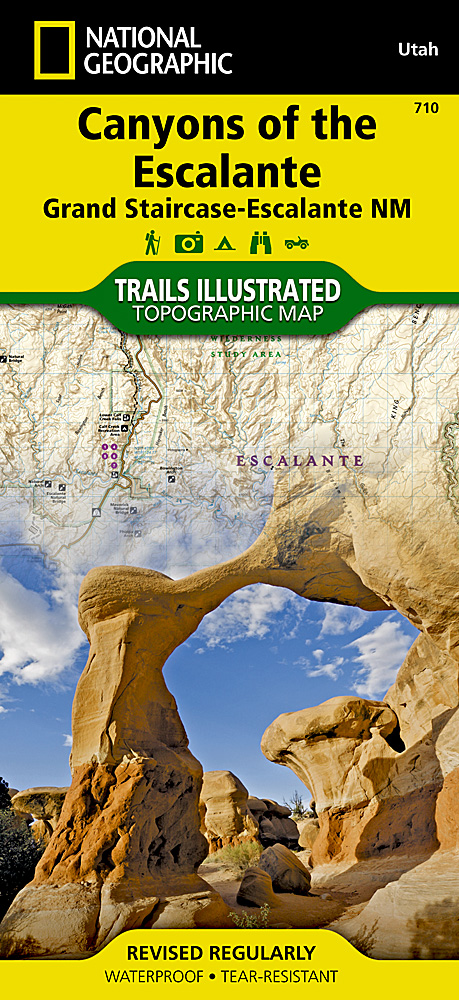
<p> Prachtige geplastificeerde kaart van het bekende nationaal park. Met alle recreatieve voorzieningen als campsites, maar ook met topografische details en wandelroutes ed. Door uitgekiend kleurgebruik zeer prettig in gebruik. Scheur en watervast!</p> <p> Coverage includes BLM - Escalante Resource Area, Dixie National Forest, Glen Canyon National Recreation Area; Box Hollow Wilderness Area, Death Hollow Natural Area and Wolverine Petrified Wood Natural Area; Boulder Town, Escalante and Devils Garden; Fiftymile Bench, Escalante Canyons and surrounding area, Escalante River and northwest Lake Powell. Includes UTM grids for use with your GPS unit.</p>
€17,95
Bekijk product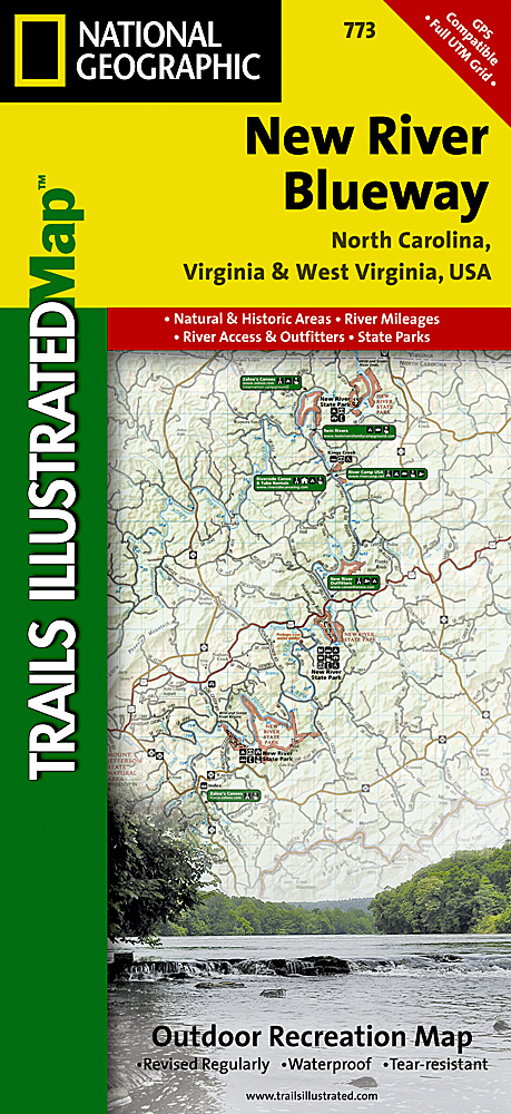
<p> Prachtige geplastificeerde kaart van het bekende nationaal park. Met alle recreatieve voorzieningen als campsites, maar ook met topografische details en wandelroutes ed. Door uitgekiend kleurgebruik zeer prettig in gebruik. Scheur en watervast!</p> <p> George Washington Nat. Forest, Jefferson Nat. Forest, New River Canoe Trail, Claytor Lake State Park, Mt. Jefferson State Park, New River Trail State Park, New River State Park, Shot Tower Hist. Park, River Outfitter Locations. Towns: Boone, NC; Jefferson, NC; Mouth of Wilson, VA; Fries Junction, VA; Jackson Ferry, VA; Radford, VA; Pulaski, VA; Pearisburg, VA; Peterstown, WV. Includes UTM grids for use with your GPS unit.</p>
€17,95
Bekijk product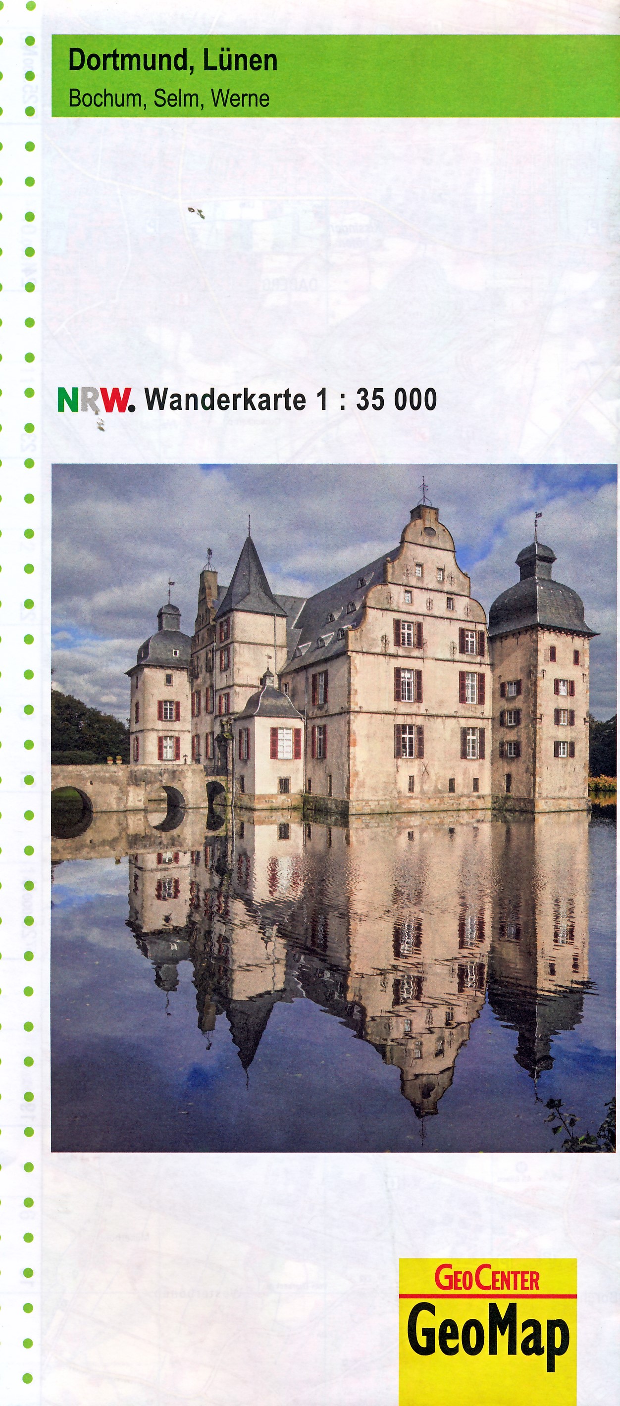
<p> NRW Wanderkarte 1:35 000 Dortmund, Lünen, Bochum, Selm, Werne auf Grundlage der amtlichen, topographischen Geobasisdaten des Landes NRW und dem Freizeitkataster NRW. Wanderwege, Freizeiteinrichtungen, Sehenswürdikeiten.</p>
€11,95
Bekijk product
<p> Prachtige geplastificeerde kaart van het bekende nationaal park. Met alle recreatieve voorzieningen als campsites, maar ook met topografische details en wandelroutes ed. Door uitgekiend kleurgebruik zeer prettig in gebruik. Scheur en watervast!</p> <div> Coverage includes Pharaoh Lake and Hoffman Notch Wilderness Areas; Lake George, Hammond Pond, and Wilcox Lake Wild Forests; Ticonderoga, Schroon Lake, Warrensburg, and Lake Luzerne. Includes UTM grids for use with your GPS unit and a trail mileage matrix. <span style="font-size: 12px;">This map was produced in cooperation with the Adirondack Mountain Club (ADK). </span></div>
€17,95
Bekijk product
<p> <span style="color: rgb(0, 0, 0); font-family: 'Helvetica Neue', Helvetica, sans-serif, Arial; line-height: 16.363636016845703px;">Prachtige geplastificeerde kaart van het bekende nationaal park. Met alle recreatieve voorzieningen als campsites, maar ook met topografische details en wandelroutes ed. Door uitgekiend kleurgebruik zeer prettig in gebruik. Scheur en watervast!</span></p> <div> National Geographic's Trails Illustrated map of Adirondack Park Northville/Raquette Lake is a two-sided, waterproof, topographic trail map designed to meet the needs of outdoor enthusiasts with unmatched durability and detail. This map was created in cooperation with the Adirondack Mountain Club and is loaded with valuable recreation information for boating, hiking, fishing, sailing, cycling, ice fishing, skiing, and snowmobiling. Trails and major roads are clearly distinguished, from the picturesque foothills to the northern peaks and around lakes of all sizes. Campgrounds, climbing areas, marinas, and museums are labeled and easy to find and boundaries for park lands, wilderness, primitive, forest, and protected areas are clearly marked. Discover the Adirondack's wild, rugged and beautiful terrain, with detailed elevation contours, shaded relief, vegetation, and water features.</div> <div> </div> <div> Coverage includes Siamese Ponds, Silver Lake, West Canada Lake, and Blue Ridge Wilderness Areas; Wilcox Lake, Shaker Mountain, Ferris Lake, Moose River Plains, Sargent Ponds, Blue Mountain, and Vanderwhacker Mountain Wild Forests; and the Northville-Lake Placid Trail from Northville to Blue Mountain Wild Forest. Also includes Mayfield, Speculator, Indian Lake, and North Creek.</div> <div> </div> <div> The Adirondack Park Northville/Raquette Lake map is designed and printed in the United States on durable synthetic paper, making it waterproof, tear-resistant, and trail tough – made to head outside and go anywhere you do. The map is two-sided, and is folded to a packable size of 4.25" x 9.25"; unfolded size is 26" x 38".</div> <div> </div> <div> Key Features:</div> <div> • Waterproof and tear-resistant</div> <div> • Updated regularly</div> <div> • Designed and printed in the U.S.A.</div> <div> • Detailed road network, including designations for off-highway roads</div> <div> • Clearly marked trails for hiking, canoeing and more</div> <div> • Detailed topography with shaded relief and clearly defined, color-coded boundaries for parks, wilderness areas, forest and primitive areas.</div> <div> • Hundreds of places-of-interest, including campgrounds, ranger stations, viewpoints, boat launches, canoe carry downs, fishing access points, ski areas, museums, and specialty content unique to each area</div> <div> • UTM and Latitude/Longitude coordinate grid, as well as selected waypoints, and a scale bar for easy and accurate navigation.</div> <p> </p> <div> </div>
€17,95
Bekijk product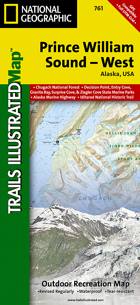
<p> Prachtige geplastificeerde kaart van het bekende nationaal park. Met alle recreatieve voorzieningen als campsites, maar ook met topografische details en wandelroutes ed. Door uitgekiend kleurgebruik zeer prettig in gebruik. Scheur en watervast!</p> <p> Coverage includes Chugach National Forest, Nellie Juan-College Fjord Wilderness Study Area, Granite Bay, South Esther Island, Surprise Cove, Decision Point, Entry Cove, Ziegler Cave and Bettles Bay state marine parks. Whittier and Chenega. Knight, Latouche, Elrington, Evans, Bainbridge, Culross, Esther and Perry islands; Port Wells, Port Nellie Juan and Port Bainbridge; Harriman, College ad Blue fjords. Includes selected anchorages and kayak landings. Includes UTM tick marks for use with your GPS unit.</p>
€17,95
Bekijk product
<div> Zeer gedetailleerde topografische kaart van een deel van Belgie. Deze kaart is bijzonder geschikt voor wandeltochten, bijvoorbeeld in het heuvelachtige gebied van de Ardennen. Wel moet u bedenken dat op deze kaarten wandelroutes als zodanig niet staan ingetekend. Voorzien van alle topografische details als hoogtelijnen, waterlopen, bosgebieden, paden en brandgangen. Hoogtelijnen maken het mogelijk de moeilijkheidsgraad van een wandeling in te schatten. Belangrijke oriëntatiepunten, zoals solitaire bomen, kapelletjes, hoogspanningslijnen, en vele andere, zijn ingetekend.</div> <div> </div> <div> De kaarten zijn voorzien van een gradenoverzicht en UTM grid en daardoor dus te gebruiken voor GPS tochten. Elk kaartblad bedekt een gebied van 160 km2. In grensgebieden zijn de gebieden buiten België in zwart/wit met minder detail uitgevoerd.</div> <div> </div> <div> Op het bijgevoegde overzicht kun u zien waar deze kaart gelegen is: eerst zoekt u het hoofdcijfer waarna de 2 laatste cijfers de daadwerkelijke positie weergeeft. De kaart met het hoofdcijfer is ingedeeld in 4 delen: 1-2 (noordwest), 3-4 (noordoost), 5-6 (zuidwest)en 7-8 (zuidoost).</div>
€10,95
Bekijk product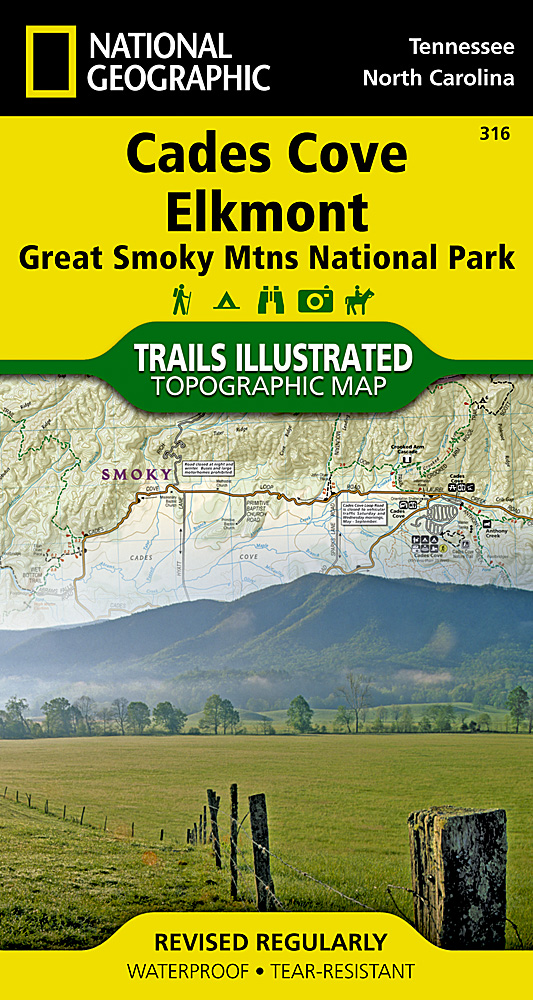
<div> <span style="color: rgb(0, 0, 0); font-family: 'Helvetica Neue', Helvetica, sans-serif, Arial; font-size: 12px; line-height: 16.363636016845703px;">Prachtige geplastificeerde kaart van het bekende nationaal park. Met alle recreatieve voorzieningen als campsites, maar ook met topografische details en wandelroutes ed. Door uitgekiend kleurgebruik zeer prettig in gebruik. Scheur en watervast!</span></div> <div> </div> <div> This title provides an increased scale of one of the most visited National Parks in the US, and one of our more popular map titles. This increased scale will provide greater detail to the backcountry users and Appalachian Trail through-hikers.</div> <div> </div> <div> Great Smoky Mountains National Park is a hiker's paradise with over 800 miles of maintained trails ranging from short legstretchers to strenuous treks that may require backcountry camping. But hiking is not the only reason for visiting the Smokies. Car camping, fishing, picnicking, wildlife viewing and auto touring are popular activities.</div> <div> </div> <div> Coverage Highlights</div> <div> Areas and places featured in this map series (TI316 and TI317) include:</div> <div> • Appalachian Trail</div> <div> • Benton Mackaye Trail</div> <div> • Mountains-to-Sea Trail</div> <div> • Backcountry Campsites</div> <div> • Detailed Trail Mileages</div> <div> • Footbridges</div> <div> • Fords/Stream Crossings</div> <div> • Nature/Interpretive Trails</div> <div> • Scenic Overlooks/Roadside Pull-outs</div> <div> • Cades Cove Driving Loop</div> <div> • Chilowee Mountain, Little Mountain, and Cataloochee Divide</div> <div> • Blue Ridge Parkway</div> <div> • National Forest Service Lands (Cherokee, Pisgah and Nantahala National Forests)</div> <div> • Little Tennessee and Tuckasegee Rivers</div> <div> • Chilhowee and Fontana Lakes</div> <div> • Maryville, Tennessee - Gatlinburg, Tennessee - and Waynesville, North Carolina</div>
€14,95
Bekijk product