
Beantwoord enkele vragen, en binnen seconden geeft AI je een persoonlijk aankoopadvies op maat.
Beantwoord enkele vragen, en binnen seconden geeft AI je een persoonlijk aankoopadvies op maat.
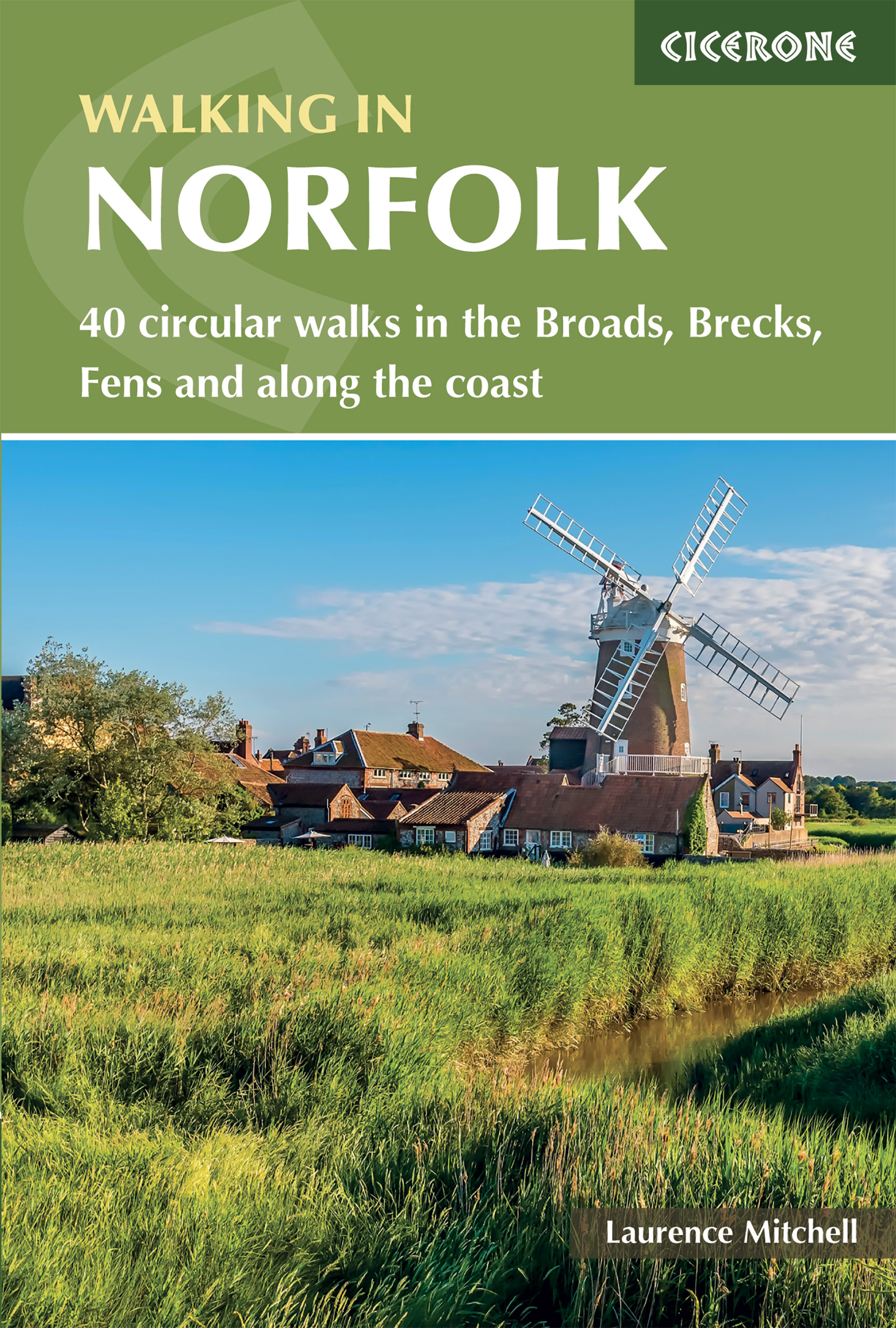
<div> This guidebook describes 40 circular walks in Norfolk, including walks along the coast and walks exploring the Fens and the Broads. From 4 to 12 miles, these mostly flat walks use footpaths, bridleways and quiet country lanes, and some involve parts of long-distance paths, including the Peddars Way, Norfolk Coast Path, Boudica's Way and Weavers Way. The walks are divided into five sections: walks on the northeast coast and the Broads; walks in south Norfolk, the Yare and Waveney; walks in North Norfolk and the Coast; walks in Central Norfolk and Breckland; and walks in West Norfolk and the Fens. All routes are easy to moderate and can be done by anyone of reasonable fitness and enjoyed all year round.</div> <div> </div> <div> Each route is described step-by-step, illustrated with 1:40K OS map extracts and packed with historical, geological and other information about the landscape the route passes through. The Fenland region of Norfolk's far west is flat and low-lying, as are the marshes and waterways of the Broads in the east, but between these two extremes there is a great deal of topography going on. The county is far more varied than most outsiders imagine, with several distinct and unique landscapes.</div> <div> </div> <div> As well as Broads and the Fens, it has the sandy Brecks, rolling farmland, ancient woodland, meandering rivers and the gorgeous North Norfolk coast with its beaches, shingle banks, salt marshes and tidal mud flats.</div>
€20,95
Bekijk product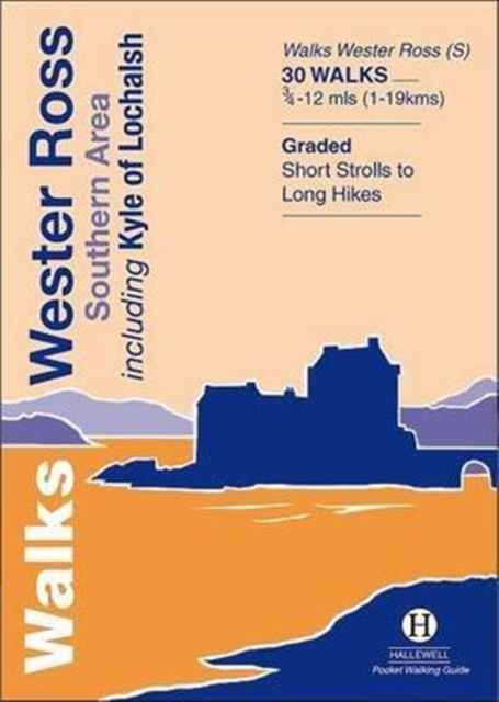
<div> This guide features walks in the southern part of Wester Ross, in the area between Torridon in the north and Glenelg in the south.</div> <div> Walks range from 0.75 mile to 12 miles (1-19kms) and include high passes through the spectacular hill scenery of Torridon, the signposted routes around Applecross, coastal and moor walks and a number of routes around Kyle of Lochalsh and the pretty village of Plockton.</div>
€5,95
Bekijk product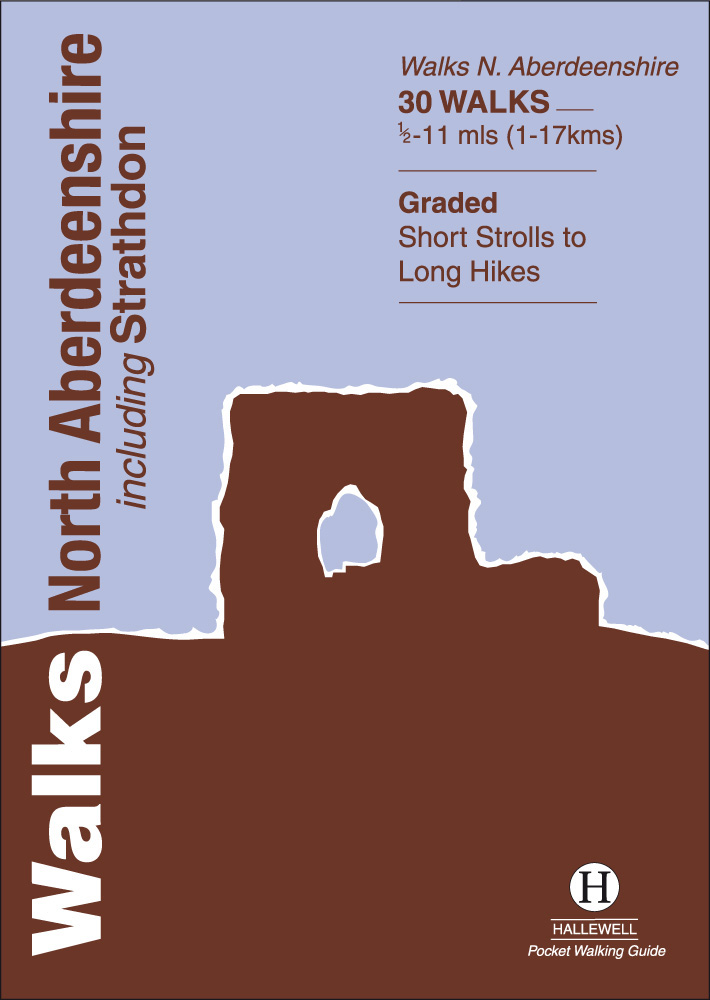
<div> This guide covers hilly Strathdon and the farmland north of Aberdeen, plus the cliffs, beaches and fishing villages of the north-east coast. Walks range from 0.5 miles to 11 miles (1-17km). Routes include: Pennan to Aberdour Bay, Bullers of Buchan and Tap o’ Noth and signposted walks in Strathdon.</div> <div> </div>
€5,95
Bekijk product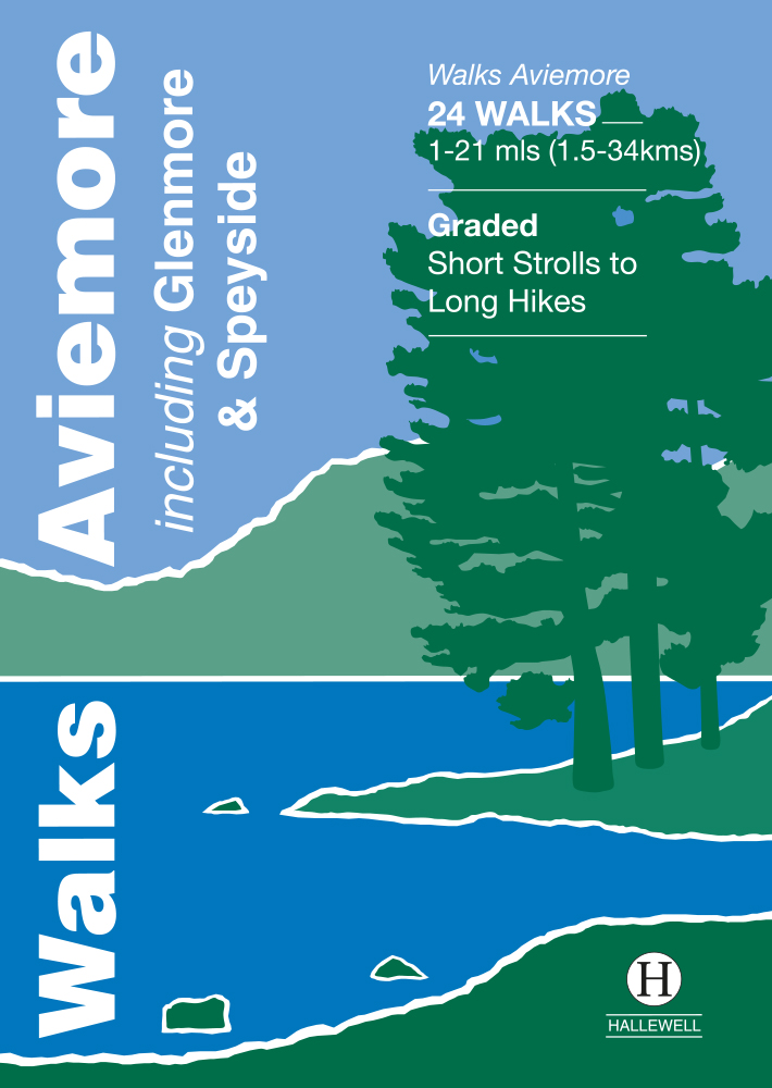
<div> This guide covers an upper stretch of the Spey Valley, from Grantown-on-Spey in the north to Newtonmore in the south. The main walking centres are Aviemore and Glenmore; the bulk of the walking is in the Cairngorm Mountains, the pine woods around Loch Morlich, and the low and rolling Monadhliaths. Walks range from 1 mile to 21 miles (1.5-34kms). Routes include: Loch Garten, Cairn Gorm, Loch Morlich to Lairig Ghru, Loch an Eilein and Creag Bheag. This book was previously published as Walks Speyside, but has been rewalked and revised.</div> <div> </div>
€5,95
Bekijk product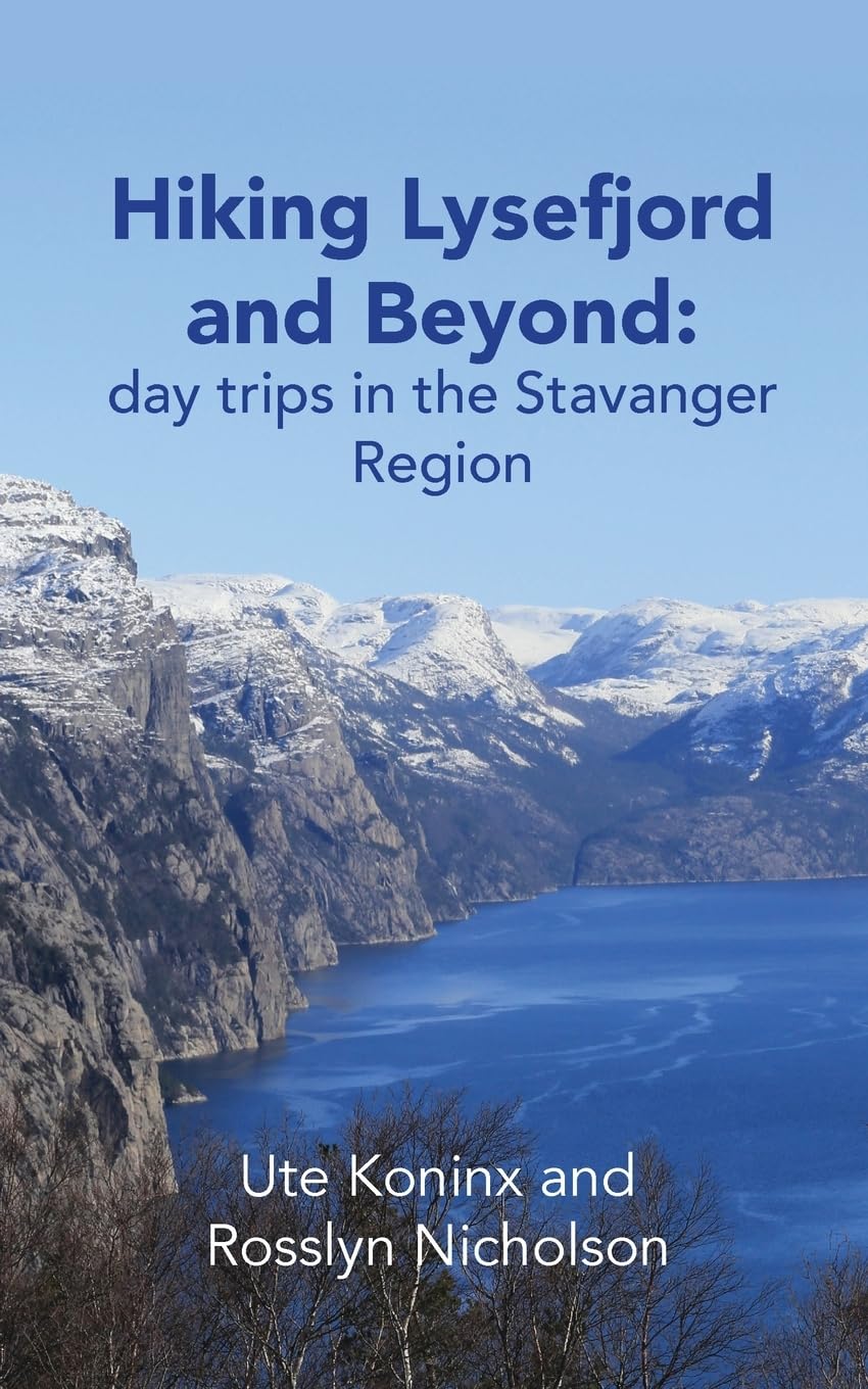
<p> Our hiking guide prints on demand: please disregard "out of stock" notices from online retailers.</p> <p> Explore world-famous hikes and discover hidden gems in Norway's western fjords. Trek up popular Pulpit Rock and Kjeragbolten, or the steep 4444-step staircase at Flørli. Then, continue hiking where others finish. Explore glacier-carved valleys, windswept coastlines and beaches, rugged peaks and thundering waterfalls. 'Hiking Lysefjord and Beyond: day trips in the Stavanger Region' sets you on the right track to explore this marvellous part of western Norway.</p> <ul> <li> Two double-sided area maps, marked with the locations of all hikes, make it easy to orient yourself in the area.</li> <li> Detailed descriptions to all 50 hikes help you navigate with confidence; they provide information on how to actually find the trail head, include sketch maps as well as height profiles.</li> <li> Tailor your hiking adventures to the season and weather, your interests, mood and personal needs; get ideas on where to go and how to hike with children and teenagers.</li> <li> Essential info at your fingertips with chapters on how to enjoy outdoor life in Norway; tips and advice on weather, navigation, clothing, equipment, and much more.</li> <li> Insights into local history and geology, flora and wildlife create a sense of the places and people you encounter.</li> <li> Marvel at the astounding variety and diversity of landscapes, without travelling far, from sea-level to one thousand meters high.</li> </ul> <p> </p> <p> With 140+ full-colour photographs, hand-drawn illustrations, and detailed navigation descriptions for every hike, 'Hiking Lysefjord and Beyond: day trips in the Stavanger Region' is your in-depth guide to 'bucket list' hikes and less travelled trails. Whether you are just starting out on your hiking journey, or have thousands of steps under your boots, this guide advices you as a local friend would. Get going with family or friends, your dog, or just you and your daypack.</p> <p> </p>
€34,95
Bekijk product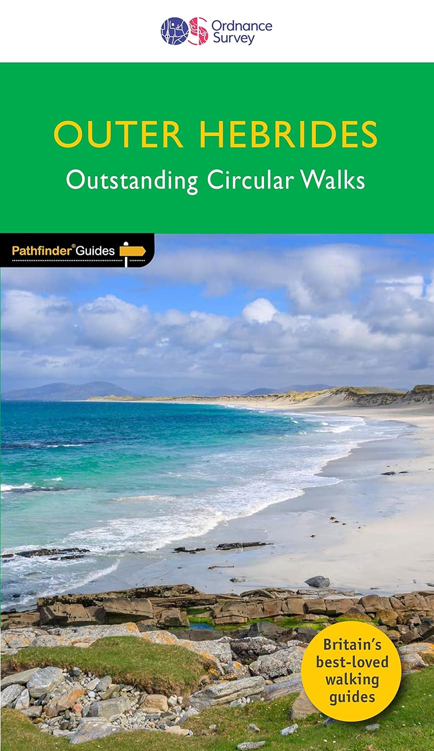
<div> This new title to the Outer Hebrides represents a very welcome addition to our Pathfinder® Guide series: 28 outstanding walks – 23 circular and five there-and-back routes visiting ten islands. The size and nature of the islands lend themselves best to short and half-day walks where unhurried and free-range walking is encouraged and the endless distractions of scenery, wildlife, history and Gaelic cultural heritage are best appreciated and enjoyed at a relaxed pace.</div> <div> </div> <div> Featured Outer Hebrides walks include:</div> <div> </div> <div> This wonderful collection of island walks is divided into three chapters:</div> <div> Lewis and Harris</div> <div> Berneray, North Uist, Benbecula, South Uist and Eriskay</div> <div> Barra and Vatersay</div> <div> There is an illustrated introduction to each of these island groups and planning information on ferries from the mainland and inter-island connections.</div> <div> Walks are presented sequentially geographically, starting in Stornoway, heading up to the Butt of Lewis and then working southwards along the main touring route down the island chain</div> <div> In addition to taking you to the most stunning beaches, including at Luskentyre and on Barra, routes lead you to some memorable viewpoints too, atop Ben Laimishader, Beinn Shlèibhe and Heabhal</div> <div> The rich history and culture of the islands are the focus for walks at Blackhouse Village, Dùn Carloway and Flora MacDonald’s birthplace</div> <div> And there are some surprises as well, such as the woodland walk at Arinaban, the Time and Tide Bell on Great Bernera, and the fascinating wildlife at RSPB Balranald Nature Reserve</div> <div> </div> <div> </div> <div> OS Pathfinder Guides: Outstanding Circular Walks</div> <div> </div> <div> The definitive pocket book guide to Great Britain’s great outdoors</div> <div> 28 mostly circular walks in one guidebook, ranging from 1 ½ - 7 ¾ miles</div> <div> Walks are graded by length and difficulty ensuring a range of routes suitable for walkers of varying experience and mobility</div> <div> Includes OS Explorer 1:25 000 scale map extracts for every route (4cm to 1km or 2½ inches to one mile)</div> <div> Discover GPS waypoints, parking information and detailed route descriptions for foolproof navigation</div> <div> Enhances your walk with information on rare wildlife, natural habitats and points of historical interest</div> <div> About OS Pathfinder Series</div> <div> </div> <div> 80 Pathfinder titles including 2,000 routes across England, Wales and Scotland</div> <div> Explore a wealth of walks, from Land’s End to the Lleyn Peninsula, Shetland to Southwold, with the Pathfinder Series</div>
€18,50
Bekijk product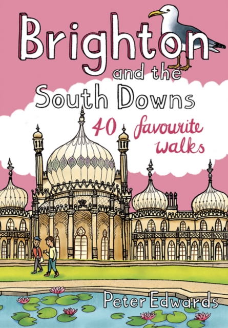
<div> Facing the sea and backed by rolling chalk downland, Brighton is a great place from which to explore one of England's most recognisable and best-loved landscapes. As well as the old chalk grasslands, the South Downs incorporate a variety of habitats, including deciduous, coniferous and mixed woodland, heathland, wetland, shingle beach and saltmarsh. The 40 walks in this guidebook cover the area of the Downs around Brighton, extending to Eastbourne in the east and as far as Worthing and the Findon Valley in the west, and from the Channel coast to the foot of the Downs' steep northern escarpment at the edge of the Sussex Weald.</div> <div> </div>
€10,95
Bekijk product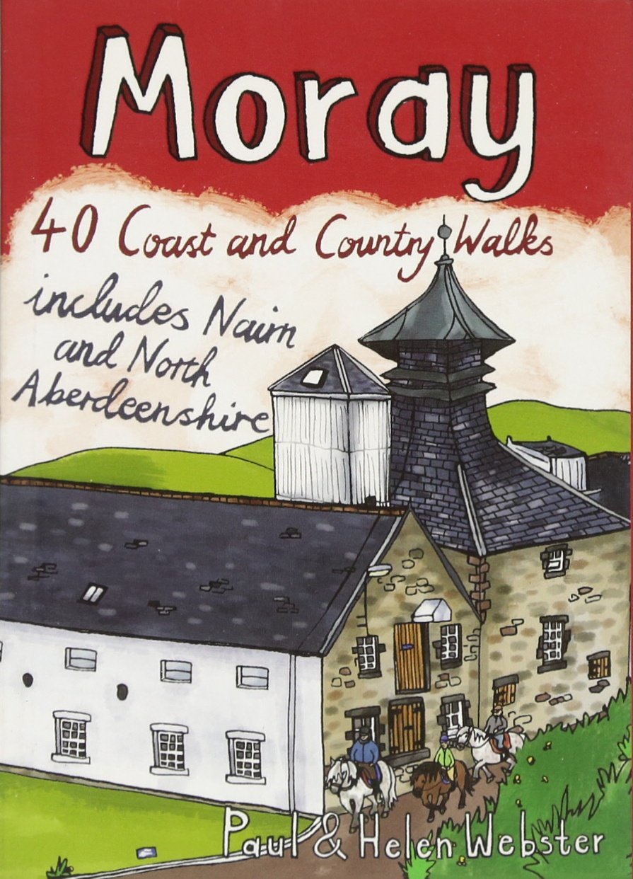
<div> The Moray coastline has a string of superb sandy beaches, and towns such as Buckie, Lossiemouth and Nairn (historically part of Morayshire) have long been popular for family holidays.</div> <div> </div> <div> For the walker there are cliffs, arches and stacks as well as sand and dunes, whilst offshore it may be possible to glimpse the famous Moray Firth dolphins. Set back from the coast are fine stone-built towns such as Forres and the small Cathedral city of Elgin.</div> <div> </div> <div> From here heading southwards the character of the countryside changes to one of wide, spacious glens and sweeping, purple heather moors and hills. This is Speyside - Malt whisky country par excellence. The main centres here are Keith, Aberlour and attractive Dufftown, as the hills slowly merge into the Cairngorms National Park.</div> <div> </div> <div> This latest pocket guide features 40 of the best walks in this popular area in an attractive and accessible format.</div>
€10,95
Bekijk product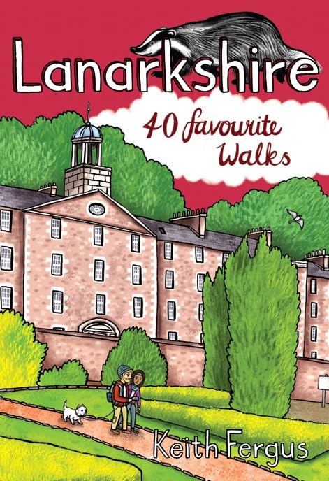
<div> Lanarkshire is home to one of only 4 UNESCO World Heritage Sites in Scotland as well as birth place of Sir Matt Busby and Jock Stein. This books has 40 short walks for all abilities through the wide range of terrain found here. The walks take you to ancient woodlands, through nature reserves, wildlife trusts and country parks.</div> <div> </div>
€10,95
Bekijk product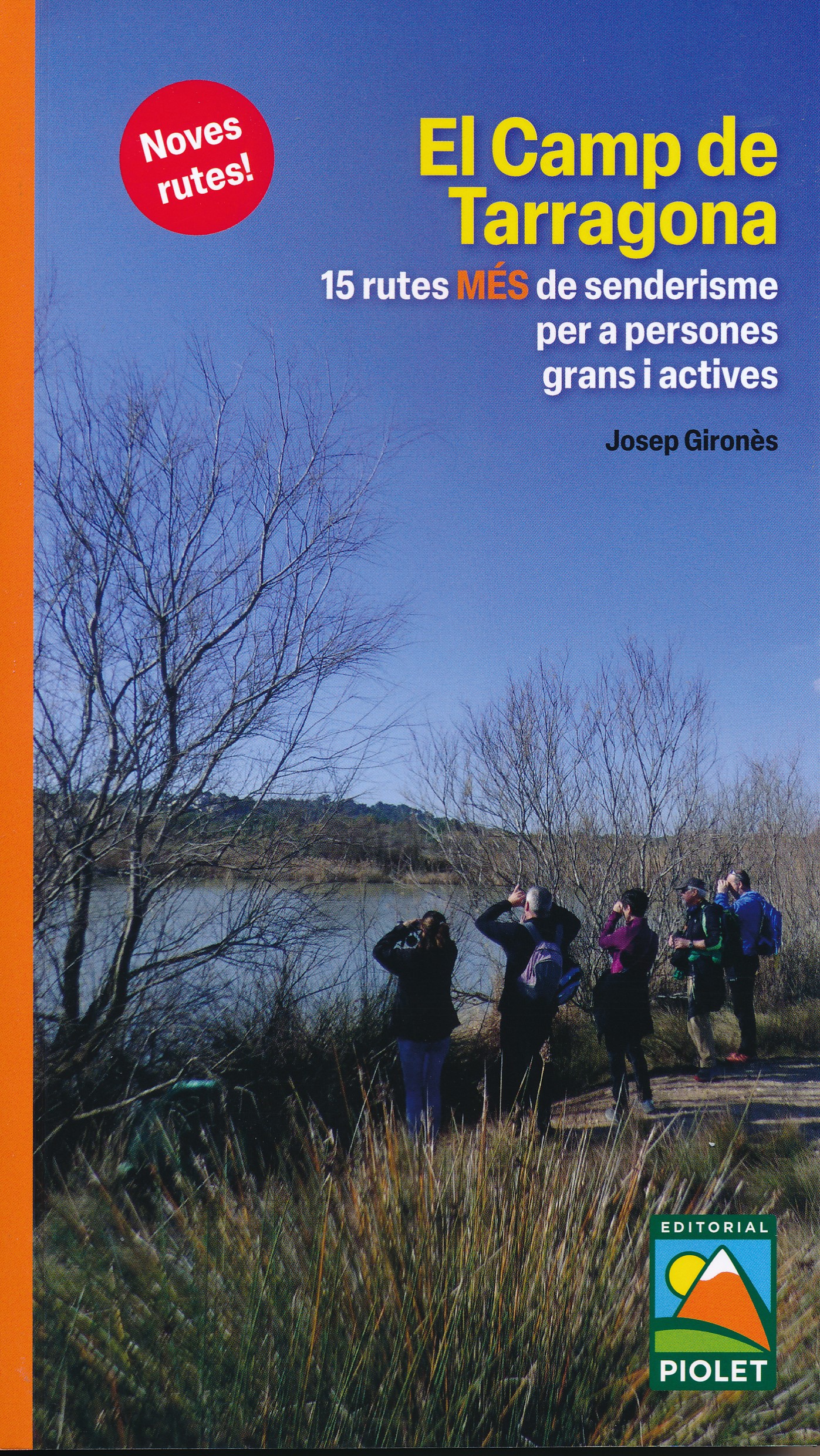
<p> Spaanstalige wandelgids in het gebied van Tarragona. Goede beschrijvingen van de 15 wandelroutes met een degelijke kaart.</p> <div> Después de una primera guía de estas mismas características presentamos 15 rutas MÁS de senderismo por el Camp de Tarragona pensadas para que las puedan realizar personas mayores y activas con una mínima preparación física y con ganas de andar. Trazados con un recorrido inferior a los 15 km.</div> <div> El Camp de Tarragona está formado por las comarcas del Alt Camp, Baix Camp, Baix Penedès, Conca de Barberà, Priorat y Tarragonès.</div> <div> Tiene una orografía muy variada, desde las alturas próximas a los mil metros de la cordillera prelitoral hasta el mar Mediterráneo.</div> <div> </div> <div> Uitgever: Na een eerste gids met dezelfde kenmerken presenteren we 15 MEER wandelroutes door Camp de Tarragona, ontworpen om te worden uitgevoerd door oudere en actieve mensen met minimale fysieke voorbereiding en de wens om te lopen. Routes met een route kleiner dan 15 km.</div> <div> Camp de Tarragona bestaat uit de regio's Alt Camp, Baix Camp, Baix Penedès, Conca de Barberà, Priorat en Tarragonès.</div> <div> Het heeft een zeer gevarieerde orografie, van hoogten van bijna duizend meter van het pre-kustgebergte tot aan de Middellandse Zee.</div> <p> </p>
€5,00
Bekijk product