
Beantwoord enkele vragen, en binnen seconden geeft AI je een persoonlijk aankoopadvies op maat.
Beantwoord enkele vragen, en binnen seconden geeft AI je een persoonlijk aankoopadvies op maat.
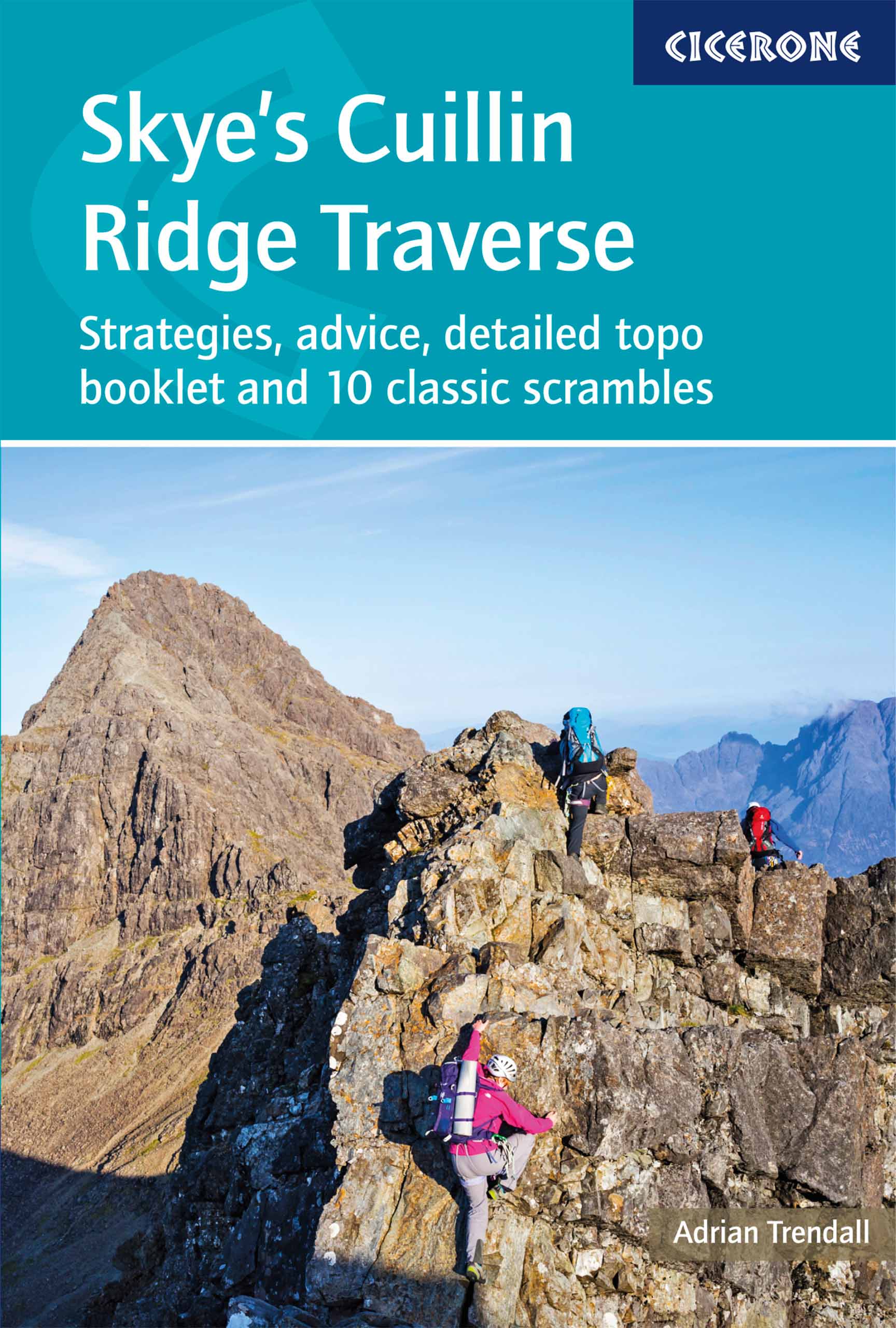
<div> A guidebook to the Isle of Skye’s Cuillin Ridge Traverse. This 2-volume set is a comprehensive guide to planning and completing this challenging and technical 12km scramble. With a route that includes scrambling sections to Grade 3, technical climbs to Severe and a handful of abseils, a head for heights, technical skill and mental and physical stamina are needed.</div> <div> </div> <div> Volume 1 contains planning and logistics information, training notes, recommended gear list and safety tips. This volume also includes in-depth route description and advice for completing the traverse in winter</div> <div> Volume 2 focuses on the traverse itself, across 10 sections a step-by-step guide to traversing the ridge is given with full route description, Harvey mapping and photo topos. This volume is the perfect size to carry with you during the traverse</div> <div> The traverse is typically completed over 1-2 days</div> <div> 10 classic Cuillin scrambles are also included that can be used as practice routes</div> <div> Easier climbing alternatives (Cuillin Ridge Light) have been provided for the harder climbing sections</div>
€27,95
Bekijk product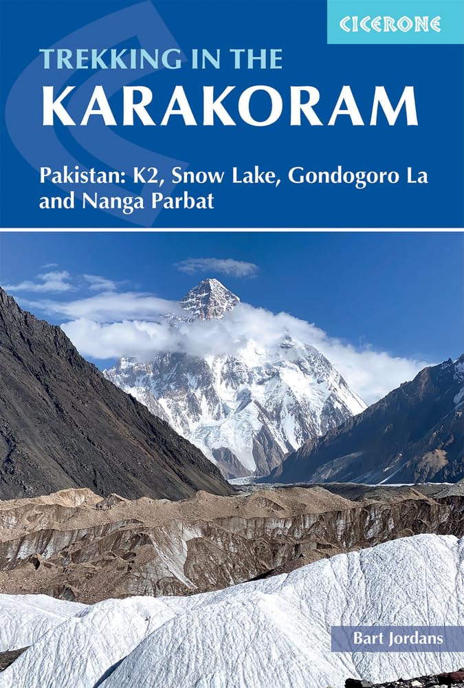
<div> A guidebook to 3 high-altitude treks in Pakistan’s Karakoram mountains, plus 2 shorter routes on the flanks of Nanga Parbat in the neighbouring Himalaya. With the exception of the Fairy Meadows trek, all the routes are strenuous and are recommended for experienced trekkers.</div> <div> </div> <div> The guide includes 3 treks of 12 days each (excluding rest days): Biafo to Hispar via Snow Lake; a K2 Base Camp Trek; and a crossing of Gondogoro La. The Nanga Parbat routes visit Fairy Meadows (3 days) and Diamir or West Face (5 days).</div> <div> </div> <div> Route description illustrated with 1:100,000 mapping and elevation profiles</div> <div> Advice on planning and preparation, including trek operators</div> <div> Safety considerations</div> <div> History of mountaineering and exploration in the Karakoram</div> <div> Offers views of 5 of the world’s 8000m peaks</div>
€34,95
Bekijk product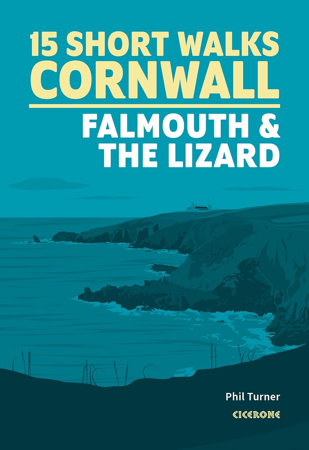
<div> 15 of the best short walks in Cornwall around Falmouth and the Lizard. Handpicked by Cicerone's expert author, and with no complicated navigation or challenging terrain, these walks can be enjoyed by everyone.</div> <div> </div> <div> Easy-to-read Ordnance Survey maps, clear route descriptions and lots of images</div> <div> Includes St Agnes Beacon and Wheal Coates, Truro, Gwennap Pit, St Mawes, Mylor, Frenchman's Creek, Loe Pool, Cadgwith and Lizard Point</div> <div> Most walks are under 3 hours in duration</div> <div> All routes are accessible by public transport</div> <div> Information on local beauty spots and refreshment stops</div> <div> GPX files available for download</div>
€13,95
Bekijk product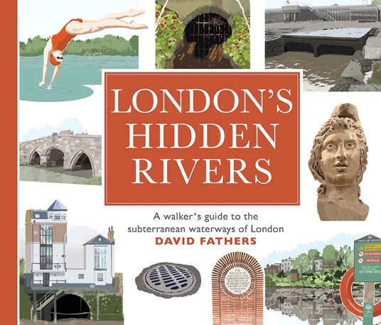
<div> London has many rivers, but they are often hidden under centuries of development. Rivers like the Walbrook, the Fleet or the Westbourne have left their mark on the city, and still form an important part of our subterranean world. David Fathers traces the course of twelve hidden rivers in a series of detailed guided walks, illustrating the traces they have left and showing the ways they have shaped the city.</div> <div> </div> <div> Each walk starts at the tube or rail station nearest to the source of the river, and then follows it down to the Thames through parkland, suburbia, historic neighbourhoods and the vestiges of our industrial past. Along the way there are encounters with such extraordinary Londoners as William Blake, Judy Garland, Paul Robeson, Terence Donovan, Bradley Wiggins, Nelson, Lenin, Freud, and the great Victorian engineer Joseph Bazalgette. Hidden Rivers of London contains over 120 km of walks, both north and south of the Thames.</div> <div> </div> <div> Winding through the hills, valleys and marshes that underlie the city, every page is a revelation.</div>
€16,50
Bekijk product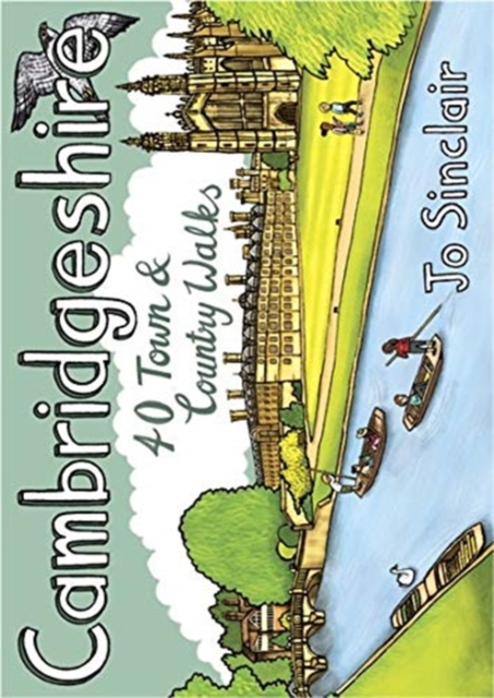
<div> Handige compacte wandelgids met 40 dagwandelingen. Deze gids bevat kleine kaartjes en leuke uitgebreide informatie over wat er langs de route te zien is. Goede wandelkaarten zijn echter we noodzakelijk voor deze tochten: de Ordnance Survey explorer maps of Landanger maps zijn zeer geschikt.</div> <div> </div> <p> With its hallowed streets, glorious colleges and peaceful riverside walks along the Cam, Cambridge is the jewel in the crown of Cambridgeshire and a richly rewarding city to tour on foot. This is a big county, however, and it is well worth exploring the countryside beyond the glittering city. This guide takes you through the rich heritage of the county's market towns and pretty thatched-roofed villages, along old hilltop tracks and into ancient woodlands, full of interest and beauty. Cambridgeshire is also the lowest and flattest place in England and the straight roads, endless network of dykes and isoloted windmills of the fenlands have a stange minimalist magnetism which is hard to resist.</p>
€10,95
Bekijk product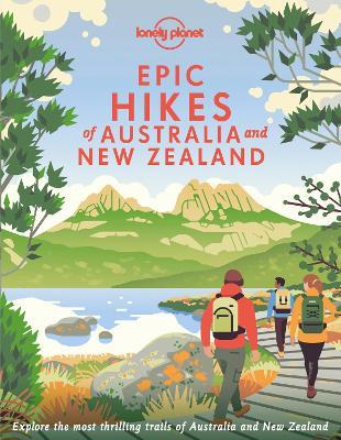
<p> Lace up your hiking boots for the next in Lonely Planet's highly successful <i>Epic Hikes </i>series, this time exploring 50 of Australia and New Zealand's most rewarding treks and trails. From the Routeburn Track in New Zealand's South Island to the Cape to Cape walk in Western Australia's Leeuwin-Naturaliste National Park, we cover a huge variety of themes and experiences across routes that range from one-day walks to multi-day treks.</p> <p> A vibrant cover once again illustrated by Ross Murray continues this collectible series.</p> <p> Each of the 50 featured hikes includes:</p> <ul> <li> First-person accounts from writers who have completed the hike</li> <li> Challenge level grading: easy / harder / epic</li> <li> Inspirational photography, maps and practical information to follow in the writer's footsteps</li> <li> Orientation toolkit: when is the best time of year to hike, how to get there, special equipment required</li> <li> Expert travel advice: where to stay, recommended tours, the best places to eat</li> <li> Suggestions for similar hikes</li> </ul> <p> Whether you're a seasoned hiker or a novice embarking on your very first trek, <i>Epic Hikes of Australia and New Zealand</i> will inspire a lifetime of adventures on foot.</p> <p> </p>
€34,95
Bekijk product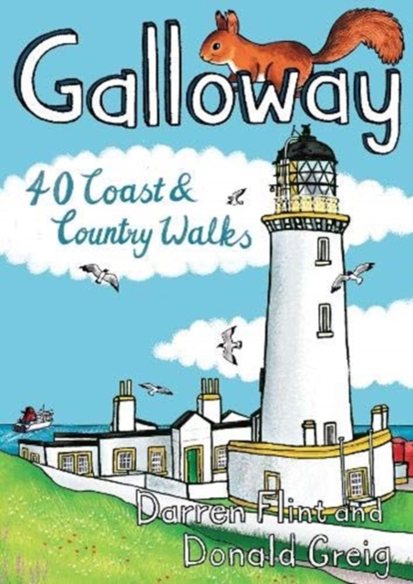
<div> Handige compacte wandelgids met 40 dagwandelingen. Deze gids bevat kleine kaartjes en leuke uitgebreide informatie over wat er langs de route te zien is. Goede wandelkaarten zijn echter we noodzakelijk voor deze tochten: de Ordnance Survey explorer maps of Landanger maps zijn zeer geschikt.</div> <div> </div> <p> Made up of the old counties of Wigtownshire and The Stewartry, Galloway covers a vast swathe of Scotland's quiet southwest corner. This under-discovered area offers 260km of coast, full of sandy beaches and towering cliffs, lonely heather-clad moors and quiet hills. Add to this plenty of wildlife, a rich artistic heritage, strong spiritual influences and a climate kissed by the warming Gulf Stream, and you have a region beckoning to be visited.</p>
€10,95
Bekijk product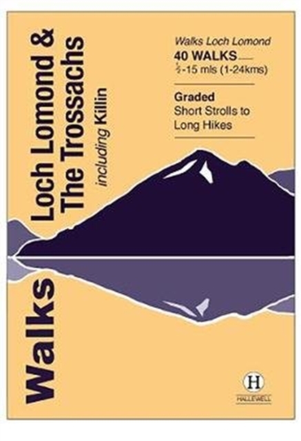
<p> The area covered by this guide (much of it now a National Park) is one of the most popular walking districts in Scotland, and its hills, lochs, glens and woodlands provide an enormous range of routes within a small area. Walks range from 0.5 miles to 15 miles (1-24km). Routes include hill climbs such as Ben More & Stob Binnein, Ben Ledi, Ben A’an, The Cobbler and Ben Lomond, plus a number of shorter walks around the towns of Killin, Callander and Aberfoyle, routes by Lochs Katrine and Lomond and sections of the West Highland Way. Previously published as Walks The Trossachs, the guide has been rewalked and the area covered expanded to inlcude west Loch Lomond.</p>
€5,95
Bekijk product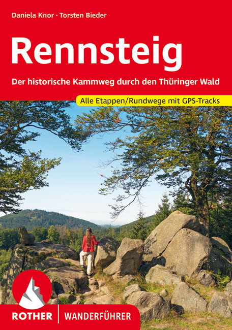
<p> Een geode beschrijving van de Rennsteig met alle etappes in tekst en op kaart. Rother heeft een hele goede naam als het gaat om nauwkeurigheid en mate van informatie. </p> <div> detaillierte Wanderkarten</div> <div> aussagekräftige Höhenprofile</div> <div> GPS-Tracks zum Download</div> <div> </div> <div> Mythos Rennsteig! Deutschlands ältester und beliebtester Fernwanderweg besitzt Kultstatus – und das seit fast 150 Jahren. Auf den Spuren mittelalterlicher Händler und berittener Boten, verwegener Wilderer und adliger Jäger führt der Rennsteig durch das romantische Thüringen. Von der Saale bis zur Werra verläuft er durch das Thüringer Schiefergebirge, den Frankenwald und den Thüringer Wald. Der Rother Wanderführer Rennsteig stellt die neun Etappen des aussichtsreichen Kamm- und Höhenwegs vor. Zusätzlich gibt es zwei Varianten sowie acht ergänzende Rundwanderungen.</div> <div> </div> <div> Abwechslungsreich sind die Impressionen unterwegs. Dichte Wälder geben unerwartet den Blick auf blühende Bergwiesen frei. Von Aussichtstürmen reicht die Sicht über Werratal und Thüringer Becken in die Ferne. Über 400 Jahre alte Grenzsteine, oftmals aufwendig mit Wappen verziert, säumen den Weg. Der Wanderführer berichtet viel über den historischen Grenzweg: Geschichten von Schmugglern und Glasbläsern, Kräuterfrauen und Köhlern, von geheimen Stasi-Bunkern und passionierten Wanderern, die den Rennsteig Ende des 19. Jahrhunderts wiederentdeckten.</div> <div> </div> <div> Verlässliche Etappenbeschreibungen, Wanderkärtchen und Ortspläne mit eingezeichnetem Wegverlauf sowie aussagekräftige Höhenprofile sorgen für eine leichte Orientierung unterwegs. Für alle Etappen stehen GPS-Tracks zum Download bereit. Außerdem gibt es detaillierte Angaben zur Anreise mit öffentlichen Verkehrsmitteln sowie Einkehr-, Übernachtungs- und Einkaufsmöglichkeiten. Sehenswürdigkeiten werden gesondert vorgestellt. Und wer von einem anderen Ort starten möchte, findet im Verzeichnis der Rennsteig-Leitern, der offiziellen Zuwege, die wichtigsten Infos. Die vielen Fotos runden das Buch ab und machen Lust, diese historische Route zu erkunden.</div>
€17,50
Bekijk product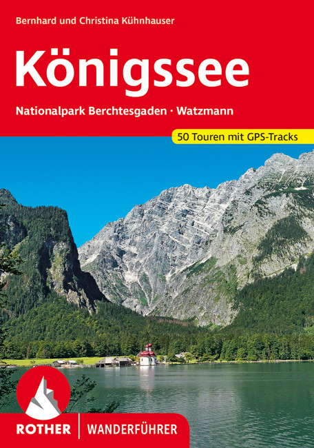
<p> Uitstekende wandelgids met een groot aantal dagtochten in dal en hooggebergte. Met praktische informatie en beperkt kaartmateriaal! Wandelingen in verschillende zwaarte weergegeven in rood/blauw/zwart.</p> <div> detaillierte Wanderkarten</div> <div> aussagekräftige Höhenprofile</div> <div> GPS-Tracks zum Download</div> <div> </div> <div> Der Königssee – schon zu Zeiten der bayerischen Könige war er Sehnsuchtsort für Touristen, Wanderer und Bergsteiger. Und das ist er bis heute. Er ist das Tor zu den Berchtesgadener Alpen, die zu den schönsten und abwechslungsreichsten Wandergebieten der Alpen zählen. Der Rother Wanderführer »Königssee« stellt 45 der schönsten Touren vor, von gemütlich bis anspruchsvoll.</div> <div> </div> <div> Die Wanderungen führen durch die Berge und Täler des Berchtesgadener Nationalparks. Wortwörtlich der Höhepunkt ist die Besteigung des 2651 Meter hohen Hocheck. Dieser Gipfel gehört zum sagenumwobenen Watzmann, der der höchste vollständig in Deutschland gelegene Gebirgsstock ist. Neben diesem hochalpinen Ziel bieten die Berge um den Königssee eine große Auswahl an verschiedensten Wanderungen. Es finden sich gemütliche Wanderungen wie zur berühmten Wallfahrtskirche St. Bartholomä oder ins Wimbach- und Klausbachtal, aber auch anspruchsvolle Gipfeltouren für Bergsteiger wie die Schärtenspitze oder das Große Teufelshorn. Auch abwechslungsreiche Mehrtagestouren von Hütte zu Hütte sind dabei.</div> <div> </div> <div> Jede Wanderung wird mit einer zuverlässigen Wegbeschreibung, einem Tourenkärtchen mit eingetragenem Routenverlauf und einem aussagekräftigen Höhenprofil vorgestellt. GPS-Tracks stehen zum Download bereit. Die vorgestellten Touren verlaufen alle im oder am Rande des Nationalparks Berchtesgaden.</div> <div> </div> <div> Der Rother Wanderführer »Königssee« wurde recherchiert und verfasst von dem renommierten Gebietskenner der Berchtesgadener Berge Bernhard Kühnhauser. Unterstützt wurde er dabei von seiner Tochter Christina Kühnhauser.</div>
€17,50
Bekijk product