
Beantwoord enkele vragen, en binnen seconden geeft AI je een persoonlijk aankoopadvies op maat.
Beantwoord enkele vragen, en binnen seconden geeft AI je een persoonlijk aankoopadvies op maat.
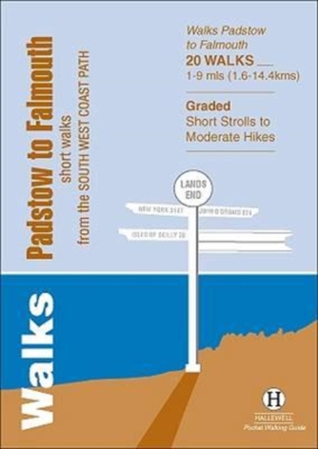
<div> Walks Padstow to Falmouth features a selection of the best short walks from the section of South West Coast Path which runs between the towns of Padstow in the north and Falmouth in the south. The 20 walks featured range from 1 to 9 miles (1.6 - 14.4kms) and range from a short strolls to moderately testing hikes - along cliffs, through dunes, by sandy beaches and muddy creeks. Highlights of the book include cliff walks from picturesque harbour at Padstow, a route from the popular town of St Ives, and a walk to Land's End - the most westerly point on the English mainland. This is a highly attractive area with a mass of good walks and the towns and villages along the coast make excellent bases for walking. Part of a popular series of A6 pocket walking guides which describe routes which are suitable for walkers of all abilities and to suit all tastes. Route descriptions are accompanied by 2-colour sketch maps. The guides are illustrated with line illustrations, and will provide walkers with a good introduction to what each area covered has to offer.</div> <div> </div>
€5,95
Bekijk product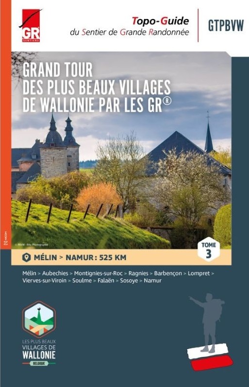
<div> Wandelgids in 3 delen langs de mooiste dorpen van Wallonië</div> <div> </div> <div> Deze route is grotendeel gebaseerd op het bestaande GR- en GRP-netwerk en vormt een 1.500 kilometer lange route die deze 32 karaktervolle dorpen met elkaar verbindt. De gidsen bevatten routes, beschrijvingen en gedetailleerde kaarten. Een specifieke GTPBVW-markering werd geplaatst om de route te markeren. Deze staat verder uit elkaar dan de traditionele GR streepjesmarkeringen.</div> <div> </div> <div> Je wandelt door prachtige landschappen en regio's die soms weinig bekend zijn, maar die je elke keer betoverende plekken laten ontdekken, gelegen in een rijke natuurlijke omgeving en in goed bewaarde oorden waar het onroerend erfgoed de geschiedenis van onze voorouders laat weerklinken.</div> <div> </div> <div> Deel 1: Namur - Nobressart (520 km)</div> <div> Deel 2: Nobressart - Mélin (480 km)</div> <div> Deel 3: Mélin - Namur (525 km)</div> <div> </div> <div> <div> Le topo-guide à thème (GRT), "LES BEAUX VILLAGES DE WALLONIE PAR LES GR GTPBVW®" rédigé en trois tomes, vous invite à parcourir la Wallonie et ses régions si particulières avec pour objectif la découverte des 33 villages labellisés « Plus Beaux Villages de Wallonie » qui font la fierté de leurs habitants et des Wallons amoureux du patrimoine. Cet itinéraire s’appuie sur le réseau GR et déroule un tapis rouge long de 1500 kilomètres reliant 33 villages de caractère. De manière plus espacée, une balise spécifique GTPBVW jalonne le parcours.</div> <div> </div> <div> Vous sillonnerez des paysages magnifiques et des contrées parfois mal connues mais qui, à chaque fois, vous feront découvrir des endroits enchanteurs, logés dans un environnement naturel riche, des endroits préservés où le patrimoine bâti fait résonner l’histoire de nos ancêtres.</div> <div> </div> <div> Les Plus Beaux Villages de Wallonie par les Sentiers GR sont à vos pieds… À vous d’en profiter !</div> <div> </div> <div> La plupart des chemins empruntés sont basés sur le réseau des GR et GRP existant. Parcours, descriptifs et cartographies détaillées sont à votre disposition dans ce guide rédigé en trois tomes. Vous accommoderez vos parcours selon vos envies, par tronçons, en organisant de courts séjours ou en ciblant une région. À vous de choisir ! L’essentiel est d’inciter chacun à voyager au plus près de chez soi : là où la nature et les richesses se trouvent, au coin d’un sentier ou d’une ruelle … l’aventure commence et est accessible à tous.</div> <div> </div> <div> <div> Tome 3 - de Mélin à Namur </div> <div> </div> <div> Étape 24 : Mélin – Aubechies </div> <div> Étape 25 : Aubechies – Montignies-sur-Roc </div> <div> Étape 26 : Montignies-sur-Roc – Ragnies </div> <div> Étape 27 : Ragnies – Barbençon </div> <div> Étape 28 : Barbençon – Lompret</div> <div> <div> Étape 29 : Lompret – Vierves-sur-Viroin</div> <div> Étape 30 : Vierves-sur-Viroin – Soulme </div> <div> Étape 31 : Soulme – Falaën </div> <div> Étape 32 : Falaën – Sosoye </div> <div> Étape 33 : Sosoye – Namur</div> </div> </div> </div> <p> </p>
€25,95
Bekijk product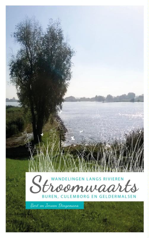
<p> In de jaren dertig van de vorige eeuw werd het rivierland al door Hendrik Marsman bezongen in zijn gedicht Herinnering aan Holland. Niet zonder reden, rivieren zijn onlosmakelijk met ons en onze geschiedenis verbonden. Daar komt bij dat het rivierenland bestaat uit mooie en afwisselende landschappen biedt. Een uitnodigend gebied om te voet te verkennen. In dit boekje vindt u daarom achttien wandelingen langs rivieren door de meest kenmerkende streek de Betuwe. Dit boekje bevat achttien wandelingen die u kennis laten maken met uiterwaarden, grienden, dijken, wielen en boomgaarden. De wandelingen hebben verschillende afstanden en kunnen eenvoudig gecombineerd worden tot een meerdaagse wandeling.</p>
€20,51
Bekijk product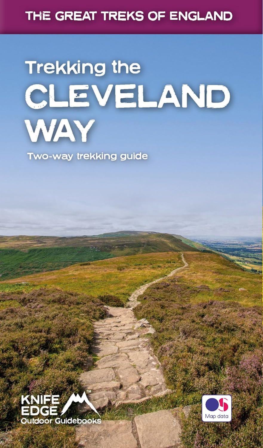
<div> The definitive two-way guide to the Cleveland Way, one of England's epic National Trails: both eastbound and westbound routes are described in full.</div> <div> </div> <div> Real Maps: Full Ordnance Survey mapping inside (1:25,000). All accommodation is numbered and marked on the maps.</div> <div> 20 different itineraries: schedules of 5, 6, 7, 8, 9, 10 and 11 days for hikers and runners. Includes both eastbound and westbound itineraries. Difficult calculations of time, distance and altitude gain/loss are done for you.</div> <div> </div> <div> Also includes:</div> <div> - Detailed information on equipment and travelling light</div> <div> - Full accommodation listings: the best pubs, B&Bs and hotels</div> <div> - Detailed section on camping, including wild camping</div> <div> - Everything the trekker needs to know: route, costs, difficulty, weather, travel, and more</div> <div> - Essential info for both self-guided and guided trekkers</div> <div> - Information on plants and wildlife</div> <div> - Numbered waypoints linking the Real Maps to our clear descriptions</div> <div> </div> <div> Yorkshire's Cleveland Way is one of the most beautiful long-distance walking routes in Britain. It is one of England's official 'National Trails'.</div> <div> </div> <div> The route circumnavigates the spectacular North York Moors National Park. It explores both the evocative expanses of Yorkshire's famous heather moorland and the never-ending cliffs of its coastline. This is England at its best and it will be an adventure that you will never forget.</div>
€23,95
Bekijk product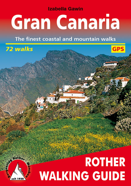
<div> Gran Canary not only enjoys a fabulous reputation as a paradise of sunshine and beaches; it can also be described as one of the most versatile hiking islands of the Canary Archipelago. Connoisseurs praise it as a miniature continent because of its diversity of landscapes: shimmering dunes in contrast with luscious subtropical valleys, deep ravines with palm tree oases and glittering reservoirs, next to which are extensive pine tree forests and green slopes with grazing sheep and goats. To the North West cliffs drop down 800 m deep into the ocean, while in the centre of the island serrated, almost 2000 metre high ridges and bizarre rock monoliths emerge, which the Spanish writer Miguel de Unamuno once interpreted as »fossilised storms of fire and lava.</div> <div> </div> <div> This Rother walking guide includes excursions to beaches and spectacular cave villages, walks through pine forests and atmospheric ridge paths. Due to the increased significance of hiking tourism, parts of what at times are more than 500 year old rocks have been carefully restored over the last years. These Caminos Reales (royal paths) stretch across the entire island and used to link remote mountain villages with coastal territory. Many proposed tours follow these mainly stone-paved hiking paths and are therefore also ideal for less experienced hikers. Experienced mountain hikers who are not afraid of dramatic walks will also find a rich offer of tours. The first comprehensive hiking guide on Gran Canary leaves nothing to desire!</div> <div> </div> <div> Coloured illustrations and excellent hiking maps at an ideal scale of 1:50,000/1:75,000 round off the picture and awaken the curiosity for ever new excursions into the charmingly bizarre world of the mountains. The Rother walking guide has been completely revised for this edition and added to 32 routes.</div>
€18,50
Bekijk product
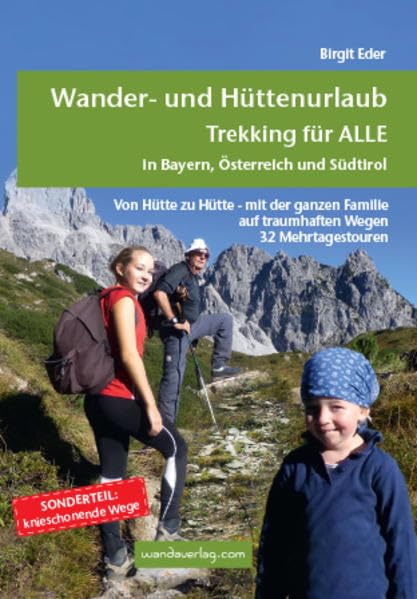
<div> Von Hütte zu Hütte mit leichtem Gepäck zu wandern, ist eine wunderbare Art, dem Alltag zu entfliehen. Die spannenden Mehrtagestouren sind in leicht zu bewältigende Etappen unterteilt, die nach Kondition oder Laune zusammengefasst werden können. Darum ist dieser Trekkingführer für EinsteigerInnen wie für Versierte gleichermaßen eine Fundgrube. Bei der Zusammenstellung wurden berühmte Ziele wie der Südtiroler Rosengarten, die Drei Zinnen oder die Zugspitze, aber auch einsame und weniger bekannte Touren beschrieben. Bei einem Großteil der Wege finden sich knieschonende Varianten mit Auf- oder Abstiegshilfen wie Gondeln oder Bergbahnen. Perfekt geeignet für die ganze Familie, vom Schulkind bis zu den Großeltern.</div> <div> </div>
€26,50
Bekijk product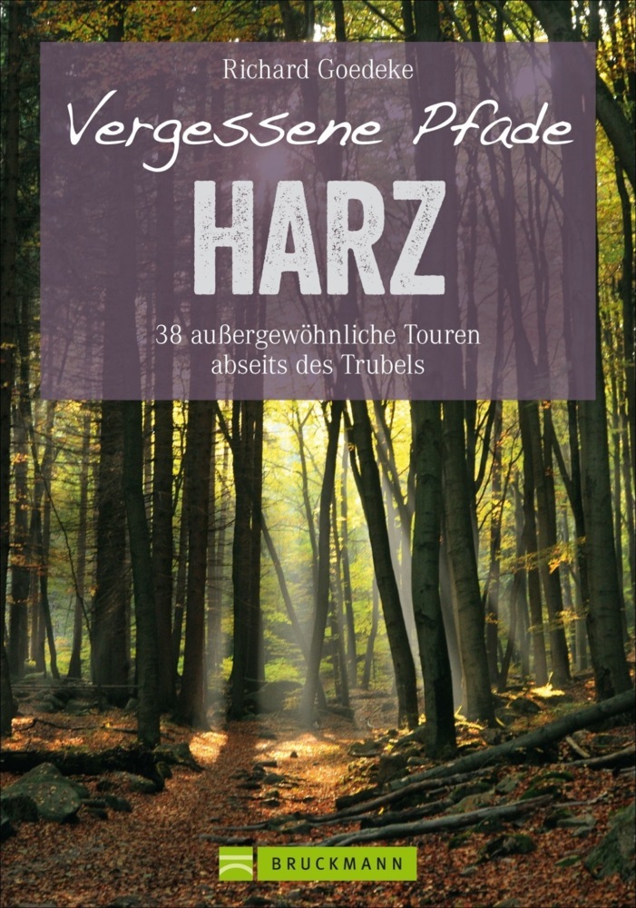
<p> Wie die Romantiker war Autor Richard Goedeke beim Wandern im Harz unterwegs - mit gutem Gespür für Einsamkeit, einem Riecher für vergessene Pfade und einem scharfen Augen für was in der Natur wächst und lebt. Der Wanderführer Harz für das klassische Wandergebirge unter dem Brocken bietet Ihnen 38 neue Ziele und Zugänge zu idyllischen Plätzen abseits des Trubels. Das beste am Wandern im Harz: Es geht zu jeder Jahreszeit!</p>
€24,95
Bekijk product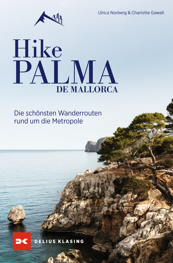
<div> Aktivurlaub in Wanderschuhen</div> <div> </div> <div> Palma de Mallorca – kristallklares Wasser, Bergkulisse, mildes Klima und eine lebhafte Stadt. Palma lädt ein zu einem abwechslungsreichen Urlaub zwischen Städtetrip und Naturparadies. Und genau diese Besonderheit greifen Ulrica Norberg und Charlotte Gawell in ihrem Wanderführer auf.</div> <div> </div> <div> • Genaue Streckenbeschreibung mit Karte über einen QR-Code abrufbar.</div> <div> • Inklusive Vorschläge für Aktivitäten in der Stadt.</div> <div> • Zur Inspiration und zum Planen - mit Lesebändchen.</div> <div> • Tolles Geschenkbuch für Outdoorfans und Aktivurlauber.</div> <div> </div> <div> In diesem Buch werden die 15 schönsten Trails in und um Palma vorgestellt</div> <div> </div> <div> Abwechslung ist geboten durch Touren entlang der Mittelmeerküste sowie Wanderwegen durch Täler und Schluchten. Mit atemberaubenden Ausblicken auf türkisblaues Wasser und beeindruckenden Gipfelaussichten ist für jeden Geschmack die passende Route dabei. Es sind Trails für jedes Fitnesslevel von leicht bis schwer vorhanden, die Distanzen reichen von 5 km bis 15 km.</div> <div> Alle Strecken sind von der Stadt aus einfach mit den öffentlichen Verkehrsmitteln zu erreichen.?Zur Trailvorstellung gehören auch historische Einblicke in den Ort, Geheimtipps für Aktivitäten, eine Beschreibung des Weges und abschließend Empfehlungen für das Ankommen. Streckendistanzen, Höhenmeter, Anfahrt und Schwierigkeitsgrad werden überblicksartig dargestellt.</div>
€27,50
Bekijk product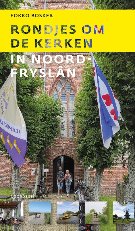
<p> Kerken fungeren als bakens in het landschap. In het weidse terpengebied is de kerk een markante verschijning. De monumenten vertellen een verhaal van gemeenschapszin en vormen een ideale uitvalsbasis om het omliggende cultuurlandschap te verkennen. Rondjes om de kerken bevat 26 inspirerende en verrassende pelgrimsroutes in Noord-Fryslân. De weidsheid, de lichtval en het ruisen van de wind sluiten naadloos aan bij de sobere verstilling die de kerken bieden. Wijkplaatsen en vluchtheuvels in drukke tijden. Even offline.</p>
€19,90
Bekijk product