
Beantwoord enkele vragen, en binnen seconden geeft AI je een persoonlijk aankoopadvies op maat.
Beantwoord enkele vragen, en binnen seconden geeft AI je een persoonlijk aankoopadvies op maat.
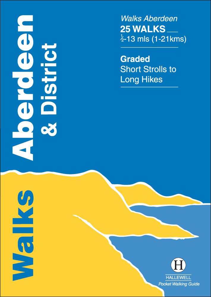
<p> Walks Aberdeen & District covers the city of Aberdeen and the surrounding coast and countryside. Most of the walks are fairly gentle, though there are some fine hill walks on Bennachie. The 25 walks featured range from 0.5 miles to 13 miles (1-21km). Routes include: Old Aberdeen, Banchory to Crathes, Dunnottar Castle and Bennachie: Mither Tap. Part of a popular series of A6 pocket walking guides which describe routes which are suitable for walkers of all abilities and to suit all tastes. Route descriptions are accompanied by 2-colour sketch maps. The guides are illustrated with line illustrations, and will provide walkers with a good introduction to what each area covered has to offer.</p>
€5,95
Bekijk product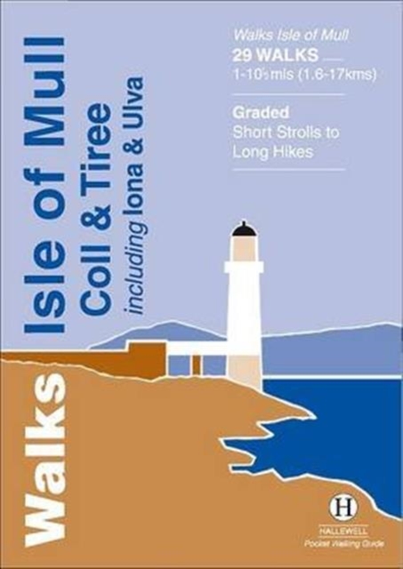
<div> Rewalked and revised in 2015, Walks Isle of Mull, Coll & Tiree including Iona & Ulva includes walks on the Inner Hebridean island of Mull and the nearby islands. Mull is typified by spectacular coastal scenery and fine hill climbs, while the other islands are lower and gentler in character. The 29 walks featured range from 1 mile to 10.5 miles (1.6-17km). Routes on Mull include: Ben More, Carsaig Arches and two walks from Tobermory. The guide also features walks on the marvellous island of Ulva, two fine walks on Iona plus routes on the rugged island of Coll and the wide sand beaches of Tiree. Now on its 3rd edition, this guide is part of a popular series of A6 pocket walking guides which describe routes which are suitable for walkers of all abilities and to suit all tastes. Route descriptions are accompanied by 2-colour sketch maps. The guides are illustrated with line illustrations, and will provide walkers with a good introduction to what each area covered has to offer.</div> <div> </div>
€5,95
Bekijk product
<div> Rewalked and updated in 2018, Walks Oban & North Argyll covers the area around the popular coastal town of Oban, the offshore islands which can be reached from the town, and inland as far as Bridge of Orchy. The coastal area and islands are fairly gentle in character, but there are some fine, challenging hill walks inland. The 26 walks featured range from 0.5 miles to 14 miles (1-23km). Routes include: Oban to Gallanach, two routes on Lismore, Ben Cruachan and Bridge of Orchy to Tyndrum. Part of a popular series of A6 pocket walking guides which describe routes which are suitable for walkers of all abilities and to suit all tastes. Route descriptions are accompanied by 2-colour sketch maps. The guides are illustrated with line illustrations, and will provide walkers with a good introduction to what each area covered has to offer.</div> <div> </div>
€5,95
Bekijk product
<div> Walks Pitlochry, Aberfeldy & North Perthshire covers the northern part of the county of Perthshire: from the wilderness of Rannoch Moor to the popular holiday town of Pitlochry. Formerly published as Walks North Perthshire the book has been rewalked and updated (2016) to reflect changes on the ground and the splendid riverside walk from Aberfeldy to Grandtully has been added. The walking is varied, with fine moorland walks, hill climbs and a great low-level path network around Pitlochry. The 27 walks featured range from 0.5 miles to 12 miles (1.2-19km). Routes include: Corrour to Rannoch Station, Schiehallion, Ben Lawers, Loch Faskally and The Birks of Aberfeldy. Part of a popular series of A6 pocket walking guides which describe routes which are suitable for walkers of all abilities and to suit all tastes. Route descriptions are accompanied by 2-colour sketch maps. The guides are illustrated with line illustrations, and will provide walkers with a good introduction to what the area covered has to offer.</div> <div> </div>
€5,95
Bekijk product
<div> Rewalked and updated in 2016/17, Walks The Western Lakes (including Ennerdale, Wasdale & Eskdale) features walks in western part of The Lake District - the famous area of spectacular peaks and lakes in the north-west of England. The area covered is a less-visited part of the Lakes - having no major tourist towns - but it contains some of the most dramatic scenery and walking in the Lakes. The 22 walks featured range from 1.5 miles to 13 miles (2.5-21km). Routes include: Great Gable, Illgill Head & Wast Water, Ravenglass and a path through Eskdale. Part of a popular series of A6 pocket walking guides which describe routes which are suitable for walkers of all abilities and to suit all tastes. Route descriptions are accompanied by 2-colour sketch maps. The guides are illustrated with line illustrations, and will provide walkers with a good introduction to what each area covered has to offer.</div> <div> </div>
€5,95
Bekijk product
<div> Rewalked and updated in 2016, Walks Hawes & Wensleydale covers the Northern part of the Yorkshire Dales National Park - an area of rolling green hills, dramatic limestone features and quaint villages. The guide features walks in Wensleydale, which includes the popular towns of Hawes and Leyburn. Although there are no high peaks in the area, there are some fine hill walks, as well as paths passing the area's numerous waterfalls. The 21 walks featured range from 1 mile to 11 miles (1.5-18km). Routes include: Aysgill Force, Hardraw Force & Sedbusk, Semer Water, Aysgarth to Castle Bolton and Leyburn Shawl. The guide is part of a popular series of A6 pocket walking guides which describe routes which are suitable for walkers of all abilities and to suit all tastes. Route descriptions are accompanied by 2-colour sketch maps. The guides are illustrated with line illustrations, and will provide walkers with a good introduction to what each area covered has to offer.</div> <div> </div>
€5,95
Bekijk product
<div> Last rewalked and updated in 2021, Walks Malham & The Three Peaks covers part of The Yorkshire Dales National Park - an area of rolling green hills, dramatic limestone features and quaint villages. The Park covers five main dales (valleys) and this guide covers Ribblesdale and the surrounding hills, along with the smaller Malhamdale. This area contains the finest hill walking in the Dales (with paths up the `Three Peaks': Whernside, Ingleborough and Pen-y-ghent) plus the most dramatic limestone features: Malham Cove and Gordale Scar. The 23 walks featured range from 1 mile to 9.5 miles (1.5-15km). Routes include: Whernside, three routes up Ingleborough, Ingleton Waterfalls Walk, Pen-y-ghent, Victoria Cave Loop, Gordale Scar & Malham Cove and Malham to Settle. Now in its 2nd edition, this book is part of a popular series of A6 pocket walking guides which describe routes which are suitable for walkers of all abilities and to suit all tastes. Route descriptions are accompanied by 2-colour sketch maps. The guides are illustrated with line illustrations, and will provide walkers with a good introduction to what each area covered has to offer.</div> <div> </div>
€5,95
Bekijk product
<div> Walks Ilfracombe to Padstow features a selection of the best short walks from the section of South West Coast Path which runs between the towns of Ilfracombe in the north and Padstow in the south. The 24 walks featured range from 2 to 6 miles (3 - 10kms) and range from a short strolls to moderately testing hikes - along cliffs, through dunes, by sandy beaches and muddy creeks. Highlights of the book include cliff walks around the lovely villages of Clovelly and Tintagel, with its dramatic ruined castle, and the sandy beaches at Woolacombe and Rock on the Camel Estuary. This is a highly attractive area with a mass of good walks and the towns and villages along the coast make excellent bases for walking.</div> <div> </div>
€5,95
Bekijk product