
Beantwoord enkele vragen, en binnen seconden geeft AI je een persoonlijk aankoopadvies op maat.
Beantwoord enkele vragen, en binnen seconden geeft AI je een persoonlijk aankoopadvies op maat.
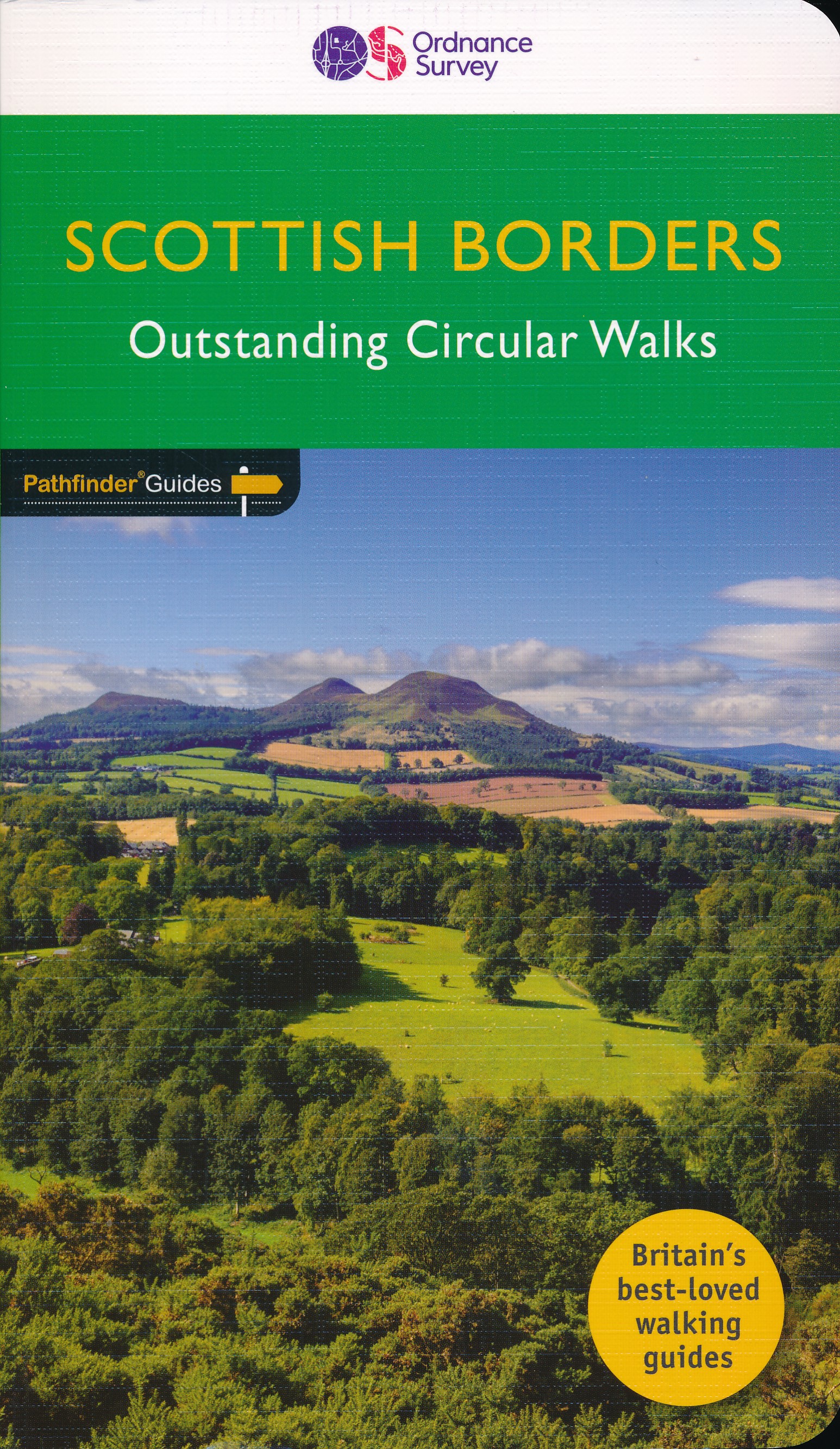
<div> Pathfinder® Guide to the Scottish Borders, featuring 28 outstanding walks designed for a range of abilities covering 170 miles of walking.</div> <div> </div> <div> Features:</div> <div> </div> <div> 28 guided walks for a range of abilities</div> <div> Large detailed Ordnance Survey map extracts</div> <div> Key information such as parking and type of terrain</div> <div> GPS waypoints for each route</div> <div> Weather-resistant book cover</div> <div> Durable rounded corners</div> <div> </div> <div> </div> <div> This new guide to Scottish Borders has 18 brand-new Pathfinder walks across the county. There are new short walks along the Tweed Valley between Peebles and Coldstream, and along the Teviot Valley from Hawick to Kelso. The stunningly scenic coastline has new walks at Eyemouth and Cockburnspath, while inland peaceful circuits explore the heritage at Duns, Greenlaw, Lauder and St Mary’s Loch.</div> <div> </div> <div> The other much-loved walks in the book feature circuits along the coast at St Abb’s Head; in the Eildon and Leaderfoot National Scenic Area; in the remote Liddesdale countryside and along the Scotland/England border using both branches of the Pennine Way from Kirk Yetholm.</div> <div> </div> <div> Walks are professionally authored and depicted with GPS waypoints, Ordnance Survey maps and beautiful photography.</div> <div> </div>
€18,95
Bekijk product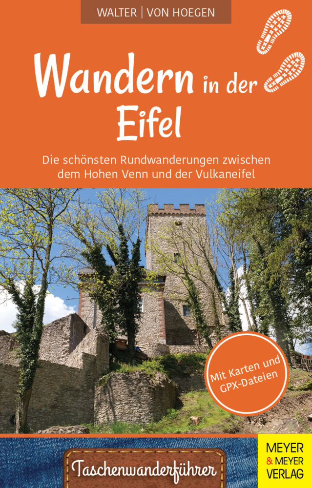
<p> Die Eifel ist Teil des Rheinischen Mittelgebirges bis zur belgischen und luxemburgischen Grenze. Viele hundert Kilometer Wanderwege erschließen ihren Besuchern außergewöhnlich abwechslungsreiche Landschaften: großflächige Moore im Hohen Venn, tiefe Täler und Stauseen in der Rureifel, südländisch anmutende Kalktriften in der Kalkeifel und Vulkankegel und Maarseen in der Vulkaneifel. Für alle diese Landschaften gilt, dass sie in langen Zeiträumen entstanden sind. Ihre historische Gestaltung zur heutigen Kulturlandschaft vollzog sich in Jahrhunderten. Die Formung der heutigen Hochflächen, Hügel und Täler dauerte viele hunderttausend Jahre. Für die meisten Gesteine ihres Untergrundes liegt ihre Entstehungszeit um Millionen Jahre zurück. So ist die heutige Gestalt der Eifel untrennbar mit der Zeit ihrer Gesteinsbildung, der Zeit der Entstehung ihres Reliefs und der Zeit ihrer Menschen verbunden. Alle Wanderungen sind Rundwanderungen. Die Routenbeschreibungen umfassen eine Routenkarte mit Wegweisern und Markern, die auf erdgeschichtlich, historisch und aktuell besondere Orte unterwegs hinweisen. Solche "Hingucker" werden jeweils durch ein Foto dokumentiert und durch einen kurzen Text erläutert.</p>
€22,50
Bekijk product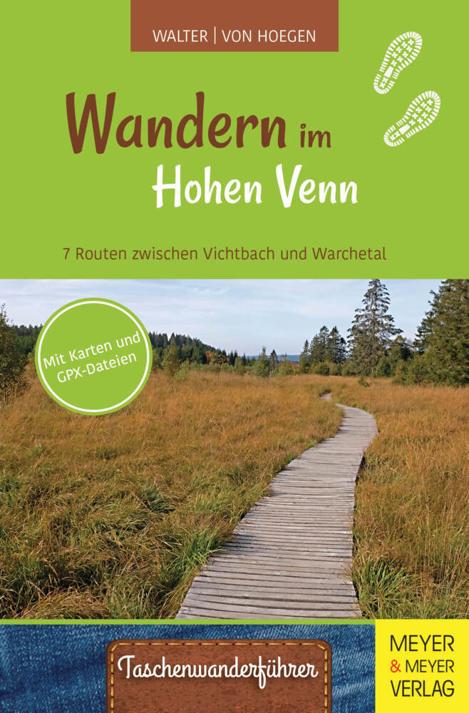
<div> Als Hohes Venn (franz. Hautes Fagnes) wird eine bis 600 Meter hoch liegende Rumpffläche in der nordöstlichen Fortsetzung der Hochardennen bezeichnet. Wasserundurchlässige Tonböden über tiefgründig verwitterten kambrischen Tonschiefern ermöglichten hier nach Ende der letzten Kaltzeit (vor 12.000 Jahren) die Entstehung ausgedehnter Hochmoore. Deren viele Meter dicke Torfschichten waren jahrhundertelang eine wichtige Energiequelle für die umliegenden Gemeinden. Im 19. Jahrhundert wurde ein großer Teil der Moore entwässert und mit Fichten aufgeforstet. Die verbliebenen Moorflächen stehen heute unter strengem Naturschutz. Das Gebiet ist weitgehend unbewohnt. Alle vorgeschlagenen Wanderungen sind Rundwanderungen. Die Routenbeschreibungen umfassen eine Routenkarte mit Wegweisern und Markern, die auf erdgeschichtlich, historisch oder aktuell interessante Orte hinweisen. Solche Hingucker werden im Textteil jeweils als Stopp durch ein Foto illustriert und beschrieben. Darüber hinausgehende Erläuterungen zu interessanten Einzelthemen sind in einem ausführlichen Anhang zu finden. Die Streckenverläufe der Wanderungen können einzeln mithilfe eines QRCodes als GPX-Datei heruntergeladen werden.</div> <div> </div>
€18,50
Bekijk product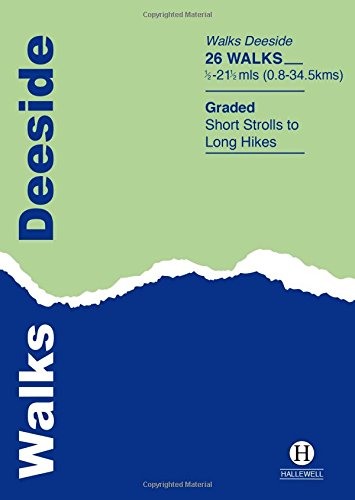
<div> This guide covers the walks around Royal Deeside: Banchory, Aboyne, Ballater and Braemar, as well as Balmoral. Routes include climbs in the Cairngorm National Park, hill paths around Loch Muick and gentler walks in the Dee valley. Walks range from 0.5 miles to 21.5 miles (0.8-34.5km). Routes include: Ben Macdui, Lochnagar, Jock’s Road and Craigendarroch.</div> <div> </div>
€5,95
Bekijk product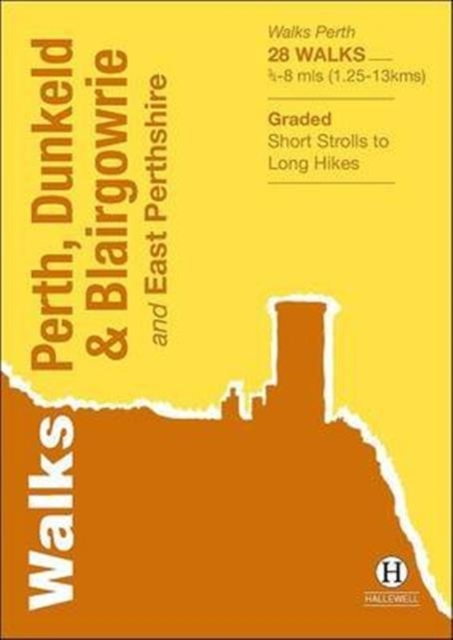
<div> Walks Perth, Dunkeld & Blairgowrie (previously published as Walks East Perthshire) has been completely rewalked and revised. The guide covers the eastern part of the county of Perthshire, with a number of walks in and around the city of Perth, plus hill walks on the edge of the Highlands and the marvellous Dunkeld path network. The 28 walks featured range from 0.75 miles to 8 miles (1.25-13km). Routes include: River Ericht, Birnam Hill, Perth to Kinnoull Hill and Abernethy Glen. Part of a popular series of A6 pocket walking guides which describe routes which are suitable for walkers of all abilities and to suit all tastes. Route descriptions are accompanied by 2-colour sketch maps. The guides are illustrated with line illustrations, and will provide walkers with a good introduction to what the area covered has to offer.</div> <div> </div>
€5,95
Bekijk product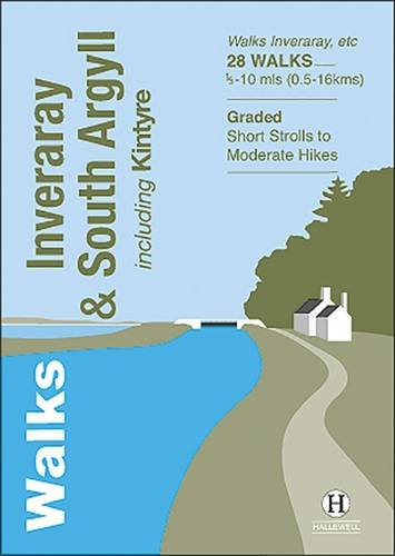
<div> Rewalked and updated in 2022, 'Walks Inveraray & South Argyll including Kintyre' covers the stretch of Scotland's west coast from Ardfern in the north to the Mull of Kintyre in the south. This is one of the quieter corners of Scotland, and though it lacks the high peaks of the north and west there are some marvellous and varied walks. Routes featured include the paths around historic Kilmartin and Dunadd, walks by the scenic Crinan Canal, and paths from Campbeltown and the coastal villages of Tayvallich and Inveraray. 28 routes (from 0.5-16kms/0.35-10 miles) are described. The guide is part of a popular series of A6 pocket walking guides describing routes suitable for walkers of all abilities and to suit all tastes. Route descriptions are accompanied by 2-colour sketch maps. The guides are illustrated with line illustrations, and will provide walkers with a good introduction to what each area covered has to offer.</div> <div> </div>
€5,95
Bekijk product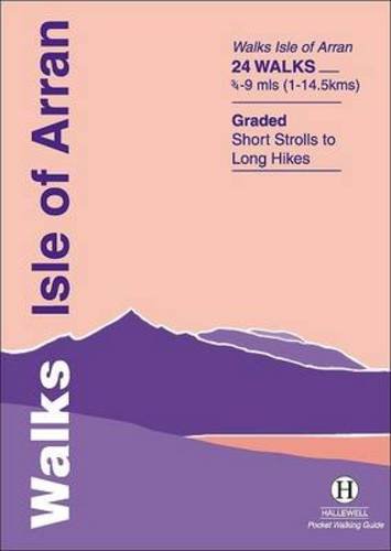
<div> Rewalked and updated in 2015, Walks Isle of Arran features 24 walks on the mountainous island of Arran in the Firth of Clyde. Known as `Scotland in miniature', the island provides a fine range of coastal, moorland, woodland and hill walks. The 24 walks featured range from 0.75 miles to 9 miles (1-14.5km). Routes include: Goatfell from Brodick, Brodick Country Park, Cock of Arran, Machrie Moor Stone Circles and a path over the twin peaks of Holy Island. The guide is part of a popular series of A6 pocket walking guides which describe routes which are suitable for walkers of all abilities and to suit all tastes. Route descriptions are accompanied by 2-colour sketch maps. The guides are illustrated with line illustrations, and will provide walkers with a good introduction to what each area covered has to offer.</div> <div> </div>
€5,95
Bekijk product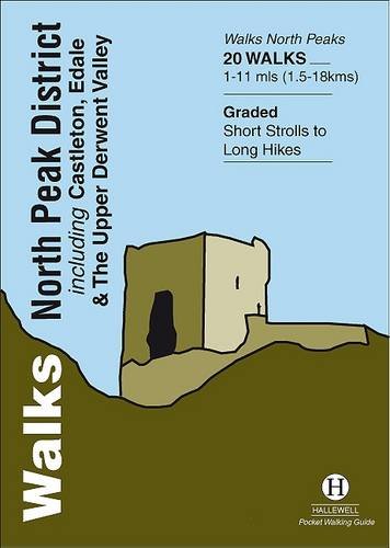
<div> Walks North Peak District features walks around Castleton, Edale and the Upper Derwent Valley, in the northern part of the Peak District National Park. Although there are no truly high peaks in the area, there are steep climbs onto Kinder Scout and up the wooded slopes around the reservoirs of the Derwent Valley, and long walks through bleak moorland scattered with tors. Around Castleton the contours are softer, but there are good ridge walks and paths leading to the surrounding caverns. Walks range from 1 to 11 miles (1.5-18kms). Routes include Ladybower, Hayfield to Kinder Scout, Rushup Edge and Stanage Edge. This guide is part of a popular series of A6 pocket walking guides which describe routes which are suitable for walkers of all abilities and to suit all tastes. Route descriptions are accompanied by 2-colour sketch maps. The guides are illustrated with line illustrations, and will provide walkers with a good introduction to what each area covered has to offer.</div> <div> </div>
€5,95
Bekijk product
<div> Walks Malham & The Three Peaks is part of a popular series of A6 pocket walking guides which describe routes which are suitable for walkers of all abilities and to suit all tastes. Route descriptions are accompanied by 2-colour sketch maps. The guides are illustrated with line illustrations, and will provide walkers with a good introduction to what each area covered has to offer. The 23 walks featured range from 1 mile to 9.5 miles (1.5-15km). Routes include: Whernside, three routes up Ingleborough, Ingleton Waterfalls Walk, Pen-y-ghent, Victoria Cave Loop, Gordale Scar & Malham Cove and Malham to Settle.</div> <div> </div>
€5,95
Bekijk product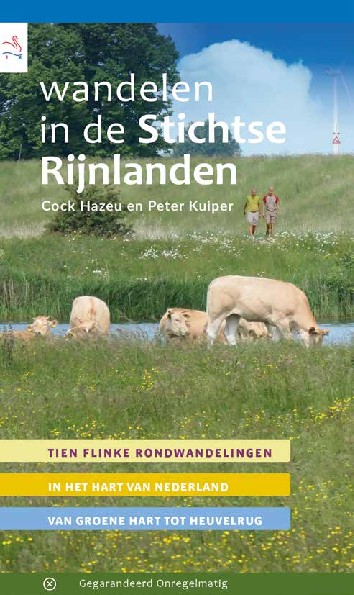
<p> Wandelen in De Stichtse Rijnlanden is de allernieuwste wandelgids in de serie van 'waterschapswandelingen' waar we zes jaar geleden aan begonnen zijn. Waterschappen blijken een goede maat te zijn om in een compacte regio een serie van mooie en interessante (rond)wandelingen te kunnen ontwikkelen. Het gebied van waterschap De Stichtse Rijnlanden ligt voor het overgrote deel in de provincie Utrecht: je wandelt in het Groene Hart, het stroomgebied van de Kromme Rijn, het Waterliniegebied ten zuidoosten van stad Utrecht, en op de Utrechtse Heuvelrug. Met deze wandelgids op zak doe je niet alleen tien mooie, nieuwe wandelingen, maar maak je ook goed kennis met deze fraaie en gevarieerde streek. En dat in het hart van Nederland, 'dichtbij', conform ons motto: WandelenDichtbij. Want om mooi te kunnen wandelen, hoef je niet persé eerst ver te reizen!</p>
€17,95
Bekijk product