
Beantwoord enkele vragen, en binnen seconden geeft AI je een persoonlijk aankoopadvies op maat.
Beantwoord enkele vragen, en binnen seconden geeft AI je een persoonlijk aankoopadvies op maat.
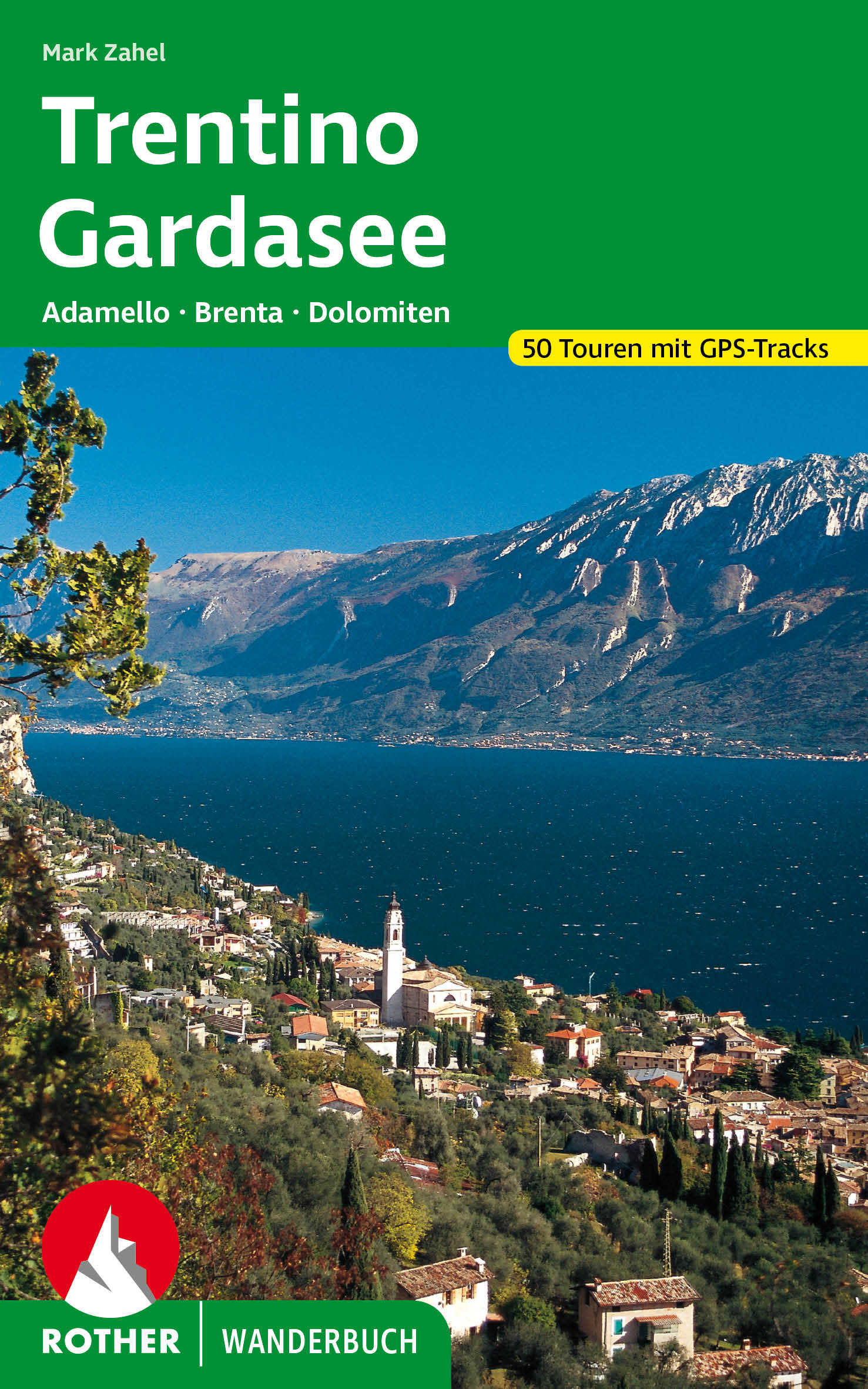
<p> Prachtige - Duitstalige - wandelgids met ca. 50 tochten verspreid over een behoorlijk gebied. Veel keuze met goede beschrijvingen van de tochten. Kaartmateriaal is niet altijd toereikend.</p> <p> De ‘Rother Wanderbücher’ behandelen telkens de 50 mooiste wandelingen, die variëren van eenvoudige kindvriendelijke wandelingen tot routes die aanzienlijk meer ervaring vereisen. Uitvoerige routebeschrijvingen, een aantrekkelijke lay-out met vele kleurenfoto’s, niets aan duidelijkheid te wensen gelaten hoogteprofielen, kaartjes met de ingetekende route en enige achtergrondinformatie. Het verschil met de rode wandelgidsjes van Rother is dat ze een groter gebied bestrijken: handig voor de één, minder bruikbaar voor de ander.</p> <p> 53 Wanderkärtchen im Maßstab 1:50.000 und 1:75.000,<br /> 51 Höhenprofile, zwei Übersichtskarten</p> <p> Das Trentino gehört aufgrund seiner enormen landschaftlichen Vielfalt zu den attraktivsten Alpenregionen und ist für Wanderaktivitäten wie geschaffen. Stattliche Gipfel bis ins hohe Dreitausenderniveau sind hier ebenso zu finden wie die bereits von einem typisch südländischen Charme geprägten Gefilde von »Bella Italia«. Wer am Gardasee vom mediterranen Flair umschmeichelt wird, ahnt oft nicht, dass man sich wenige Kilometer entfernt an den Gletschern des Adamello schon fast wie in die Arktis versetzt fühlen kann. Die bizarren Felsenreiche der Brenta und der Dolomiten ziehen Wanderer und Bergsteiger seit jeher in ihren Bann. Daneben bietet das Trentino viele unbekannte Winkel, die zu entdecken tiefe Zufriedenheit schenkt: hier ein verträumter Karsee, dort eine gemütliche Hütte, und von den Gipfeln immer wieder wunderbare Perspektiven auf eine großartige Berglandschaft.<br /> Anhand einer Auswahl von 50 Touren, die in sämtliche Gebirgsgruppen führen, hier und da sogar etwas über die eigentlichen Grenzen hinaus, wird dem Leser das Trentino als Bergwanderdorado schmackhaft gemacht. Das Spektrum reicht von leichten Wanderungen für Genießer bis zu hochalpinen Unternehmungen und einigen Mehrtagestouren. Ausführliche Routenbeschreibungen in Kombination mit kenntnisreichen Hintergrundtexten, farbigen Kartenausschnitten, Höhenprofilen sowie einer anregenden Bebilderung bieten eine hervorragende Basis, um auf der Sonnenseite der Alpen so richtig »auf Touren« zu kommen.</p>
€20,50
Bekijk product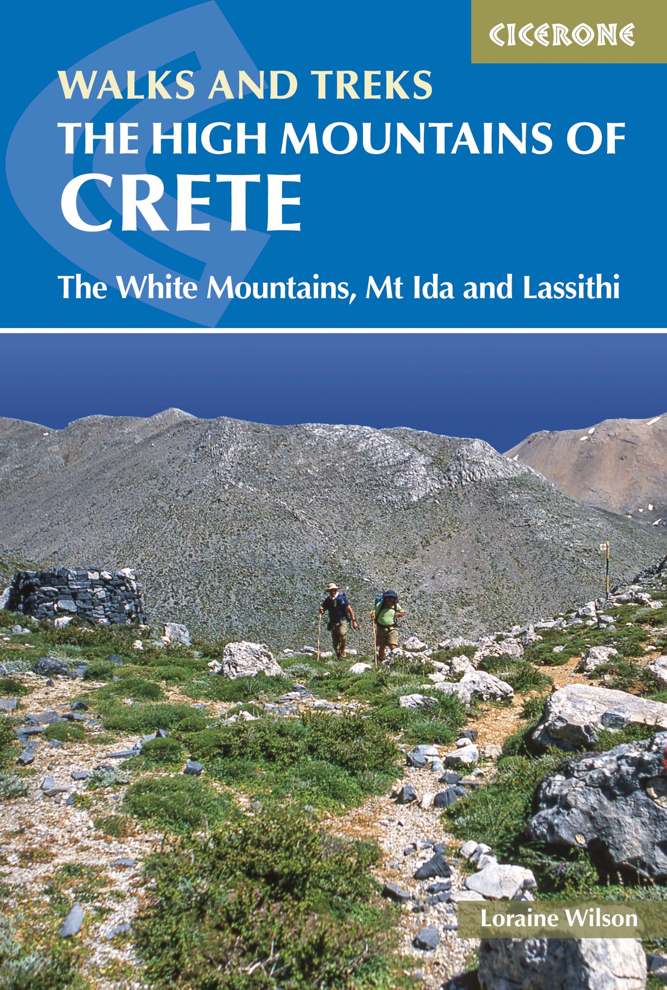
<div> Guidebook to walking and trekking the high mountains of Crete. The largest of the Greek Islands, Crete's mountains provide breathtaking walking and wilderness to this popular island. The routes in this guidebook are graded for difficulty and range from short, easy strolls to challenging, multi-day treks and summit climbs, so there are options for walkers of all abilities. </div> <div> </div> <div> All the mountain ranges of Crete feature high plains, gorges and ravines, but in the heart of the Lefka Ori there is something else. High above the treeline snow thaws by July to reveal a great circle of massive barren peaks, interspersed with ‘moonscape’ outcrops, or depressions, of sinkholes in black, grey or red rock. This high desert wilderness is seldom visited but covers some 960sqkm.</div> <div> </div> <div> In central Crete, where the island is at its widest, the huge mass of Psiloritis (Mount Ida) dominates the whole region. Covering about 560sqkm this massif is different in that a single huge, partly scree-surfaced summit ridge rises above massive cliffs on one side and a large area of lower peaks and forested foothills on the other. The summit of Mount Ida, at 2456m is the highest point in Crete. It offers several challenging linear walking routes including the high level Nida Plain.</div> <div> </div> <div> The Lassithi Mountains cover about 780sqkm and virtually divide central Crete from the eastern end of the island. It is not only the largest of the high mountain plains but also the largest flat area in Crete. About 820m in altitude, it is oval in shape, more than 9km across west-east, and 5km north-south.</div> <div> </div> <div> In Crete the E4 starts at Kastelli and takes in several of the less-visited archaeological sites on its journey east. Although the main trail follows the mountainous backbone of Crete, Cretan branches of the Hellenic Alpine Association have also designated good route ‘variations’ either along the coast, or as branches that lead to the main trail.</div> <div> </div> <div> There is also lots of general information provided on walking in Crete, getting there and getting around and advice on making the most out of exploring the island's mountains. With its dramatic gorges and numerous peaks rising to over 2100m, high mountain plains, forested crags, massive cliffs and remote beaches, Crete offers a wide range of landscapes and challenges for walkers. A combination of the climate and its ancient historical sites make the Greek island of Crete a great destination to explore on foot.</div> <div> </div> <div> walking routes range from 2 to 28km</div> <div> all routes are graded for difficulty: Grade A refers to short walks that are easy underfoot, to Grades D and E which are more demanding day walks on remote and rugged terrain which require good navigational and walking experience</div> <div> stunning photography and maps throughout</div> <div> </div>
€26,50
Bekijk product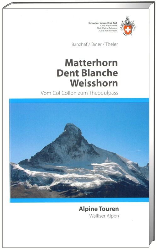
<p> Wandel- klimgids voor de Walliser Alpen met beschrijvingen van de routes naar toppen van bekende topppen:<br /> Bouquetins - Dents de Perroc, Dent Blanche, Grand Cornier, Gable horner - Zinalrothorn , Weisshorn, Diablons - Bella Tola & Matterhorn.</p> <p> Im Gebiet dieses Führers liegen die schönsten und berühmtesten Viertausender der Schweizer Alpen. In der Neuausgabe sind zahlreiche neue Routen aufgenommen worden, die in den Jahren seit 1975 von einheimischen Bergführern oder von andern Alpinisten eröffnet wurden.</p> <p> </p>
€49,95
Bekijk product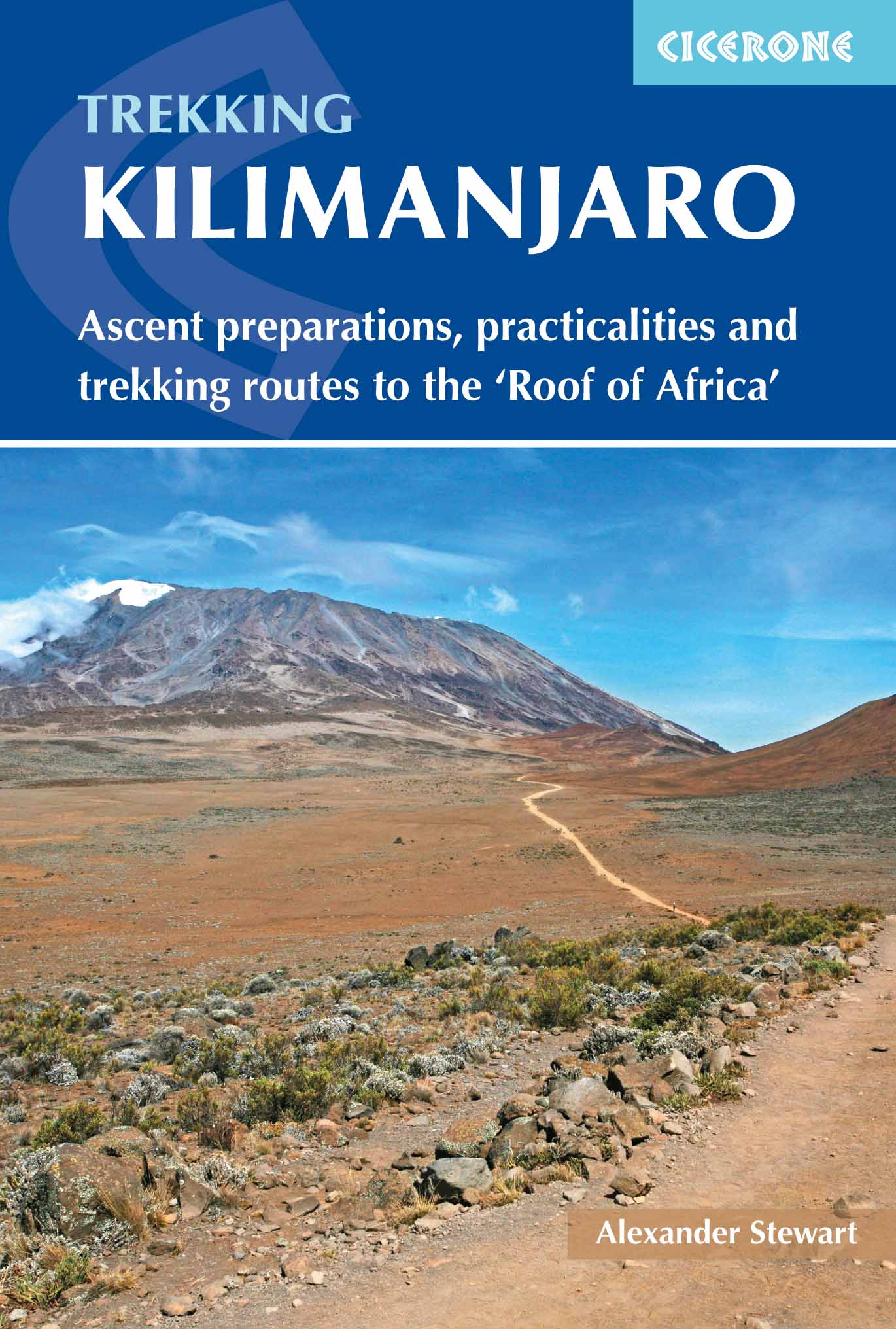
<p> Goede trekking - wandelgids van de Kilimanjaro. Beklimmingen kunnen van alle kanten in vele vormen en vrijwel alle routes staan goed beschreven in deze gids. Veel praktische informatie en een duidelijke routebeschrijving, duidelijke enigszins schetsmatige kaarten en een uitgebreide inleiding over wat je wel en niet moet meenemen, regelen en voorbereiden.</p> <div> At 5895m, Kilimanjaro is Africa's highest point and the highest freestanding mountain in the world, yet it is possible to reach its summit, Uhuru Peak, without any technical climbing ability. However, that is not to say that it is an easy undertaking: each year, many people fail in their attempt, often due to poor preparation or insufficient acclimatisation. Those who do make it to 'the Roof of Africa' are richly rewarded, enjoying outstanding views, the unique experience of being 'on top of the world' and, of course, a tremendous sense of achievement.</div> <div> </div> <div> Guidebook describing all the trekking routes on Kilimanjaro (5895m), one of the Seven Summits. With 6 ascent routes, 3 summit ascents, the Circuit Path and descent paths, the guide also provides comprehensive information on preparation and access, a route on Mt Meru, as well as information on accommodation and other facilities.</div> <div> </div> <div> Alexander Stewart's guidebook is packed with advice to maximise your chance of reaching Uhuru Peak. The first chapter covers preparation and practicalities, offering guidance on how to choose a route and an outfitter, along with extensive information on travel, equipment, health considerations, guides and porters and ethical trekking. The second chapter tells the story of Kilimanjaro and the people, plants and wildlife of the region, presenting a fascinating insight to enrich your trip. This is followed by a description of the six main ascent routes – the Marangu, Machame, Umbwe, Lemosho, Shira and Rongai Routes, plus three summit routes, two descent routes and the circuit path which circumnavigates the mountain.</div> <div> </div> <div> As a result of its height and location six hours from Nairobi, trekkers climbing Kilimanjaro move from the lush tropics, through temperate climes, alpine moorland and barren high-alpine desert to the permanently snow-capped, volcanic summit – and back – in the course of five or six days. The stunning natural beauty of the scenery, the warm and friendly locals and the unique sense of achievement make for a truly unforgettable experience.</div> <div> </div>
€23,95
Bekijk product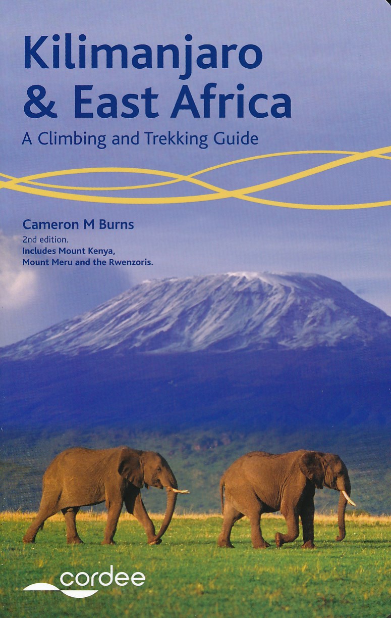
<div> For trekkers or climbers hoping to reach the top of Kilimanjaro or challenge themselves on the remote spires of Mount Kenya, or explore East Africa's lesser-visited areas such as Mount Meru and Rwenzoris of Uganda, this new and completely revised guide is ideal. </div> <div> </div> <div> The guide includes more than 50 routes, including summit walk-ups and serious technical climbs, there are details of useful websites for the trekker/climber visiting the area and dozens of do's and don'ts to help you stay safe. Also covered are tips on transportation, places to stay and how to obtain permits and visas. </div> <div> </div> <div> The author, Cameron Burns, has been writing guidebooks for many years and has travelled extensively all over the world; he is a regular contributor to the outdoor press writing articles on a range of topics - he also has a regular monthly column in Climber magazine</div>
€18,50
Bekijk product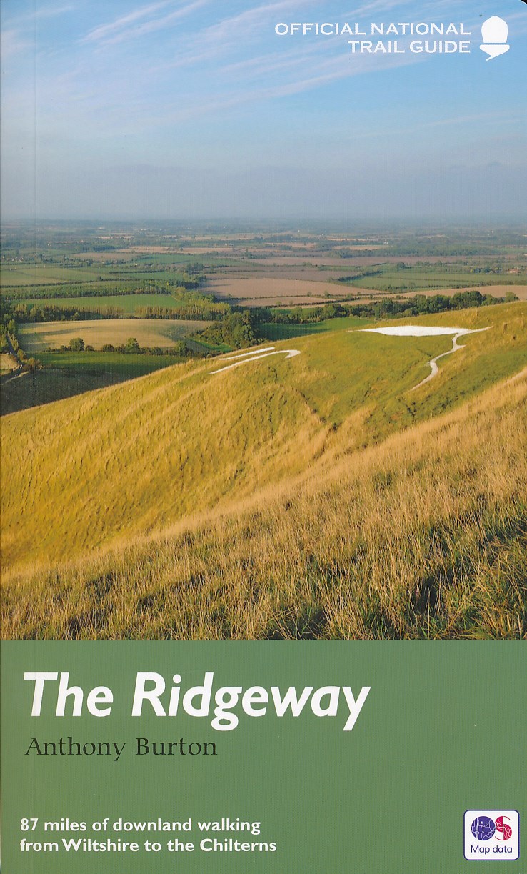
<p> Uitstekend routeboek met goede kaarten van Ordnance Survey. Praktische info voor overnachten enigzins beperkt achterin.</p> <div> <div> The Ridgeway follows one of the oldest ‘green roads’ in Europe. It runs for 87 miles (140 km) from Overton Hill in the west, across the Marlborough Downs and the Vale of the White Horse, to Ivinghoe Beacon on the northern edge of the Chilterns. This is the complete, official guide for the long-distance walker or the weekend stroller. All you need is this one book.</div> <div> </div> <div> Anthony Burton's official guide has been fully revised and updated for 2016, and this new edition has been completely redesigned with more and bigger photographs and much new background history and information. </div> <div> </div> <div> National Trail Guides are the official guidebooks to the fifteen National Trails in England and Wales and are published in association with Natural England, the official body charged with developing and maintaining the Trails.</div> </div> <p> </p>
€20,95
Bekijk product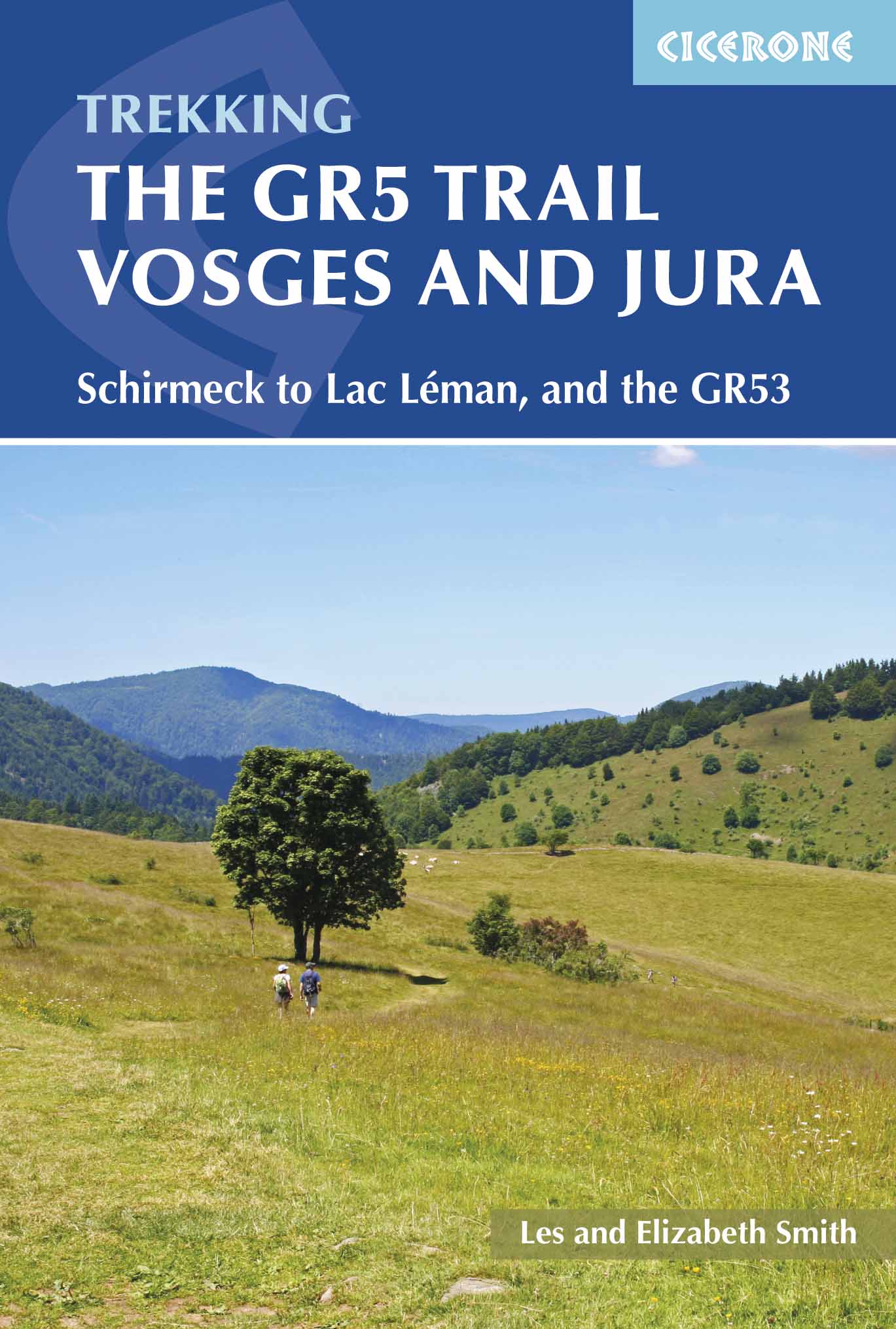
<p> <span style="color: rgb(0, 0, 0); font-family: "Helvetica Neue", Helvetica, sans-serif, Arial;">Uitstekende wandelgids van dit geweldige gebied. goed beschreven met veel praktische informatie om de route te kunnen lopen, inclusief redelijke kaarten.</span></p> <p> This guidebook describes a long-distance walking route through the delightful Vosges and Jura. Situated in France near the eastern border, the three regional parks of the Ballons des Vosges, Northern Vosges and Jura Mountains boast verdant forests, striking rock features and low rounded summits offering spectacular views. Yet, in spite of their extensive network of well-maintained paths, they are not high profile tourist destinations. This walk offers a chance to uncover the hidden secrets of this fascinating area, from its rich wildlife to ancient ruins.</p> <div> Starting in Wissembourg at the northeastern tip of France, the route follows the GR53 southwest to Schirmeck, before picking up the central section of the much-celebrated GR5 (which runs from the Hook of Holland to Nice) between Schirmeck and Nyon on Lake Geneva. The scenery is as varied as it is beautiful, from the tranquil forests of the Northern Vosges to the impressive river gorges of the Jura, from long-forgotten castles to the charming half-timbered villages of old Alsace. Well within the capabilities of any moderately fit walker and clearly waymarked, the entire trek takes five to six weeks, although it could also be walked in stages. </div> <div> </div> <div> The guide presents the route in 11 chapters, which in turn are broken into short sections of a few hours each, allowing for a flexible itinerary and easy route planning. There are also suggestions for shorter circular routes making use of sections of the GR53/GR5, as well as an overview of other long-distance routes in the region. A summary of local history, plants and wildlife and delicacies can be found in the introduction and appendices offer details of facilities on route and full accommodation listings. With clear route description and a wealth of information to help plan your trip, this comprehensive guide is an ideal companion to discovering this interesting and varied route.</div> <div> </div> <div> <strong>Steden en Dorpen</strong></div> <div> Wissembourg, Saverne, Schirmeck, Ribeauvillé, Villers-le-Lac, Les Rousses, Nyon</div> <div> </div> <div> GR-5</div> <div> </div> <div> </div>
€23,95
Bekijk product
<p> Uitstekende Engelstalige wandelgids van dit prachtige gebied op de grens van Engeland en Schotland.</p> <div> Guidebook to 30 of the best walks in Cumbria's enchanting Eden Valley. The graded routes, which range from 3 to 15 miles, explore the region's diverse landscapes and offer dramatic views, either of the Pennines, the Lake District or the Scottish hills. </div> <div> The walks, which work well from bases such as Kirkby Steven, Dufton and Appleby, are predominantly circular. Some of the linear routes link with the Settle-Carlisle railway. Map extracts from the 1:50K OS Landranger series accompany route description, and the handy route summary table makes it easy for walkers to compare routes. Invaluable information on transport, accommodation, clothing, equipment and safety is included, as are notes on the region's geology, wildlife and history.</div> <div> </div> <div> Situated next to the iconic Lake District, the Eden Valley is often overlooked as a walking destination. This works in its favour - it is as quiet as it is scenic - making it the perfect destination for those looking to escape the crowds. The featured routes are designed to give the walker a taste of everything the area has to offer. From peaceful woodland strolls to serious moorland hikes, and from explorations of the limestone uplands to walks on the Solway marshes, they visit just about every nook and cranny in the valley.</div> <div> </div> <div> <strong>Steden en Dorpen</strong></div> <div> Kirkby Stephen, Appleby, Crosby Ravensworth, Dufton, Penrith, Kirkoswald, Armathwaite, Brampton, Carlisle.</div>
€18,50
Bekijk product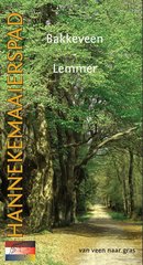
<p> Achtergrond traject Bakkeveen - Lemmer</p> <p> Het traject van het Hannekemaaierspad in dit boekje loopt van Bakkeveen naar Lemmer. De route gaat langs enkele, soms bijna verlaten gebieden, waar grootschalig veen gewonnen is.</p> <p> De tocht gaat over de oude zandruggen, waar Bakkeveen en Heerenveen op liggen. Het riviertje de Tjonger/Kuinder vormde in het verleden een belangrijke vervoersader, ook voor de Hannekemaaiers, die vaak per trekschuit reisden.</p> <p> Het eindpunt Lemmer was voor de turfvaart een belangrijke havenplaats. Hier stapten veel Hannekemaaiers van en op de boot.</p> <p> </p>
€9,95
Bekijk product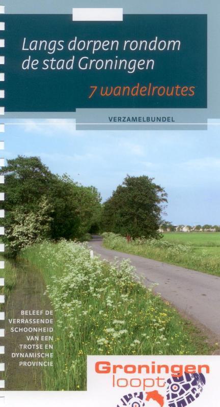
<p> In Groningen is verrassend veel te zien en te beleven. Met Groningen loopt! zijn de mooiste routes beschikbaar, met diverse toeristische informatiepunten.</p>
€8,50
Bekijk product