
Beantwoord enkele vragen, en binnen seconden geeft AI je een persoonlijk aankoopadvies op maat.
Beantwoord enkele vragen, en binnen seconden geeft AI je een persoonlijk aankoopadvies op maat.
<p> Franstalige wandelgids met een beschrijving van een aantal dagtochten. Uitstekende beschrijvingen met duidelijk kaartmateriaal. Mislopen is nauwelijks mogelijk, maar ja .. de franse taal! Ook praktische informatie staat in deze gids. Alle gidsen bevatten een door ons toegevoegde uitgebreide frans - nederlandse wandelwoordenlijst.</p> <p> Entre Landes et Gers, il est un pays d'abondance dont le nom évoque une liqueur de vie. De l'influence landaise, les marcheurs retiendront des bois piquetés de pins et une lumière blanche qui fait miroiter les pierres des bastides et églises (Montréal, Manciet). De la campagne Gerseoise, ils apprécieront les douces ondulations alternant les carrés jaunes des tournesols et les sages alignements du vignoble (Eauze). Traversant chaque village, les randonneurs se rendront également compte que la gastronomie est ici un art de vivre : foie gras, garbure, floc et autres pastis gascon contribuent à faire de ce pays une destination incontournable.</p>
€18,50
Bekijk product
<p> De ‘Rother Wanderbücher’ behandelen telkens de 50 mooiste wandelingen, die variëren van eenvoudige kindvriendelijke wandelingen tot routes die aanzienlijk meer ervaring vereisen. Uitvoerige routebeschrijvingen, een aantrekkelijke lay-out met vele kleurenfoto’s, niets aan duidelijkheid te wensen gelaten hoogteprofielen, kaartjes met de ingetekende route en enige achtergrondinformatie. Het verschil met de rode wandelgidsjes van Rother is dat ze een groter gebied bestrijken: handig voor de één, minder bruikbaar voor de ander.</p> <p> </p> <div> Das Allgäu gehört zu den beliebtesten und meistbesuchten Ausflugs- und Urlaubsgebieten der Alpen. Es vereint auf engstem Raum unterschiedlichste Landschaftsformen und bezieht seinen besonderen Reiz aus dem Kontrast zwischen der von Wiesen und Almweiden geprägten Tal- und Höhenlandschaft und den imposanten Felskulissen des Allgäuer Hauptkammes.</div> <div> Herbert Mayr beschreibt in diesem nun in der 4. Auflage vorliegenden Rother Wanderbuch die 50 schönsten Wanderungen in den Allgäuer Alpen, den Tannheimer Bergen und den westlichen Ammergauer Alpen. Der Schwerpunkt liegt bei einfachen Bergwanderungen, aber auch Bergfreunde der etwas »schärferen Art« kommen voll auf ihre Kosten. Es sind alle Allgäuer Gipfel von Rang und Namen vertreten, darüber hinaus wird auch mancher Geheimtipp vorgestellt. So reicht die Palette von der familienfreundlichen Halbtageswanderung auf den 1096 m hohen Hirschberg im Bregenzerwald bis hin zur anspruchsvollen Bergtour auf den höchsten Allgäuer Gipfel, den 2656 m hohen Großen Krottenkopf, sowie auf Mädelegabel und Hochvogel. Auch der Heilbronner Weg wird ausführlich vorgestellt.</div> <div> Eine Kurzinfo, farbige Wanderkärtchen im Maßstab 1:50.000 mit eingetragenem Routenver-lauf, aussagekräftige Höhenprofile, eine ausführliche Wegbeschreibung und Farbfotos zu jeder Tour erleichtern dem Wanderer die Planung und die Durchführung seiner Unternehmungen. Besonders benutzerfreundlich ist die Tourentabelle auf der Umschlagklappe, die dem Leser einen Überblick über Familienfreundlichkeit, Einkehr- und Übernachtungsmöglichkeit, Begehungshäufigkeit, Wintertauglichkeit sowie zur Länge und Schwierigkeit der einzelnen Touren vermittelt.</div>
€18,50
Bekijk product
<p> Wandelgids van de 125km lange Lechweg van Lech am Arlberg tot Füssen in de Allgäu.</p> <div> Der Lechweg. Großartige Wildflußlandschaft in Europa, In 8 Etappen von der Quelle bis nach Füssen. Übersichtskarte, Routenkarten - Christel Blankenstein - Berg & Tal Verlag</div> <div> </div> <div> <div> Der am 15. Juni 2012 eröffnete Lechweg erschließt auf rund 125 Kilometern die herrliche Gebirgslandschaft vom Quellgebiet des Lechs bis zum Lechfall in Füssen.</div> <div> </div> <div> In 8 Etappen – mehr oder weniger sind möglich – durchwandert man bei Lech am Arlberg das reizvolle Hochtal des jungen Flusses, gelangt hinab ins Tiroler Lechtal mit seiner großartigen Wildflusslandschaft, die eine der letzten in Europa ist, und wechselt schließlich ins deutsche Ostallgäu mit den weltberühmten Königsschlössern Neuschwanstein und Hohenschwangau. Der Weg verläuft auf leichten bis mittelschweren Wegen sehr abwechslungsreich am Fluss, dann wieder an den Talhängen entlang und ist für Anfänger ebenso geeignet wie für trainierte Senioren.</div> <div> </div> <div> Die Autorin ist den Weg in voller Länge gegangen und hat neben genauen Wegbeschreibungen in beiden Richtungen viel Sehens- und Wissenswertes zusammengetragen. Ferner gibt sie Hinweise auf ebenfalls leichte Extra-Touren, da man die Etappen auch sehr gut von einem Standquartier aus absolvieren kann. Alle nötigen Angaben wie Übernachtungsverzeichnis, Anreise, Ausrüstung etc. finden sich ebenfalls in dem schön bebilderten Buch.</div> </div> <p> </p>
€17,50
Bekijk product
<p> </p> <div> The Swiss Alps are home to the highest and most spectacular mountains in Western Europe. This stunning guidebook describes each mountain area throughout Switzerland – the peaks, passes, valleys and bases – to help you identify the best destinations to plan your trip.</div> <div> </div> <div> Questions such as ‘Where to walk, climb or ski?’, ‘What multi-day treks are available’ and ‘Where do they go?’, ‘Where are the mountain huts, what are their facilities, which peaks do they serve?’ And where are the most suitable valley bases?’ – all these and more are addressed in detail in this essential guidebook.</div> <div> </div> <div> The Swiss Alps does not give detailed route directions but information is given about all the guides and maps available for every region.</div> <div> </div> <div> The Swiss Alps by Kev Reynolds is the third book in Cicerone’s World Mountain Ranges series, which include The Pyrenees and Scotland.</div> <div> </div> <div> descriptions of all the Swiss Alps, area-by-area from the Chablais Alps in the south west to the Silvretta in the north east</div> <div> classic walks and climbs identified, alongside outlines of all the major hut-to-hut trekking routes</div> <div> information on maps, guides and accommodation, pinpointing all the mountain huts in the area</div> <div> </div> <div> <p> This book sets out to redress the balance, to introduce those who have not yet found them to some of the unfamiliar and largely unsung mountains and valleys, while still giving due regard to the giants that dominate the landscape at Zermatt, Grindelwald or Pontresina. It’s a handy resource for the active hillwalker, trekker, climber and ski tourer; a guide and gazetteer to the peaks, passes and valleys, providing sufficient background information to help anyone planning a visit to make the most of their time there. Questions such as ‘Where to walk, climb or ski?’, ‘What multi-day treks are available and where do they go?’, ‘Where are the mountain huts, what are their facilities, which peaks do they serve?’, and ‘Where are the most suitable valley bases?’ – all these and more are addressed in detail.</p> <p> This book does not give detailed route directions but information is given about all the guides and maps available for every region under review. The aim of this volume is not to lead step by step, but to inspire, to entertain and to inform; to show the first-time visitor – and those who have already discovered one or two of its districts – what the Swiss Alps have to offer. The emphasis is on activity; the intention to help the reader gain a quality experience with every visit. In truth the outdoor enthusiast is spoilt for choice, but armed with this guide, it should be possible to make that choice a better informed one.</p> <p> Dozens of individual valleys are described, together with the mountains that wall them, with recommendations given for their finest walks, treks and climbs. Such recommendations are purely subjective readers may well take issue with some of the suggestions. That is just how it should be.</p> </div> <p> </p>
€34,95
Bekijk product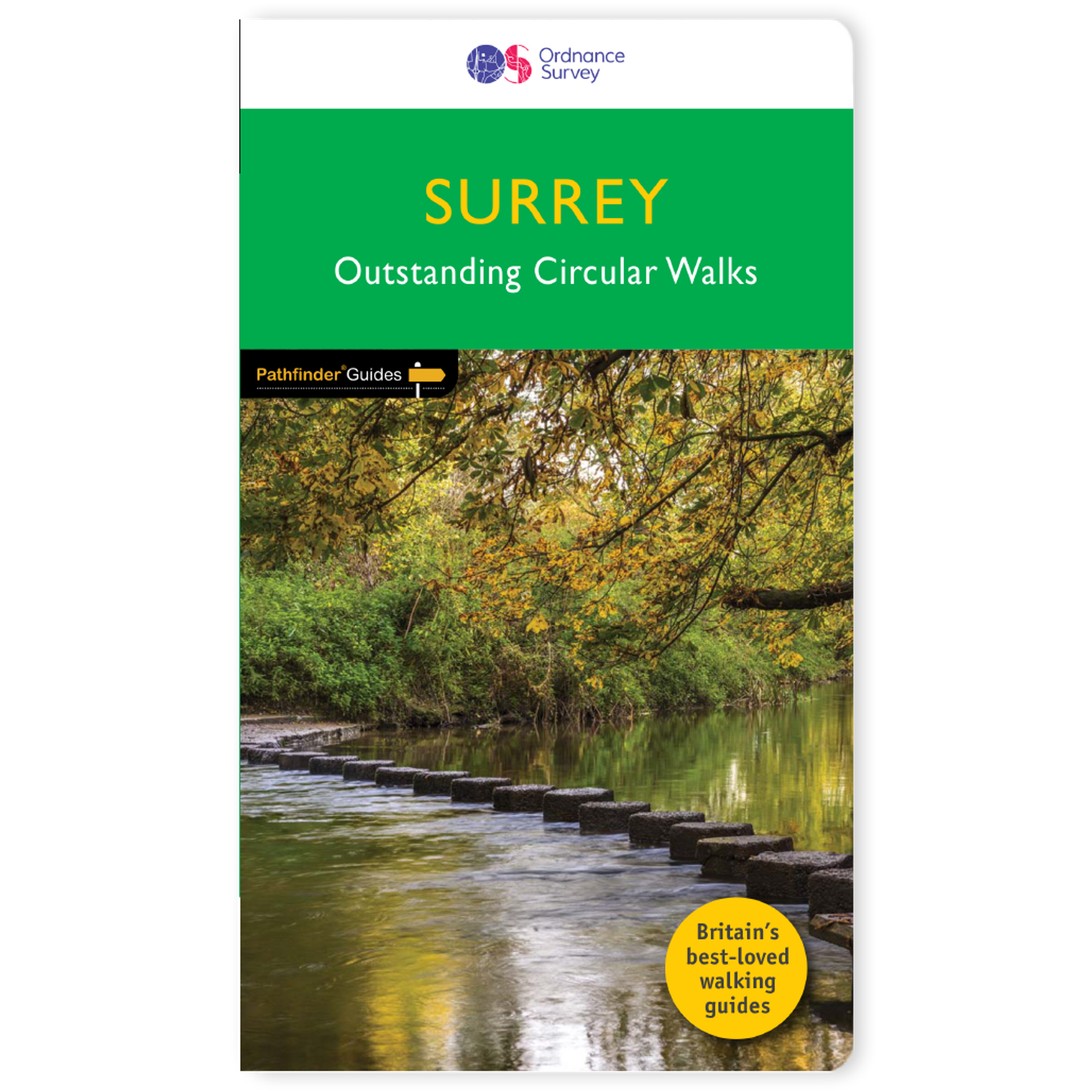
<p> Fraaie, goed verzorgde wandelgidsjes met 28 wandelingen van max. een dag, (beginnend bij korte, eindigend bij langere wandelingen). Weergegeven op duidelijke topografische kaartjes (1:25.000). Bevat verder wetenswaardigheden en praktische informatie voor onderweg.</p> <p> Areas covered include the North Downs Way and Box Hill, with all walks accompanied by GPS waypoints, Ordnance Survey maps and beautiful photography.</p> <p> The Pathfinder Guide to Surrey Walks contains 28 fantastic circular walks across the county, much of which lies only a few miles away from the heart of London but which contains some of the country's most beaufiul landscapes, including the oldest untouched area of natural woodland in the UK and the rolling contours of the North Downs. Each walk in Pathfinder Guide to Surrey Walksis accompanied by clear, large-scale Ordnance Survey route maps and GPS waypoints to help you navigate your hike with ease. Exploring one of the most popular Home Counties, Pathfinder Guide to Surrey Walksguides the walker to some of the best walking destinations in the county, from Box Hill and Wisley to the Devil's Punch Bowl and the River Wey.</p> <p> Away from the city, Pathfinder Guide to Surrey Walks presents a host of beautiful countryside walks that offer remarkable hikes with unspoilt landscapes accessible to walkers of all abilities. Pathfinder Guide to Surrey Walkstakes you through the North Downs and heathlands of western Surrey to locations made popular in Jane Austen's Emma and War of the Worlds by H. G. Wells. Inside you'll also find a wealth of helpful information accompanying each walk, including good pubs along the way, where to park before you start your walk and places of interest en route. Pathfinder Guides are Britain's best loved walking guides. They are the perfect companion for countryside walks throughout Britain. Each title features circular walks with easy-to-follow route descriptions, tried and tested by seasoned walkers and accompanied by beautiful photography and clear Ordnance Survey mapping. The routes range from extended strolls to exhilarating hikes, so there is something for everyone.</p>
€18,50
Bekijk product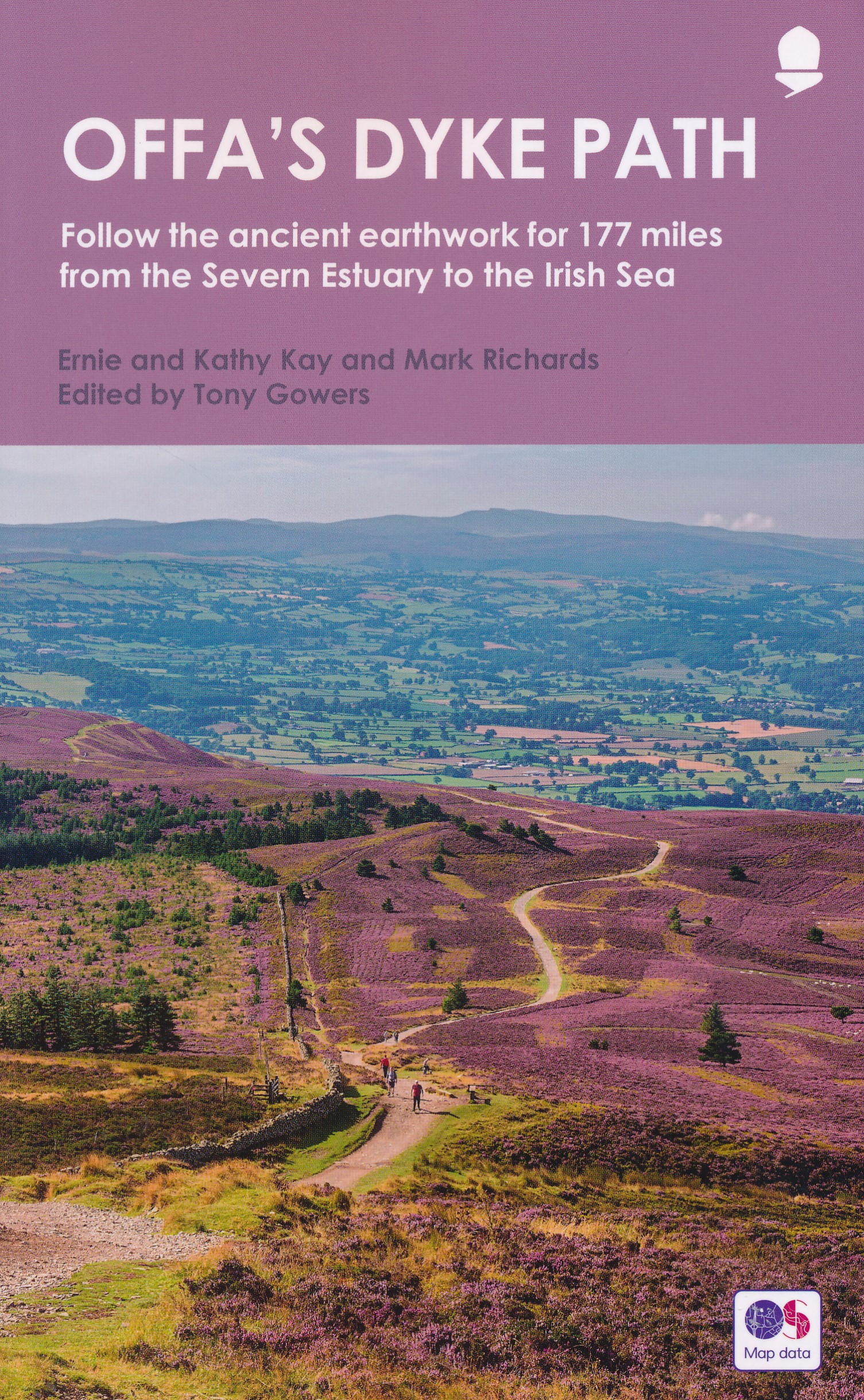
<p> Goede beschrijving van de aantrekkelijke route. Kaartmateriaal van Ordnance Survey - de Engelse topografische dienst op een schaal van 1:25.000. Praktische info voor overnachten ed. niet altijd uitgebreid, maar die is op de site van de Ramblers (de engelse wandelorganisatie) te vinden.</p> <p> Offa's Dyke Path is the 177-mile (283-km) National Trail following the course of the man-made dyke that gives it its name. This volume, now fully updated, features the complete section of the Path, following Natural England's acorn waymarks from Chepstow to Prestatyn. This is the complete, official guide for the long distance walker or the weekend stroller. All you need is this one book. National Trail Guides are the official guidebooks to the fifteen National Trails in England and Wales and are published in association with Natural England, the official body charged with developing and maintaining the Trails. </p>
€20,95
Bekijk product
<div> A guidebook to Austria's Adlerweg (the Eagle's way) a long-distance trail from St Johann in Tirol in the east, passing through the historic town of Innsbruck at its mid-point before continuing to St Anton am Arlberg in the west. This waymarked 324km trek is presented in 24 stages ranging between 7 and 32km in length, with easier alternate routes provided for the most difficult stages. This guide features 1:50,000 mapping, accommodation details for the start and end points of each stage, which serve hearty meals and refreshments, and details on local transport, planning and local history.</div> <div> </div> <div> Traversing the North Kakalpen Alps the route passes through the Wilderkaiser, Bradenberger Alpen, Rofangebirge, Karwendelgebirge, Wettersteinebirge and the Lechtaler Alpen ranges, enjoying views as far as Munich and the Swiss Alps. It is the perfect adventure for those looking for an alpine challenge.</div>
€26,50
Bekijk product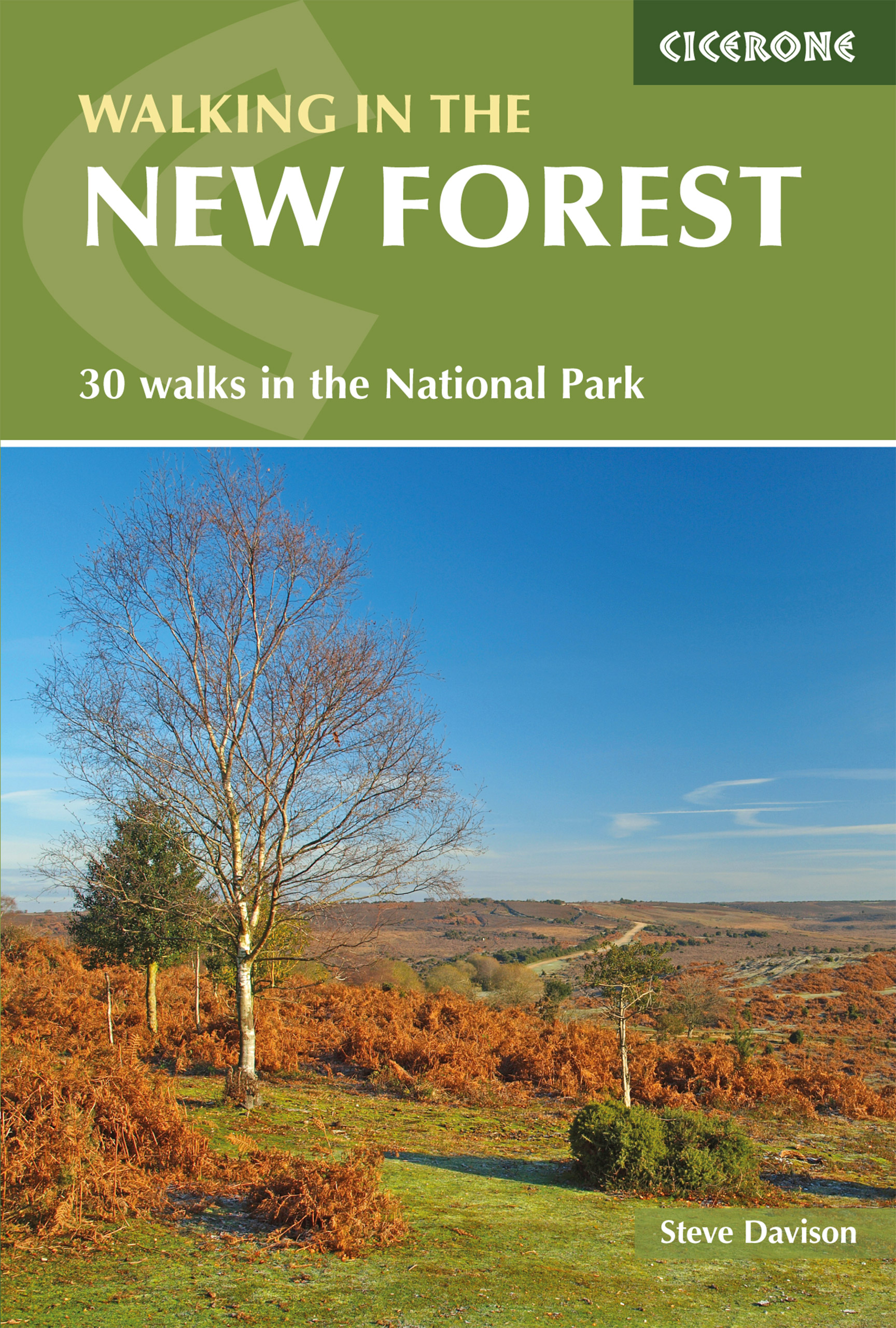
<p> Goede wandelgids met veel dagtochten, geschikt voor iedereen.</p> <div> </div> <div> A guidebook to 30 walks of between 3 and 10 miles set throughout the New Forest National Park in Hampshire and Wiltshire. Routes explore ancient woodland, heather-clad heath and dramatic coastline, all within easy reach of Southampton, Bournemouth and Salisbury. Walks for all abilities, easily combined to create longer challenges.</div> <div> </div> <div> <div> This guidebook presents 30 walks in the New Forest in Hampshire and Wiltshire, Britain's smallest National Park. Easily accessible from Southampton, Bournemouth, Salisbury and Winchester, the New Forest encompasses varied landscapes, from ancient woodlands to open heaths, rivers and coastline. Routes of between 5 and 16km (3 and 10 miles) explore the Forest, mainly on fairly flat terrain, often on well-defined tracks and paths. Most walks are suitable for all the family and many can be combined to make longer outings.</div> <div> Each walk is described in detail, highlighting the many points of interest in this area - ancient sites and castles, picture postcard villages with thatched cottages or historic churches - with fascinating background detail. An extract of 1:25,000 OS mapping makes each route easy to follow, and suggestions for refreshment stops like pubs and tea rooms are included. All walks offer a good chance of seeing wildlife, including the famous New Forest ponies.</div> <div> This area has been protected and nurtured by ancient laws for over 900 years, and is the largest remaining area of lowland heath in Europe. It is this sense of history and the unique patchwork of habitats that make walking in the New Forest National Park such a rewarding experience.</div> </div> <p> </p>
€18,50
Bekijk product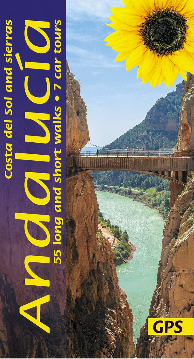
<p> Wandelgids: vele dagtochten worden degelijk beschreven met openbaar vervoer informatie, goede routebeschrijvingen en kaartmateriaal. Tevens enkele autotochten: Engelstalig</p> <p> Over the years, Sunflower had more requests for a book about Andalucía than any other destination. And now here is the second edition of this guide that captures the very essence of this most evocative part of Spain. An ever-changing landscape awaits your discovery, from the 'white villages' and ancient towns to the never-ending sierras, interspersed with razor-sharp gorges and gentler, verdant valleys.</p> <p> 7 car tours, 60 long and short walks, </p> <div> This guide book captures the very essence of this most evocative part of Spain. An ever-changing landscape awaits your discovery whether you are driving or walking in Andalucía — from the ‘white villages’ and ancient towns to the never-ending sierras, razor-sharp gorges and gentle verdant valleys. Since many people will explore Andalucía by car, most of the walks are circular.</div> <div> </div> <div> Area covered: Despite covering only about a third of Andalucía, the book still takes in a huge area and is intended as an introduction to the south-central part of the region. The tours and walks fan out from the Costa del Sol — east to Granada and the Sierra Nevada, and west to Ronda and the Sierra de Grazalema. Most walks are concentrated within specific areas: the Alpujarra, Sierra Nevada, Axarquía, Parque Natural Montes de Malaga, Sierra de Mijas, Sierra de las Nieves and Sierra de Grazalema.</div> <div> </div> <div> The best months for walking in Andalucía are March to May, September and October, with comfortable temperatures and colourful countryside.</div>
€23,50
Bekijk product
<p> Franstalige wandelgids van de GR10. Uitstekende beschrijving met gedetailleerd kaartmateriaal (topografisch, IGN) en veel praktische informatie over zwaarte, hoogte en hutten. Bijna onmisbaar voor het lopen van deze route. In andere beschrijvingen zijn geen goede kaarten bijgevoegd! Wij leveren er een beknopte Frans-Nederlandse woordenlijst bij. Dit deel beschrijft de route van Arrens - Lourdes - Melles in de Centrale Pyreneeen.</p> <p> 15 jours en hauteur, d'Arrens à Bagnères-de-Luchon. Inclus le tour du Val d'Azun.</p> <div> Le sentier franchit plusieurs cols dépassant les 2000 mètres, qui offrent de magnifiques points de vue sur le Pic du Midi de Bigorre, le Pic Long ou le Pic de Bacanère. Mais il longe aussi des bassins au doux relief, ouverts à la lumière comme à Luz-St-Sauveur ou Bagnères-de-Luchon.</div> <div> </div> <div> Sur ce parcours varié, le randonneur avance de panoramas en sites célèbres (Gavarnie), de stations réputées en villages typiques. Il traverse des vallées où les activités pastorales sont de vieille tradition. D'ouest en est, d'Arrens à Bagnères-de-Luchon, cet itinéraire réserve 15 jours de bonheur aux amoureux de la montagne.</div> <div> </div> <div> L'ouvrage comprend aussi deux circuits plus courts : le tour du val d'Azun, à effectuer en 5 jours et le GR 101 qui, en 2 jours relie Lourdes au col de Saucède.</div>
€18,95
Bekijk product