
Beantwoord enkele vragen, en binnen seconden geeft AI je een persoonlijk aankoopadvies op maat.
Beantwoord enkele vragen, en binnen seconden geeft AI je een persoonlijk aankoopadvies op maat.

<p> Lonely Planet heeft een nieuwe serie uitgebracht: Best Day Walks in verschillende landen. Het zijn de - door Lonely Planet uitgekozen - mooiste wandelingen verspreid over het land. Goed beschreven, met een schetsmatige kaart erbij ... het werkt heel stimulerend met mooie foto's!</p> <div> Lonely Planet's Best Day Walks Italy is your passport to 60 easy escapes into nature. Stretch your legs outside the city by picking a hike that works for you, from just a couple of hours to a full day, from easy to hard. Hike the Dolomites, explore the Italian Lakes, and stroll Sardinia's coast. Get to the heart of Italy and begin your journey now!</div> <div> </div> <div> Inside Lonely Planet's Best Day Walks Italy Travel Guide:</div> <div> </div> <div> Colour maps and images throughout</div> <div> </div> <div> Special features - on Italy's highlights for walkers, kid-friendly walks, accessible trails and what to take</div> <div> Best for… section helps you plan your trip and select walks that appeal to your interests</div> <div> Region profiles cover when to go, where to stay, what's on, cultural insights, and local food and drink recommendations to refuel and refresh. Featured regions include:</div> <div> Italian Lakes, Campania & the Amalfi Coast, Abruzzo, Tuscany, Sicily, Dolomites & Stelvio, Sardinia, Umbria & Le Marche, Liguria and Western & Maritime Alps</div> <div> </div> <div> Essential info at your fingertips - walk itineraries accompanied by illustrative maps are combined with details about walk duration, distance, terrain, start/end locations and difficulty (classified as easy, easy-moderate, moderate, moderate-hard, or hard)</div> <div> </div> <div> Over 60 maps</div>
€22,50
Bekijk product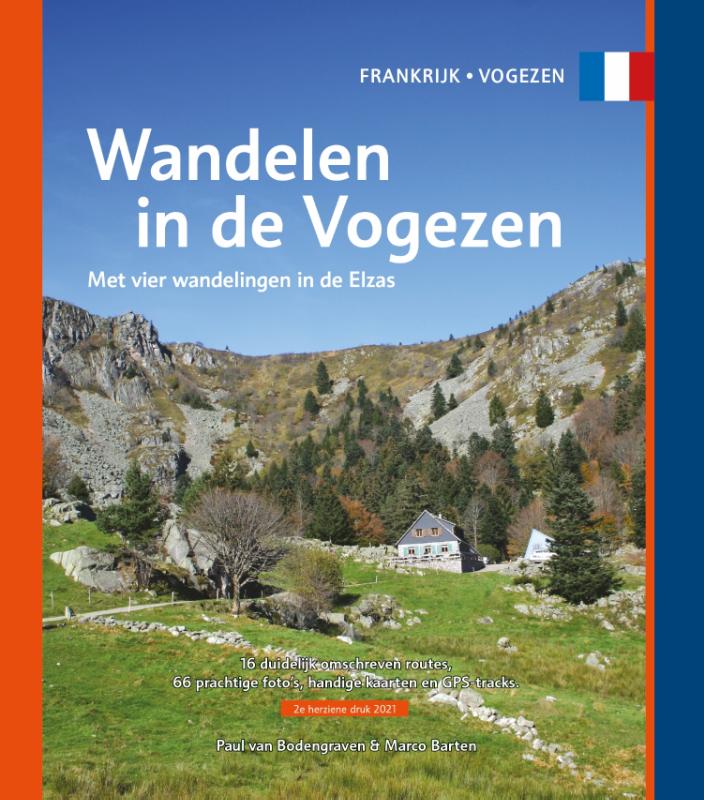
<p> Gids met 16 rondwandelingen in de Vogezen (waarvan vier in de Elzas). Routebeschrijving, kaart, foto's en GPS-tracks. Als je vanuit Nederland of België komt, vind je de eerste èchte bergen in de Vogezen, in het noordoosten van Frankrijk. Met toppen die tot boven de boomgrens reiken, kun je hier je conditie en uithoudingsvermogen beproeven op de vele wandelpaden langs de hellingen. Die zijn nooit te steil om niet gewoon te kunnen lopen, maar uitdagend en betoverend mooi. Bovenop word je beloond met de mooiste vergezichten. Op heldere dagen kijk je tot ver in de buurlanden. Maar ook als je eens een dagje niet de bergen in wilt, vind je wel een of meerdere tochten die niet direct een aanslag doen op de kuitspieren. Groene valleien langs slingerende beken en rivieren vormen het decor voor wat gemakkelijkere tochten. Of maak een wandeling door de wijngaarden aan de oostkant van de bergketen, op het randje met de Elzas. Gecombineerd met een bezoekje aan een van de vele wijnstadjes is zo’n wandeling ook een fantastische manier om de charmes van de Vogezen te ontdekken. De wandelingen in deze gids lopen overwegend in het oostelijke, bergachtige deel van de Vogezen en aan het randje van de Elzas. Het is juist de combinatie van ruige natuur en wijncultuur die een bezoek aan deze regio zo de moeite waard maken. Frankrijk kent een lange en uitgebreide wandelinfrastructuur en er lopen dan ook heel wat routes en langeafstandspaden door het departement. De 16 rondwandelingen in deze gids brengen je naar een paar van de mooiste plekken, over prachtige paden. Pittig, maar zeer zeker ook lonend. Geniet ervan!</p>
€15,95
Bekijk product
<p> Uitstekende uitgebreide wandelgids van een bepaald deel vsn het Lake District, één van de mooiste wandelgebieden van Engeland. De routes zijn goed beschreven, met prima kaartmateriaal. Zolang je niet van de route afwijkt is deze gids voldoende om de wandelroute te lopen. </p> <p> Part of the Walking the Lake District Fells series, this guidebook covers a wide range of routes to 28 Lakeland summits that can be climbed from the Borrowdale and Thirlmere valleys - both easily accessed from Keswick - with highlights including Catbells, Great Gable and Scafell Pike. Suggestions for longer ridge routes are also included.</p> <div> This guide describes ascents of 28 Lake District fells that can be climbed from Borrowdale and the Newlands and Thirlmere valleys, including Catbells, a perennial favourite, and the mighty Scafell Pike, Great End and Great Gable. Easily accessed from Keswick, Borrowdale is a valley of exquisite natural beauty, with the lower wooded and heather-clad slopes giving way to sweeping moors and craggy heights. With such great variety within so small a vicinity, the fellwalker is spoilt for choice.</div> <div> </div> <div> Unlike other guidebooks which describe a single or limited number of routes to a particular destination, the aim of the Walking the Lake District Fells series is to offer all the options. These are presented as numbered sections which can be combined to create infinite possibilities - from simple ascents to longer ridge routes. You'll find the classics and popular routes alongside less traditional alternatives perfect for the wandering spirit. The series gives you both the freedom to devise your own routes and the information to make informed decisions, thanks to the clear descriptions of the routes, terrain, hazards, interesting features and safe descent paths should the weather close in. Also included are a handful of classic ridge routes for longer fell days.</div> <div> </div> <div> Mark Richards' inimitable text is complemented by HARVEY mapping and the author's own beautiful sketch topos and panoramas. Perfect for keen hillwalkers and peak-baggers alike and ideal both for pre-planning and use on the hill, Walking the Lake District Fells is the new incarnation of the Fellranger series, which sees the volumes updated and trimmed to a more practical size. These true connoisseurs' guides are sure to inspire you to get out and explore the beautiful fells of Lakeland.</div> <div> </div>
€20,95
Bekijk product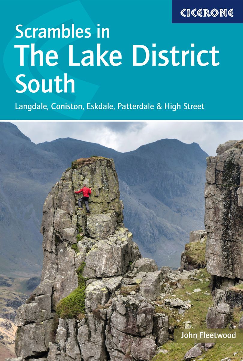
<p> Uitstekende uitgebreide wandelgids van een bepaald deel vsn het Lake District, één van de mooiste wandelgebieden van Engeland. De routes zijn goed beschreven, met prima kaartmateriaal. Zolang je niet van de route afwijkt is deze gids voldoende om de wandelroute te lopen. Dit zijn pittige tochten!</p> <div> Guide to 106 scrambling routes in the south of the English Lake District, covering Langdale, Coniston, Eskdale, Patterdale & High Street. A comprehensive collection of scrambles on crags and gills, which are linked together to form 24 first-class mountain days. The carefully graded routes range from scrambling grade 1 to climbing grade V Diff, so there is something for beginners as well as veteran mountaineers. Rock climbing equipment is needed for more difficult routes.</div> <div> Each scramble is clearly described with notes about grade, quality, aspect and approach, with colour maps and topos to aid navigation. There is information on safety and equipment, and listings of scrambles by location and grade allow the reader to assemble their own tailor-made combination of routes.</div> <div> The Lake District is one of the most scenic areas in the world and this guide offers new routes in previously unexplored corners of the region alongside popular classics such as Jack's Rake, Esk Gorge and Pinnacle Ridge, as well as dramatic gills like Dungeon and Linkcove Gill. 10 classic rock climbs are also presented including Giant's Crawl, Middlefell Buttress and Crescent Climb.</div>
€26,95
Bekijk product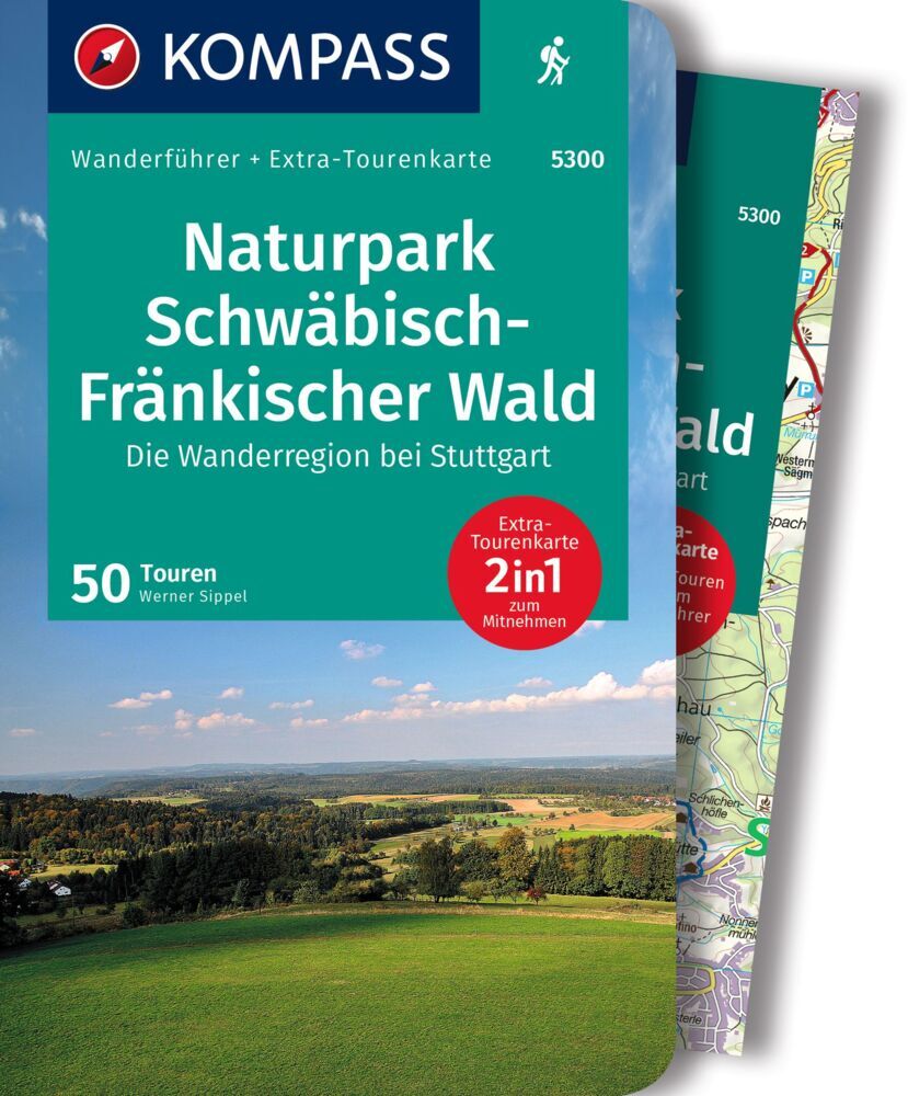
<p> Goede Duitstalige wandelgids met heldere beschrijvingen van de wandeltochten. Met hoogteprofiel, kaartje en de benodigde praktische informatie als bijvoorbeeld de startlocatie met GPS coördinaten. De wandelingen zijn ingedeeld in zwaarte en dan op verschillende kleuren weergegeven. Er worden eenvoudige wandelingen tot pittige (berg)tochten beschreven, voor getrainde en ongetrainde wandelaars. Een aantal wandelingen zijn geschikt om met kinderen te doen. Belangrijke toevoeging bij de Kompass wandelgidsen is een bijgevoegde losse wandelkaart van het betreffende gebied waarop de wandelingen uit de gids op de kaart heel duidelijk zijn ingetekend.</p> <div> DIE Wanderregion bei Stuttgart! Der 1270 km² große Naturpark Schwäbisch-Fränkischer Wald erstreckt sich nordöstlich des Großraums Stuttgart und östlich von Ludwigsburg und Heilbronn.</div> <div> </div> <div> Anders als der Name des Naturparks Schwäbisch-Fränkischer Wald vermuten lässt, führen die Rundtouren in der Mehrzahl nicht in dichte Wälder, sondern zu sehr aussichtsreichen Wegstrecken und Aussichtspunkten. In Destination:</div> <div> - Der 1270 km2 große Naturpark Schwäbisch-Fränkischer Wald erstreckt sich nordöstlich des Großraums Stuttgart und östlich von Ludwigsburg und Heilbronn. Anders als der Name vermuten lässt, führen die 50 Touren in der Mehrzahl nicht in dichte Wälder, sondern zu sehr aussichtsreichen Wegstrecken und Aussichtspunkten.</div> <div> - Mühlen: Im Naturparkgebiet gibt es viele erhaltene und sehr schön restaurierte Säge-und Mahlmühlen, wie z.B. die Heinlesmühle, die Menzlesmühle und die Meuschenmühle.</div> <div> - Limes: Die römischen Besatzer bauten den Grenzwall Limes über eine Länge von etwa 550 km, 50 km davon liegen im Parkgebiet. Reste des Walls und der Kastelle (z. B. in Welzheim) sind entlang des Limes-Wanderweges sichtbar. Rekonstruierte Limes-Türme stehen bei Lorch, Mainhardt und Grab.</div> <div> - Sehenswerte alte Dörfer und Städte wie Waldenburg, Löwenstein und Murrhardt lohnen einen Rundgang.</div> <div> - Die Region ist geprägt durch gut erhaltene Burgen, Schlösser und Klöster. Burg Waldenstein, Burg Maienfels, Burgruine Löwenstein, Schloss Ebersberg, Hagberg-Turm, Waldenburg, Juxkopf-Turm, Burg Hohenbeilstein und Korber Kopf bieten prächtige Aussichten.</div> <div> - Freizeitspaß bieten mehrere Bade-und Angelseen mit Spiel-und Grillplätzen: Ebnisee, Aichstruter See, Finsterroter See, Hagerwaldsee, Hüttenbühlsee, Neumühlsee.</div> <div> Kurzinfo zum Produkt:</div> <div> - Das sportliche Highlight: Die Schluchtentour: Von Murrhardt in der spektakulären Hörschbachschlucht zum Vorderen und Hinteren Wasserfall. Zurück in der wildromantischen Franzenklinge.</div> <div> - Das Familien-Highlight: Rundtour bei Lorch: Das Kloster, der Limes, die Wasserspiele in der Schelmenklinge, die Schillergrotte, die Grotte Hohler Stein, Schlösser und Kirche in Alfdorf - eine sehr abwechslungsreiche Tour für Erwachsene und Kinder.</div> <div> - Das Genuss-Highlight: Das Projekt "Naturparkteller" fördert die schwäbischfränkische Küche: Rostbraten, Maultaschen, Käsespätzle und Gerichte vom Schwäbisch-Hällischen Landschwein.</div> <div> -Das persönliche Highlight: Die abwechslungsreiche Tour bei Welzheim vereint die charakteristischen Elemente des Naturparks: geheimnisvolle Höhlen, Grotten und bizarre Felsformationen, idyllische Seen, restaurierte Mühlen und malerische Bachtäler.</div> <div> - Das Kultur-Highlight: Zum Städtchen Waldenburg, mit prachtvollen Aussichten vom "Balkon Hohenlohes", Schloss, mittelalterliche Kirche und Wächterturm, später vom Panoramaweg herrliche Blicke auf die Stadt.</div>
€18,50
Bekijk product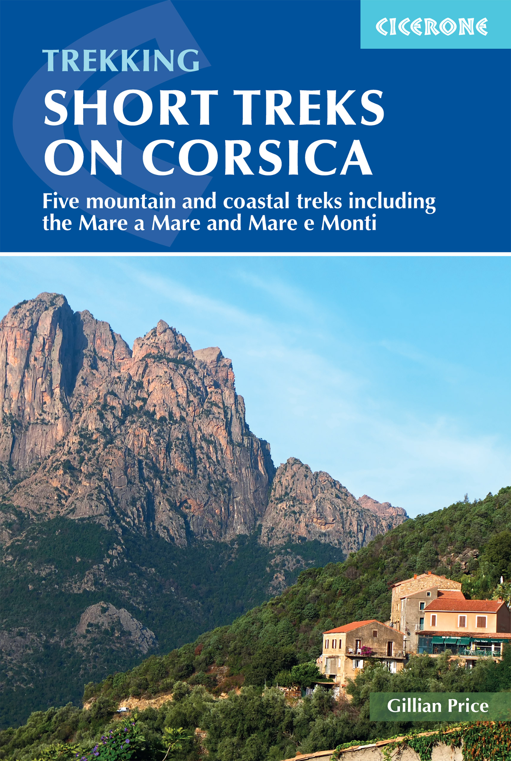
<p> Uitstekende wandelgids van dit geweldige gebied. goed beschreven met veel praktische informatie om de route te kunnen lopen, inclusief redelijke kaarten.</p> <p> With spectacular mountain landscapes, beautiful rugged coast, forests, maquis and striking river gorges, Corsica is a walker's paradise. This guidebook details five of the islands's most popular shorter treks: the 2-day coastal Sentier du Douanier (Customs Officer's Path) around Cap Corse; two coast-to-coast routes through the central mountains, the 11-day Mare a Mare Nord and the 5-day Mare a Mare Sud; and two 'coast and mountains' routes, the 10-day Mare e Monti and the 5-day Mare e Monti Sud. (Corsica's famous 190km GR20 trail is described in a separate Cicerone guide.) The routes can be linked to create longer excursions and accommodation is provided by a mixture of walkers' hostels, B&Bs and hotels; camping is also an option. The guide presents each of the waymarked trails in daily stages averaging around 12-13km per day, with route description, mapping and notes on accommodation options.</p> <p> There is advice on how to get to Corsica, when to go and what to take, plus accommodation listings, useful contacts and a French/Corsican-English glossary. The guide also offers a wealth of information about the island's rich plant and wildlife. Considerably easier than the challenging GR20, these trails offer a more accessible option for trekkers wishing to experience the 'real' Corsica, away from the bustling coastal resorts. You'll find enchanting scenery - towering forests, gushing cascades, turquoise coves, aromatic maquis, rugged mountains and quiet villages nestling on hillsides of chestnut woods - not to mention a favourable climate and delicious local cuisine. Don't be surprised if you fall under the island's spell!</p>
€23,95
Bekijk product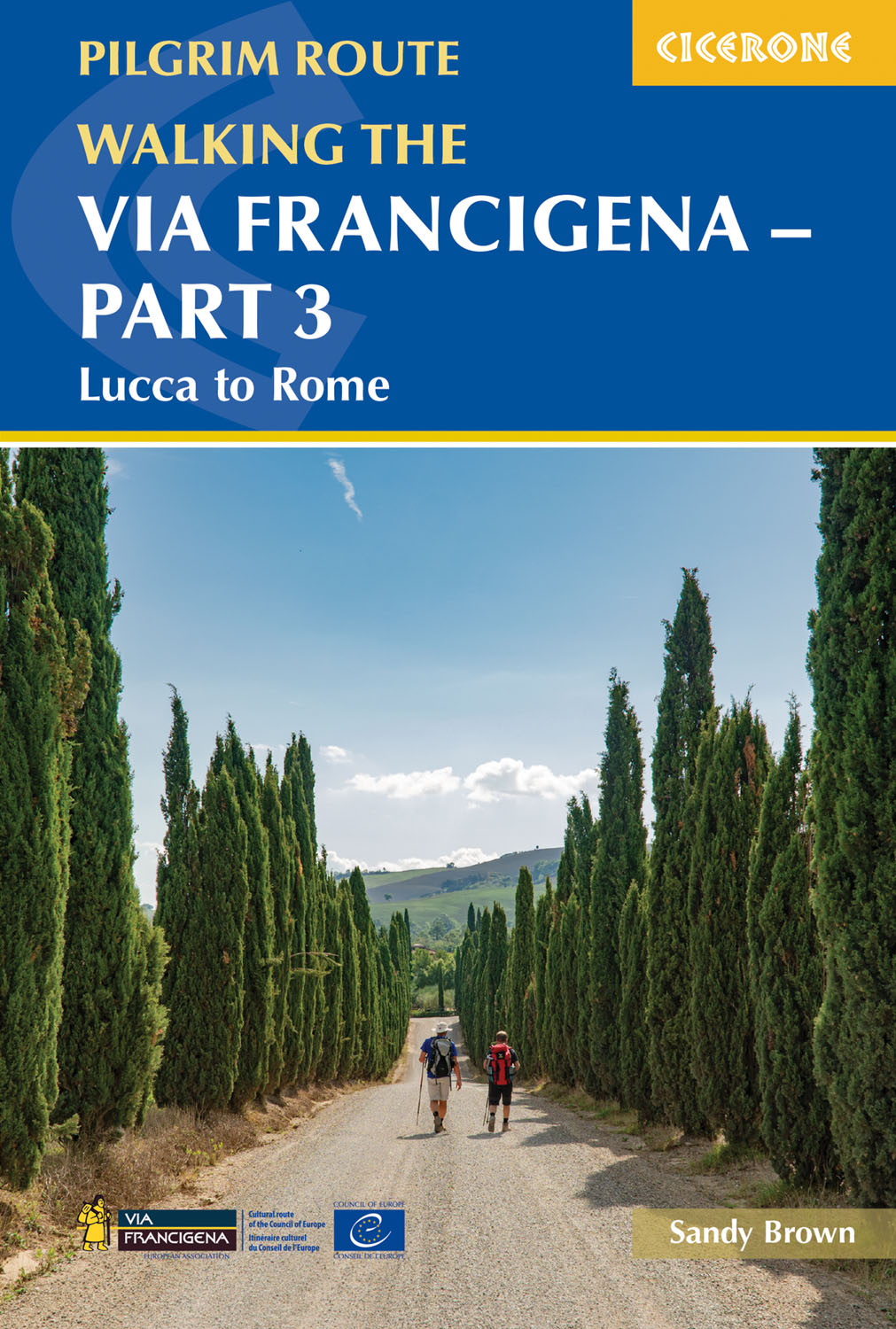
<p> Guidebook to the final 400km of the Via Francigena pilgrim route from Lucca to Rome. Crossing Tuscany in the heartland of Italy, the route goes through two of the region's most important cities, Lucca and Siena, and visits San Gimignano, Monteriggioni, and Radicofani. Described in 18 stages, with information on facilities and pilgrim hostels. Certified by the Council of Europe as an official Cultural Route, the Via Francigena from Canterbury to Rome brings to the modern pilgrim the cultural heritage of four nations--England, France, Switzerland, and Italy--and highlights their natural beauty and their history. Each stage has route directions and 1:100,000 mapping, which shows the route line and the facilities available at different locations. The book details accommodation along the route, including invaluable information on low-cost pilgrim hostels. There are city maps for Lucca, Siena, Rome, and Viterbi, and a stage planning guide that lists intermediate distances between pilgrim accommodation, allowing the reader to customise their walking schedule. The introduction contains a wealth of advice on planning and preparation and tips for making the most of the hike.</p> <div> Section 1: Tuscany</div> <div> Stage 1 Lucca to Altopascio</div> <div> Stage 2 Altopascio to San Miniato</div> <div> Stage 3 San Miniato to Gambassi Terme</div> <div> Stage 4 Gambassi Terme to San Gimignano</div> <div> Stage 5 San Gimignano to Monteriggioni</div> <div> Stage 6 Monteriggioni to Siena</div> <div> Stage 7 Siena to Ponte d’Arbia</div> <div> Stage 8 Ponte d’Arbia to San Quirico d’Orcia</div> <div> Stage 9 San Quirico d’Orcia to Radicofani</div> <div> Stage 10 Radicofani to Acquapendente</div> <div> </div> <div> Section 2: Lazio</div> <div> Stage 11 Acquapendente to Bolsena</div> <div> Stage 12 Bolsena to Montefiascone</div> <div> Stage 13 Montefiascone to Viterbo</div> <div> Stage 14/15 Cimino Variant: Viterbo to Sutri</div> <div> Stage 14 Viterbo to Vetralla</div> <div> Stage 15 Vetralla to Sutri</div> <div> Stage 16 Sutri to Campagnano di Roma</div> <div> Stage 17 Campagnano di Roma to La Storta</div> <div> Stage 18 La Storta to Vatican City</div>
€24,95
Bekijk product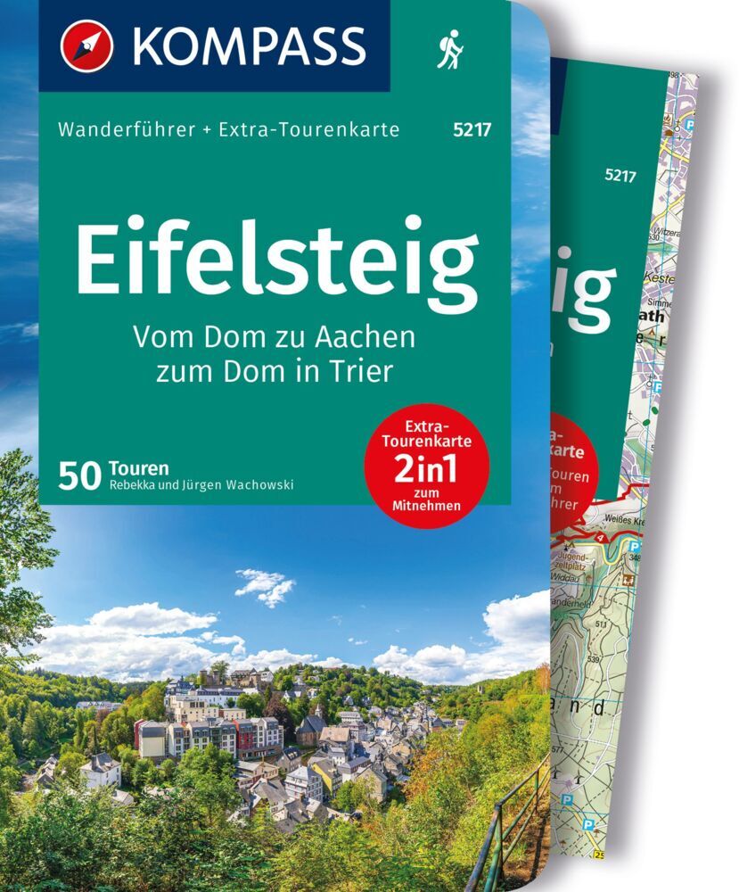
<p> Goede Duitstalige wandelgids van de Eifelsteig met heldere beschrijvingen van de wandeltochten. Met hoogteprofiel, kaartje en de benodigde praktische informatie als bijvoorbeeld de startlocatie met GPS coordinaten. De wandelingen zijn ingedeeld in zwaarte en dan op verschillende kleuren weergegeven. Beschreven worden eenvoudige wandelingen tot pittige (berg)tochten, voor getrainde en ongetrainde wandelaars, een aantal wandelingen zijn geschikt om met kinderen te doen. Belangrijke toevoeging bij de Kompass wandelgidsen is een bijgevoegde losse wandelkaart van het betreffende gebied waarop de wandelingen uit de gids op de kaart heel duidelijk zijn ingetekend. </p> <p> <strong>Van de uitgever</strong></p> <div> Die Vorteile des Wanderführers auf einen Blick:</div> <div> - Von KOMPASS-Experten erwanderte Touren</div> <div> - Jede Tour mit Höhenprofil und Kartenausschnitt</div> <div> - Ausflugs- und Übernachtungstipps</div> <div> - Kostenloser Download der GPX-Daten</div> <div> Die Vorteile der Extra-Tourenkarte auf einen Blick:</div> <div> - Unterstützt die Tourenauswahl</div> <div> - Kartografische Gesamtübersicht</div> <div> - Touren können einfach kombiniert werden</div> <div> - Ein Leichtgewicht zum Mitnehmen</div> <div> - Auch als Straßen- und Urlaubskarte verwendbar</div> <div> </div> <div> Die Eifel liegt zwischen Aachen (Nordrhein-Westfalen) und Trier (Rheinland-Pfalz), grenzt im Westen an Belgien und Luxemburg und verläuft im Osten bis nach Koblenz. Sie fällt im Nordosten entlang der Linie Aachen-Düren-Bonn zur Niederrheinischen Bucht ab. Im Osten und Süden wird sie vom Rhein- und Moseltal begrenzt. Westwärts geht sie in Belgien und Luxemburg in die geologisch verwandten Ardennen und das Luxemburger Ösling über. Sie berührt den Raum Eupen-Sankt Vith-Luxemburg. Die höchste Erhebung ist der Vulkankegel Hohe Acht mit 747 Metern.</div> <div> Touristisch ist die Eifel ein Gebiet mit vielen Highlights. Aachener und Trierer Dom, beides Weltkulturerben sprechen für sich, fantastische Bauwerke, die in ihrer Geschichte viel erlebt haben.</div> <div> Wo Fels und Wasser dich begleiten", ein Slogan, den man in dieser Region ausleben kann. Mal staunend über die Städte wie Monschau oder Trier mit ihren Felsvorsprüngen für herrliche Ausblicke, die Abwechslung beim Wandern mit dem Stadtwald Aachen im Norden, den "Augen der Eifel", die Maare, die fantastischen Fernsichten und das Plätschern der vielen</div> <div> Flüsse, Bäche und Stauseen - Relaxen und Entspannen - kein Prolem!</div>
€18,50
Bekijk product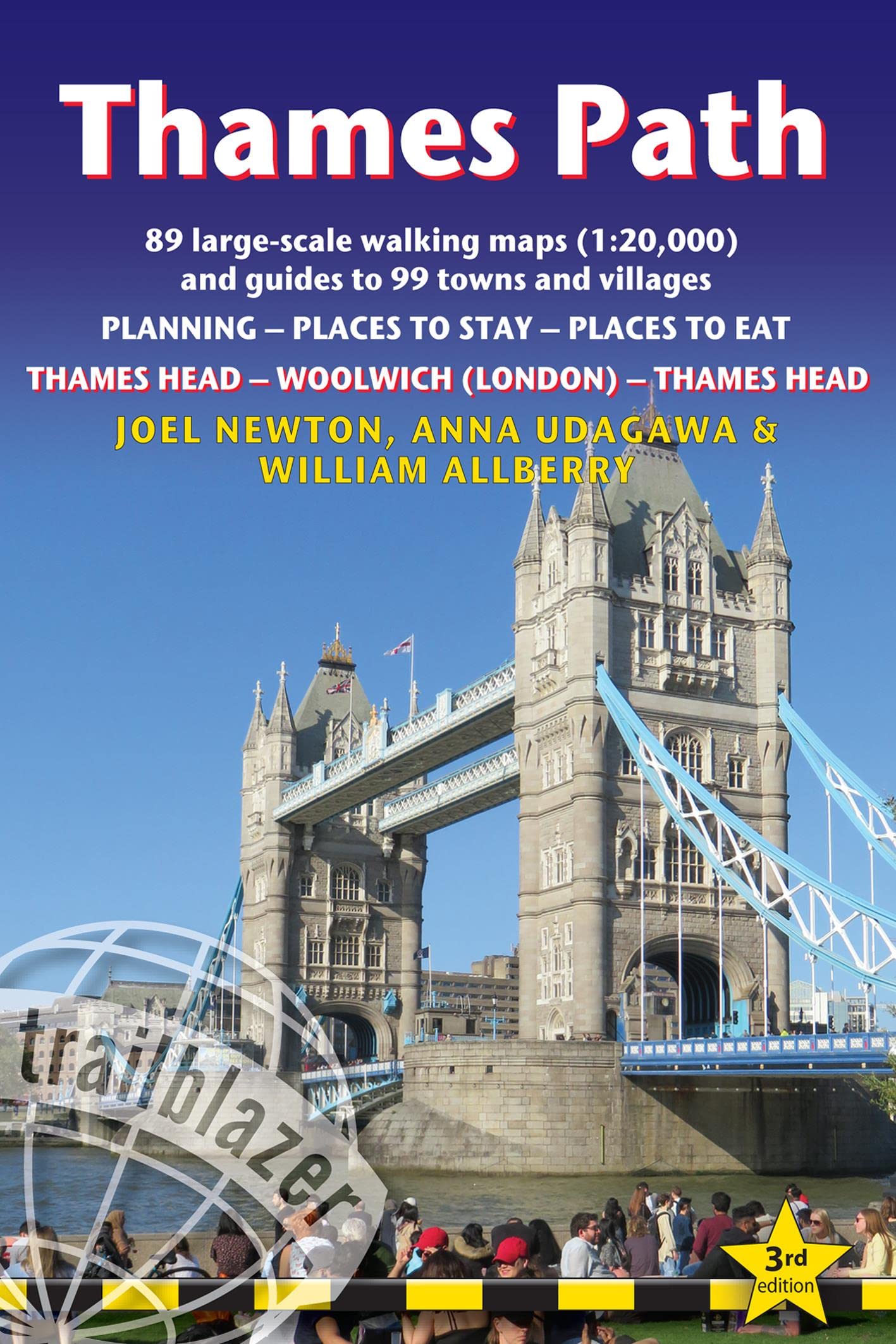
<p> This book follows the Thames Path National Trail from the river's source in Gloucestershire to the Thames Barrier in London. Officially 184 miles (294km) in length (although the actual distance you walk will depend on a number of decisions you make en route), the path meanders, accompanied by its watery muse, through pristine and tranquil countryside, past historic sites and buildings, via pub, lock, weir, and the occasional scattering of waterfowl, to a city, once the fulcrum of an empire, and now the heart of modern day England. The river, responsible for the metropolis' very being, tells tales, inspires artists, accommodates swans, geese, and water voles, reflects the silhouettes of red kites and kingfishers, provides employment, entices adventure, and allows time for carefree pilgrims to procrastinate and think.</p> <p> Following its banks is a grand way to go for a ramble. The path begins, as the river does, in a meadow in the Cotswolds; its upper reaches lonely and wild, the meadows and banks the domain of waterfowl and willows; a collage of wild flowers, otters, fishermen and farmers. As the waters deepen and spread the settlements along its banks gradually begin to grow in both size and grandeur, and reaching Oxford, the solitude of the river slowly subsides and the trail becomes as much about historic towns, churches, abbeys and castles as it does the river. Lechlade, Abingdon, Wallingford, Henley ... they all owe their location to the Thames, and different eras, when the river was a life source, a place of conflict, a boundary, a mode of transport and the provider of leisure, which, thankfully--for us, at least--it remains to this day. Squeezing through the ancient Goring Gap, loomed over by the Chiltern Hills, you pass Runnymede--the site of the signing of Magna Carta--and Windsor Castle; where the aeroplanes overhead hint at the ominous size of the city to come. Walking in London is not as blighted by sound, fury and concrete as many may imagine, as the river--and especially the route along the south bank in London--remains relatively countrified, at least as far as Putney, from which the approaching sights of Westminster and Tower Bridge offer comparably fine vistas to anywhere along the Thames' green and scenic upper reaches. Leaving central London, the regenerated dockland areas of East London (ideas of what constitutes 'wild' in the modern world are of course open to debate) lure you to your journey's end and the conclusion of a most enjoyable and magnificently-varied riparian ramble, quite like no other in Britain. Yet the Thames Path is more than just a trek, more than a long walk, more than just a national trail; the river acts as a postgraduate course in the history of a nation, a counselor to the modern world, a reminder of the importance of protecting the natural habitats which gave us what we have....</p> <p> But most importantly--at least, for those wishing to spend some time in the river's company, and indeed planning on doing so with the help of this book--the Thames Path is a fluvial escapade of the finest kind. - Includes 90 walking maps--the largest-scale maps available. At a scale of just under 1:20,000 (8cm or 3-1/8 inches to one mile) these are bigger than the most detailed walking maps currently available in the shops.- Unique mapping features--walking times, directions, tricky junctions, places to stay and eat, points of interest. These are not general-purpose maps but fully-edited maps drawn by walkers for walkers.- Itineraries for all walkers--whether hiking the 184-mile route in its entirety or sampling the highlights on day walks or short breaks. - Includes detailed public transport information for all access points.- Practical information for all budgets--what to see, where to stay, where to eat: pubs, hotels, B&B, camping, bunkhouses, hostels.- GPS waypoints. These are also downloadable from the Trailblazer website.- Plus--extra color sections: 16pp color introduction and 16pp of color mapping for stage sections (one stage per page) with trail profiles.</p>
€19,95
Bekijk product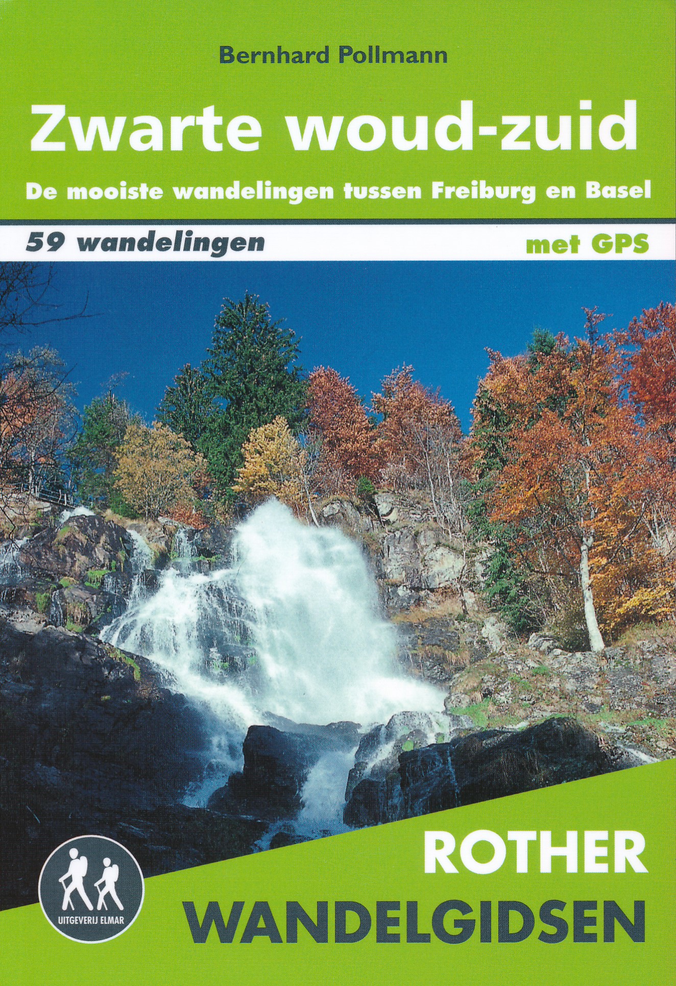
<p> Deze wandelgids is een vertaling van de oorspronkelijke duitse versie. Het zijn klassiekers onder de wandelgidsen. Uitstekende wandelgids met een groot aantal dagtochten in dal en hooggebergte. Met praktische informatie en beperkt kaartmateriaal! Wandelingen in verschillende zwaarte weergegeven in rood/blauw/zwart.</p> <p> De Rother Wandelgids Zwarte woud-zuid bevat 59 wandelingen tussen Freiburg, Basel en Waldshut. Met de wandelroutes Westweg en Schluchtensteig. De gids bevat wandelingen voor zowel de beginnende als de ervaren wandelaar. Alle wandelingen zijn voorzien van betrouwbare routebeschrijvingen, gedetailleerde kaarten en hoogteprofielen. Met gratis downloadbare GPS Tracks.</p> <div> Let op: er is enige verwarring omtrent het jaartal van deze Nederlandse wandelgidsen van uitgever Elmar. Dit is een vertaling van de Duitse uitgever Rother maar daarna NIET bijgewerkt. De datum die wij vermelden is het moment van vertaling; er zijn andere – meer recente jaartallen – in omloop maar dat is de datum van een nieuwe druk ZONDER aanpassingen. Wilt u de meest recente wandelgids van dit gebied van deze uitgever: kies dan de Duitstalige versie van uitgever Rother. Deze zijn recent en WEL bijgewerkt. </div> <div> </div> <p> </p>
€18,99
Bekijk product