
Beantwoord enkele vragen, en binnen seconden geeft AI je een persoonlijk aankoopadvies op maat.
Beantwoord enkele vragen, en binnen seconden geeft AI je een persoonlijk aankoopadvies op maat.
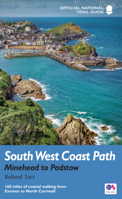
<p> Goede beschrijving van een deel van het beroemde South West Coast path in Cornwall. Men heeft gebruik gemaakt van zeer gedetailleerde kaarten van Ordnance Survey.</p> <p> Part one of the official four-part series covering Britain's longest National Trail in detail. Contains easy to follow Ordnance Survey mapping for individual sections, detailed route descriptions for the National Trail and shorter, circular walks off it. Full colour throughout.</p> <p> The South West Coast Path is the spectacular 630-mile (1008-km) National Trail around the tip of Britain. This volume features the section of the Path from Minehead to Padstow, a distance of 163 miles (262 km). The Trail traces the beautiful coastline, through Exmoor National Park, Clovelly and Tintagel, following Natural England's acorn waymarks. This is the complete, official guide for the long distance walker or the weekend stroller. All you need is this one book. National Trail Guides are the official guidebooks to the fifteen National Trails in England and Wales and are published in association with Natural England, the official body charged with developing and maintaining the Trails.</p>
€20,95
Bekijk product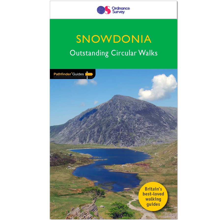
<p> Wandelgids van een deel van Wales. Deze gids bevat 28 dagwandelingen, variërend van korte tochten tot pittige dagtochten. De bijbehorende kaarten zijn uitstekend: men heeft de topografische kaarten van Ordnance Survey gebruikt waarop de route is ingetekend. Daarnaast praktische informatie over de wandeling en wat beschrijvingen van het gebied.</p> <p> Each of the Jarrold Pathfinder titles features 28 circular routes, all tried and tested by seasoned walkers. The routes range from extended strolls to exhilarating hikes, so there is something for everyone.</p> <p> They also contain:</p> <p> -Ordnance Survey mapping;<br /> -background details of each area;<br /> -details of refreshment stops and parking;<br /> -walking safety advice; and<br /> -information about walkers and the law</p> <p> </p>
€18,50
Bekijk product
<p> Wandelgids van een deel van Wales. Deze gids bevat 28 dagwandelingen, variërend van korte tochten tot pittige dagtochten. De bijbehorende kaarten zijn uitstekend: men heeft de topografische kaarten van Ordnance Survey gebruikt waarop de route is ingetekend. Daarnaast praktische informatie over de wandeling en wat beschrijvingen van het gebied.</p> <p> Each of the Pathfinder titles features 28 circular routes, all tried and tested by seasoned walkers. The routes range from extended strolls to exhilarating hikes, so there is something for everyone.</p> <p> They also contain:</p> <p> -Ordnance Survey mapping;<br /> -background details of each area;<br /> -details of refreshment stops and parking;<br /> -walking safety advice; and<br /> -information about walkers and the law</p> <p> Although deep in South Wales, Pembrokeshire and Carmarthenshire have a strong English influence, but their most striking feature, from the point of view of the walker, is that they contain some of the most spectacular coastal scenery and finest stretches of coast path in Britain. Although the walks in this guide inevitably concentrate on the coast, especially using the Pembrokeshire Coast Path, their characters vary considerably, ranging from the splendid cliff scenery around the peninsula of Dinas Island and to the west of Port-Eynon Bay, to the wooded stretches between Saundersfoot and Tenby.</p>
€18,50
Bekijk product
<p> Engelstalige beschrijving van de mooiste wandeltocht op Corsica. De gids voldoet aan alle verwachtingen die je kunt hebben. Wel heb je voor de zwaardere gedeelte voor de zekerheid goede kaarten nodig ......</p> <p> The GR20, on the mountainous Mediterranean island of Corsica, is reputated to be the toughest waymarked trail in Europe. This ambitious route for fit and agile walker covers 190km as it makes a complete traverse through the island's high mountains. It can be completed in about two weeks, and calls for backpacking the whole way, sometimes with hands-on scrambling along the way. Facilities are limited to a dozen mountain refuges and a mere handful of hotels or gîtes.</p> <p> The ‘classic’ route is described in the guide, along with high and low-level alternatives, plus extra mountain climbs.</p> <p> This guide explains exactly what is involved in following the GR20, including what walkers need to carry. In the past, many have carried too much, or carried the wrong things, or simply had no idea how difficult the route is in places, but this guide reveals everything you need to know. Detailed route descriptions and stunning photographs leave walkers in no doubt as to what is required of them to walk this exceptionally beautiful, dramatic and rugged route.</p>
€24,95
Bekijk product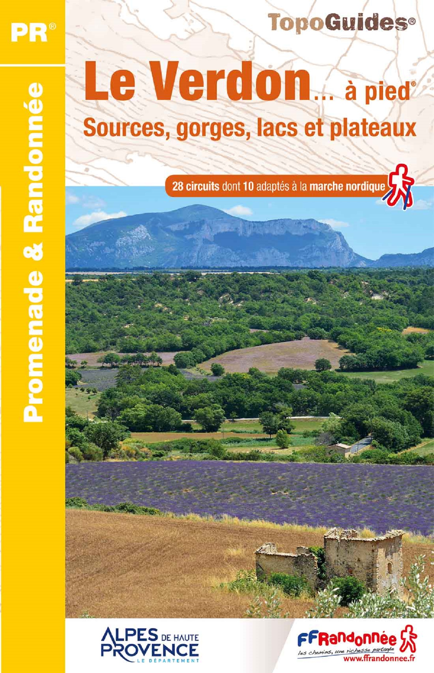
<p> Franstalige wandelgids met een beschrijving van een aantal dagtochten. Uitstekende beschrijvingen met duidelijk kaartmateriaal. Mislopen is nauwelijks mogelijk, maar ja .. de franse taal! Ook praktische informatie staat in deze gids. Alle gidsen bevatten een door ons toegevoegde uitgebreide frans - nederlandse wandelwoordenlijst.</p> <p> "Le Verdon s'étire d'est en ouest entre Var et Alpes-de-Haute-Provence. Il traverse une vaste zone de moyenne montagne jalonnée d'agglomérations perchées sur les reliefs ou installées au cour du plateau de Valensole. Longer la rivière, c'est découvrir des paysages rares : escarpements enrésinés, eaux vertes des lacs de barrages, chaos rocheux, falaises et canyons vertigineux, sérénité des collines, oliviers et lavandes à perte de vue. C'est marcher au paradis de la randonnée. les marcheurs sportifs et entraînés apprécieront le célèbre sentier Martel, qui descend au fond du Grand Canyon. Les familles aimeront flâner dans les ruelles et autours des antiques cités de Castellane, Riez et Moustiers-Ste-Marie."</p>
€16,50
Bekijk product
<p> Engelstalige beschrijving van een van de mooiste wandeltochten in Engeland: een stuk boordevol cultuur en geschiedenis!. De gids voldoet aan alle verwachtingen die je kunt hebben. Met apart gidjes met prima wandelkaarten. </p> <div> <div> A guidebook to walking the Thames Path, a 182-mile National Trail from the Woolwich Foot Tunnel in London to the river's source in near Cirencester, passing from central London through Windsor, Henley, and Oxford, and rural countryside. Described in 20 sections, of between 4 and 16 miles (6.5-32km), it is an mainly flat route with good access by public transport and typically takes two weeks to walk. On its way it passes historic sites such as Greenwich, Kew Gardens, Hampton Court, Runnymede, Windsor Castle and Oxford.</div> <div> </div> <div> This guidebook features complete OS 1:50,000 scale mapping of the route and comprehensive information about accommodation, facilities, refreshments and transport links for each stage of the route. It is crammed with fascinating details about the places and features passed along the way. A separate pocket-sized map booklet is also included showing the full route on 1:25,000 scale OS maps, providing all the mapping needed to complete the trail.</div> <div> </div> <div> The Thames Path is an easy riverside walk that discovers the constantly changing character of the River Thames.</div> </div> <p> </p>
€24,95
Bekijk product
<p> Franstalige wandelgids met een beschrijving van een aantal dagtochten. Uitstekende beschrijvingen met duidelijk kaartmateriaal. Mislopen is nauwelijks mogelijk, maar ja .. de franse taal! Ook praktische informatie staat in deze gids. Alle gidsen bevatten een door ons toegevoegde uitgebreide frans - nederlandse wandelwoordenlijst.</p> <div> Aux environs de Carpentras, les beautés du Ventoux se dévoilent. </div> <div> </div> <div> Détaché des Alpes, le mont Ventoux dresse sa solitude au nord de la Provence. Ce "mont Chauve", parfois casqué de nuages et encerclé par la lumière, revêt un manteau forestier bigarré bordé de vignobles renommés ; il offre une mosaïque de climats et de paysages, à l'image de ses quatre faces très dissemblables.</div> <div> </div> <div> De l'abrupt versant nord au doux versant sud, il faut pénétrer en son sein par les crêtes, combes et valats pour découvrir un patrimoine rural préservé et une grande diversité d'espèces végétales et animales. Du sommet (1 910 mètres d'altitude), s'ouvre un panorama à couper le souffle.</div> <div> </div> <p> </p>
€18,50
Bekijk product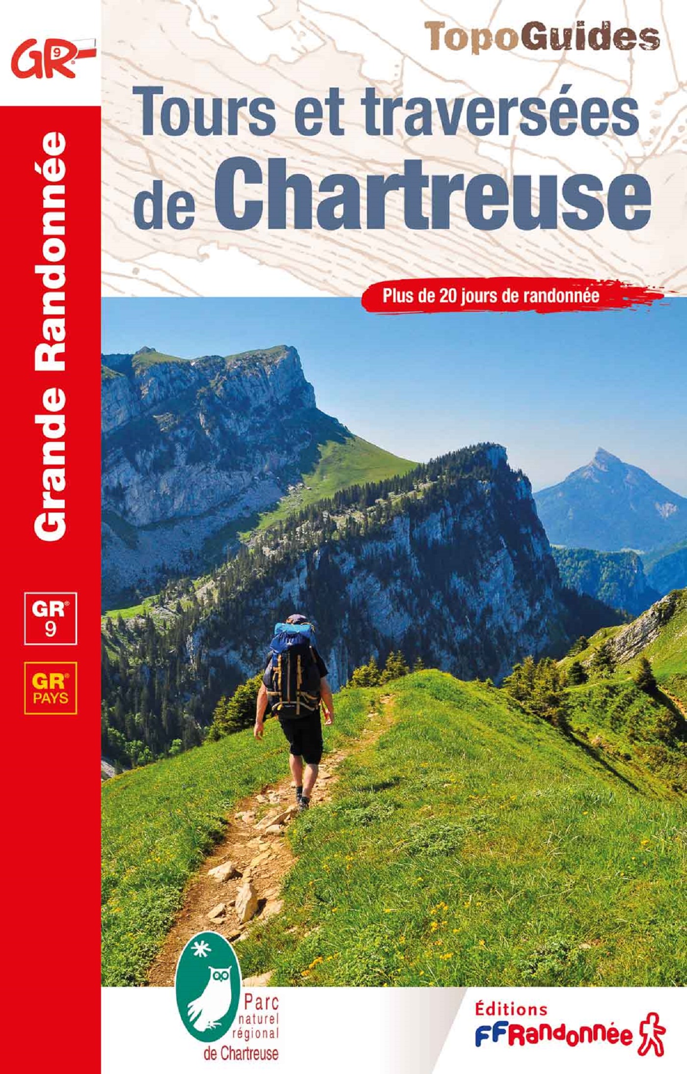
<p> Uitstekende routegids met gedetailleerde kaarten en een routebeschrijving. Fout lopen wordt op deze manier wel erg moeilijk. Met symbolen is weergegeven welke voorzieningen (openbaar vervoer / winkels / overnachtingen) er zijn langs of bij de route. Een nadeel is dat de daadwerkelijke adressen dan weer niet genoemd worden. route, zie kaartje. Alle gidsen bevatten een door ons toegevoegde uitgebreide frans - nederlandse wandelwoordenlijst.</p> <p> Gageons que ces sentiments vous puissiez les ressentir, au fil des pas et des étapes, sur les itinéraires décrits dans ce topo-guide, vous permettant ainsi de découvrir dans les meilleures conditions possibles les nombreux contrastes du massif de Chartreuse.</p> <p> </p>
€19,95
Bekijk product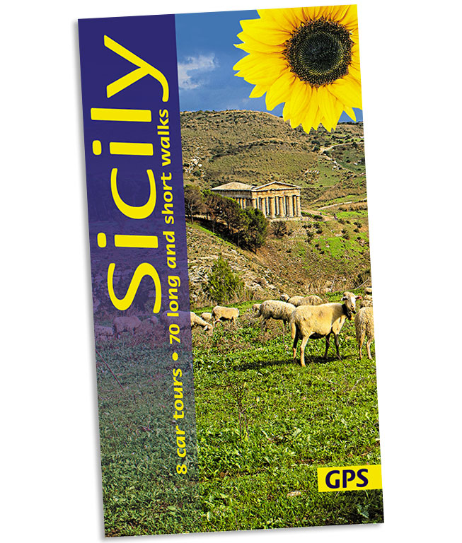
<p> Wandelgids: vele dagtochten worden degelijk beschreven met openbaar vervoer informatie, goede routebeschrijvingen en kaartmateriaal. Tevens enkele autotochten. (Engelstalig)</p> <p> Sicily, the largest island in the Mediterranean and long a Mecca for culture freaks, also rewards the countryside lover with its magnificent landscapes. Peter Amann knows the island intimately; he leads walking groups on Sicily and works for the preservation of its monuments. There is enough material in this book for several holidays. For those touring Sicily by car, the eight car tours (mostly circular and covering 2000 km) follow little-used secondary roads wherever possible. If you’re walking in Sicily, the routes are as varied in length and grade as the landscape itself — a distillation of the best on the island.</p> <div> The best months for walking in Sicily are March to June and September to November.</div> <div> </div> <div> Area covered: the entire island except for the far southwest corner.</div>
€21,95
Bekijk product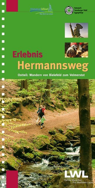
<p> Zeer goede wandelgids met een prima beschrijving, zeer duidelijke kaarten en veel informatie. Bovendien in een ringband, dus uitermate handig in gebruik! Route van Bielefeld naar Horn - Bad Meinberg</p> <p> Östlicher Teil des zweibändigen Wanderführers "Erlebnis Hermannsweg" - Der Hermannsweg im Teutoburger Wald gilt als einer der schönsten Kammwanderwege der deutschen Mittelgebirge! Als Ergänzung zu seinem erfolgreichen Schwesterband "Erlebnis Hermannsweg - Westlicher Teil: Wandern von Rheine bis Bielefeld" stellt dieser Wanderführer die knapp 50 km Hermannsweg zwischen Bielefeld und Horn-Bad Meinberg vor. Von der Sparrenburg über die Bergstadt Oerlinghausen, das Hermannsdenkmal und die Externsteine führt die aussichts- und geschichtsreiche Wanderung bis zum Endpunkt in Leopoldstal am Fuß des Velmerstot. Die Gesamtstrecke hat Autor Horst Gebaulet (LWL-Denkmalpflege, Landschafts- und Baukultur in Westfalen) wieder in 10 praktische Wanderetappen eingeteilt. Zahlreiche Tipps und Exkurse vertiefen den Text, rund 140 Fotos und Grafiken illustrieren ihn. Besonders praktisch sind die auf 9 Doppelseiten beigefügten Karten mit Reliefdarstellung im Maßstab 1:25000, die den Verlauf des Weges, Rückwanderrouten, Erlebnisschwerpunkte, Parkplätze, Nahverkehrshaltepunkte und Gastronomie am Wege darstellen.</p>
€16,50
Bekijk product