
Beantwoord enkele vragen, en binnen seconden geeft AI je een persoonlijk aankoopadvies op maat.
Beantwoord enkele vragen, en binnen seconden geeft AI je een persoonlijk aankoopadvies op maat.
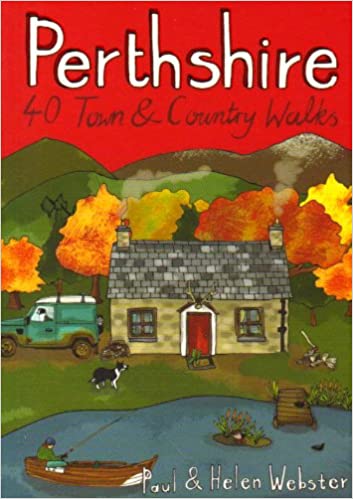
<div> <div> Handige compacte wandelgids met 40 dagwandelingen. Deze gids bevat kleine kaartjes en leuke uitgebreide informatie over wat er langs de route te zien is. Goede wandelkaarten zijn echter we noodzakelijk voor deze tochten: de Ordnance Survey explorer maps of Landanger maps zijn zeer geschikt.</div> <div> </div> </div> <div> </div> <div> Perthshire is at the very heart of Scotland and one of the most popular regions for visitors, offering a variety of Highland and Lowland landscapes with some of the most scenic and accessible countryside for shorter walks as well as evidence of its rich history at every turn. "Perthshire 40 Town and Country Walks" features traditional tourist hubs, such as Pitlochry, Dunkeld and Killin (with its historical connections to the county), as well as countryside around Blairgowrie, Crieff and Aberfeldy, finishing up at the Fair City of Perth and nearby Kinross.</div> <div> </div>
€10,95
Bekijk product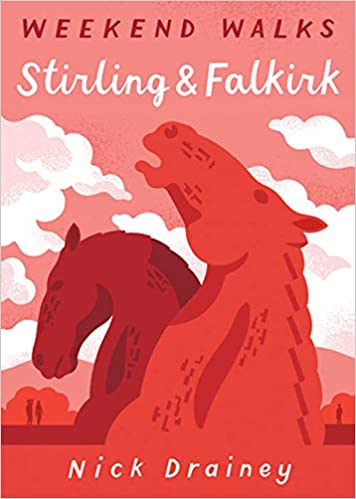
<div> <div> Handige compacte wandelgids met 40 dagwandelingen. Deze gids bevat kleine kaartjes en leuke uitgebreide informatie over wat er langs de route te zien is. Goede wandelkaarten zijn echter we noodzakelijk voor deze tochten: de Ordnance Survey explorer maps of Landanger maps zijn zeer geschikt.</div> <div> </div> </div> <div> </div> <div> Between Edinurgh and Glasgow is an area resonant in romance, history and invention. The moors above Stirling and the carseland surrounding its magnificent castle set the scene for a number of landmark battles, while Falkirk played a leading role in Scotland's Industrial Revolution and is today the home of some of the country's most innovative and popular attractions. These 25 walks explore the picturesque places round Stirling and Falkirk, from the windswept drama of bare hills to the tranquill setting of canals, lochs, reservoirs and riversides.</div> <div> </div>
€10,95
Bekijk product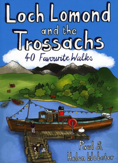
<div> <div> Handige compacte wandelgids met 40 dagwandelingen. Deze gids bevat kleine kaartjes en leuke uitgebreide informatie over wat er langs de route te zien is. Goede wandelkaarten zijn echter we noodzakelijk voor deze tochten: de Ordnance Survey explorer maps of Landanger maps zijn zeer geschikt.</div> <div> </div> </div> <div> </div> <div> The new Loch Lomond National Park has ensured protection for what is not only Britain's largest freshwater lake, but one of its most beautiful, celebrated in ballad and song. West of Loch Lomond are the steep Arrochar Alps towering above Loch Long together with scores of much less visited lower hills stretching down to the seaboard. To the east is the Trossachs - a delightful landscape of forests, lochs and hills that has long been known as Scotland in miniature.</div> <div> </div> <div> This latest pocket guide features 40 of the best walks in this popular area in an attractive and accessible format.</div>
€10,95
Bekijk product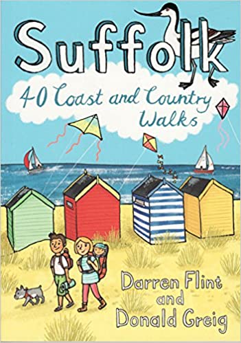
<div> <div> Handige compacte wandelgids met 40 dagwandelingen. Deze gids bevat kleine kaartjes en leuke uitgebreide informatie over wat er langs de route te zien is. Goede wandelkaarten zijn echter we noodzakelijk voor deze tochten: de Ordnance Survey explorer maps of Landanger maps zijn zeer geschikt.</div> <div> </div> </div> <div> </div> <div> Suffolk has long been a place of retreat, somewhere to escape to, far from everyday life. It may have its busier town centres, but in the main Suffolk remains a rural area of enormous variety , from heather covered heathland to softly rolling hills, long shingle spits to genteel coastal enclaves and kiss-me-quick seaside resorts. Whether you are looking for a morning hike or an afternoon stroll, Darren Flint and Donald Grieg's hand picked selection of 40 walks is guaranteed to fit the bill - or the boot.</div> <div> </div> <div> Suffolk boasts 5,600km of public rights of way; take your pick, put your best foot forward and discover this most gentle of English counties.</div>
€10,95
Bekijk product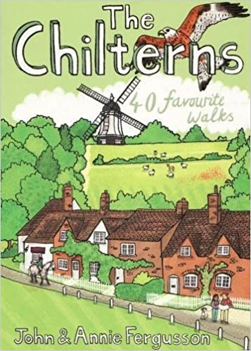
<div> <div> Handige compacte wandelgids met 40 dagwandelingen. Deze gids bevat kleine kaartjes en leuke uitgebreide informatie over wat er langs de route te zien is. Goede wandelkaarten zijn echter we noodzakelijk voor deze tochten: de Ordnance Survey explorer maps of Landanger maps zijn zeer geschikt.</div> <div> </div> </div> <div> </div> <div> With some of the most picturesque countryside in England, yet only a short hop from London, the Chiltern Hills are just waiting to be explored. The glorious views from high ridges, ancient woodlands brimming with wildlife and downs alive with wild flowers and butterflies make the Chilterns and the communities within them English to the core. The vast network of well-established paths provides a wonderful walking country with history and nature keeping you company at every step.</div> <div> </div> <div> If you are planning to get away from it all in the Chilterns, this collection of 40 moderate walks is your perfect guide.</div>
€10,95
Bekijk product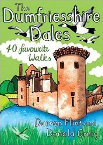
<div> <div> Handige compacte wandelgids met 40 dagwandelingen. Deze gids bevat kleine kaartjes en leuke uitgebreide informatie over wat er langs de route te zien is. Goede wandelkaarten zijn echter we noodzakelijk voor deze tochten: de Ordnance Survey explorer maps of Landanger maps zijn zeer geschikt.</div> <div> </div> </div> <div> </div> <div> The three Dumfriesshire dales of Nithsdale, Annandale and Eskdale are a rural playground of heatherclad hills, linns with tumbling waterfalls, babbling rivers and evershifting merse and firth. Despite being bisected by the main road into England, these dales were known more intimately by the discerning Victorians than they are today. Time, then, to rediscover the charms of this peaceful corner of Scotland.</div> <div> </div> <div> Whether it's a morning exploring the country's highest village, an afternoon paddling the shores of the Solway or an evening gazing at star-filled skies, Darren Flint and Donald Greig;'s hand-picked selection of 40 walks reveals what it is that makes this unassuming part of of the world so special.</div>
€10,95
Bekijk product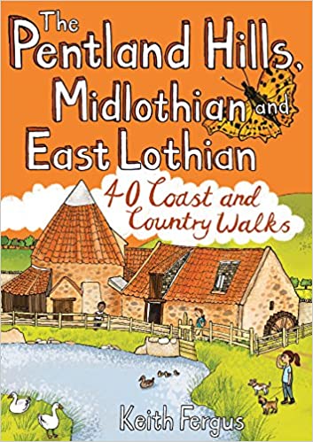
<div> <div> Handige compacte wandelgids met 40 dagwandelingen. Deze gids bevat kleine kaartjes en leuke uitgebreide informatie over wat er langs de route te zien is. Goede wandelkaarten zijn echter we noodzakelijk voor deze tochten: de Ordnance Survey explorer maps of Landanger maps zijn zeer geschikt.</div> <div> </div> </div> <div> </div> <div> Think of East Lothian and Midlothian and a low-lying, predominantly rural landscape may well spring to mind, yet the Pentland Hills, just south of Edinburgh, rise to nearly 600m in height and provide some of the finest hillwalking in Scotland with wonderful views from the summits. To the east, the Lammermuir Hills may not have quite the same appeal as their near neighbours but they still offer superb hillwalking options, while North Berwick Law, Traprain Law and the Garleton Hills make up for what they lack in height with a succession of incredible panoramas. Away from the high ground there a lovely pockets of woodland, wildlife-rich country parks, fascinating historic sites and forty miles of coastline between Musselburgh and Dunbar with some of the best dune-backed beaches in the country to enjoy.</div> <div> </div>
€10,95
Bekijk product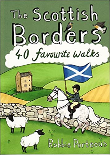
<div> Handige compacte wandelgids met 40 dagwandelingen. Deze gids bevat kleine kaartjes en leuke uitgebreide informatie over wat er langs de route te zien is. Goede wandelkaarten zijn echter we noodzakelijk voor deze tochten: de Ordnance Survey explorer maps of Landanger maps zijn zeer geschikt.</div> <div> </div> <div> The Scottish Borders cover a vast area, stretching from the east coast to rural Dumfriesshire and from the more populous Lothians to the border with England. Although there are no very high mountains, the Borders have always attracted walkers keen to explore the quiet moorlands, rolling hills, ancient woodland and rugged coast, as well as the romantic ruins of abbeys and castles, grand estates and rich literary heritage of the area.Ancient native tribes and Roman legions left their mark on this landscape, as did years of fierce warfare with our southern neighbours and raiding by ruthless Border Reivers. These 40 walks will introduce you to some of the fascinating history which shaped this most intriguing, as well as beautiful region.</div> <div> </div>
€10,95
Bekijk product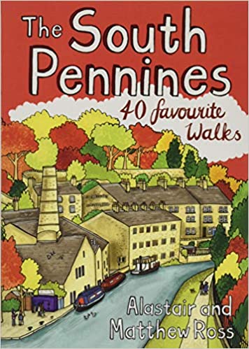
<div> <div> Handige compacte wandelgids met 40 dagwandelingen. Deze gids bevat kleine kaartjes en leuke uitgebreide informatie over wat er langs de route te zien is. Goede wandelkaarten zijn echter we noodzakelijk voor deze tochten: de Ordnance Survey explorer maps of Landanger maps zijn zeer geschikt.</div> <div> </div> </div> <div> </div> <div> The home of Heathcliffe and Nora Batty, the wild and wuthering South Pennines is where Yorkshire and Lancashire collide, a watershed landscape of great natural beauty which is home to proud and welcoming communities with a heritage of rugged farming and industrial hard graft. This collection of forty walks explores the steep-sided valleys, heather moorlands, craggy hills and gritsone villages which have inspired and attracted writers and artists for generations to this unspoilt upland haven just a stone's throw from some of northern England's largest towns and cities.</div> <div> </div>
€10,95
Bekijk product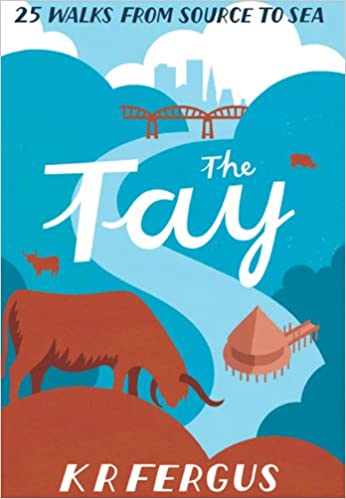
<div> <div> Handige compacte wandelgids met 40 dagwandelingen. Deze gids bevat kleine kaartjes en leuke uitgebreide informatie over wat er langs de route te zien is. Goede wandelkaarten zijn echter we noodzakelijk voor deze tochten: de Ordnance Survey explorer maps of Landanger maps zijn zeer geschikt.</div> <div> </div> </div> <div> </div> <div> As well as being Scotland's longest river, the Tay also carries the largest volume of water of any river in the UK more than the Thames and Severn combined when it reaches the Firth of Tay. From its source high up the slopes of Ben Lui near Tyndrum, the Tay makes its way through Stirlingshire and Perthshire to meet the North Sea near Dundee. As one of the best salmon rivers in Europe, every year it lures anglers from around the world and countless more come to explore the glorious hills and glens it passes.</div> <div> </div> <div> There is no better way to discover the wildlife, architecture and history of this area of Scotland than to walk. Whatever your ability walking at high or low level, following tough terrain or level paths the 25 routes in this guide offer something for everyone.</div>
€10,95
Bekijk product