
Beantwoord enkele vragen, en binnen seconden geeft AI je een persoonlijk aankoopadvies op maat.
Beantwoord enkele vragen, en binnen seconden geeft AI je een persoonlijk aankoopadvies op maat.
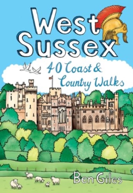
<div> From the city of Chichester with its ancient walls and harbour inlets standing sentinel over the English Channel to the northern heights of Black Down on its ridge of greensand above the intervening folds, farms and villages of the western Weald, from the bustling towns of Crawley and Horsham in the lee of the chalk slopes of the South Downs to the traditional seaside resorts of Littlehampton and Worthing, the 40 circular walks in this guide offer plenty of scope to explore West Sussex’s famed downs, woods, heaths and nature reserves, along with its villages, stately homes and country estates.</div> <div> </div>
€10,95
Bekijk product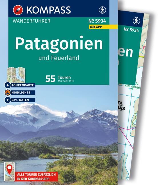
<p> Goede Duitstalige wandelgids met heldere beschrijvingen van de wandeltochten. Met hoogteprofiel, kaartje en de benodigde praktische informatie als bijvoorbeeld de startlocatie met GPS coordinaten. De wandelingen zijn ingedeeld in zwaarte en dan op verschillende kleuren weergegeven. Beschreven worden eenvoudige wandelingen tot pittige (berg)tochten, voor getrainde en ongetrainde wandelaars, een aantal wandelingen zijn geschikt om met kinderen te doen. </p> <p> </p> <p> </p>
€21,96
Bekijk product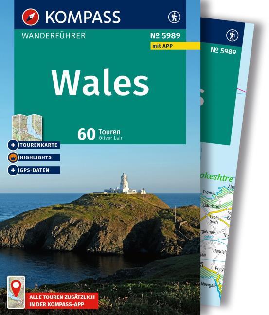
<p> Goede Duitstalige wandelgids met heldere beschrijvingen van de wandeltochten. Met hoogteprofiel, kaartje en de benodigde praktische informatie als bijvoorbeeld de startlocatie met GPS coordinaten. De wandelingen zijn ingedeeld in zwaarte en dan op verschillende kleuren weergegeven. Beschreven worden eenvoudige wandelingen tot pittige (berg)tochten, voor getrainde en ongetrainde wandelaars, een aantal wandelingen zijn geschikt om met kinderen te doen. </p>
€19,49
Bekijk product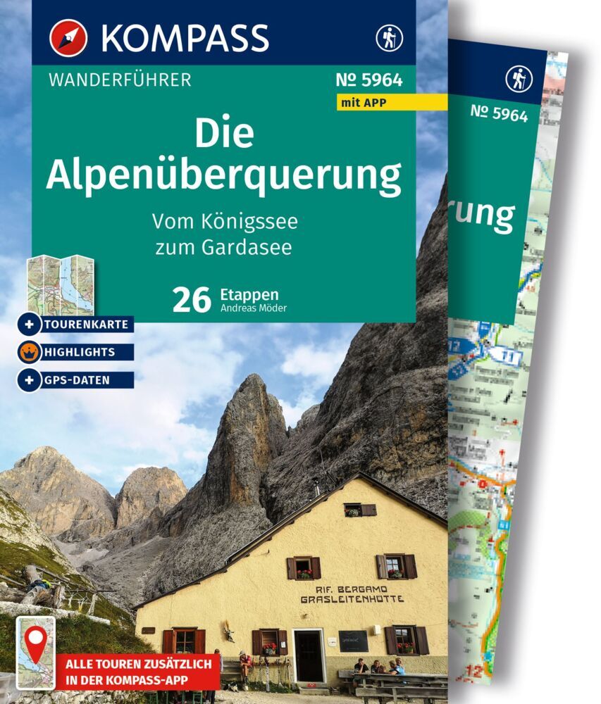
<p> Goede Duitstalige wandelgids met heldere beschrijvingen van de wandeltochten. Met hoogteprofiel, kaartje en de benodigde praktische informatie als bijvoorbeeld de startlocatie met GPS coordinaten. De wandelingen zijn ingedeeld in zwaarte en dan op verschillende kleuren weergegeven. Beschreven worden eenvoudige wandelingen tot pittige (berg)tochten, voor getrainde en ongetrainde wandelaars, een aantal wandelingen zijn geschikt om met kinderen te doen. Belangrijke toevoeging bij de Kompass wandelgidsen is een bijgevoegde losse kaart van het betreffende gebied waarop de wandelingen uit de gids op de kaart heel duidelijk zijn ingetekend. </p>
€19,50
Bekijk product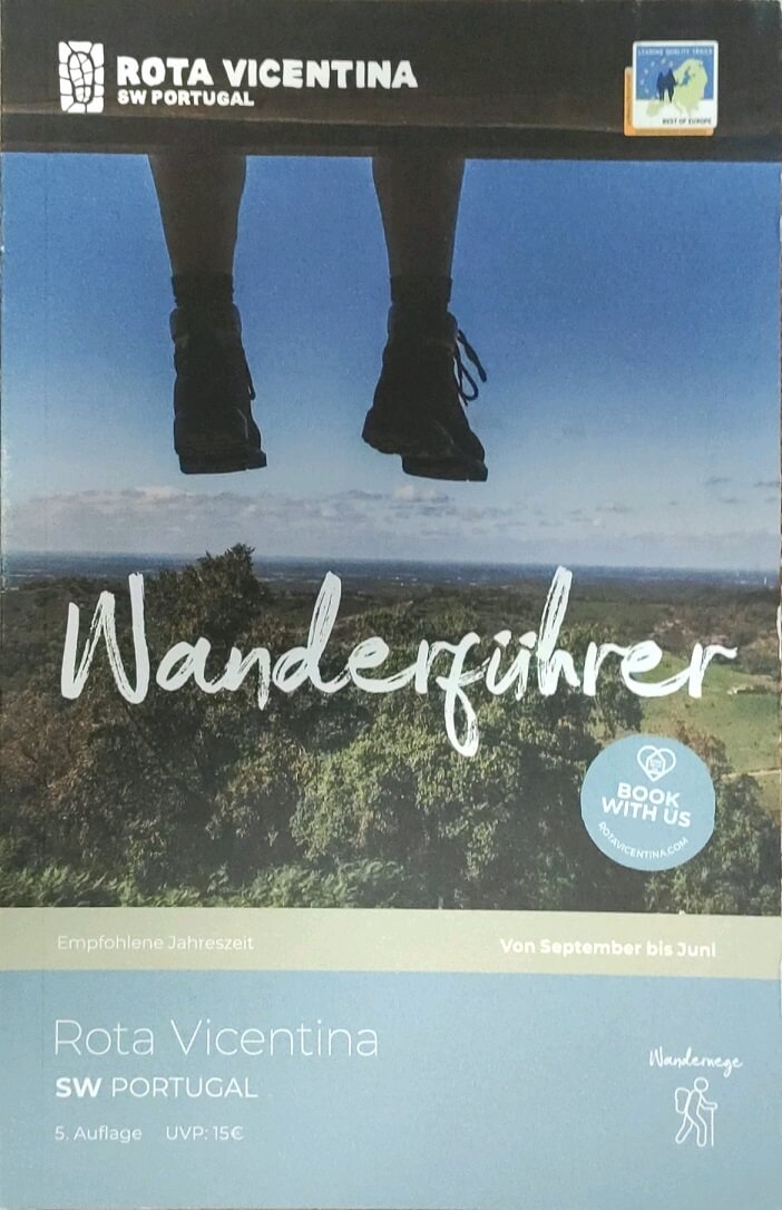
<div> Dies ist ein Wanderführer für die Rota Vicentina zwischen Santiago do Cacem und Cabo de S. Vicente. Er deckt zusätzlich auch Varianten ab und bietet vier Tagestouren außerhalb der Route. Das Wanderbuch für die Rota Vicentina beginnt mit praktischen Informationen und Hintergundwissen zur Strecke, folgt den einzelnen Etappen mit Übersicht, Beschreibung und Abschnittskarte und bietet so alle wichtigen Informationen.</div> <div> </div> <div> Die Rota Vicentina ist ein Wanderwegenetz (insgesamt 450 km) im Südwesten von Portugal, entlang einer der schönsten Küsten der Welt. Sie besteht aus dem "Fischerpfad", dem "Historischen Weg" und einigen Rundwegen, die wilde Küste liegt direkt am Naturpark Südwest-Alentejo und Costa Vicentina (Parque Natural do Sudoeste Alentejano e Costa Vicentina). Der gesamte Fernwanderweg ist in beide Richtungen ausgeschildert und kann selbstständig begangen werden, empfohlen sind die Monate September bis Juni. 2016 wurde der "Historische Weg" der Rota Vicentina mit dem europaweiten Qualitätsprädikat “Leading Quality Trails – Best of Europe” ausgezeichnet.</div> <div> </div> <div> Historischer Weg:</div> <div> </div> <div> Santiago do Cacem - Vale Seco - Cercal do Alentejo - S. Luis - Odemira - S. Teotonio - Odeceixe - Aljezur - Arrifana - Carrapateira - Vila o Bispo</div> <div> </div> <div> Fischerpfad:</div> <div> </div> <div> Porto Covo - Vila Nova de Milfontes - Almograve - Zambujeira do Mar - Strand Odeceixe - Strand Amoreira - Ponta da Atalaia - Pontal da Carrapateira - Strand Telheiro</div> <div> </div> <div> Rundwege: Dünen von Almograve - Gärten von S. Luis - Troviscais nach Mira - Santa Clara Route - Von Bordeira bis zum Meer - Endiabrada und die einsamen Seen - Die Hügel von Carrapateira</div>
€24,95
Bekijk product
€26,95
Bekijk product


<p> The definitive guidebook for the Tour des Combins: the new bucket list trek in the Swiss/Italian Alps. A superb alternative to the more famous Tour du Mont Blanc.<br /> <br /> Two-way guide: both clockwise and anti-clockwise routes are described in full.<br /> <br /> Real Maps: full mapping inside (1:40,000), made specifically for Knife Edge Outdoor Guidebooks.<br /> <br /> All accommodation/campsites are numbered and marked on the maps.<br /> <br /> 10 different itineraries: schedules of 6, 7, 8 and 9 days for hikers and runners. Includes both clockwise and anti-clockwise itineraries. Difficult calculations of time, distance and altitude gain/loss are done for you.<br /> <br /> <br /> Also includes:<br /> <br /> * Detailed information on equipment and travelling light<br /> <br /> * Full accommodation/campsite listings<br /> <br /> * Wild camping rules explained<br /> <br /> * Everything the trekker needs to know: route, costs, difficulty, weather and more<br /> <br /> * Travel to the trail-head<br /> <br /> * Essential info for both self-guided and guided trekkers<br /> <br /> * Information on plants and wildlife<br /> <br /> * Numbered waypoints linking the Real Maps to our clear descriptions<br /> <br /> <br /> <br /> The Tour des Combins is an epic trek in the Swiss and Italian Alps. It traverses some of Europe's wildest mountain terrain. The sublime scenery makes it a worthy alternative to the more famous Tour du Mont Blanc (which is only a stone's throw away).<br /> <br /> Hike along the edge of the Corbassière Glacier, one of the longest in Europe. Enjoy snow frosted summits, magnificent valleys and pastures, sparkling azure lakes, carpets of wild flowers, the soothing sound of cow bells and easy to follow paths. Stay in spectacularly situated villages and remote mountain huts. This will be a trip that you will never forget.</p>
€27,50
Bekijk product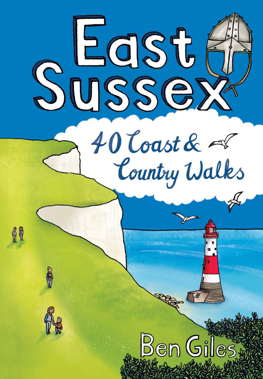
<div> Sitting alongside the English Channel in the southeast corner of England, East Sussex is famed for its rolling hills and magnificent wealdland, Norman battlefields and charming medieval villages, towering chalk cliffs and hip seaside resorts. The county is also traversed by the South Downs Way long distance walking route and is home to England's newest national park, as well as miles of beautiful sandy coastline. From short forays into wildlife-rich wetlands, nature reserves and woodlands to longer riverside meanders and rollercoaster treks along spectacular sea cliffs, the forty varied walks in this guide cover the best walking this glorious county has to offer.</div> <div> </div>
€10,95
Bekijk product