
Beantwoord enkele vragen, en binnen seconden geeft AI je een persoonlijk aankoopadvies op maat.
Beantwoord enkele vragen, en binnen seconden geeft AI je een persoonlijk aankoopadvies op maat.
€19,95
Bekijk product
<p> Uitstekende wandelgids met een groot aantal dagtochten in dal en hooggebergte. Met praktische informatie en beperkt kaartmateriaal! Wandelingen in verschillende zwaarte weergegeven in rood/blauw/zwart.<br /> </p> <p> Let op! Franstalig</p>
€18,50
Bekijk product

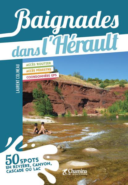
<p> Franstalige wandelgids met een beschrijving van een aantal dagtochten. Uitstekende beschrijvingen met duidelijk kaartmateriaal. Mislopen is nauwelijks mogelijk, maar ja .. de franse taal! Ook praktische informatie staat in deze gids. Alle gidsen bevatten een door ons toegevoegde uitgebreide frans - nederlandse wandelwoordenlijst</p> <div> A proximité du parc des Ecrins, 49 randonnées dans un cadre typiquement montagnard, le climat est influencé grandement par les remontées méditerranéennes le long de la vallée de la Durance.</div> <div> Cette région possède une variété de paysages avec un riche patrimoine architectural : chapelles aux peintures murales, fortifications, cadrans solaires et bâti rural caractéristique, et bien d'autres.</div>
€16,95
Bekijk product
€26,95
Bekijk product
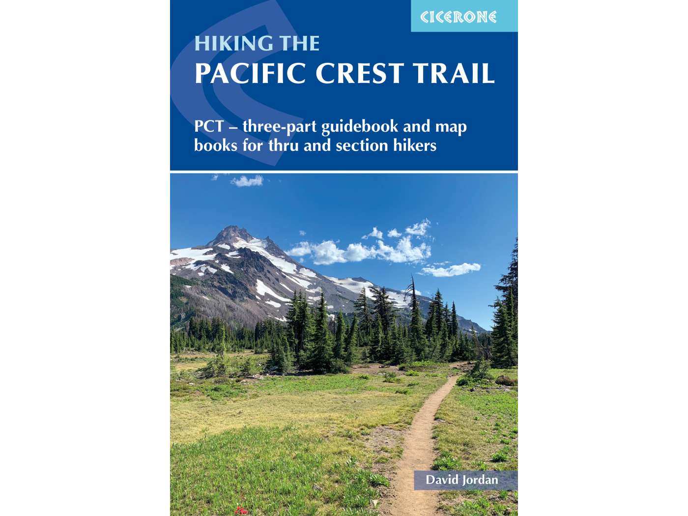
<div> A comprehensive three-book set providing all the information needed to prepare for and hike the Pacific Crest Trail (PCT), a 2650-mile hike through California, Oregon and Washington. Designed to be compact and lightweight the set is separated into three books, an introduction to the trail (130g) and two map books (200g and 170g).</div> <div> </div> <div> The introductory book covers all at-home planning and preparation for hiking the PCT.</div> <div> </div> <div> Detailed explanation of the trail structure, timings and how to approach the PCT</div> <div> Suggested itineraries for 110-, 120-, 130- and 140-day thru-hikes and an easy-going start option to aid with planning</div> <div> Advice on equipment and permits required on trail</div> <div> A background of the trail’s history</div> <div> A look at the wildlife, flora and fauna encountered on the trail</div> <div> The two map books are designed to be used on the trail, one covering the southern stages from the Mexico border to northern California at Interstate 5, the other detailing the northern stages in Oregon and Washington to the Canadian border.</div> <div> </div> <div> Presented as 100 1–3-day stages for easy planning of either day, section or thru-hikes</div> <div> Where possible stages begin/end at trailheads for easy access to the route</div> <div> 1:100,000 topographic maps for the whole trail that can be used to supplement or replace digital mapping apps</div> <div> Each stage contains a waymarked route description with mileages, mapping, profiles, and locations of water sources and campsites</div> <div> Resupply tables are included detailing where food, mail drops and laundrettes are available close to the trail</div>
€41,95
Bekijk product